
Geolocation-OSINT
Improve you Geolocation skills, with this ilist of resources.
Stars: 228
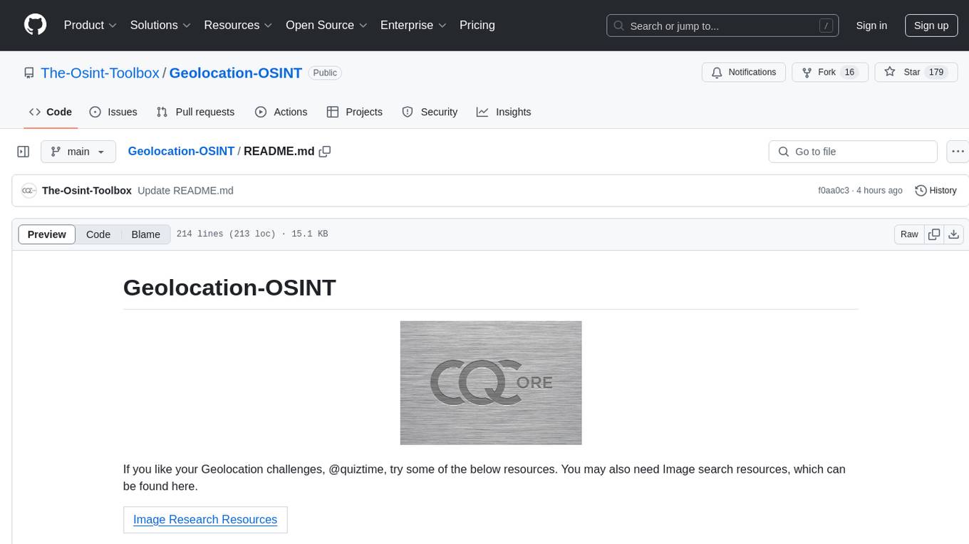
Geolocation-OSINT is a repository that provides a comprehensive list of resources, tools, and platforms for geolocation challenges and open-source intelligence. It includes a wide range of mapping services, image search tools, AI-powered geolocation estimators, and satellite imagery archives. The repository covers various aspects of geolocation, from finding GPS coordinates to estimating the size of objects in images. Users can access tools for social media monitoring, street-level imagery, and geospatial analysis. Geolocation-OSINT is a valuable resource for individuals interested in geolocation, mapping, and intelligence gathering.
README:
If you like your Geolocation challenges, @quiztime, try some of the below resources. You may also need Image search resources, which can be found here.
| Image Research Resources |
| Maps & Image Resources |
- All Trails
- Apple Maps
- Bbbike
- Bellingcat
- Bellingcat
- Bellingcat
- Bellingcat
- Bing Maps
- Calcmaps
- Check My Postcode
- Dual Maps
- EarthKit
- F4 Maps
- Flickr Map
- Geo-Estimation
- Geograph UK
- Geospy
- Google Map Developers
- Google Maps
- Gonzo GVision
- GPS Coordinates
- GPXEditor
- Grid Reference Finder UK
- Huntintel
- Instant Streetview
- Kartaview
- Liveumap
- Mapchecking
- Map Customizer
- Mapillary
- MapQuest
- Map Locus
- Map Orhyginal
- Neshan
- Omaps
- Open Aerial Map
- Open Infrastructure Map
- Open Street Maps
- Ordance Survey UK
- Overpass Turbo
- Overture Maps
- Peak Finder
- Peak Visor
- Picarta
- Pogomap
- QGIS
- Quick Geolocation Search
- ShadowMap
- ShadeMap
- Skydb
- Sky Scraper Page
- Spot
- Suncalc
- Time & Date
- What 3 Words
- Wikiloc
- Wikimapia
- Yandex Maps
AllTrails is a fitness and travel mobile app used in outdoor recreational activities.
Beta verison of Apple maps web.
BBBike Map Compare shows you more than 230 maps from OpenStreetMap, Google, Bing, Esri, Here and others side by side.
Find Geolocation leads with Bellingcat's OpenStreetMap search tool.
How to calculate the size of objects in open source material.
ShadowFinder Find possible locations of shadows around the world.
Search Grid Generator. Use the map to select an area of interest.
Map multiple locations, get transit/walking/driving directions, view live traffic conditions, plan trips & view satellite.
An online resource that enables visitors to easily and quickly use maps in order to measure, search and overlay mark-up elements on maps for a wide range of useful applications.
Use Check My Postcode to find out all the key information for UK local postcodes.
Dual maps combine Google Maps, Birds Eye Imagery and Google Street View into one embeddable control. Dual Maps are free to use. No registration is required.
A Nifty toolkit that helps you Geolocate faster with AI.
Explore the World in 3D.
Geolocated Flickr photographs displayed on a world map.
This tool demonstrates the automatic geolocation estimation of photos based on deep convolutional neural networks. In addition to the analysis of own photos, the user can compete in a quiz against the machine learning approach.
The Geograph Britain and Ireland project aims to collect geographically representative photographs and information for every square kilometre of Great Britain and Ireland.
Geospy will try to locate where an image was taken using AI
Map Developers provides prebuilt google maps functionality, along with custom built implementations made to your specifications.
Google Maps is a web mapping platform, It offers satellite imagery, aerial photography, street maps, 360° interactive panoramic views of streets (Street View), real-time traffic conditions, and route planning for traveling by foot, car, bike, air and public transportation.
GVision is a reverse image search app that use Google Cloud Vision API to detect landmarks and web entities from images, helping you gather valuable information quickly and easily.
Find the GPS coordinates of an address or a place.
GPX editor allows users to create or edit GPX files.
UK National Grid Map Reference Conversion for any location by simply right-clicking on the map. Postcode finder and bulk conversion tools.
Find social media posts surrounding a location.
Instantly see a Google Street View of any supported location. Easily share and save your favourite views.
KartaView,is a project to collect crowdsourced street-level photographs.
Monitors and indicates activities on online geographic maps
MapChecking helps you estimate the number of people standing in a given area. Fact check and debunk political claims during gatherings, march, and protests.
You can use this site to plot multiple addresses on a single map using Google Maps.
Access street-level imagery and map data from all over the world.
MapQuest created the world's first online mapping and turn-by-turn directions service.
Map App, for biking, hiking & camping.
Map source aggregator.
Persian / Iranian version of Google Maps
Orienteering Maps.
OpenAerialMap is an open service to provide access to a commons of openly licensed imagery and map layer services.
Open Infrastructure Map is a view of the world's infrastructure mapped in the OpenStreetMap database.
OpenStreetMap is a map of the world, created by people like you and free to use under an open license.
Ordnance Survey (OS) is the national mapping agency for Great Britain.
Overpass turbo is a web based data mining tool for OpenStreetMap.
Access detailed building data, current social associations and metadata linked to the location.
PeakFinder shows a 360° panoramic view from an arbitrary viewpoint of your choice.
PeakVisor uses your iPhone's camera and augmented reality (AR) technology to display names and elevation of nearby peaks.
Picarta will predict where a photo has been taken in the world using Artificial Intelligence.
PogoMap.Info provides the community with a worldwide pokestop, gym.
Create, edit, visualise, analyse and publish geospatial information on Windows, macOS, Linux, BSD and mobile devices.
This simple tool helps save a lot of time when gathering information about geolocation.
Shadowmap helps you to visualize and analyze sunlight, shadows and solar potential.
Year round map of sun and shade.
SKYDB is the world's database about tall buildings.
Skyscraper enthusiast website featuring buildings database, discussion forum and skyscraper diagrams.
Spot allows you to search for relations between entities in OpenStreetMap.
SunCalc shows the movement of the sun and sunlight-phase for a certain day at a certain place.
Current Time (World Clock) and online and printable Calendars for countries worldwide.
Every 3 metre square of the world has been given a unique combination of three words. Used for e-commerce and delivery, navigation, emergencies and more.
Wikiloc is a place to discover and share the best outdoor trails for hiking, cycling and many other activities.
Wikimapia is an online editable map - you can describe any place on Earth. Or just surf the map discovering tonns of already marked places.
Yandex Maps will help you find your destination even if you don't have the exact address — get a route for taking public transport, driving, or walking.
| UK Specific Resources |
- Check My Postcode
- Doogal
- Mendip Data Systems
- ONS Maps
- Open Door Logistics
- Ordance Survey
- Royal Mail PAF
Use Check My Postcode to find out all the key information for UK local postcodes.
A site covering UK postcodes, map tools, cycling and Strava.
The site includes several commercial applications as well as a wide range of free example applications, code samples and extended articles.
The Office for National Statistics aggregates OS postcode data and data from other sources and provides it in a variety of formats.
Open Door Logistics provide free Shapefile polygons defining the boundaries of UK postcode areas, districts and sectors.
At OS, they use location data and intelligence to illuminate the unseen.
Highly accurate address and Postcode information in Royal Mail’s Postcode Address File.
| Satellite Resources |
- Apollo Mapping
- Copernicus
- Developers Google Earth
- Google Earth
- Google Earth Engine
- Google Earth Pro
- Maxmar
- Sentinel
- Soar Earth
- Zoom
Search and buy from the largest satellite imagery archive. 56 satellites and 117 Million+ Images.
The Copernicus Open Access Hub (previously known as Sentinels Scientific Data Hub) provides complete, free and open access to Sentinel-1, Sentinel-2, Sentinel-3 and Sentinel-5P user products.
Google Earth Engine combines a multi-petabyte catalog of satellite imagery and geospatial datasets.
Explore worldwide satellite imagery and 3D buildings and terrain for hundreds of cities. Zoom to your house or anywhere else.
Google Earth Engine is a cloud-based geospatial analysis platform that enables users to visualize and analyze satellite images of our planet.
The offline version of Google Earth a more versatile and complete option that’s designed to be downloaded to your desktop.
Maxar has the largest archive of high-resolution satellite imagery, with more than 3.8 million square kilometers of imagery.
Sentinel Hub is an engine for processing of petabytes of satellite data. It is opening the doors for machine learning and helping hundreds of application.
Soar is the new atlas of the world's maps and satellite imagery, crowd-sourced from individuals, organisations, and the broader community.
World weather map. Track hurricanes, cyclones, storms. View LIVE satellite images, rain radar, forecast maps of wind, temperature for your location.
| Drone Resources |
- Drone Stagr
- Mixkit
- Travel With Drone
- Airvuz
- Dronezon
DRONESTAG is a global platform only dedicated to drone photography. Browse through 100.000 drone images and share your own ones with our community.
Choose from incredible footage of things you couldn't otherwise see up close and explore videos made by drones of landscapes, forests, boats and cities.
Travelwithdrone.com is an independent website where you can see free best drone videos from all over the world.
Discover, watch, and share breathtaking drone videos from scenic locations as well as videos from the world's top drone racing and FPV freestyle pilots.
Drone videos of terrific scenery and action from around the globe.
| Video Geolocation |
- Snapmap (App Only)
- Youtube Geofind
Snap Map uses a device's location information to locate users on a virtual map that is visible to other Snapchat users.
Web-tool to search YouTube for geographically tagged videos by channel, topic, and location. Videos are viewable in a map and exportabled to CSV.
| Traffic Cameras |
- Open Traffic Cam
- UK Traffic Live
- Waze Live Map
A collection of publicly accessible traffic camera feeds from the USA.
Real-time monitoring of the UK’s 4,339 live traffic cameras.
Waze Live Map is a browser-based version of the operational Waze maps. It displays current traffic and reports from Wazers using their client app.
For Tasks:
Click tags to check more tools for each tasksFor Jobs:
Alternative AI tools for Geolocation-OSINT
Similar Open Source Tools

Geolocation-OSINT
Geolocation-OSINT is a repository that provides a comprehensive list of resources, tools, and platforms for geolocation challenges and open-source intelligence. It includes a wide range of mapping services, image search tools, AI-powered geolocation estimators, and satellite imagery archives. The repository covers various aspects of geolocation, from finding GPS coordinates to estimating the size of objects in images. Users can access tools for social media monitoring, street-level imagery, and geospatial analysis. Geolocation-OSINT is a valuable resource for individuals interested in geolocation, mapping, and intelligence gathering.
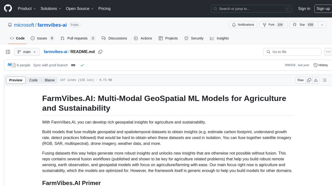
farmvibes-ai
FarmVibes.AI is a repository focused on developing multi-modal geospatial machine learning models for agriculture and sustainability. It enables users to fuse various geospatial and spatiotemporal datasets, such as satellite imagery, drone imagery, and weather data, to generate robust insights for agriculture-related problems. The repository provides fusion workflows, data preparation tools, model training notebooks, and an inference engine to facilitate the creation of geospatial models tailored for agriculture and farming. Users can interact with the tools via a local cluster, REST API, or a Python client, and the repository includes documentation and notebook examples to guide users in utilizing FarmVibes.AI for tasks like harvest date detection, climate impact estimation, micro climate prediction, and crop identification.
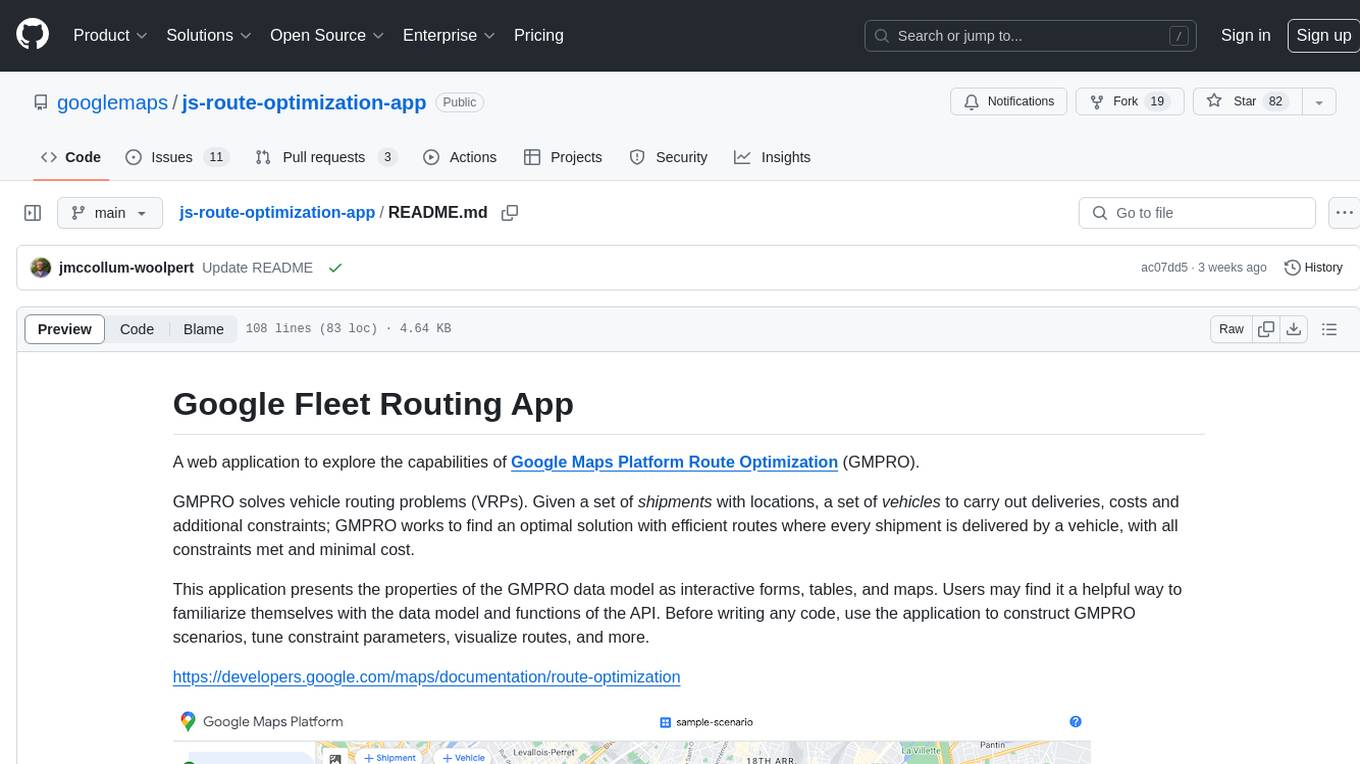
js-route-optimization-app
A web application to explore the capabilities of Google Maps Platform Route Optimization (GMPRO). It helps users understand the data model and functions of the API by presenting interactive forms, tables, and maps. The tool is intended for exploratory use only and should not be deployed in production. Users can construct scenarios, tune constraint parameters, and visualize routes before implementing their own solutions for integrating Route Optimization into their business processes. The application incurs charges related to cloud resources and API usage, and users should be cautious about generating high usage volumes, especially for large scenarios.
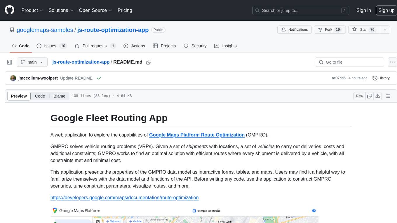
js-route-optimization-app
A web application to explore the capabilities of Google Maps Platform Route Optimization (GMPRO) for solving vehicle routing problems. Users can interact with the GMPRO data model through forms, tables, and maps to construct scenarios, tune constraints, and visualize routes. The application is intended for exploration purposes only and should not be deployed in production. Users are responsible for billing related to cloud resources and API usage. It is important to understand the pricing models for Maps Platform and Route Optimization before using the application.
Large-Language-Models
Large Language Models (LLM) are used to browse the Wolfram directory and associated URLs to create the category structure and good word embeddings. The goal is to generate enriched prompts for GPT, Wikipedia, Arxiv, Google Scholar, Stack Exchange, or Google search. The focus is on one subdirectory: Probability & Statistics. Documentation is in the project textbook `Projects4.pdf`, which is available in the folder. It is recommended to download the document and browse your local copy with Chrome, Edge, or other viewers. Unlike on GitHub, you will be able to click on all the links and follow the internal navigation features. Look for projects related to NLP and LLM / xLLM. The best starting point is project 7.2.2, which is the core project on this topic, with references to all satellite projects. The project textbook (with solutions to all projects) is the core document needed to participate in the free course (deep tech dive) called **GenAI Fellowship**. For details about the fellowship, follow the link provided. An uncompressed version of `crawl_final_stats.txt.gz` is available on Google drive, which contains all the crawled data needed as input to the Python scripts in the XLLM5 and XLLM6 folders.

AliceVision
AliceVision is a photogrammetric computer vision framework which provides a 3D reconstruction pipeline. It is designed to process images from different viewpoints and create detailed 3D models of objects or scenes. The framework includes various algorithms for feature detection, matching, and structure from motion. AliceVision is suitable for researchers, developers, and enthusiasts interested in computer vision, photogrammetry, and 3D modeling. It can be used for applications such as creating 3D models of buildings, archaeological sites, or objects for virtual reality and augmented reality experiences.
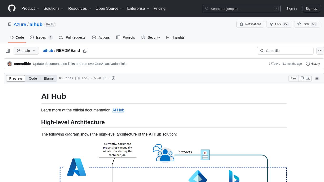
aihub
AI Hub is a comprehensive solution that leverages artificial intelligence and cloud computing to provide functionalities such as document search and retrieval, call center analytics, image analysis, brand reputation analysis, form analysis, document comparison, and content safety moderation. It integrates various Azure services like Cognitive Search, ChatGPT, Azure Vision Services, and Azure Document Intelligence to offer scalable, extensible, and secure AI-powered capabilities for different use cases and scenarios.
ai-powered-search
AI-Powered Search provides code examples for the book 'AI-Powered Search' by Trey Grainger, Doug Turnbull, and Max Irwin. The book teaches modern machine learning techniques for building search engines that continuously learn from users and content to deliver more intelligent and domain-aware search experiences. It covers semantic search, retrieval augmented generation, question answering, summarization, fine-tuning transformer-based models, personalized search, machine-learned ranking, click models, and more. The code examples are in Python, leveraging PySpark for data processing and Apache Solr as the default search engine. The repository is open source under the Apache License, Version 2.0.
chat-with-your-data-solution-accelerator
Chat with your data using OpenAI and AI Search. This solution accelerator uses an Azure OpenAI GPT model and an Azure AI Search index generated from your data, which is integrated into a web application to provide a natural language interface, including speech-to-text functionality, for search queries. Users can drag and drop files, point to storage, and take care of technical setup to transform documents. There is a web app that users can create in their own subscription with security and authentication.
TagUI
TagUI is an open-source RPA tool that allows users to automate repetitive tasks on their computer, including tasks on websites, desktop apps, and the command line. It supports multiple languages and offers features like interacting with identifiers, automating data collection, moving data between TagUI and Excel, and sending Telegram notifications. Users can create RPA robots using MS Office Plug-ins or text editors, run TagUI on the cloud, and integrate with other RPA tools. TagUI prioritizes enterprise security by running on users' computers and not storing data. It offers detailed logs, enterprise installation guides, and support for centralised reporting.

gen-cv
This repository is a rich resource offering examples of synthetic image generation, manipulation, and reasoning using Azure Machine Learning, Computer Vision, OpenAI, and open-source frameworks like Stable Diffusion. It provides practical insights into image processing applications, including content generation, video analysis, avatar creation, and image manipulation with various tools and APIs.

Here-Comes-the-AI-Worm
Large Language Models (LLMs) are now embedded in everyday tools like email assistants, chat apps, and productivity software. This project introduces DonkeyRail, a lightweight guardrail that detects and blocks malicious self-replicating prompts known as RAGworm within GenAI-powered applications. The guardrail is fast, accurate, and practical for real-world GenAI systems, preventing activities like spam, phishing campaigns, and data leaks.
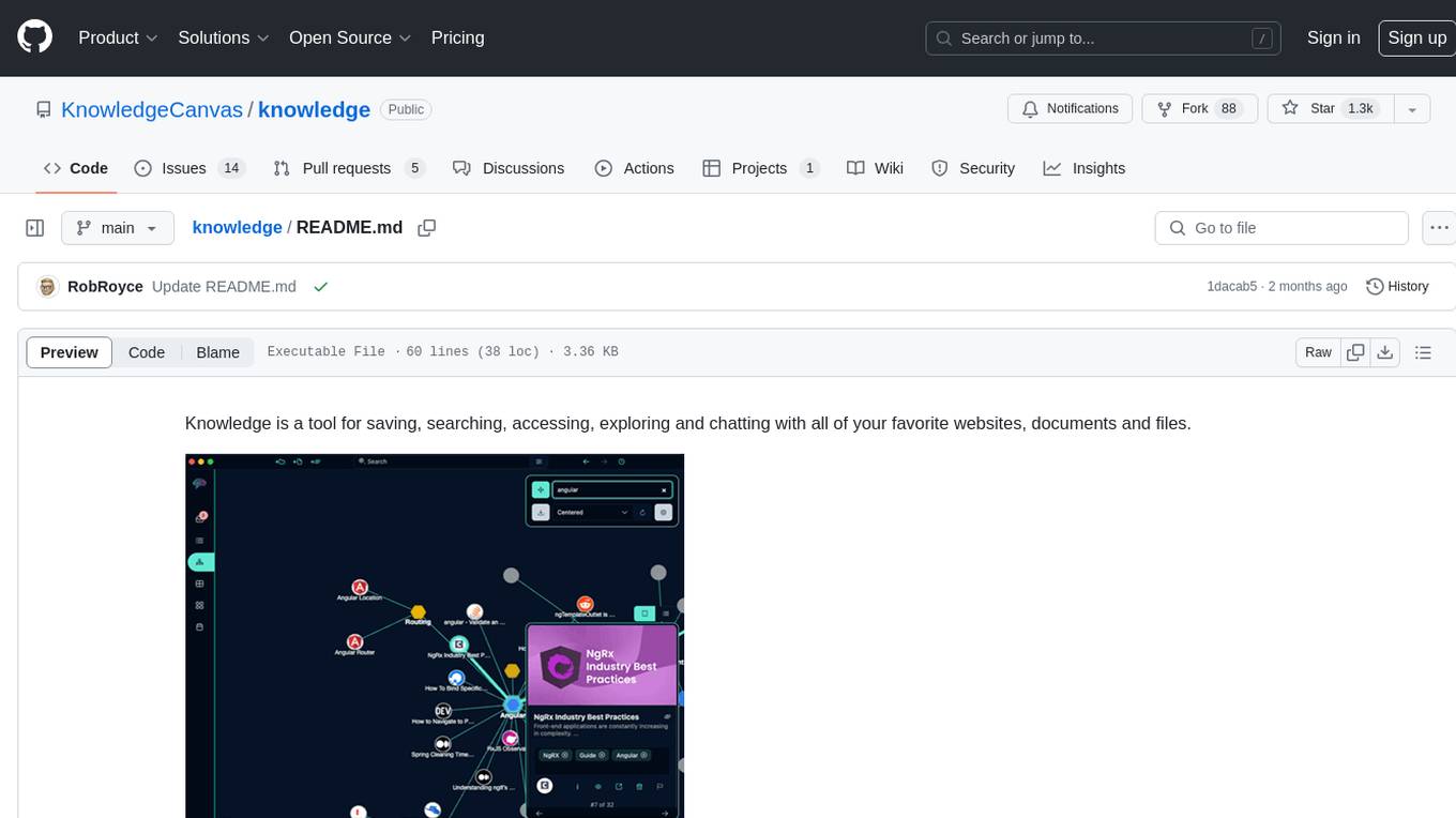
knowledge
Knowledge is a tool for saving, searching, accessing, exploring and chatting with all of your favorite websites, documents and files. Dive into a more interactive learning experience with Knowledge's new Chat feature! Engage in dynamic conversations with your Projects and Sources, leveraging the power of Large Language Models. The Chat feature is designed to transform the way you interact with your data, offering a more engaging and exploratory approach to learning. Unleash the power of context with the built-in Chromium browser. Transform your browsing into knowledge gathering effortlessly.
dstoolkit-text2sql-and-imageprocessing
This repository provides sample code for improving RAG applications with rich data sources including SQL Warehouses and documents analysed with Azure Document Intelligence. It includes components for Text2SQL generation and querying, linking Azure Document Intelligence with AI Search for processing complex documents, and deploying AI search indexes. The plugins and skills aim to enhance response quality in RAG applications by accessing and pulling data from SQL tables, drawing insights from complex charts and images, and intelligently grouping similar sentences.
awesome-generative-ai
Awesome Generative AI is a curated list of modern Generative Artificial Intelligence projects and services. Generative AI technology creates original content like images, sounds, and texts using machine learning algorithms trained on large data sets. It can produce unique and realistic outputs such as photorealistic images, digital art, music, and writing. The repo covers a wide range of applications in art, entertainment, marketing, academia, and computer science.

Document-Knowledge-Mining-Solution-Accelerator
The Document Knowledge Mining Solution Accelerator leverages Azure OpenAI and Azure AI Document Intelligence to ingest, extract, and classify content from various assets, enabling chat-based insight discovery, analysis, and prompt guidance. It uses OCR and multi-modal LLM to extract information from documents like text, handwritten text, charts, graphs, tables, and form fields. Users can customize the technical architecture and data processing workflow. Key features include ingesting and extracting real-world entities, chat-based insights discovery, text and document data analysis, prompt suggestion guidance, and multi-modal information processing.
For similar tasks

Geolocation-OSINT
Geolocation-OSINT is a repository that provides a comprehensive list of resources, tools, and platforms for geolocation challenges and open-source intelligence. It includes a wide range of mapping services, image search tools, AI-powered geolocation estimators, and satellite imagery archives. The repository covers various aspects of geolocation, from finding GPS coordinates to estimating the size of objects in images. Users can access tools for social media monitoring, street-level imagery, and geospatial analysis. Geolocation-OSINT is a valuable resource for individuals interested in geolocation, mapping, and intelligence gathering.

taranis-ai
Taranis AI is an advanced Open-Source Intelligence (OSINT) tool that leverages Artificial Intelligence to revolutionize information gathering and situational analysis. It navigates through diverse data sources like websites to collect unstructured news articles, utilizing Natural Language Processing and Artificial Intelligence to enhance content quality. Analysts then refine these AI-augmented articles into structured reports that serve as the foundation for deliverables such as PDF files, which are ultimately published.

llm-d
LLM-D is a machine learning model for sentiment analysis. It is designed to classify text data into positive, negative, or neutral sentiment categories. The model is trained on a large dataset of labeled text samples and uses natural language processing techniques to analyze and predict sentiment in new text inputs. LLM-D is a powerful tool for businesses and researchers looking to understand customer feedback, social media sentiment, and other text data sources. It can be easily integrated into existing applications or used as a standalone tool for sentiment analysis tasks.
For similar jobs

Geolocation-OSINT
Geolocation-OSINT is a repository that provides a comprehensive list of resources, tools, and platforms for geolocation challenges and open-source intelligence. It includes a wide range of mapping services, image search tools, AI-powered geolocation estimators, and satellite imagery archives. The repository covers various aspects of geolocation, from finding GPS coordinates to estimating the size of objects in images. Users can access tools for social media monitoring, street-level imagery, and geospatial analysis. Geolocation-OSINT is a valuable resource for individuals interested in geolocation, mapping, and intelligence gathering.
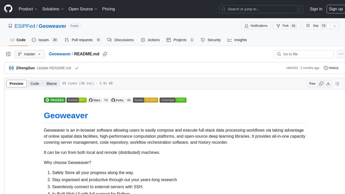
Geoweaver
Geoweaver is an in-browser software that enables users to easily compose and execute full-stack data processing workflows using online spatial data facilities, high-performance computation platforms, and open-source deep learning libraries. It provides server management, code repository, workflow orchestration software, and history recording capabilities. Users can run it from both local and remote machines. Geoweaver aims to make data processing workflows manageable for non-coder scientists and preserve model run history. It offers features like progress storage, organization, SSH connection to external servers, and a web UI with Python support.
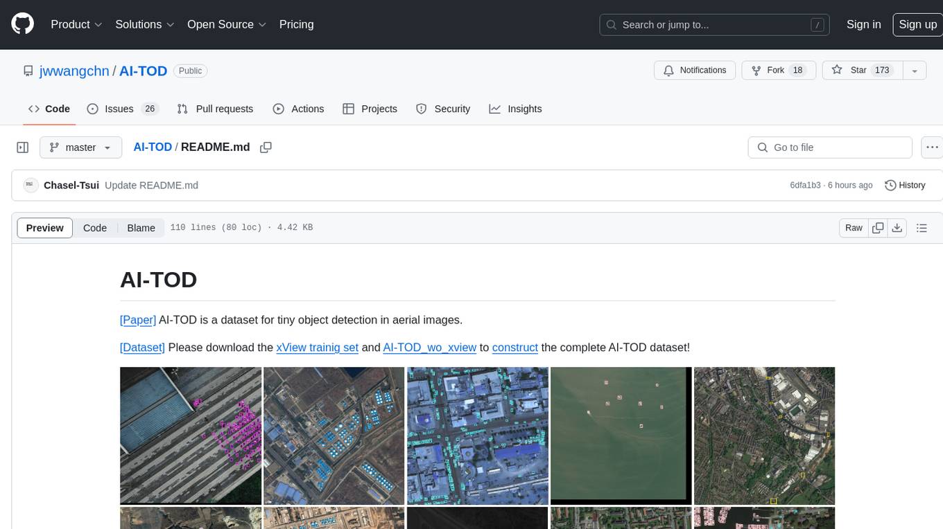
AI-TOD
AI-TOD is a dataset for tiny object detection in aerial images, containing 700,621 object instances across 28,036 images. Objects in AI-TOD are smaller with a mean size of 12.8 pixels compared to other aerial image datasets. To use AI-TOD, download xView training set and AI-TOD_wo_xview, then generate the complete dataset using the provided synthesis tool. The dataset is publicly available for academic and research purposes under CC BY-NC-SA 4.0 license.
aitlas
The AiTLAS toolbox (Artificial Intelligence Toolbox for Earth Observation) includes state-of-the-art machine learning methods for exploratory and predictive analysis of satellite imagery as well as a repository of AI-ready Earth Observation (EO) datasets. It can be easily applied for a variety of Earth Observation tasks, such as land use and cover classification, crop type prediction, localization of specific objects (semantic segmentation), etc. The main goal of AiTLAS is to facilitate better usability and adoption of novel AI methods (and models) by EO experts, while offering easy access and standardized format of EO datasets to AI experts which allows benchmarking of various existing and novel AI methods tailored for EO data.

farmvibes-ai
FarmVibes.AI is a repository focused on developing multi-modal geospatial machine learning models for agriculture and sustainability. It enables users to fuse various geospatial and spatiotemporal datasets, such as satellite imagery, drone imagery, and weather data, to generate robust insights for agriculture-related problems. The repository provides fusion workflows, data preparation tools, model training notebooks, and an inference engine to facilitate the creation of geospatial models tailored for agriculture and farming. Users can interact with the tools via a local cluster, REST API, or a Python client, and the repository includes documentation and notebook examples to guide users in utilizing FarmVibes.AI for tasks like harvest date detection, climate impact estimation, micro climate prediction, and crop identification.
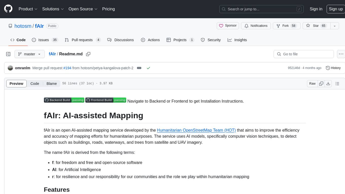
fAIr
fAIr is an open AI-assisted mapping service developed by the Humanitarian OpenStreetMap Team (HOT) to improve mapping efficiency and accuracy for humanitarian purposes. It uses AI models, specifically computer vision techniques, to detect objects like buildings, roads, waterways, and trees from satellite and UAV imagery. The service allows OSM community members to create and train their own AI models for mapping in their region of interest and ensures models are relevant to local communities. Constant feedback loop with local communities helps eliminate model biases and improve model accuracy.
LLM-Geo
LLM-Geo is an AI-powered geographic information system (GIS) that leverages Large Language Models (LLMs) for automatic spatial data collection, analysis, and visualization. By adopting LLM as the reasoning core, it addresses spatial problems with self-generating, self-organizing, self-verifying, self-executing, and self-growing capabilities. The tool aims to make spatial analysis easier, faster, and more accessible by reducing manual operation time and delivering accurate results through case studies. It uses GPT-4 API in a Python environment and advocates for further research and development in autonomous GIS.
ForAINet
This repository contains the official code for the paper 'Automated forest inventory: analysis of high-density airborne LiDAR point clouds with 3D deep learning'. It provides tools for point cloud segmentation experiments based on different settings, tree parameters extraction, handling large point clouds through tiling, predicting, and merging workflows. Additionally, it includes commands for training, testing, and evaluating the models, along with the necessary datasets and pretrained models.
