Best AI tools for< Geospatial Analyst >
Infographic
11 - AI tool Sites

Gemini AI
Gemini AI is an AI and ML solutions provider that accelerates innovation through artificial intelligence. The company leads the revolution of artificial intelligence for augmented intelligence, leveraging cutting-edge AI and ML to solve challenging problems and augment human intelligence. Gemini AI specializes in areas such as computer vision, geospatial science, human health, and integrative technologies. Their services include data and sensors analysis, modeling with deep learning techniques, and deployment of predictive models for real-time insights.
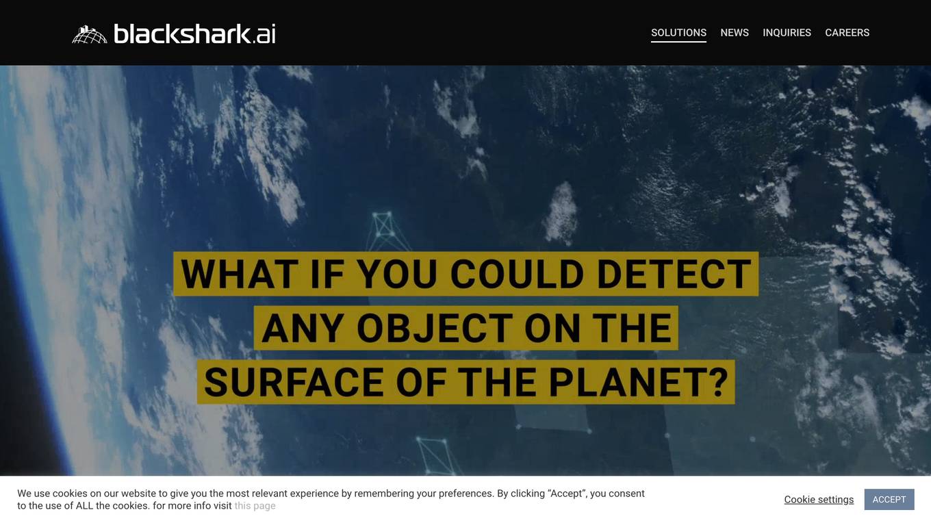
Blackshark.ai
Blackshark.ai is an AI-based platform that generates real-time accurate semantic photorealistic 3D digital twin of the entire planet. The platform extracts insights about the planet's infrastructure from satellite and aerial imagery via machine learning at a global scale. It enriches missing attributes using AI to provide a photorealistic, geo-typical, or asset-specific digital twin. The results can be used for visualization, simulation, mapping, mixed reality environments, and other enterprise solutions. The platform offers end-to-end geospatial solutions, including globe data input sources, no-code data labeling, geointelligence at scale, 3D semantic map, and synthetic environments.
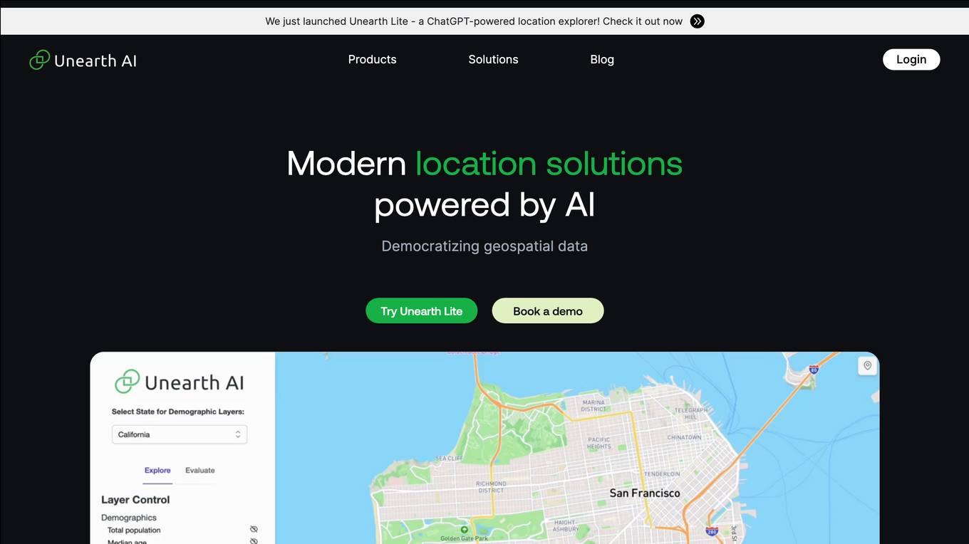
Unearth AI
Unearth AI is a platform offering geospatial data and location solutions. It provides various products like Unearth Lite, Unearth Insights, and Unearth Platform to cater to different needs. Unearth Lite is a ChatGPT-powered location explorer that offers a simple dashboard to explore locations worldwide. The platform aims to democratize geospatial data and is trusted by fast-growing businesses. With modern location solutions powered by AI, Unearth AI is revolutionizing the way businesses interact with and analyze location-based data.
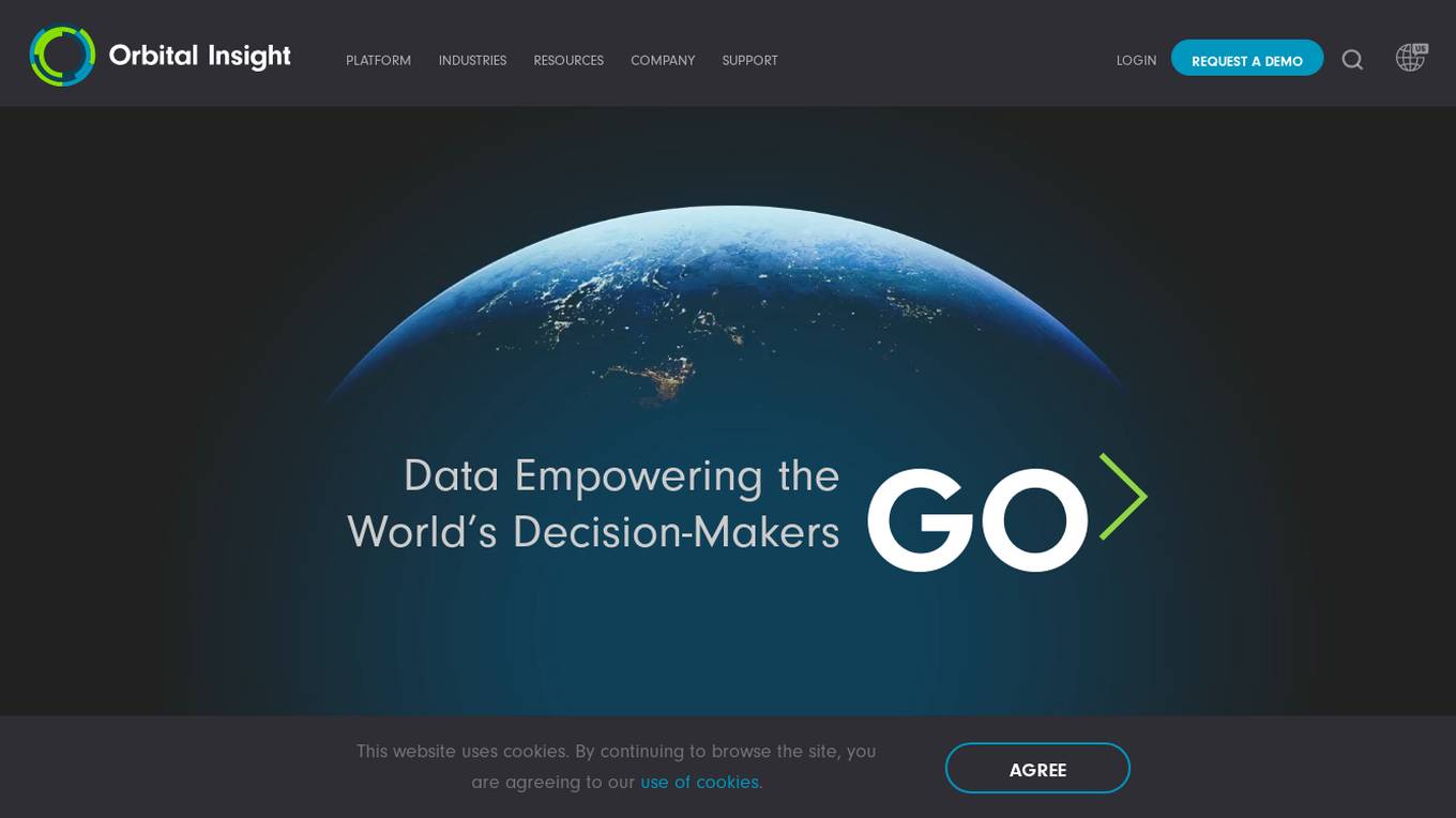
Orbital Insight GO Platform
Orbital Insight is a leading geospatial data analytics platform that provides users with the ability to query the world with three basic parameters: WHAT type of activity? WHERE on earth? WHEN? The platform automates the most difficult steps of deriving insights, allowing you to answer many challenging geospatial questions. Orbital Insight's GO platform is designed for enterprise collaboration and transforms multiple geospatial data sources to accelerate and streamline team member's research, reporting, due diligence, and more.
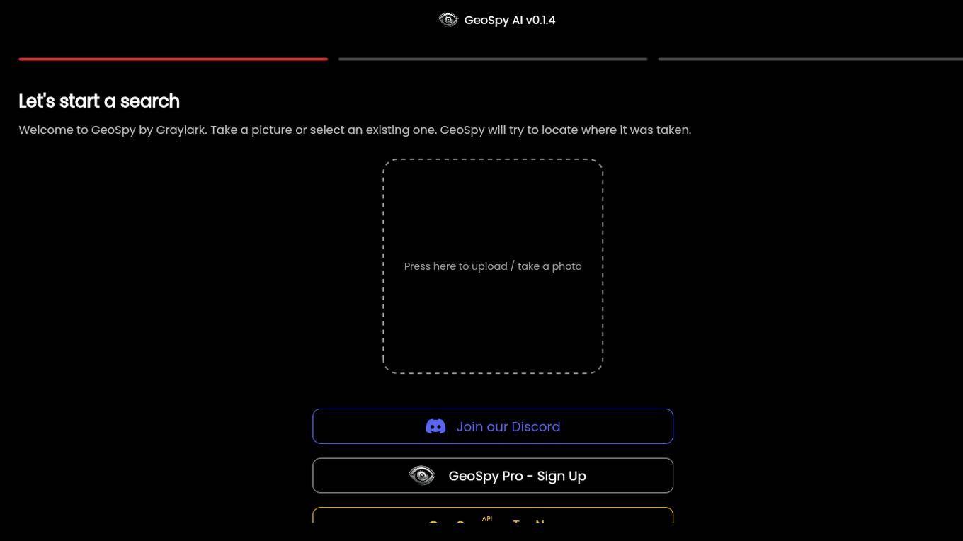
GeoSpy.ai
GeoSpy.ai is a web-based geospatial intelligence platform that provides users with access to a variety of geospatial data and tools. The platform allows users to create and share maps, analyze data, and collaborate with others. GeoSpy.ai is used by a variety of professionals, including law enforcement, intelligence analysts, and environmental scientists.
HEAVY.AI
HEAVY.AI is a cutting-edge analytics and location intelligence platform that empowers users to make time-sensitive, high-impact decisions over vast datasets. The platform offers Conversational Analytics, enabling users to ask questions about their data in natural language and view actionable visualizations instantly. With HeavyEco, the platform also supports emergency response efforts by streamlining the management of weather events. HEAVY.AI combines interactive visual analytics, hardware-accelerated SQL, and advanced analytics & data science framework to uncover hidden opportunities and risks within enterprise datasets.

Pointly
Pointly is an intelligent, cloud-based B2B software solution that enables efficient automatic and advanced manual classification in 3D point clouds. It offers innovative AI techniques for fast and precise data classification and vectorization, transforming point cloud analysis into an enjoyable and efficient workflow. Pointly provides standard and custom classifiers, tools for classification and vectorization, API and on-premise classification options, collaboration features, secure cloud processing, and scalability for handling large-scale point cloud data.
FlyPix
FlyPix is an AI-enabled geospatial solutions platform that leverages advanced AI technology to transform object detection, localization, tracking, and monitoring in the field of geospatial technology. The platform offers a wide range of capabilities, including AI-driven object analysis, change and anomaly detection, dynamic tracking, and custom use cases tailored to meet unique industry needs. FlyPix aims to provide unparalleled precision and efficiency in operations by converting complex imagery into actionable, geo-referenced insights.
Bayanat
Bayanat is an AI-powered geospatial intelligence company that offers predictive intelligence solutions, smart operations solutions, and smart mobility solutions to various sectors such as defense, environment, energy & resources, smart cities, and transportation. With over 50 years of experience, Bayanat provides high-quality geospatial data, geo-intelligence, and AI-powered data analytics to drive human progress and create game-changing advantages for its clients in the UAE, the Middle East, and beyond.
Picterra
Picterra is a geospatial AI platform that offers reliable solutions for sustainability, compliance, monitoring, and verification. It provides an all-in-one plot monitoring system, professional services, and interactive tours. Users can build custom AI models to detect objects, changes, or patterns using various geospatial imagery data. Picterra aims to revolutionize geospatial analysis with its category-leading AI technology, enabling users to solve challenges swiftly, collaborate more effectively, and scale further.
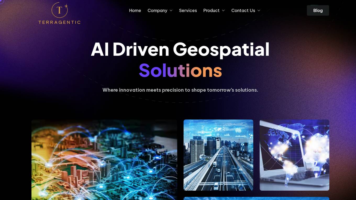
Terragentic
Terragentic is an AI-driven geospatial technology company that empowers sustainable resource management and transformative decision-making. They provide cutting-edge geospatial services, precise mapping, advanced data analytics, and innovative applications of artificial intelligence to solve complex challenges across diverse sectors. Terragentic is committed to environmental stewardship, ethical business practices, and delivering high-quality, AI-enhanced, accurate, and actionable geospatial intelligence to empower industries.
14 - Open Source Tools
Geoweaver
Geoweaver is an in-browser software that enables users to easily compose and execute full-stack data processing workflows using online spatial data facilities, high-performance computation platforms, and open-source deep learning libraries. It provides server management, code repository, workflow orchestration software, and history recording capabilities. Users can run it from both local and remote machines. Geoweaver aims to make data processing workflows manageable for non-coder scientists and preserve model run history. It offers features like progress storage, organization, SSH connection to external servers, and a web UI with Python support.
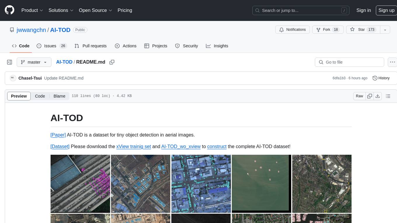
AI-TOD
AI-TOD is a dataset for tiny object detection in aerial images, containing 700,621 object instances across 28,036 images. Objects in AI-TOD are smaller with a mean size of 12.8 pixels compared to other aerial image datasets. To use AI-TOD, download xView training set and AI-TOD_wo_xview, then generate the complete dataset using the provided synthesis tool. The dataset is publicly available for academic and research purposes under CC BY-NC-SA 4.0 license.
aitlas
The AiTLAS toolbox (Artificial Intelligence Toolbox for Earth Observation) includes state-of-the-art machine learning methods for exploratory and predictive analysis of satellite imagery as well as a repository of AI-ready Earth Observation (EO) datasets. It can be easily applied for a variety of Earth Observation tasks, such as land use and cover classification, crop type prediction, localization of specific objects (semantic segmentation), etc. The main goal of AiTLAS is to facilitate better usability and adoption of novel AI methods (and models) by EO experts, while offering easy access and standardized format of EO datasets to AI experts which allows benchmarking of various existing and novel AI methods tailored for EO data.
farmvibes-ai
FarmVibes.AI is a repository focused on developing multi-modal geospatial machine learning models for agriculture and sustainability. It enables users to fuse various geospatial and spatiotemporal datasets, such as satellite imagery, drone imagery, and weather data, to generate robust insights for agriculture-related problems. The repository provides fusion workflows, data preparation tools, model training notebooks, and an inference engine to facilitate the creation of geospatial models tailored for agriculture and farming. Users can interact with the tools via a local cluster, REST API, or a Python client, and the repository includes documentation and notebook examples to guide users in utilizing FarmVibes.AI for tasks like harvest date detection, climate impact estimation, micro climate prediction, and crop identification.
fAIr
fAIr is an open AI-assisted mapping service developed by the Humanitarian OpenStreetMap Team (HOT) to improve mapping efficiency and accuracy for humanitarian purposes. It uses AI models, specifically computer vision techniques, to detect objects like buildings, roads, waterways, and trees from satellite and UAV imagery. The service allows OSM community members to create and train their own AI models for mapping in their region of interest and ensures models are relevant to local communities. Constant feedback loop with local communities helps eliminate model biases and improve model accuracy.
LLM-Geo
LLM-Geo is an AI-powered geographic information system (GIS) that leverages Large Language Models (LLMs) for automatic spatial data collection, analysis, and visualization. By adopting LLM as the reasoning core, it addresses spatial problems with self-generating, self-organizing, self-verifying, self-executing, and self-growing capabilities. The tool aims to make spatial analysis easier, faster, and more accessible by reducing manual operation time and delivering accurate results through case studies. It uses GPT-4 API in a Python environment and advocates for further research and development in autonomous GIS.
Geolocation-OSINT
Geolocation-OSINT is a repository that provides a comprehensive list of resources, tools, and platforms for geolocation challenges and open-source intelligence. It includes a wide range of mapping services, image search tools, AI-powered geolocation estimators, and satellite imagery archives. The repository covers various aspects of geolocation, from finding GPS coordinates to estimating the size of objects in images. Users can access tools for social media monitoring, street-level imagery, and geospatial analysis. Geolocation-OSINT is a valuable resource for individuals interested in geolocation, mapping, and intelligence gathering.
ForAINet
This repository contains the official code for the paper 'Automated forest inventory: analysis of high-density airborne LiDAR point clouds with 3D deep learning'. It provides tools for point cloud segmentation experiments based on different settings, tree parameters extraction, handling large point clouds through tiling, predicting, and merging workflows. Additionally, it includes commands for training, testing, and evaluating the models, along with the necessary datasets and pretrained models.
geoai
geoai is a Python package designed for utilizing Artificial Intelligence (AI) in the context of geospatial data. It allows users to visualize various types of geospatial data such as vector, raster, and LiDAR data. Additionally, the package offers functionalities for segmenting remote sensing imagery using the Segment Anything Model and classifying remote sensing imagery with deep learning models. With a focus on geospatial AI applications, geoai provides a versatile tool for processing and analyzing spatial data with the power of AI.
osm-ai-helper
OSM-AI-helper is a Blueprint by Mozilla.ai designed to assist users in mapping features in OpenStreetMap using object detection and image segmentation models. It provides tools for identifying and mapping various features, such as swimming pools, in OpenStreetMap. Users can also create custom datasets and fine-tune models for different use cases. The project is licensed under the AGPL-3.0 License and welcomes contributions from the community.
golf
Golf is a simple command-line tool for calculating the distance between two geographic coordinates. It uses the Haversine formula to accurately determine the distance between two points on the Earth's surface. This tool is useful for developers working on location-based applications or projects that require distance calculations. With Golf, users can easily input latitude and longitude coordinates and get the precise distance in kilometers or miles. The tool is lightweight, easy to use, and can be integrated into various programming workflows.
map-anything
MapAnything is an end-to-end trained transformer model for 3D reconstruction tasks, supporting over 12 different tasks including multi-image sfm, multi-view stereo, monocular metric depth estimation, and more. It provides a simple and efficient way to regress the factored metric 3D geometry of a scene from various inputs like images, calibration, poses, or depth. The tool offers flexibility in combining different geometric inputs for enhanced reconstruction results. It includes interactive demos, support for COLMAP & GSplat, data processing for training & benchmarking, and pre-trained models on Hugging Face Hub with different licensing options.
ST-Raptor
ST-Raptor is a powerful open-source tool for analyzing and visualizing spatial-temporal data. It provides a user-friendly interface for exploring complex datasets and generating insightful visualizations. With ST-Raptor, users can easily identify patterns, trends, and anomalies in their spatial-temporal data, making it ideal for researchers, analysts, and data scientists working with geospatial and time-series data.
simple-data-analysis
Simple data analysis (SDA) is an easy-to-use and high-performance TypeScript library for data analysis. It can be used with tabular and geospatial data. The library is maintained by Nael Shiab, a computational journalist and senior data producer for CBC News. SDA is based on DuckDB, a fast in-process analytical database, and it sends SQL queries to be executed by DuckDB. The library provides methods inspired by Pandas (Python) and the Tidyverse (R), and it also supports writing custom SQL queries and processing data with JavaScript. Additionally, SDA offers methods for leveraging large language models (LLMs) for data cleaning, extraction, categorization, and natural language interaction, as well as for embeddings and semantic search.
7 - OpenAI Gpts

Fabric Journey Builder
Build geospatial mixed-reality experiences for live events using Fabric's Platform
GIS GPT
Expert in GIS, guiding users through learning, troubleshooting, automation and practical applications.