Best AI tools for< urban planners >
20 - AI tool Sites

Visualizee.ai
Visualizee.ai is the #1 AI rendering tool that transforms sketches, images, 3D models, or text prompts into realistic renders in just 10 seconds. It offers tools to enhance creativity, such as transforming sketches into photorealistic renders, converting low-detail models into high-resolution renders, inpainting missing parts seamlessly, turning 3D models into breathtaking renders, and upscaling image resolution without compromising detail. The application is trusted by 2100+ architects and designers, providing various pricing plans for different needs. Visualizee.ai is user-friendly, secure, and efficient, making it an essential tool for architects and designers to bring their ideas to life with precision.
AI map
AI map is an innovative AI tool that offers smarter maps with descriptive navigation. By leveraging artificial intelligence technology, users can embark on a smarter exploration journey, where they can simply describe what they're looking for and receive high-quality search results tailored for humans. The application provides real-time search guides, making it easier for users to navigate through vast amounts of data effortlessly. AI map revolutionizes the way we interact with maps and simplifies the navigation process for users.
Minimap.ai
Minimap.ai is an innovative AI-powered tool designed to provide users with detailed and accurate maps for various purposes. The tool utilizes advanced artificial intelligence algorithms to analyze and process geographical data, enabling users to generate customized maps quickly and efficiently. With Minimap.ai, users can create maps for navigation, urban planning, disaster management, and other applications with ease. The tool offers a user-friendly interface and a wide range of features to cater to different mapping needs.
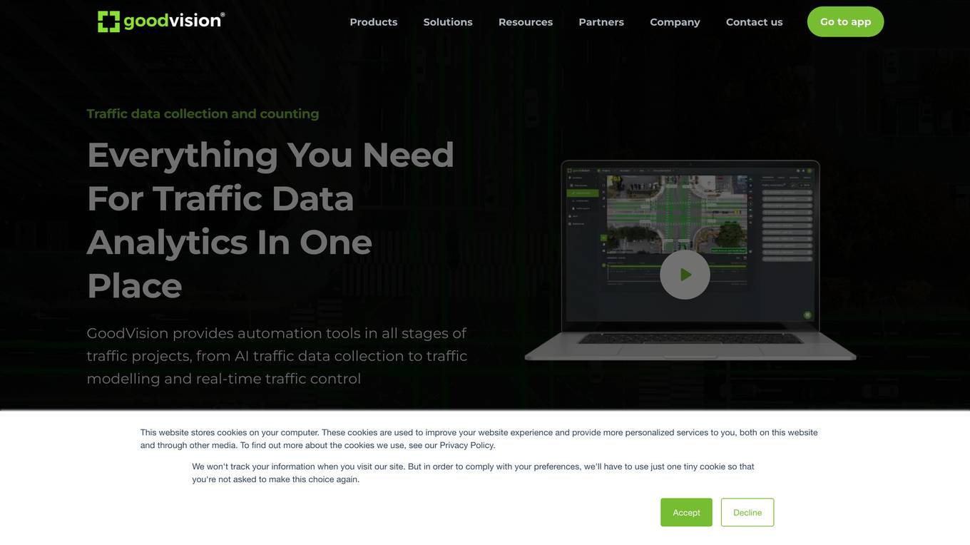
GoodVision
GoodVision is a smart city traffic analysis tool designed for traffic modellers and surveyors. The application utilizes AI and big data analytics to provide real-time traffic monitoring, tolling, traffic flow analysis, violation detection, parking occupancy tracking, and traffic data collection from cameras and drones. GoodVision offers automation tools for traffic projects, from data collection to traffic modeling and control, aiming to improve traffic management and urban planning in cities.
FlyPix
FlyPix is an AI-enabled geospatial solutions platform that leverages advanced AI technology to transform object detection, localization, tracking, and monitoring in the field of geospatial technology. The platform offers a wide range of capabilities, including AI-driven object analysis, change and anomaly detection, dynamic tracking, and custom use cases tailored to meet unique industry needs. FlyPix aims to provide unparalleled precision and efficiency in operations by converting complex imagery into actionable, geo-referenced insights.
Pointly
Pointly is an intelligent, cloud-based B2B software solution that enables efficient automatic and advanced manual classification in 3D point clouds. It offers innovative AI techniques for fast and precise data classification and vectorization, transforming point cloud analysis into an enjoyable and efficient workflow. Pointly provides standard and custom classifiers, tools for classification and vectorization, API and on-premise classification options, collaboration features, secure cloud processing, and scalability for handling large-scale point cloud data.
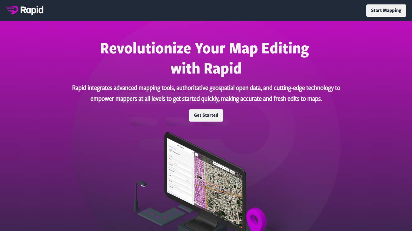
Rapid Editor
Rapid Editor is an advanced mapping tool that revolutionizes map editing by integrating cutting-edge technology and authoritative geospatial open data. It empowers OpenStreetMap mappers of all levels to make accurate and fresh edits quickly. The tool saves effort by utilizing artificial intelligence to identify map features and analyze satellite imagery, providing a high-level overview of unmapped areas globally. Rapid Editor's intuitive interface makes mapping clear and simple, facilitating mapping projects for humanitarian and community groups.
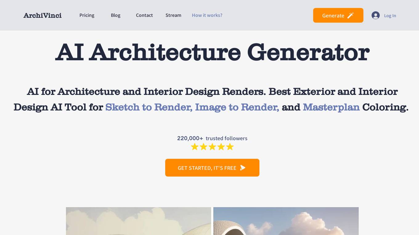
ArchiVinci
ArchiVinci is an innovative suite of AI-driven design tools encompassing the Sketch to Architectural Render AI Tool, Exterior Design AI Tool, Interior Design AI Tool, and Landscape Design AI Tool. It empowers users to effortlessly transform sketches into detailed architectural designs and enhance various aspects of design, from exteriors to interiors and landscapes.
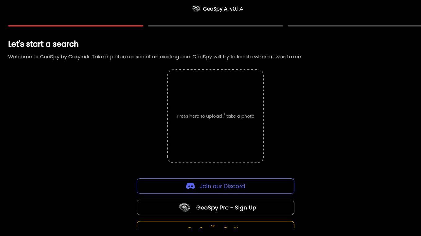
GeoSpy.ai
GeoSpy.ai is a web-based geospatial intelligence platform that provides users with access to a variety of geospatial data and tools. The platform allows users to create and share maps, analyze data, and collaborate with others. GeoSpy.ai is used by a variety of professionals, including law enforcement, intelligence analysts, and environmental scientists.

ARCHITEChTURES
ARCHITEChTURES is a generative AI-powered building design platform that helps architects and real estate developers design optimal residential developments in minutes. It offers real-time AI architecture generation, feasibility analysis, rapid iterations, and accurate insights. The platform allows users to input design criteria, optimize design development with AI, and generate BIM solutions for download. ARCHITEChTURES facilitates a collaborative design process with AI, enabling users to focus on decision-making and achieve architectural value.
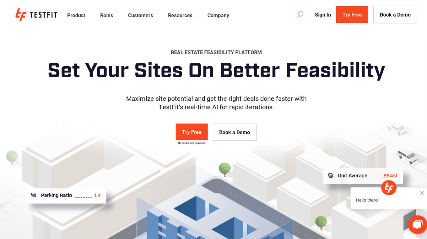
TestFit
TestFit is a real estate feasibility platform that uses AI to help developers, architects, contractors, and brokers evaluate deals and make better decisions. It provides real-time insights into design, cost, and constructability, and integrates with a variety of other software tools. TestFit can help users save time and money, and make more informed decisions about their real estate projects.
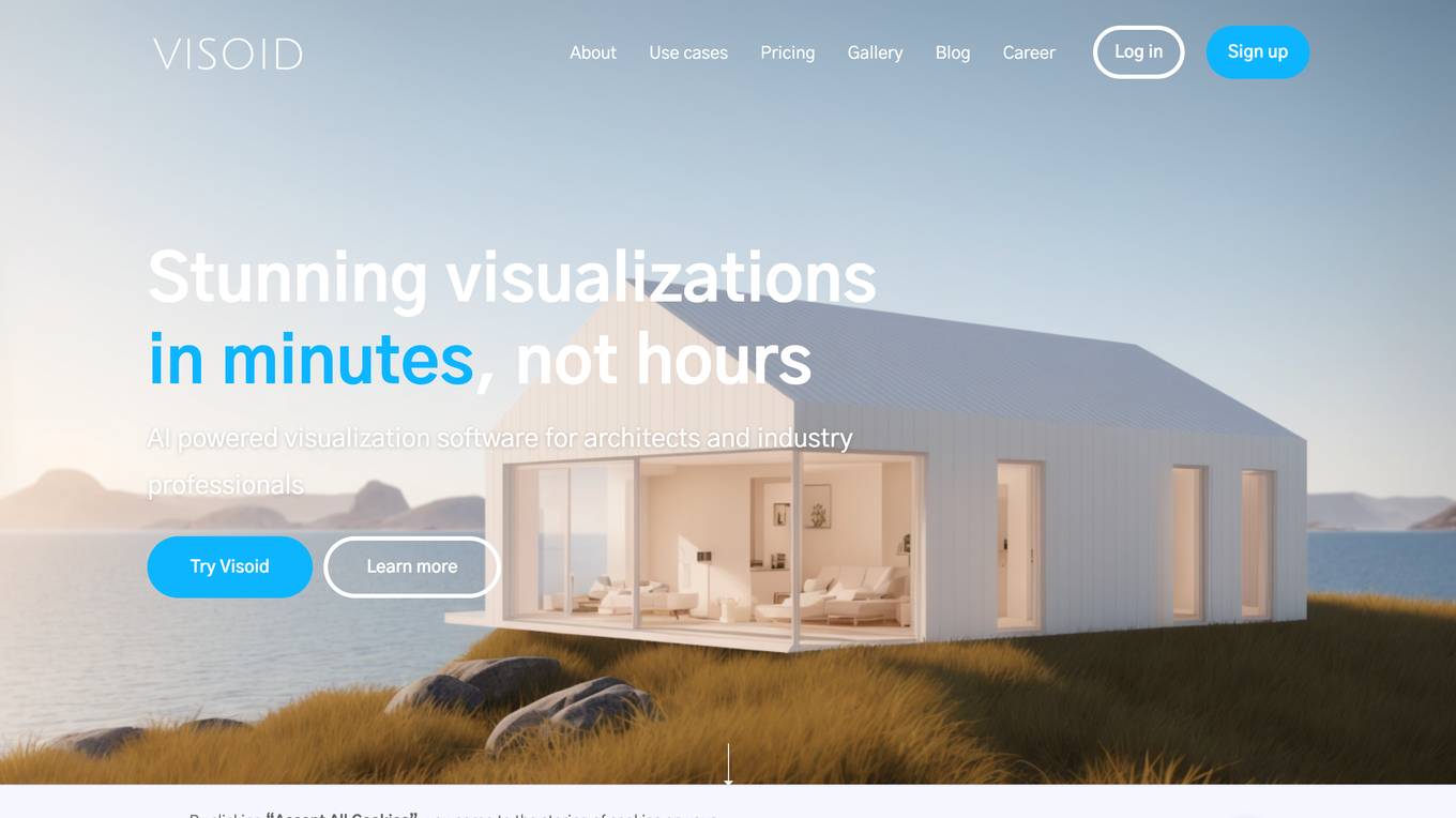
Visoid
Visoid is an AI-powered architectural visualization software designed for architects and industry professionals to create stunning visualizations in minutes, streamlining the visualization workflow by replacing complex traditional methods with a single tool. It allows users to iterate on images, experiment with different materials, visualize projects in different lighting or seasons, and communicate concepts effectively. Visoid generates high-quality renderings based on simple volumetric models, offering control over every aspect of the scene. The tool cuts visualization time by up to 90%, improves communication, and is easy to use without prior experience.
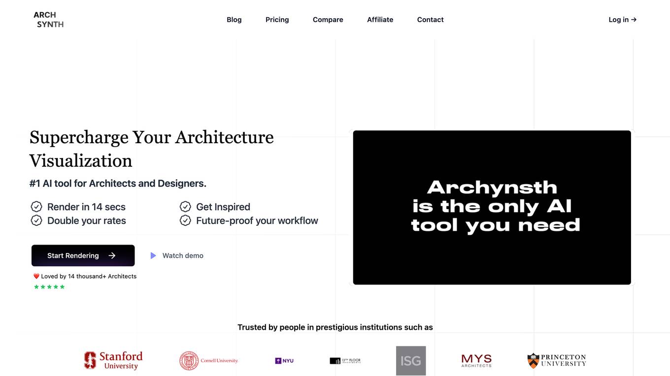
Archsynth
Archsynth is an AI-powered tool that helps architects and designers convert their sketches into realistic renders in seconds. It uses cutting-edge technology to enhance efficiency and image quality, allowing users to save time and money. With Archsynth, users can transform their ideas into stunning visuals effortlessly, explore multiple variations, and fine-tune their style with prebuilt templates. Trusted by over 14,000 architects, Archsynth is the #1 AI tool for architecture visualization.
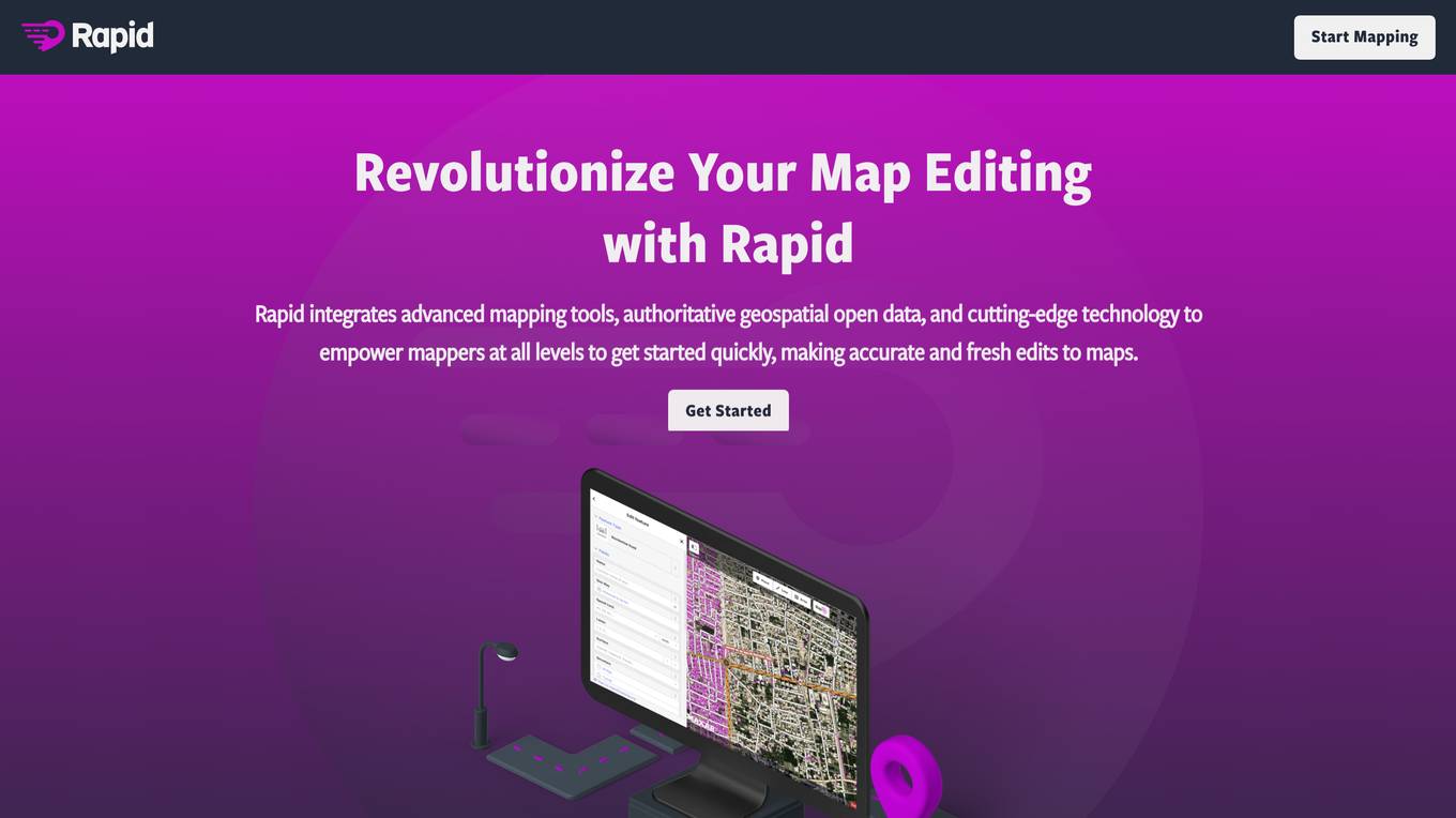
Rapid Editor
Rapid Editor is an advanced mapping tool that revolutionizes map editing by integrating cutting-edge technology and authoritative geospatial open data. It empowers OpenStreetMap mappers of all levels to quickly make accurate and fresh edits to maps. The tool saves users effort by tapping into open data and AI-predicted features, providing a high-level overview of unmapped areas globally. Rapid Editor's intuitive user interface makes mapping clear and simple, facilitating mapping projects for humanitarian and community groups.
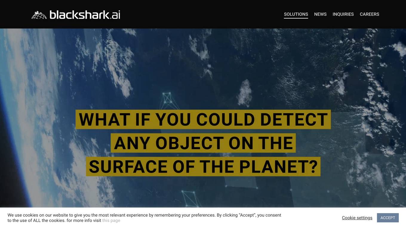
Blackshark.ai
Blackshark.ai is an AI-based platform that generates real-time accurate semantic photorealistic 3D digital twin of the entire planet. The platform extracts insights about the planet's infrastructure from satellite and aerial imagery via machine learning at a global scale. It provides a photorealistic, geo-typical, or asset-specific digital twin that can be used for visualization, simulation, mapping, mixed reality environments, and other enterprise solutions. The platform offers features such as globe data input sources, no-code data labeling, geointelligence at scale, 3D semantic map, and synthetic environments.
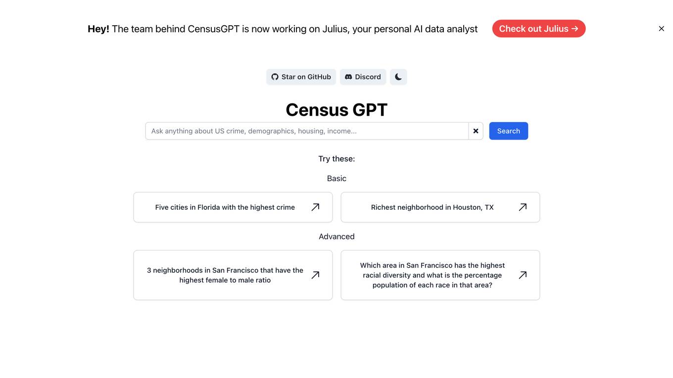
Census GPT
Census GPT is an AI tool that provides data analysis services based on census information in the USA. It offers insights on crime rates, demographics, income levels, education levels, and population statistics. Users can ask specific questions related to these categories and receive detailed answers generated by the AI model.
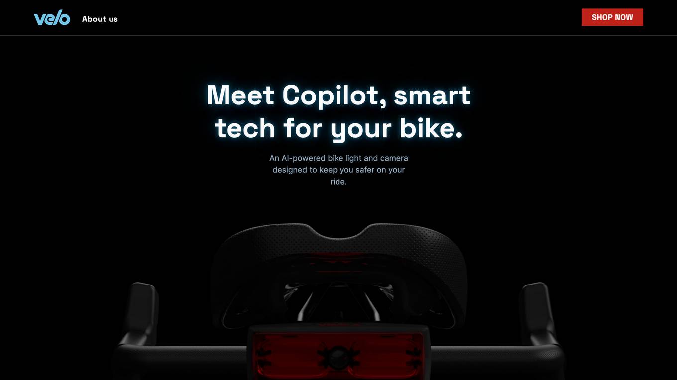
Copilot
Copilot is an AI-powered bike light and camera designed to enhance safety for cyclists. It constantly monitors the road behind the cyclist using artificial intelligence to detect vehicles approaching or overtaking. The device provides audible and visual alerts to the cyclist, helping prevent crashes and improve situational awareness. Copilot aims to make cycling safer by leveraging technology to create a more secure environment for riders.
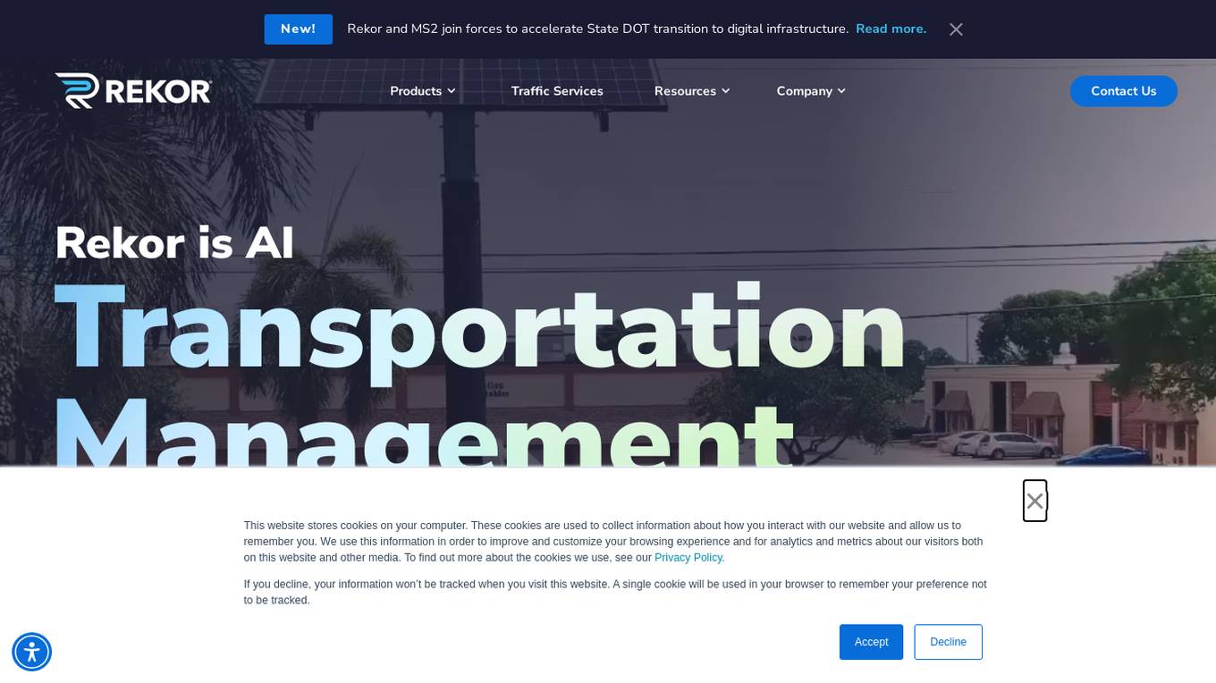
Rekor
Rekor is an AI-powered platform that delivers revolutionary roadway intelligence by collecting, connecting, and organizing mobility data. It offers a range of software platforms, hardware systems, and applications for urban mobility, transportation management, and public safety. Rekor's technology utilizes computer vision, edge processing, and predictive algorithms to transform data into actionable intelligence, benefiting communities and businesses on a daily basis. With a focus on security standards and data governance, Rekor provides comprehensive traffic and vehicle analytics, license plate recognition, and compliance automation solutions.

Young Urban Project
Young Urban Project is an AI-powered online learning platform that offers practical upskilling courses for individuals looking to advance their careers in marketing and product management. The platform provides expert-led live cohort programs, on-demand specialization courses, and workshops to help learners acquire in-demand skills from industry experts. With a focus on practical learning and accountability, Young Urban Project aims to deliver hands-on assignments and measurable outcomes to ensure industry readiness. The platform also offers AI-powered courses such as SEO Mastery, Facebook & Instagram Ads, and Direct-Response Copywriting with AI, catering to a wide range of learners. With a diverse team of mentors and a user-friendly interface, Young Urban Project provides a comprehensive learning experience for professionals seeking career growth.
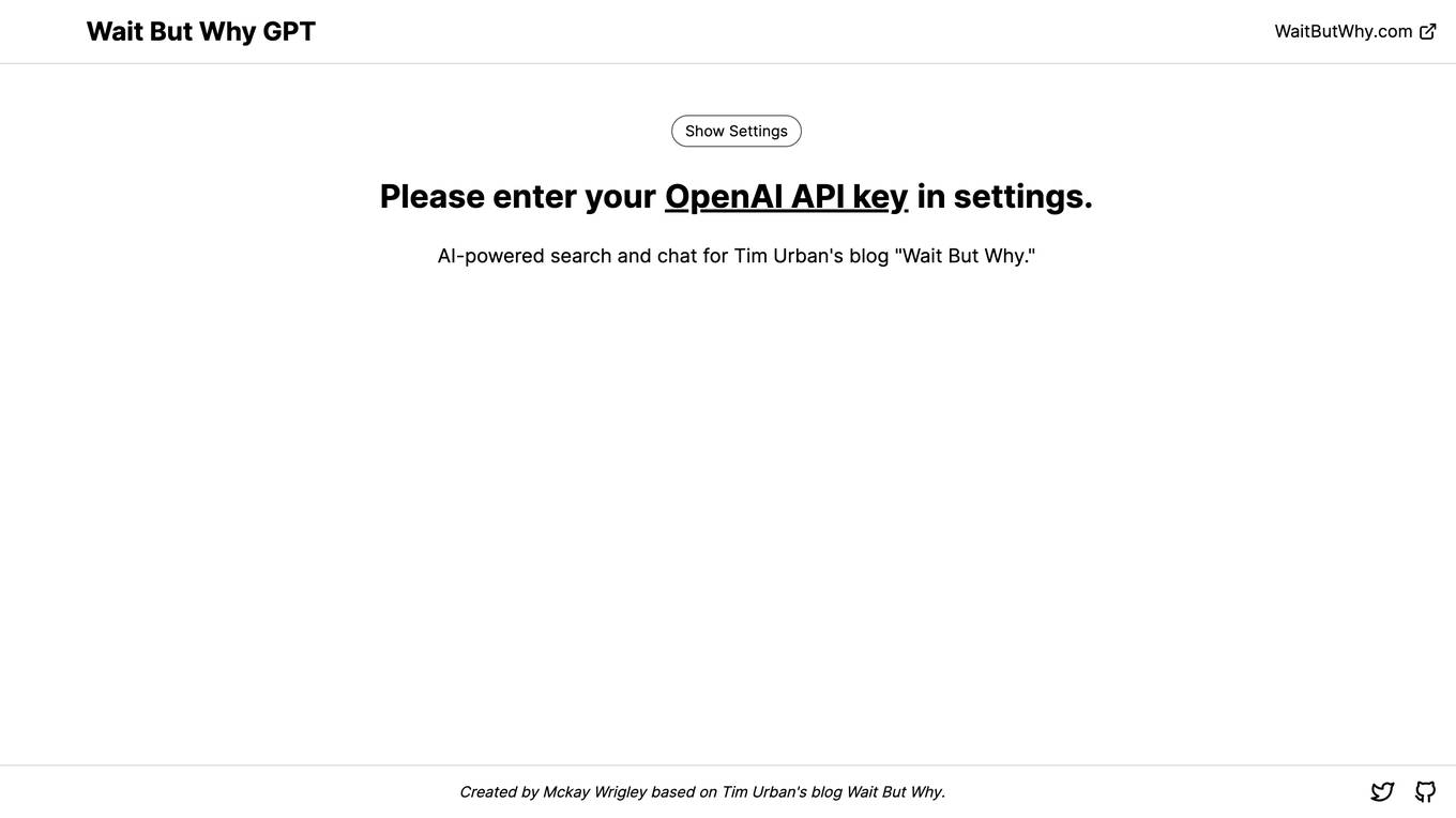
Wait But Why GPT
Wait But Why GPT is an AI-powered search and chat tool designed for Tim Urban's blog 'Wait But Why.' It utilizes OpenAI API to provide advanced search capabilities and chat functionalities for users to interact with the content on the blog more efficiently. The tool is created by Mckay Wrigley and is based on the popular blog 'Wait But Why' by Tim Urban.
20 - Open Source Tools
awesome-mobile-robotics
The 'awesome-mobile-robotics' repository is a curated list of important content related to Mobile Robotics and AI. It includes resources such as courses, books, datasets, software and libraries, podcasts, conferences, journals, companies and jobs, laboratories and research groups, and miscellaneous resources. The repository covers a wide range of topics in the field of Mobile Robotics and AI, providing valuable information for enthusiasts, researchers, and professionals in the domain.
LLMTSCS
LLMLight is a novel framework that employs Large Language Models (LLMs) as decision-making agents for Traffic Signal Control (TSC). The framework leverages the advanced generalization capabilities of LLMs to engage in a reasoning and decision-making process akin to human intuition for effective traffic control. LLMLight has been demonstrated to be remarkably effective, generalizable, and interpretable against various transportation-based and RL-based baselines on nine real-world and synthetic datasets.
Rapid
Rapid is a web-based modern editor for OpenStreetMap. It integrates advanced mapping tools, authoritative geospatial open data, and cutting-edge technology to empower mappers at all levels to get started quickly, making accurate and fresh edits to maps. Rapid is enhanced with authoritative open data sources and AI-generated roads from the Facebook Map With AI service + buildings from Microsoft open buildings dataset to make adding and editing roads, buildings, and more quick and simple. Rapid also includes data integrity checks to ensure that new map edits are consistent and accurate.
LLM-Agents-Papers
A repository that lists papers related to Large Language Model (LLM) based agents. The repository covers various topics including survey, planning, feedback & reflection, memory mechanism, role playing, game playing, tool usage & human-agent interaction, benchmark & evaluation, environment & platform, agent framework, multi-agent system, and agent fine-tuning. It provides a comprehensive collection of research papers on LLM-based agents, exploring different aspects of AI agent architectures and applications.
Awesome-Segment-Anything
Awesome-Segment-Anything is a powerful tool for segmenting and extracting information from various types of data. It provides a user-friendly interface to easily define segmentation rules and apply them to text, images, and other data formats. The tool supports both supervised and unsupervised segmentation methods, allowing users to customize the segmentation process based on their specific needs. With its versatile functionality and intuitive design, Awesome-Segment-Anything is ideal for data analysts, researchers, content creators, and anyone looking to efficiently extract valuable insights from complex datasets.
Awesome-Embodied-Agent-with-LLMs
This repository, named Awesome-Embodied-Agent-with-LLMs, is a curated list of research related to Embodied AI or agents with Large Language Models. It includes various papers, surveys, and projects focusing on topics such as self-evolving agents, advanced agent applications, LLMs with RL or world models, planning and manipulation, multi-agent learning and coordination, vision and language navigation, detection, 3D grounding, interactive embodied learning, rearrangement, benchmarks, simulators, and more. The repository provides a comprehensive collection of resources for individuals interested in exploring the intersection of embodied agents and large language models.
carla
CARLA is an open-source simulator for autonomous driving research. It provides open-source code, protocols, and digital assets (urban layouts, buildings, vehicles) for developing, training, and validating autonomous driving systems. CARLA supports flexible specification of sensor suites and environmental conditions.
ai4math-papers
The 'ai4math-papers' repository contains a collection of research papers related to AI applications in mathematics, including automated theorem proving, synthetic theorem generation, autoformalization, proof refactoring, premise selection, benchmarks, human-in-the-loop interactions, and constructing examples/counterexamples. The papers cover various topics such as neural theorem proving, reinforcement learning for theorem proving, generative language modeling, formal mathematics statement curriculum learning, and more. The repository serves as a valuable resource for researchers and practitioners interested in the intersection of AI and mathematics.
noScribe
noScribe is an AI-based software designed for automated audio transcription, specifically tailored for transcribing interviews for qualitative social research or journalistic purposes. It is a free and open-source tool that runs locally on the user's computer, ensuring data privacy. The software can differentiate between speakers and supports transcription in 99 languages. It includes a user-friendly editor for reviewing and correcting transcripts. Developed by Kai Dröge, a PhD in sociology with a background in computer science, noScribe aims to streamline the transcription process and enhance the efficiency of qualitative analysis.
aideml
AIDE is a machine learning code generation agent that can generate solutions for machine learning tasks from natural language descriptions. It has the following features: 1. **Instruct with Natural Language**: Describe your problem or additional requirements and expert insights, all in natural language. 2. **Deliver Solution in Source Code**: AIDE will generate Python scripts for the **tested** machine learning pipeline. Enjoy full transparency, reproducibility, and the freedom to further improve the source code! 3. **Iterative Optimization**: AIDE iteratively runs, debugs, evaluates, and improves the ML code, all by itself. 4. **Visualization**: We also provide tools to visualize the solution tree produced by AIDE for a better understanding of its experimentation process. This gives you insights not only about what works but also what doesn't. AIDE has been benchmarked on over 60 Kaggle data science competitions and has demonstrated impressive performance, surpassing 50% of Kaggle participants on average. It is particularly well-suited for tasks that require complex data preprocessing, feature engineering, and model selection.
MegaDetector
MegaDetector is an AI model that identifies animals, people, and vehicles in camera trap images (which also makes it useful for eliminating blank images). This model is trained on several million images from a variety of ecosystems. MegaDetector is just one of many tools that aims to make conservation biologists more efficient with AI. If you want to learn about other ways to use AI to accelerate camera trap workflows, check out our of the field, affectionately titled "Everything I know about machine learning and camera traps".
awesome-transformer-nlp
This repository contains a hand-curated list of great machine (deep) learning resources for Natural Language Processing (NLP) with a focus on Generative Pre-trained Transformer (GPT), Bidirectional Encoder Representations from Transformers (BERT), attention mechanism, Transformer architectures/networks, Chatbot, and transfer learning in NLP.

DriveLM
DriveLM is a multimodal AI model that enables autonomous driving by combining computer vision and natural language processing. It is designed to understand and respond to complex driving scenarios using visual and textual information. DriveLM can perform various tasks related to driving, such as object detection, lane keeping, and decision-making. It is trained on a massive dataset of images and text, which allows it to learn the relationships between visual cues and driving actions. DriveLM is a powerful tool that can help to improve the safety and efficiency of autonomous vehicles.
KG-LLM-Papers
KG-LLM-Papers is a repository that collects papers integrating knowledge graphs (KGs) and large language models (LLMs). It serves as a comprehensive resource for research on the role of KGs in the era of LLMs, covering surveys, methods, and resources related to this integration.
MATLAB-Simulink-Challenge-Project-Hub
MATLAB-Simulink-Challenge-Project-Hub is a repository aimed at contributing to the progress of engineering and science by providing challenge projects with real industry relevance and societal impact. The repository offers a wide range of projects covering various technology trends such as Artificial Intelligence, Autonomous Vehicles, Big Data, Computer Vision, and Sustainability. Participants can gain practical skills with MATLAB and Simulink while making a significant contribution to science and engineering. The projects are designed to enhance expertise in areas like Sustainability and Renewable Energy, Control, Modeling and Simulation, Machine Learning, and Robotics. By participating in these projects, individuals can receive official recognition for their problem-solving skills from technology leaders at MathWorks and earn rewards upon project completion.
20 - OpenAI Gpts

Urban Innovator
Futuristic City Planner specializing in sustainable, innovative urban designs.
Urban Planning & Development Advisor
Urban Planning & Development Advisor discussing sustainable development and community building.
Urban Analyzer: LP Report Q4 2023
Urban Analyzer with consolidated files containing just UR information.
Cycling Route Planner
Generates custom cycling routes based on user preferences and fitness levels.

PlanGPT
Formal, professional urban planning expert, skilled in document analysis and feedback interpretation.
Planificación Sostenible
Experto en urbanismo sostenible de ciudades. Entrenado por Pau Seguí
Lambeth Planning Policy Bot
I search Lambeth's planning site to provide links to policies and documents.

OpenStreetMap Query
Helps get map data from Open Street Map by generating Overpass Turbo queries. Ask me for mapping features like cafes, rivers or highways