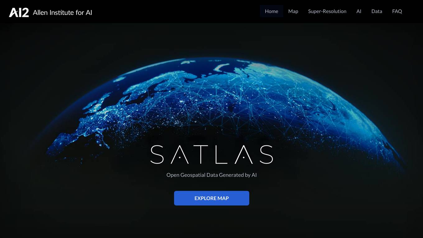
Satlas
Explore Map See examples of how our planet is changing
Monthly visits:3268
Description:
Satlas is a web application that uses artificial intelligence (AI) to generate geospatial data. This data can be used to track changes in the environment, such as deforestation, the growth of wind farms, and the development of new infrastructure. Satlas is a valuable tool for researchers, policymakers, and anyone else who is interested in understanding how the planet is changing.
For Tasks:
track environmental changes
identify areas at risk
make informed land use decisions
monitor deforestation
track wind farm development
For Jobs:
Features
- Generates geospatial data using AI
- Tracks changes in the environment
- Provides data on deforestation, wind farms, and infrastructure development
- Freely and publicly available
- Can be downloaded for offline analysis
Advantages
- Provides detailed information on environmental changes
- Can be used to track progress on environmental goals
- Helps to identify areas that are at risk
- Can be used to make informed decisions about land use
- Freely and publicly available
Disadvantages
- Can be complex to use
- Requires a high level of technical expertise
- Data can be biased
Frequently Asked Questions
-
Q:What is Satlas?
A:Satlas is a web application that uses artificial intelligence (AI) to generate geospatial data. -
Q:What kind of data does Satlas generate?
A:Satlas generates data on deforestation, wind farms, and infrastructure development. -
Q:How can I use Satlas?
A:Satlas can be used to track changes in the environment, identify areas that are at risk, and make informed decisions about land use. -
Q:Is Satlas free to use?
A:Yes, Satlas is free and publicly available.
Alternative AI tools for Satlas
Similar sites


For similar tasks
For similar jobs


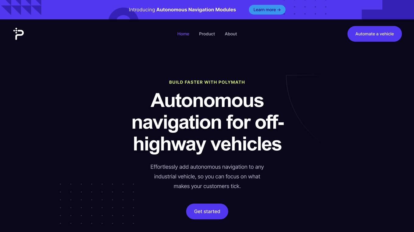
Polymath Robotics
Effortlessly add autonomous navigation to any industrial vehicle, so you can focus on what makes your customers tick.
site
: 28.1k