Best AI tools for< Environmental Scientist >
Infographic
11 - AI tool Sites
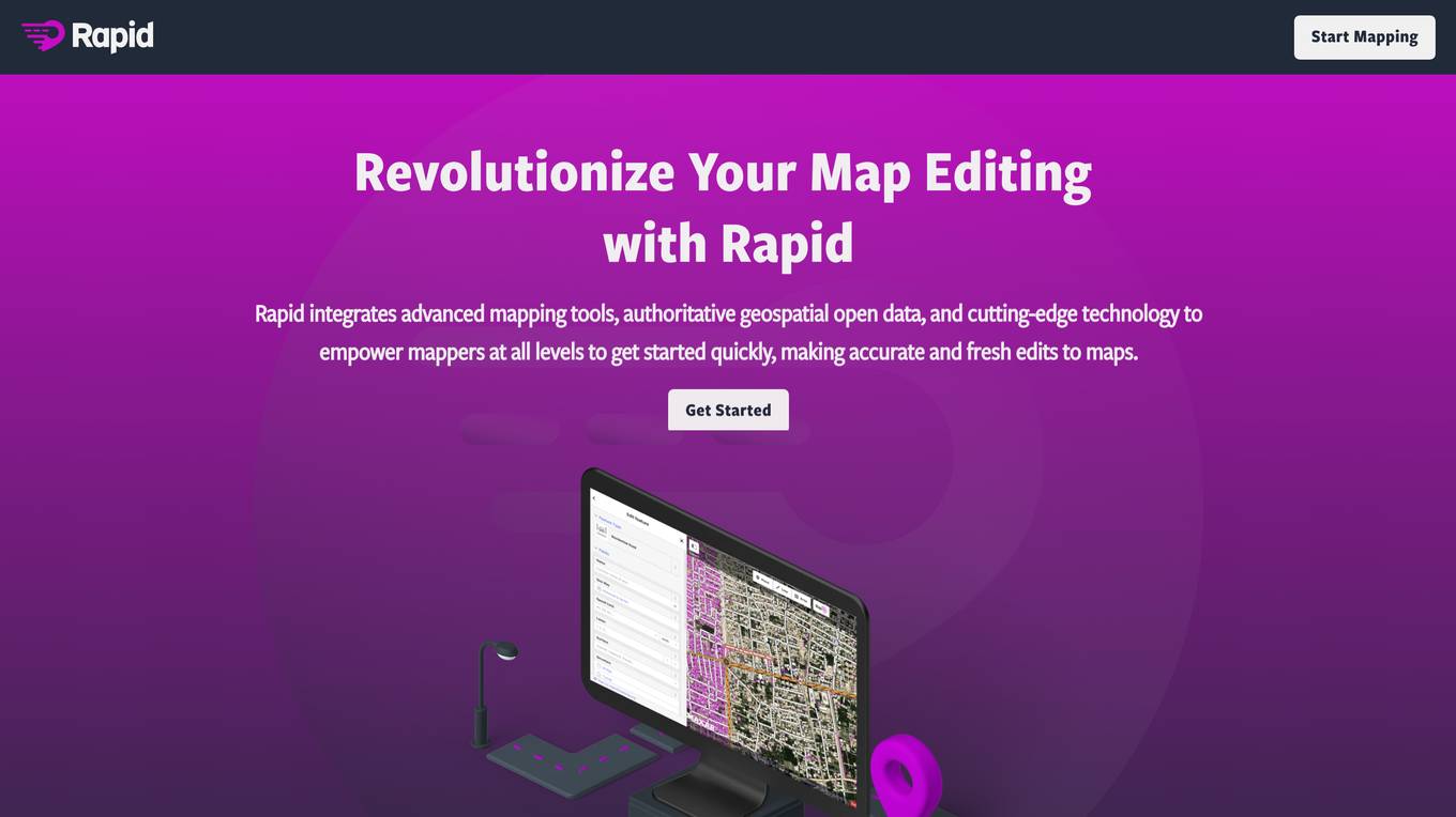
Rapid Editor
Rapid Editor is an advanced mapping tool that revolutionizes map editing by integrating cutting-edge technology and authoritative geospatial open data. It empowers OpenStreetMap mappers of all levels to quickly make accurate and fresh edits to maps. The tool saves effort by tapping into open data and AI-predicted features to draw map geometry, provides AI-analyzed satellite imagery for a high-level overview of unmapped areas, and displays open map data and machine learning detections in an intuitive user interface. Rapid Editor is designed to help map the world efficiently and is supported by a strong community of humanitarian and community groups.
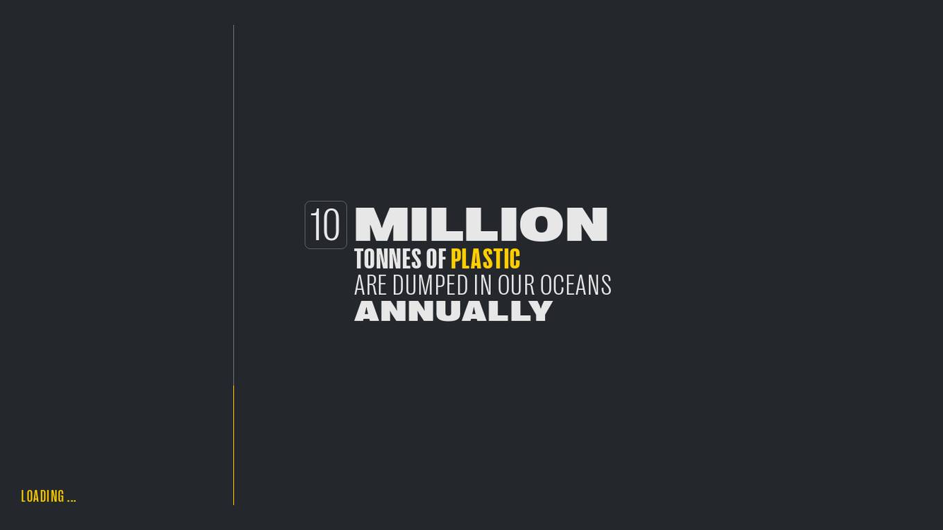
Global Plastic Watch
Global Plastic Watch (GPW) is a digital platform that maps the world's plastic pollution in near real-time using a unique combination of satellite imagery and artificial intelligence. It provides a comprehensive view of the global plastic waste crisis, including the location and size of plastic waste sites, the types of plastic waste, and the impact of plastic pollution on the environment and human health.
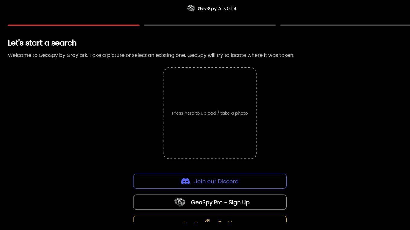
GeoSpy.ai
GeoSpy.ai is a web-based geospatial intelligence platform that provides users with access to a variety of geospatial data and tools. The platform allows users to create and share maps, analyze data, and collaborate with others. GeoSpy.ai is used by a variety of professionals, including law enforcement, intelligence analysts, and environmental scientists.
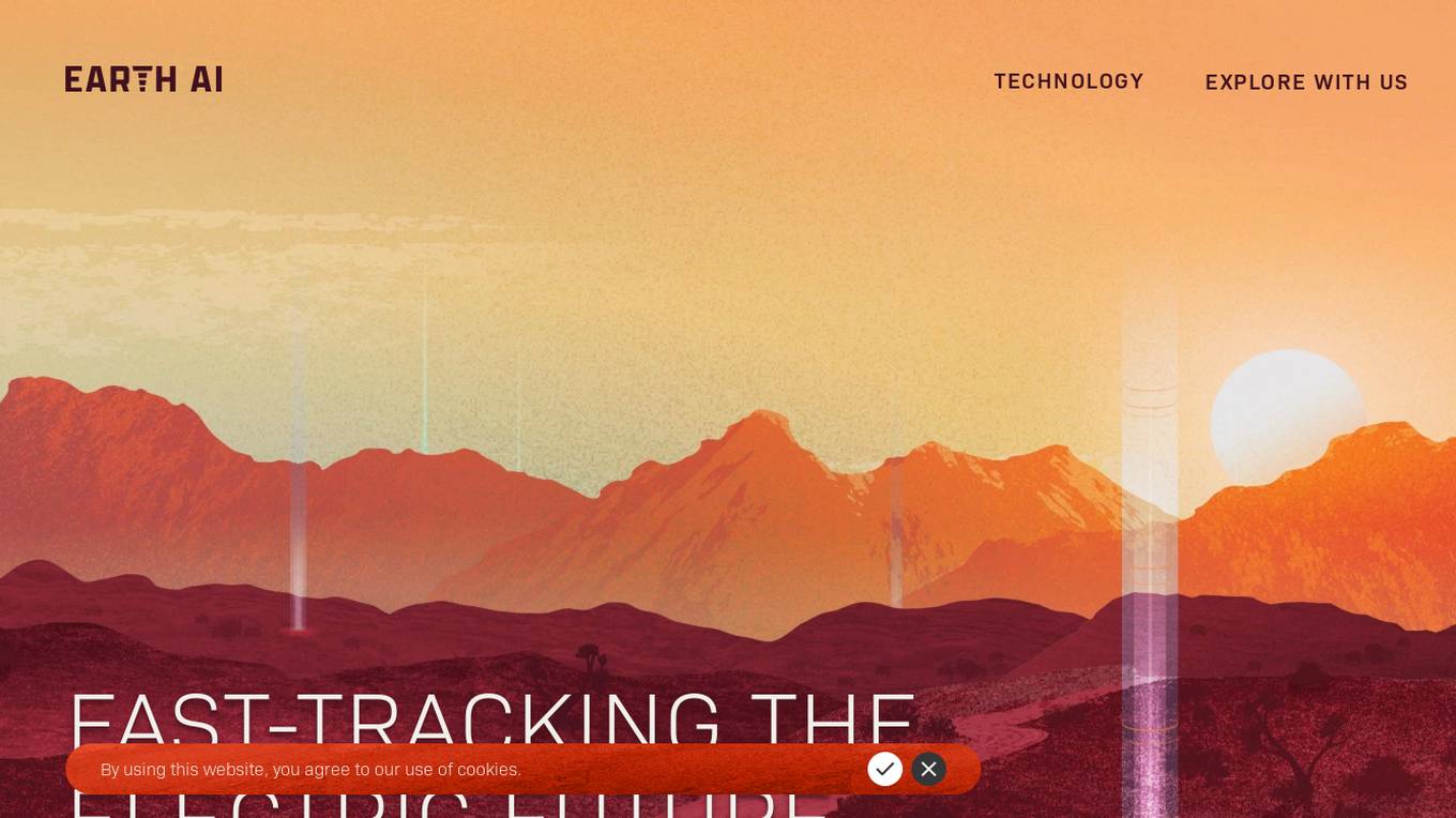
Earth AI
Earth AI is a high-performance explorer for clean energy minerals, utilizing artificial intelligence to discover untapped critical metal deposits at half the cost and in a fraction of the time. The company works with mineral resource companies to improve their odds of success while keeping costs low, offering accurate AI-driven prospect detection, modular hardware, and streamlined operations. Earth AI's revenue model is independent of service profits, and their process is four times faster than traditional methods. The company partners with explorers and development companies to bring discovered deposits into production.
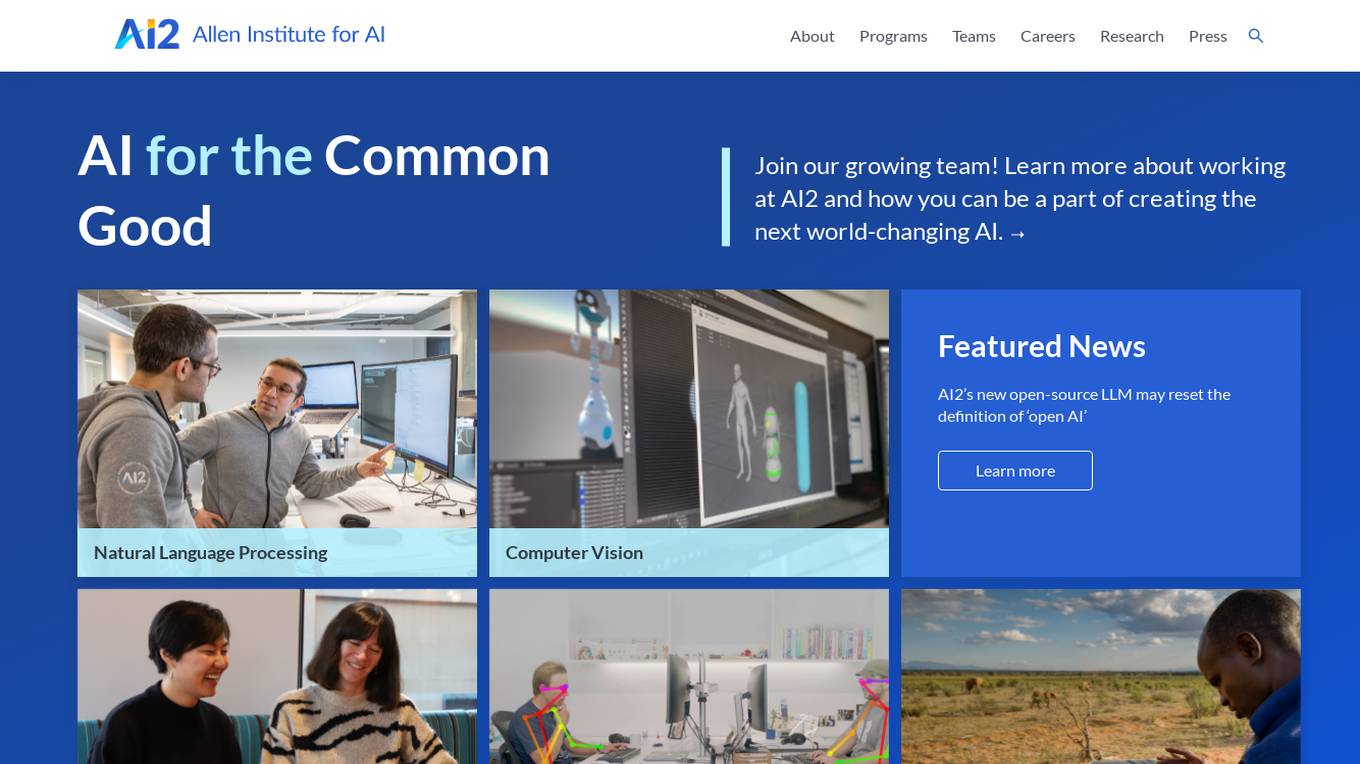
Allen Institute for AI (AI2)
The Allen Institute for AI (AI2) is a leading research institute dedicated to advancing artificial intelligence technologies for the common good. They focus on Natural Language Processing, Computer Vision, and AI applications for the environment. AI2 collaborates with diverse teams to tackle challenging problems in AI research, aiming to create world-changing AI solutions. The institute promotes diversity, equity, and inclusion in the research community, and offers opportunities for individuals to contribute to impactful AI projects.
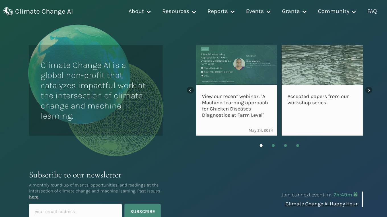
Climate Change AI
Climate Change AI is a global non-profit organization that focuses on catalyzing impactful work at the intersection of climate change and machine learning. They provide resources, reports, events, and grants to support the use of machine learning in addressing climate change challenges.

Minimap.ai
Minimap.ai is an innovative AI-powered tool designed to provide users with detailed and accurate maps for various purposes. The tool utilizes advanced artificial intelligence algorithms to analyze and process geographical data, enabling users to generate customized maps quickly and efficiently. With Minimap.ai, users can create maps for navigation, urban planning, disaster management, and other applications with ease. The tool offers a user-friendly interface and a wide range of features to cater to different mapping needs.
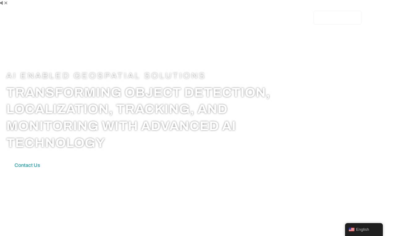
FlyPix
FlyPix is an AI-enabled geospatial solutions platform that leverages advanced AI technology to transform object detection, localization, tracking, and monitoring in the field of geospatial technology. The platform offers a wide range of capabilities, including AI-driven object analysis, change and anomaly detection, dynamic tracking, and custom use cases tailored to meet unique industry needs. FlyPix aims to provide unparalleled precision and efficiency in operations by converting complex imagery into actionable, geo-referenced insights.
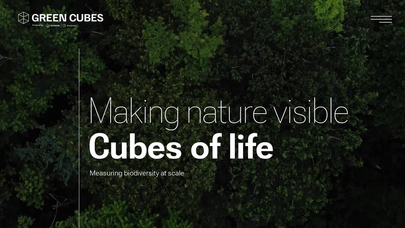
Green Cubes
Green Cubes is an AI application that provides precise volume, complexity, and biodiversity indication of terrestrial areas at scale for Digital Reality and Sponsorship. It shapes the digital twin of nature, offering transparency and trust through Measure, Report, and Verification (MVR) using data collection, AI computation, and 3D visualization. Green Cubes enables corporations to sponsor nature impact with confidence and transparency, contributing to the preservation of biodiversity.
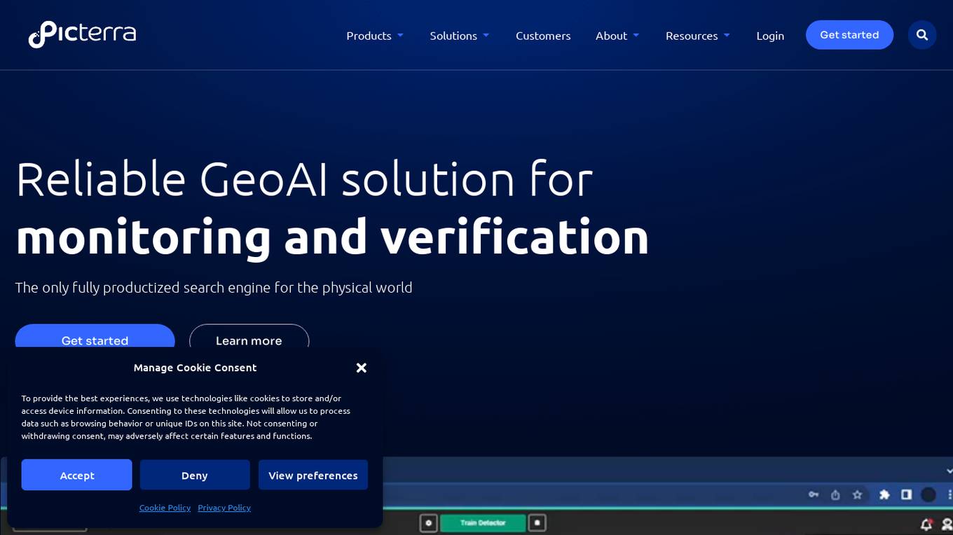
Picterra
Picterra is a geospatial AI platform that offers reliable solutions for sustainability, compliance, monitoring, and verification. It provides an all-in-one plot monitoring system, professional services, and interactive tours. Users can build custom AI models to detect objects, changes, or patterns using various geospatial imagery data. Picterra aims to revolutionize geospatial analysis with its category-leading AI technology, enabling users to solve challenges swiftly, collaborate more effectively, and scale further.
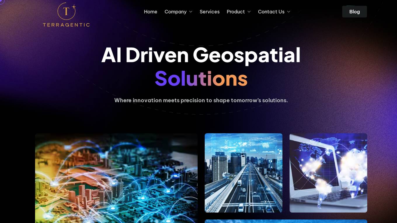
Terragentic
Terragentic is an AI-driven geospatial technology company that empowers sustainable resource management and transformative decision-making. They provide cutting-edge geospatial services, precise mapping, advanced data analytics, and innovative applications of artificial intelligence to solve complex challenges across diverse sectors. Terragentic is committed to environmental stewardship, ethical business practices, and delivering high-quality, AI-enhanced, accurate, and actionable geospatial intelligence to empower industries.
8 - Open Source Tools
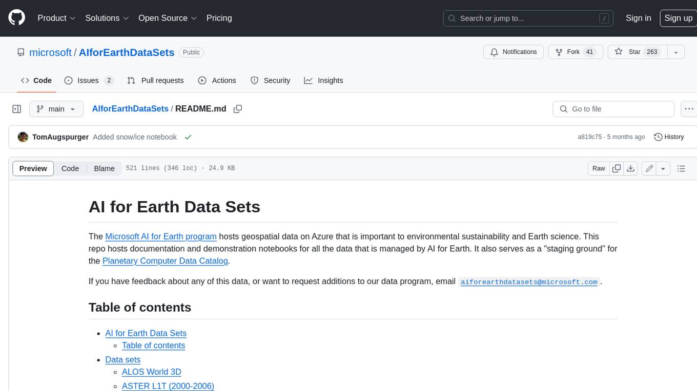
AIforEarthDataSets
The Microsoft AI for Earth program hosts geospatial data on Azure that is important to environmental sustainability and Earth science. This repo hosts documentation and demonstration notebooks for all the data that is managed by AI for Earth. It also serves as a "staging ground" for the Planetary Computer Data Catalog.
AirCasting
AirCasting is a platform for gathering, visualizing, and sharing environmental data. It aims to provide a central hub for environmental data, making it easier for people to access and use this information to make informed decisions about their environment.
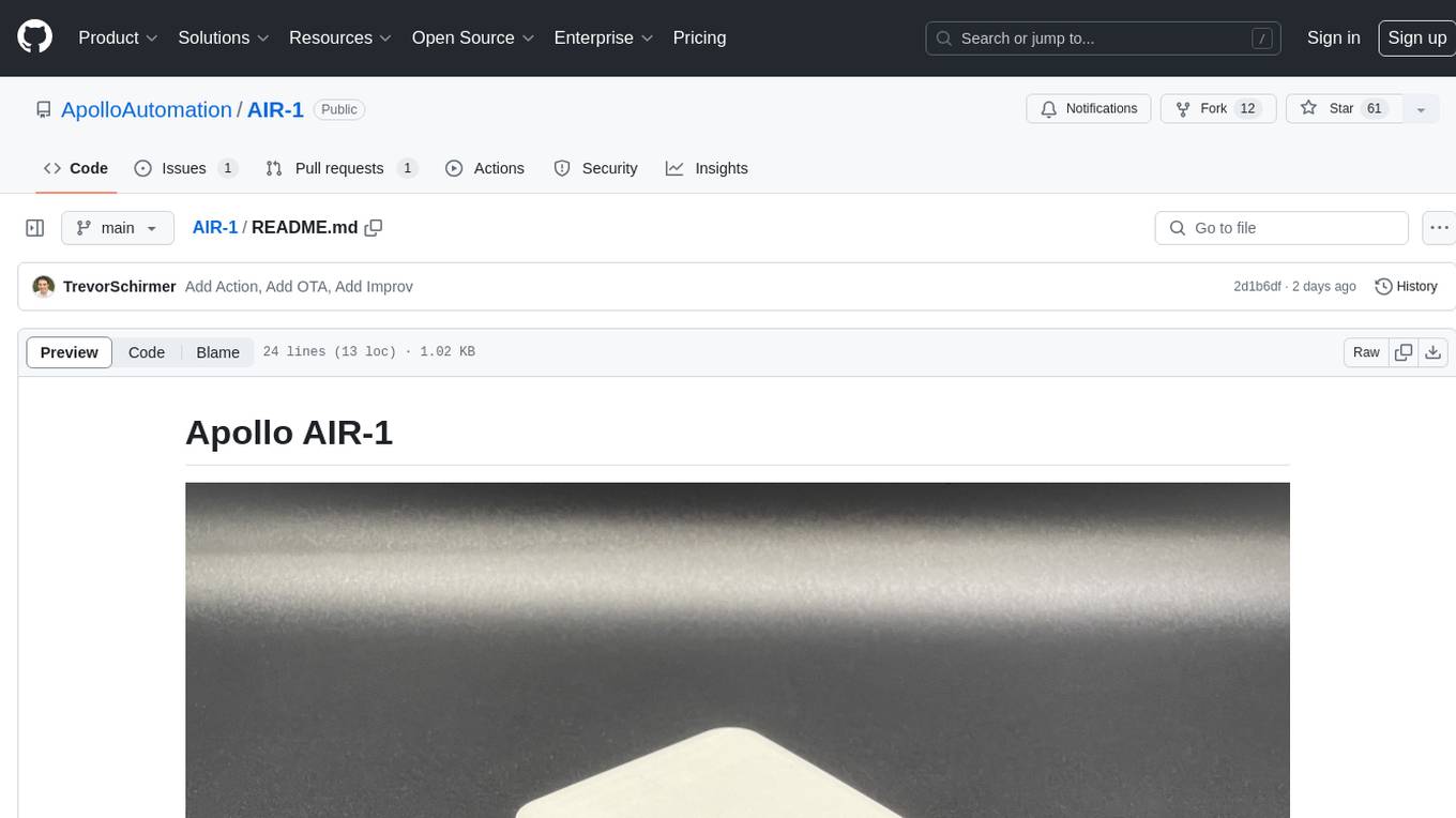
AIR-1
AIR-1 is a compact sensor device designed for monitoring various environmental parameters such as gas levels, particulate matter, temperature, and humidity. It features multiple sensors for detecting gases like CO, alcohol, H2, NO2, NH3, CO2, as well as particulate matter, VOCs, NOx, and more. The device is designed with a focus on accuracy and efficient heat management in a small form factor, making it suitable for indoor air quality monitoring and environmental sensing applications.
AireLibre
AireLibre is a community response to the need for freely, collaboratively, and decentralized air quality information. It includes projects like Red Descentralizada de Aire Libre (ReDAL), Linka, Linka Firmware, LinkaBot, AQmap, and Android/iOS apps. Users can join the network with a sensor communicating with Linka. Materials and tools are needed to build a sensor. The initiative is decentralized and open for community collaboration. Users can extend or add projects to AireLibre. The license allows for creating personal networks. AireLibre is not for professional/industrial/scientific/military use, and the sensors are not calibrated in Switzerland.
ForAINet
This repository contains the official code for the paper 'Automated forest inventory: analysis of high-density airborne LiDAR point clouds with 3D deep learning'. It provides tools for point cloud segmentation experiments based on different settings, tree parameters extraction, handling large point clouds through tiling, predicting, and merging workflows. Additionally, it includes commands for training, testing, and evaluating the models, along with the necessary datasets and pretrained models.
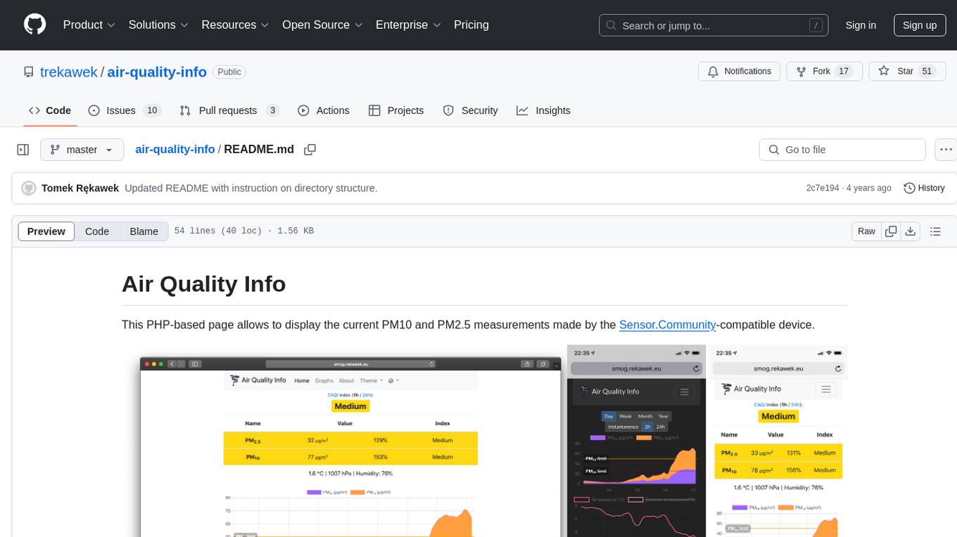
air-quality-info
Air Quality Info is a PHP-based page that displays current PM10 and PM2.5 measurements from Sensor.Community-compatible devices. It features a clean interface, stores records in MySQL, renders graphs with ChartJS, supports multiple devices, offers locale support, and functions as a Progressive Web App. The project setup involves creating directory structures, setting permissions, and starting Docker containers. The admin dashboard is accessible at http://aqi.eco.localhost:8080/, while the Air Quality Info pages use a specific naming schema. The project is supported by Nettigo Air Monitor, Sensor.Community, and a forum thread in Polish.
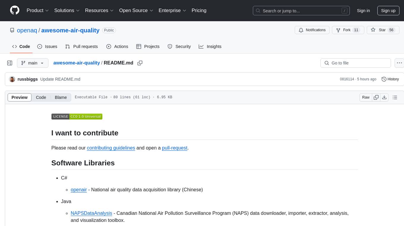
awesome-air-quality
The 'awesome-air-quality' repository is a curated list of software libraries, tools, and resources related to air quality data acquisition, analysis, and visualization. It includes libraries in various programming languages such as Python, Java, R, and C#, as well as hardware drivers and software for gas sensors and particulate matter sensors. The repository aims to provide a comprehensive collection of tools for working with air quality data from different sources and for different purposes.
awesome-green-ai
Awesome Green AI is a curated list of resources and tools aimed at reducing the environmental impacts of using and deploying AI. It addresses the carbon footprint of the ICT sector, emphasizing the importance of AI in reducing environmental impacts beyond GHG emissions and electricity consumption. The tools listed cover code-based tools for measuring environmental impacts, monitoring tools for power consumption, optimization tools for energy efficiency, and calculation tools for estimating environmental impacts of algorithms and models. The repository also includes leaderboards, papers, survey papers, and reports related to green AI and environmental sustainability in the AI sector.
95 - OpenAI Gpts
Biophilia Sage
I'll help you to make decisions that are imbued with Biophilia - the human tendency to be drawn towards life and life-like processes.
GaiaAI
The pressing environmental issues we face today require novel approaches and technological advancements to effectively mitigate their impacts. GaiaAI offers a range of tools and modes to promote sustainable practices and enhance environmental stewardship.
Cloud Scholar
Super astronomer identifying clouds in English and Chinese, sharing facts in Chinese.
Climate Guardian
Expert in climate policy, data analysis, roadmaps, and socio-economic impacts, providing up-to-date news and insights

CHAT Social Progress
Explore social and environmental data for 169 countries to measure social progress and go beyond GDP. Using data from the Social Progress Imperative and powered by Open AI.
One atmosphere
I help you evolve your habits and processes to preserve the habitability of the earth and much more

Professor Oak
Explore Professor Oak's garden of rare, unknown creatures from his own vast knowledge.
Earth Conscious Voice
Hi ;) Ask me for data & insights gathered from an environmentally aware global community
Coastal Lighthouse
Coastal professor at your service, explaining coastal and oceanic processes.
IR Spectra Interpreter
Analyzes IR spectra, prompts for uploads, and details findings in tables.

US Weather Explainer
I transform complex NOAA weather forecasts into easy-to-understand language, educating about weather phenomena.
Eco Advisor
Expert in sustainability and ESG practices, providing informative advice and insights.


Sadie Greenthumb
Expert in natural living, inspired by Barbara O'Neil and Cultivate Elevate.
AI Habitat Restoration Advisor
Ecological Advisor with advanced data and image analysis, creating detailed reports. This AI aims to assist in the fight against global warming.
Environmental Engineering Advisor
Advises on sustainable engineering solutions to environmental challenges.
Burning Earth
I'm Burning Earth, alarming users about environmental harm and climate change. Powered by Breebs (www.breebs.com)
Safari Master: Interactive Adventures
An immersive safari adventure game that takes players on a journey through the heart of Africa's wilderness. Explore diverse ecosystems, encounter a wide range of wildlife, and learn about conservation efforts while engaging in exciting safari challenges. Another AI Game by Dave Lalande
Aqua Explorer: Underwater Archaeology
Dive into the depths of the ocean in 'Aqua Explorer: Underwater Archaeology', a game that blends the excitement of underwater exploration with the discovery of ancient civilizations and marine life. Uncover hidden artifacts, learn about historical underwater. Another AI Game by Dave Lalande
Extreme Weather Survival Guide
Offers survival strategies and safety tips for extreme weather scenarios, including hurricanes, tornados, and heatwaves.
PósCiênciasAmbientaisBR
Especialista em dados de pós-graduação em Ciências Ambientais do Brasil.
🌱 EcoFarm Oracle 🚜
Your go-to AI for sustainable farming! Offers guidance on eco-friendly practices, crop rotation, soil health, and water conservation. 🌲💧
GeologyGPT
Expert in geology, providing detailed and accurate information from a vast resource base.

Environmental Disaster Analyst
Simulates and analyzes potential environmental disaster scenarios for preparedness.


Rock Identifier GPT
I identify various rocks from images and advise consulting a geologist for certainty.
Eco Audit
Highlights ambiguities in environmental claims, suggesting further investigation.
Fishing Hole
A fishing spot guide that suggests locations based on user's geographic input.
Geo Explorer
I'm a geography enthusiast eager to share fun and interesting facts about our world!
Arboracle
A GPT-powered oracle for the natural world, harmonizing arboriculture wisdom with AI insight to nurture and sustain ecosystems.
Wetlands
Guiding users through the world of swamps and wetlands with environmental expertise.

GPTree—Plant Trees for Free
Exactly like ChatGPT, except 100% of the revenue received from OpenAI is used for tree planting and restoration projects (through Our Forest)!
ClimatePal by Palau
I'm trained on major climate reports from the UN, World Resources Institute, and others. Ask me about climate trends, green energy, and how climate change affects us all. I make complex climate info easy to understand!
GPSea—Help the Ocean by Chatting
Exactly like ChatGPT, except 100% of the revenue received from OpenAI is used for ocean cleanup and restoration projects!

Oceanography GPT
I embody the spirit of the seas, ask me anything about the physical and biological properties and phenomena of the seas
NZ AgriTech Advisory System (NZ-AAS)
Your Bilingual Guide to Sustainable Farming in Aotearoa
EarthMap - Geography Facts, Maps and Images
Discover geographic info, explore landmarks, view detailed maps, and enjoy vivid visuals.
Botanist
Focused on groundbreaking plant biology research for agricultural, medicinal, and environmental advancements.
I Imagine - Coral Reefs Painted On Everything
Generates scenes painted with coral reefs. (Work in progress....)