Best AI tools for< Gis Specialist >
Infographic
13 - AI tool Sites

SpatialBrowser
SpatialBrowser is a web application that provides spatial browsing capabilities for users to explore and analyze spatial data. The platform allows users to visualize geographic information, perform spatial analysis, and create interactive maps. With SpatialBrowser, users can easily navigate through spatial datasets, conduct geospatial queries, and gain insights from the data. The application is designed to be user-friendly and intuitive, making it suitable for both beginners and advanced users in various industries such as urban planning, environmental management, and business analytics.
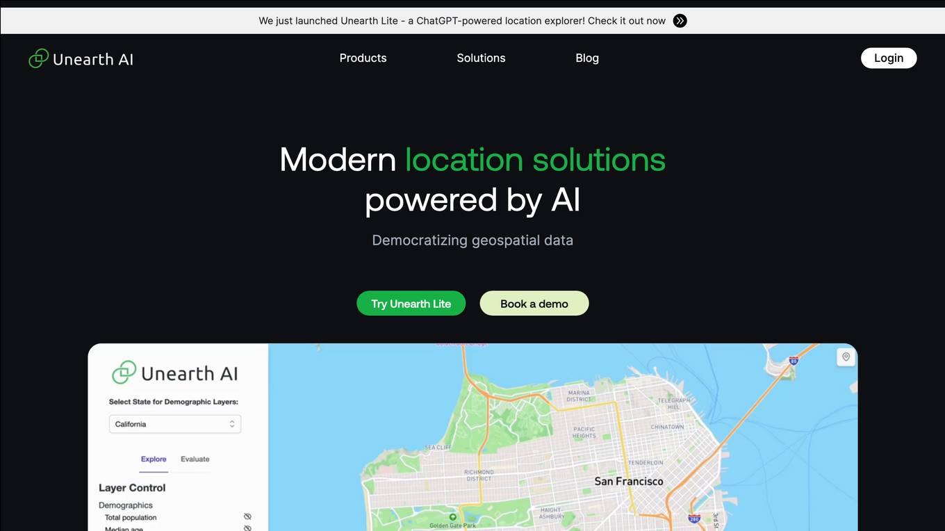
Unearth AI
Unearth AI is a platform offering geospatial data and location solutions. It provides various products like Unearth Lite, Unearth Insights, and Unearth Platform to cater to different needs. Unearth Lite is a ChatGPT-powered location explorer that offers a simple dashboard to explore locations worldwide. The platform aims to democratize geospatial data and is trusted by fast-growing businesses. With modern location solutions powered by AI, Unearth AI is revolutionizing the way businesses interact with and analyze location-based data.
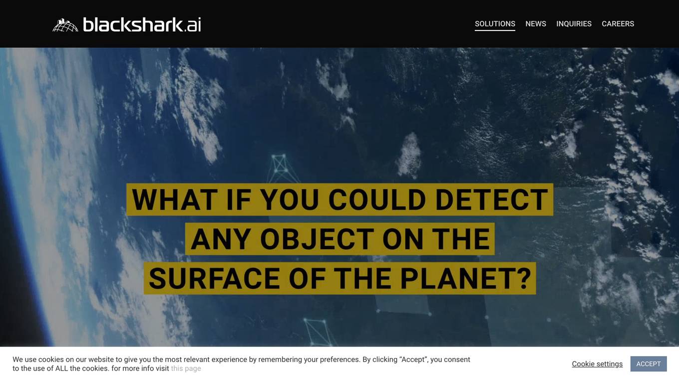
Blackshark.ai
Blackshark.ai is an AI-based platform that generates real-time accurate semantic photorealistic 3D digital twin of the entire planet. The platform extracts insights about the planet's infrastructure from satellite and aerial imagery via machine learning at a global scale. It enriches missing attributes using AI to provide a photorealistic, geo-typical, or asset-specific digital twin. The results can be used for visualization, simulation, mapping, mixed reality environments, and other enterprise solutions. The platform offers end-to-end geospatial solutions, including globe data input sources, no-code data labeling, geointelligence at scale, 3D semantic map, and synthetic environments.
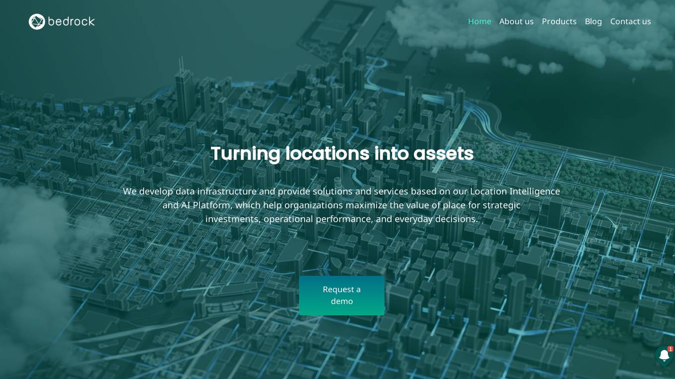
Bedrock Analytics
Bedrock Analytics is an AI-powered Location Intelligence and AI Platform that helps organizations maximize the value of place for strategic investments, operational performance, and everyday decisions. The platform offers scalable analysis and enrichment solutions embedded in web & mobile apps, with a wide range of data layers across categories such as human mobility, points of interest, and economic data. Bedrock Analytics turns locations into assets by providing the fastest, easiest, and most effective way to utilize location data for solving organizational tasks and challenges.

Pointly
Pointly is an intelligent, cloud-based B2B software solution that enables efficient automatic and advanced manual classification in 3D point clouds. It offers innovative AI techniques for fast and precise data classification and vectorization, transforming point cloud analysis into an enjoyable and efficient workflow. Pointly provides standard and custom classifiers, tools for classification and vectorization, API and on-premise classification options, collaboration features, secure cloud processing, and scalability for handling large-scale point cloud data.
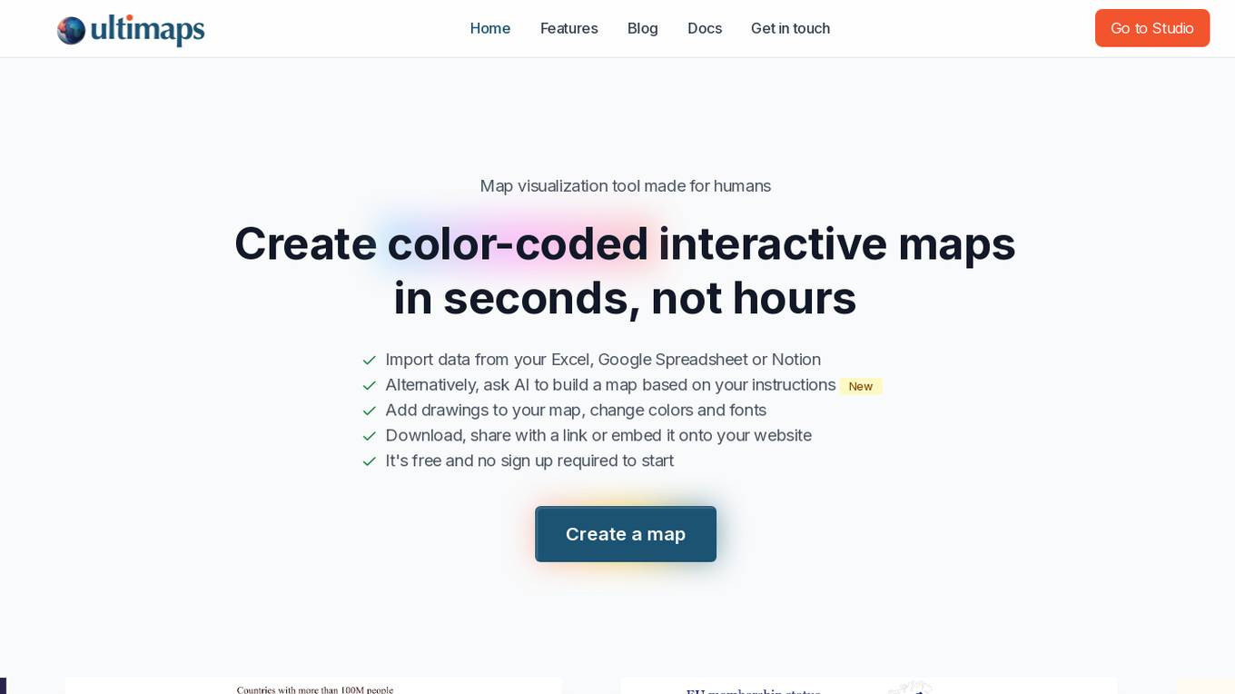
Ultimaps
Ultimaps is an AI-powered map visualization tool designed for humans to create color-coded interactive maps in seconds. Users can import data from Excel, Google Spreadsheet, or Notion, or instruct the AI to build a map based on their requirements. The tool allows users to add drawings, change colors and fonts, and easily download, share, or embed the maps. Ultimaps offers features like automatic color-coding based on imported data, customization options, auto-saving of visualizations, and the ability to create interactive maps without any coding. It is a user-friendly platform suitable for various mapping needs.
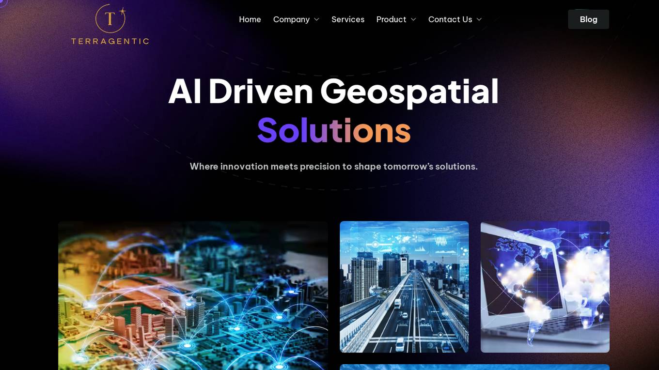
Terragentic
Terragentic is an AI-driven geospatial technology company that empowers sustainable resource management and transformative decision-making. They provide cutting-edge geospatial services, precise mapping, advanced data analytics, and innovative applications of artificial intelligence to solve complex challenges across diverse sectors. Terragentic is committed to environmental stewardship, ethical business practices, and delivering high-quality, AI-enhanced, accurate, and actionable geospatial intelligence to empower industries.
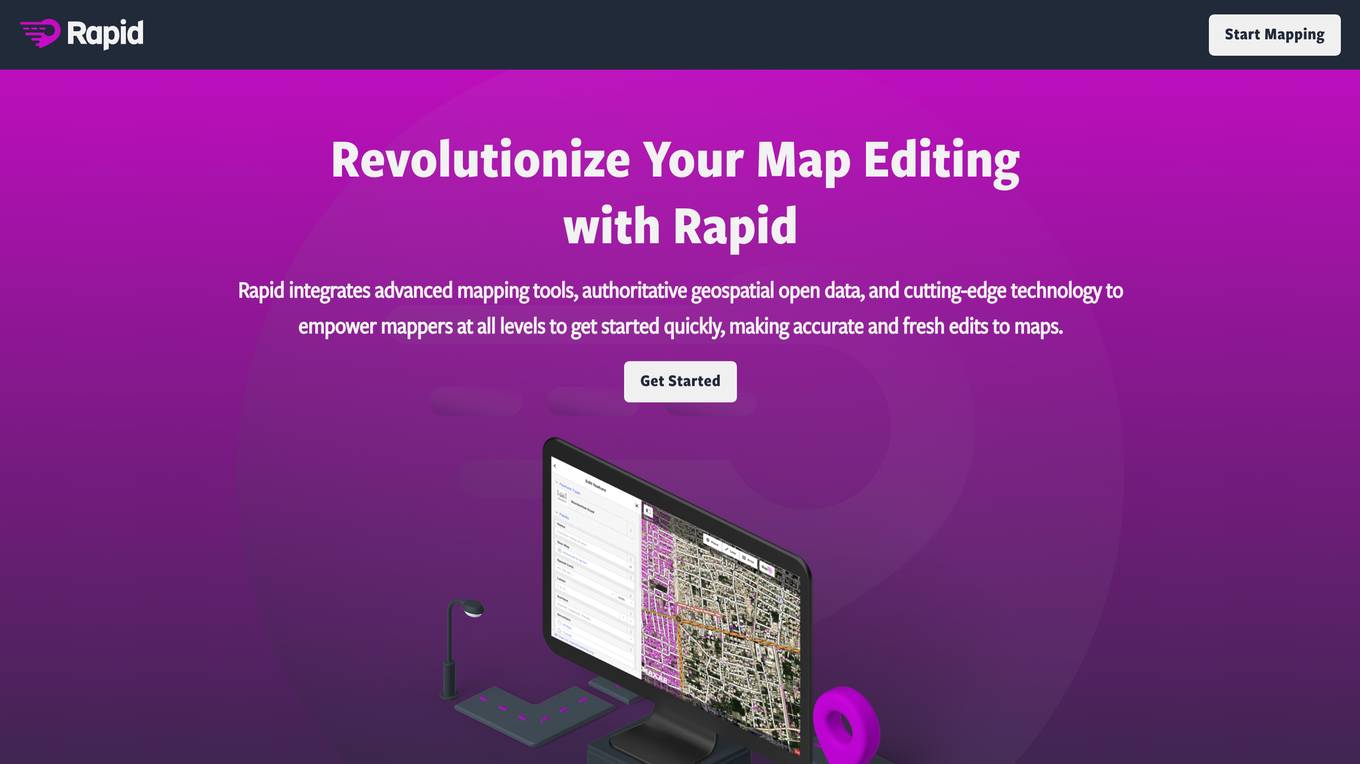
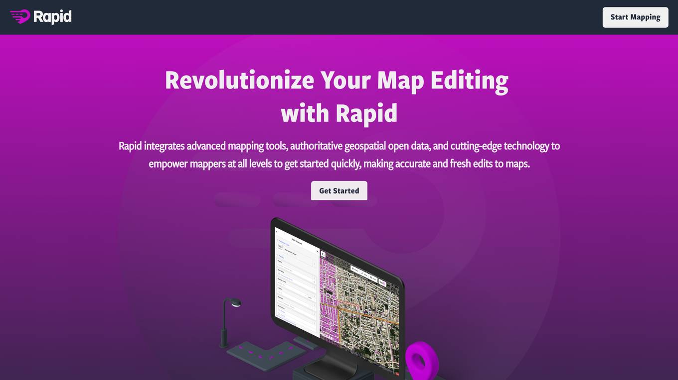
Rapid Editor
Rapid Editor is an advanced mapping tool that revolutionizes map editing by integrating cutting-edge technology and authoritative geospatial open data. It empowers OpenStreetMap mappers of all levels to make accurate and fresh edits quickly. The tool saves effort by utilizing AI to identify predicted features and provide a high-level overview of unmapped data globally. Rapid Editor's intuitive interface simplifies mapping, making it clear and simple for humanitarian and community groups to facilitate mapping projects.

VIZZIO.AI
VIZZIO.AI is an innovative AI-based platform that specializes in ultra-large-scale 3D reconstruction of digital city models worldwide. The platform utilizes smart AI algorithms to create dimensionally-accurate, photorealistic, and semantic 3D digital twins of the planet Earth. Powered by deep learning and satellite imagery, VIZZIO.AI offers timely global coverage for 3D mapping and visualization, enabling cross-platform embedding and planetary-scale city mapping. The platform's AI-based city modeling technology, known as 'EARTH ENGINE,' can identify buildings from above, extrapolate 3D reconstructions, and integrate live video feeds for immersive experiences.
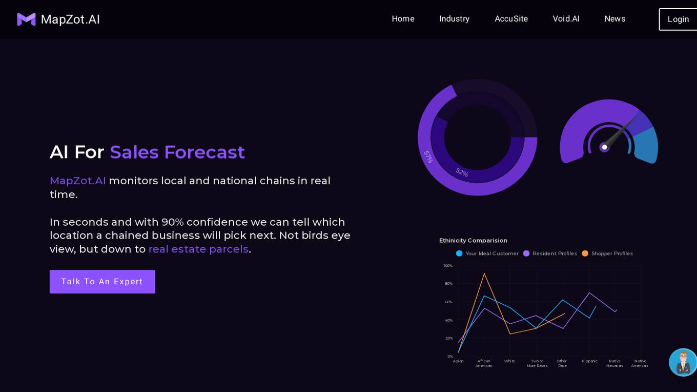
MapZot.AI
MapZot.AI is an advanced retail site selection and market analysis AI tool that leverages big data and unique algorithms to provide real-time insights for businesses. It monitors local and national chains, predicts their next locations with high confidence, and offers decision analytics to pinpoint the best real estate locations for various industries. With features like internal data utilization, store cannibalization models, and over 90% confidence in decision-making, MapZot.AI is a powerful platform for site selection and market planning.
Rapid Editor
Rapid Editor is an advanced map editing tool that revolutionizes map editing by integrating cutting-edge technology and AI-analyzed satellite imagery. It empowers OpenStreetMap mappers of all levels to make accurate and fresh edits quickly. The tool saves effort by tapping into open data and predicted features identified by artificial intelligence, providing a high-level overview of unmapped areas globally. Rapid Editor's intuitive user interface simplifies mapping, making it clear and simple for humanitarian and community groups to facilitate mapping projects.
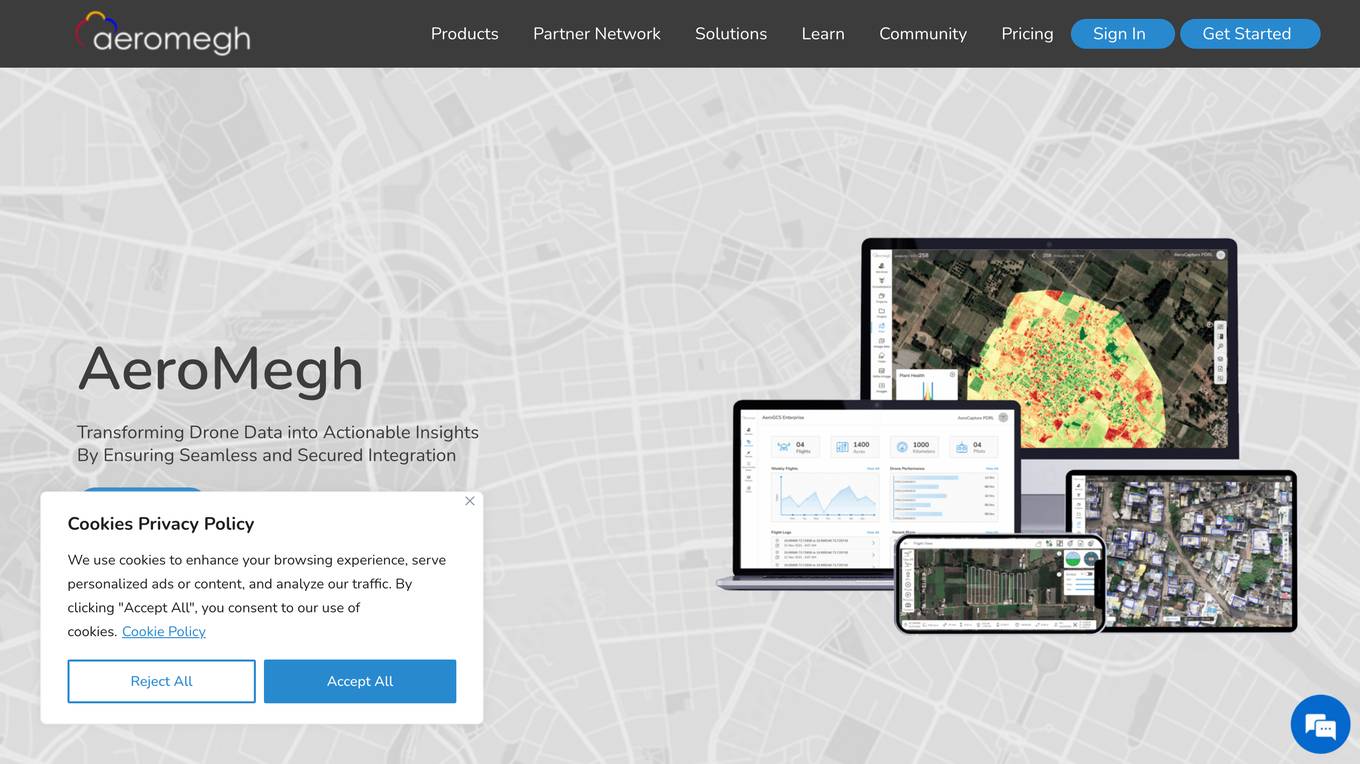
AeroMegh
AeroMegh is an advanced GeoAI platform designed for drone data analytics. It offers a comprehensive suite of services for professionals in various industries, enabling them to transform raw drone imagery into AI-powered insights. The platform integrates photogrammetry, AI analysis, and object detection to deliver accurate and reliable results without the need for extensive technical expertise. AeroMegh streamlines workflows, eliminates software integration challenges, and provides industry-specific tools for sectors such as power transmission, wind energy, agriculture, and construction.

Minimap.ai
Minimap.ai is an innovative AI-powered tool designed to provide users with detailed and accurate maps for various purposes. The tool utilizes advanced artificial intelligence algorithms to analyze and process geographical data, enabling users to generate customized maps quickly and efficiently. With Minimap.ai, users can create maps for navigation, urban planning, disaster management, and other applications with ease. The tool offers a user-friendly interface and a wide range of features to cater to different mapping needs.
5 - Open Source Tools
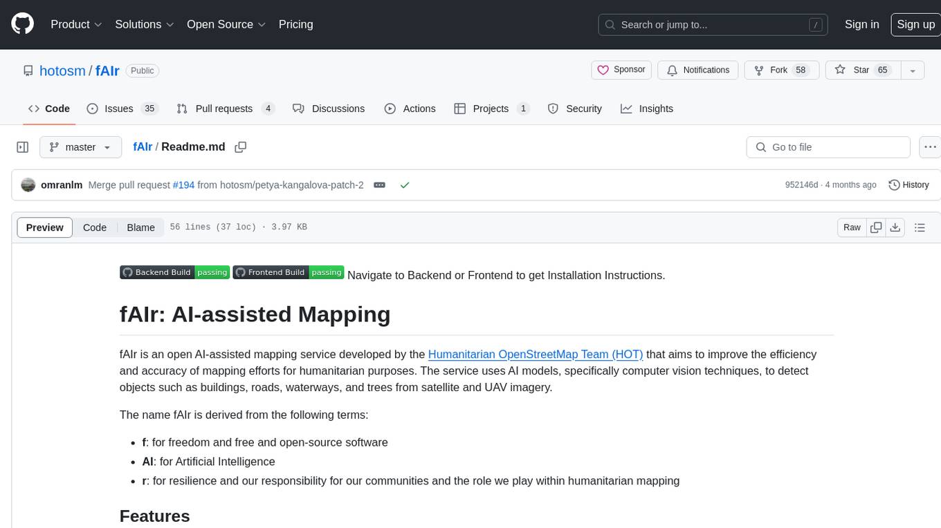
fAIr
fAIr is an open AI-assisted mapping service developed by the Humanitarian OpenStreetMap Team (HOT) to improve mapping efficiency and accuracy for humanitarian purposes. It uses AI models, specifically computer vision techniques, to detect objects like buildings, roads, waterways, and trees from satellite and UAV imagery. The service allows OSM community members to create and train their own AI models for mapping in their region of interest and ensures models are relevant to local communities. Constant feedback loop with local communities helps eliminate model biases and improve model accuracy.
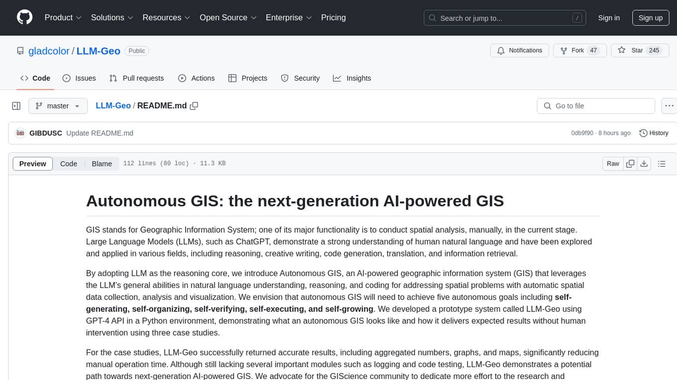
LLM-Geo
LLM-Geo is an AI-powered geographic information system (GIS) that leverages Large Language Models (LLMs) for automatic spatial data collection, analysis, and visualization. By adopting LLM as the reasoning core, it addresses spatial problems with self-generating, self-organizing, self-verifying, self-executing, and self-growing capabilities. The tool aims to make spatial analysis easier, faster, and more accessible by reducing manual operation time and delivering accurate results through case studies. It uses GPT-4 API in a Python environment and advocates for further research and development in autonomous GIS.
gis-mcp
This repository contains a Geographic Information System (GIS) tool for performing Minimum Cumulative Path (MCP) analysis. The tool allows users to calculate the optimal path that minimizes cumulative cost between multiple locations on a map. It is particularly useful for urban planning, transportation route optimization, and environmental impact assessment. The tool supports various cost functions such as distance, travel time, and resource consumption, providing flexibility for different applications. Users can visualize the results on interactive maps and export the analysis outputs for further processing. The tool is implemented in Python and leverages popular GIS libraries such as GeoPandas and NetworkX for efficient spatial analysis.
golf
Golf is a simple command-line tool for calculating the distance between two geographic coordinates. It uses the Haversine formula to accurately determine the distance between two points on the Earth's surface. This tool is useful for developers working on location-based applications or projects that require distance calculations. With Golf, users can easily input latitude and longitude coordinates and get the precise distance in kilometers or miles. The tool is lightweight, easy to use, and can be integrated into various programming workflows.
ST-Raptor
ST-Raptor is a powerful open-source tool for analyzing and visualizing spatial-temporal data. It provides a user-friendly interface for exploring complex datasets and generating insightful visualizations. With ST-Raptor, users can easily identify patterns, trends, and anomalies in their spatial-temporal data, making it ideal for researchers, analysts, and data scientists working with geospatial and time-series data.
11 - OpenAI Gpts
Geo Advisor
GIS specialist providing expert advice, analysis, and solutions related to geographic data.
Urban Analyzer: LP Report Q4 2023
Urban Analyzer with consolidated files containing just UR information.

GIS GPT
Expert in GIS, guiding users through learning, troubleshooting, automation and practical applications.
OpenStreetMap Query
Helps get map data from Open Street Map by generating Overpass Turbo queries. Ask me for mapping features like cafes, rivers or highways

🌍 QGIS Styling Expert (5.0⭐)
Expert in QGIS Geometry Generator expressions, providing detailed, educational, and clear guides.
LiDAR GPT - LAStools Comprehensive Expert
Expert in LAStools with in-depth command line knowledge.