DWE.ai
Forged for the Depths
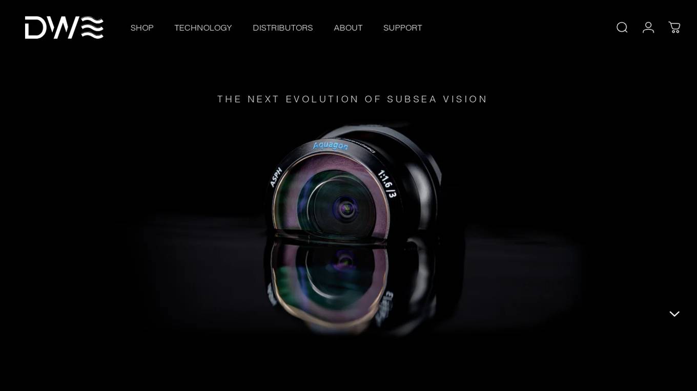
DWE.ai is an AI-powered platform specializing in DeepWater Exploration. The platform offers cutting-edge marine optics for crystal clear underwater imaging data, empowering marine robotics, surface vehicles, aquaculture farms, and aerial drones with advanced mapping and vision capabilities. DWE.ai provides cost-effective equipment for monitoring subsea assets, conducting detailed inspections, and collecting essential environmental data to revolutionize underwater research and operations.
For Tasks:
Click tags to check more tools for each tasksFor Jobs:
Features
Advantages
Disadvantages
Frequently Asked Questions
Alternative AI tools for DWE.ai
Similar sites
DWE.ai
DWE.ai is an AI-powered platform specializing in DeepWater Exploration. The platform offers cutting-edge marine optics for crystal clear underwater imaging data, empowering marine robotics, surface vehicles, aquaculture farms, and aerial drones with advanced mapping and vision capabilities. DWE.ai provides cost-effective equipment for monitoring subsea assets, conducting detailed inspections, and collecting essential environmental data to revolutionize underwater research and operations.
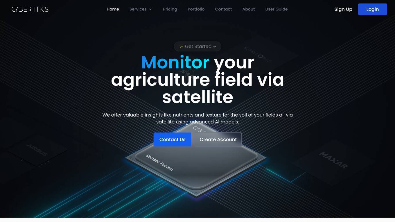
Cybertiks
Cybertiks is an AI-powered platform that offers remote monitoring and analysis of agriculture fields using satellite imagery. The platform provides valuable insights such as soil nutrients and texture, tailored AI models for accurate metrics, historical data analysis, and visualization of results on a map. Cybertiks integrates various data sources, including optical and radar data, to deliver comprehensive and strategic information to clients. The platform utilizes quantum-enabled artificial intelligence for material detection, classification, and quantification. With a focus on tailored solutions, Cybertiks empowers clients with expert knowledge in agriculture, artificial intelligence, and software development.
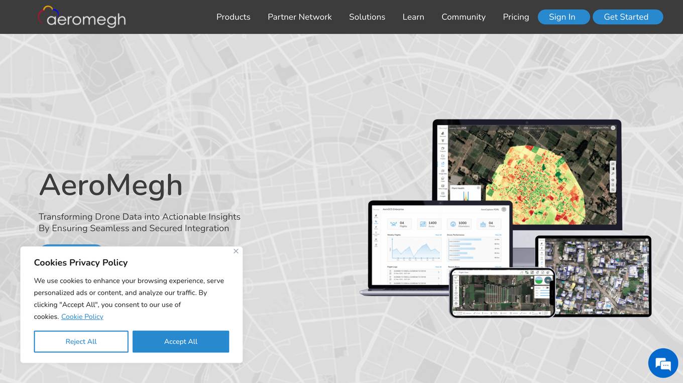
AeroMegh
AeroMegh is an advanced GeoAI platform designed for drone data analytics. It offers a comprehensive suite of services for professionals in various industries, enabling them to transform raw drone imagery into AI-powered insights. The platform integrates photogrammetry, AI analysis, and object detection to deliver accurate and reliable results without the need for extensive technical expertise. AeroMegh streamlines workflows, eliminates software integration challenges, and provides industry-specific tools for sectors such as power transmission, wind energy, agriculture, and construction.
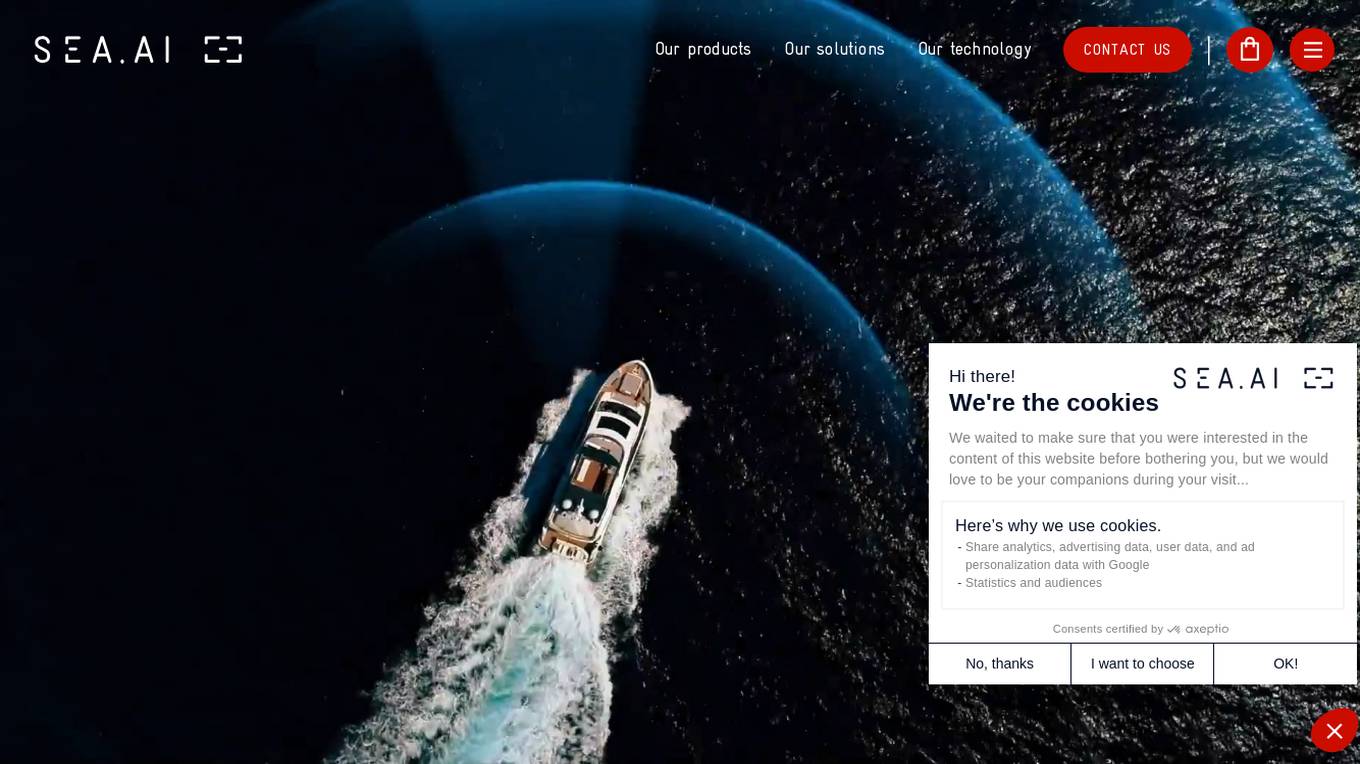
SEA.AI
SEA.AI is an AI tool that provides Machine Vision for Safety at Sea. It utilizes the latest camera technology combined with artificial intelligence to detect and classify objects on the surface of the water, including unsignalled craft, floating obstacles, buoys, kayaks, and persons overboard. The application offers various solutions for sailing, commercial, motor, maritime surveillance, search & rescue, and government sectors. SEA.AI aims to enhance safety and convenience for sailors by leveraging AI technology for early detection of potential hazards at sea.
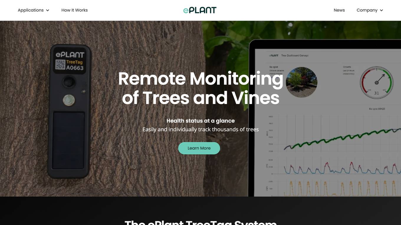
ePlant
ePlant is an advanced solution for tree care and plant research, offering precision tree monitoring from the lab to the landscape. It provides wireless monitoring solutions with advanced sensors for plant researchers and consulting arborists, enabling efficient data collection and analysis for better decision-making. The platform empowers users to track plant growth, water stress, tree lean, and sway through innovative sensors and data visualization tools. ePlant aims to simplify data management and transform complex datasets into actionable insights for users in the field of plant science and arboriculture.
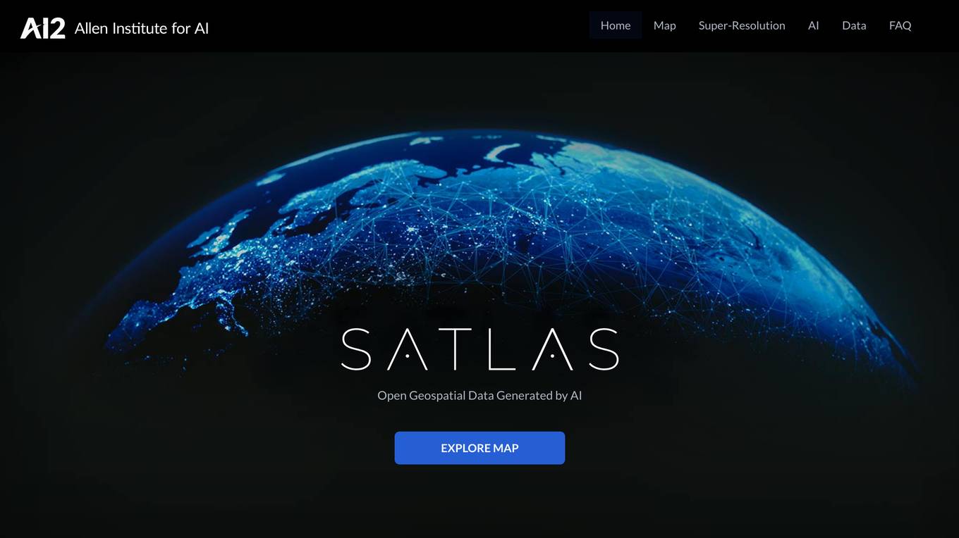
Satlas
Satlas is an AI-powered platform that provides geospatial data generated by AI models. The platform offers insights into changes in marine infrastructure, renewable energy infrastructure, and tree cover on a monthly basis. Users can explore maps showcasing developments such as wind farms, solar farms, deforestation, and more. Satlas employs advanced AI architectures and training algorithms in computer vision to enhance low-resolution satellite imagery and produce high-resolution images globally. The platform's geospatial datasets are freely available for offline analysis, along with AI models and training labels. Developed by the Allen Institute for AI, Satlas aims to advance computer vision technology for better understanding and monitoring of Earth's changes.

GitHub Buoyant
GitHub Buoyant is an AI-powered marine data aggregator tool that fetches marine conditions from NOAA via various free APIs. It provides wave conditions, wind data, tide levels, and water temperature for coastal areas in the US. The tool offers a comprehensive marine report with detailed information on waves, wind, tides, water temperature, and weather forecasts. It includes a library for developers to integrate marine data into their own code and covers US mainland coastal waters, Great Lakes, Hawaii, Alaska, Puerto Rico, USVI, and Guam. The tool handles NOAA's data quirks and provides insights into the technical aspects of data processing and validation.
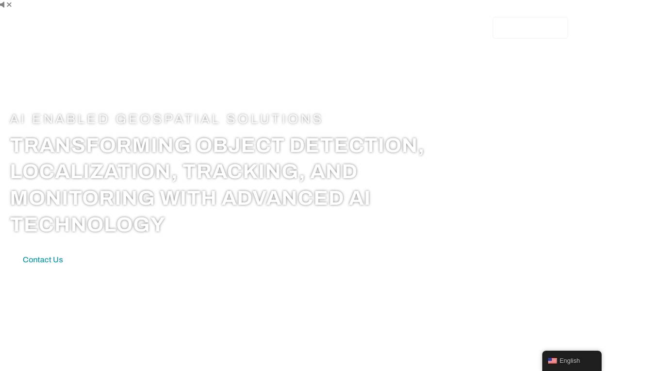
FlyPix
FlyPix is an AI-enabled geospatial solutions platform that leverages advanced AI technology to transform object detection, localization, tracking, and monitoring in the field of geospatial technology. The platform offers a wide range of capabilities, including AI-driven object analysis, change and anomaly detection, dynamic tracking, and custom use cases tailored to meet unique industry needs. FlyPix aims to provide unparalleled precision and efficiency in operations by converting complex imagery into actionable, geo-referenced insights.
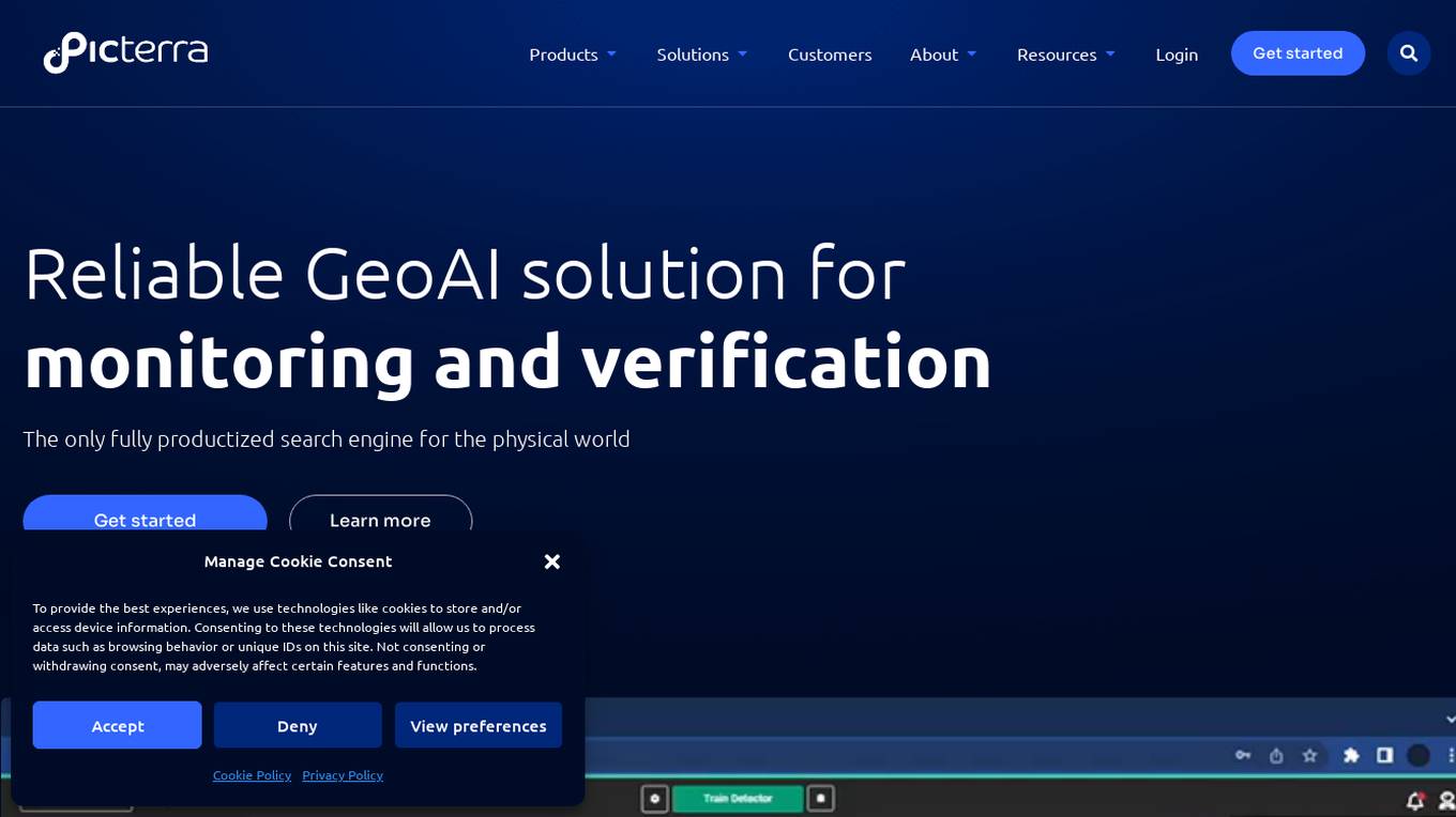
Picterra
Picterra is a geospatial AI platform that offers reliable solutions for sustainability, compliance, monitoring, and verification. It provides an all-in-one plot monitoring system, professional services, and interactive tours. Users can build custom AI models to detect objects, changes, or patterns using various geospatial imagery data. Picterra aims to revolutionize geospatial analysis with its category-leading AI technology, enabling users to solve challenges swiftly, collaborate more effectively, and scale further.

Airship AI
Airship AI is a cutting-edge, artificial intelligence-driven video, sensor, and data management surveillance platform. Customers rely on their services to provide actionable intelligence in real-time, collected from a wide range of deployed sensors, utilizing the latest in edge and cloud-based analytics. These capabilities improve public safety and operational efficiency for both public sector and commercial clients. Founded in 2006, Airship AI is U.S. owned and operated, headquartered in Redmond, Washington. Airship's product suite is comprised of three core offerings: Acropolis, the enterprise software stack, Command, the family of viewing clients, and Outpost, edge hardware and software AI offerings.
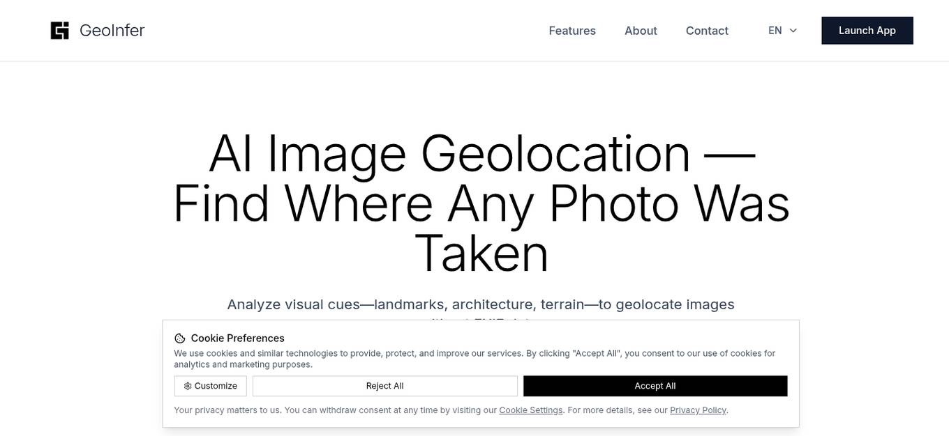
GeoInfer
GeoInfer is a professional AI-powered geolocation platform that analyzes photographs to determine where they were taken. It uses visual-only inference technology to examine visual elements like architecture, terrain, vegetation, and environmental markers to identify geographic locations without requiring GPS metadata or EXIF data. The platform offers transparent accuracy levels for different use cases, including a Global Model with 1km-100km accuracy ideal for regional and city-level identification. Additionally, GeoInfer provides custom regional models for organizations requiring higher precision, such as meter-level accuracy for specific geographic areas. The platform is designed for professionals in various industries, including law enforcement, insurance fraud investigation, digital forensics, and security research.
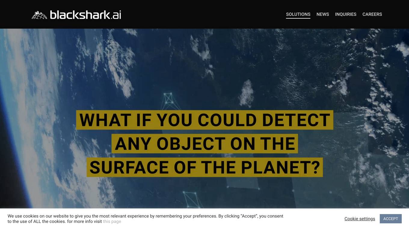
Blackshark.ai
Blackshark.ai is an AI-based platform that generates real-time accurate semantic photorealistic 3D digital twin of the entire planet. The platform extracts insights about the planet's infrastructure from satellite and aerial imagery via machine learning at a global scale. It enriches missing attributes using AI to provide a photorealistic, geo-typical, or asset-specific digital twin. The results can be used for visualization, simulation, mapping, mixed reality environments, and other enterprise solutions. The platform offers end-to-end geospatial solutions, including globe data input sources, no-code data labeling, geointelligence at scale, 3D semantic map, and synthetic environments.

Outsight
Outsight is an AI application that utilizes LiDAR technology to provide end-to-end passenger journey tracking, enhance airport operations, improve security solutions, and transform various industries. The application offers high-accuracy, all-weather monitoring, reduces false alarms, and enhances perimeter and access control. Outsight collaborates with industry leaders to deliver unprecedented solutions in the field of Spatial AI, making spaces truly smart and revolutionizing the way we perceive reality.
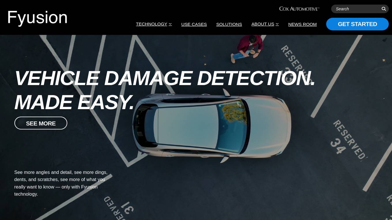
Fyusion
Fyusion is an AI-powered application that specializes in vehicle damage detection through advanced technology and deep AI understanding. It offers stunning 3D vehicle imagery and actionable insights for a comprehensive view of the vehicle's condition. Fyusion's technology revolutionizes the automotive industry by providing comprehensive condition reporting and interactive 3D imaging solutions. The application is utilized in various sectors, including wholesale, dealerships, and fleet operators, to enhance decision-making processes and streamline vehicle inspections.
Watergate
Watergate is a smart water leak detection application that helps users monitor and manage their water usage efficiently. It offers advanced features powered by AI technology to provide deep insights, proactive leak monitoring, and autopilot functionality. The application aims to optimize water use, maximize savings, and ensure water system safety. Watergate is designed to safeguard properties and conserve water resources by offering intelligent alerts and communication capabilities.
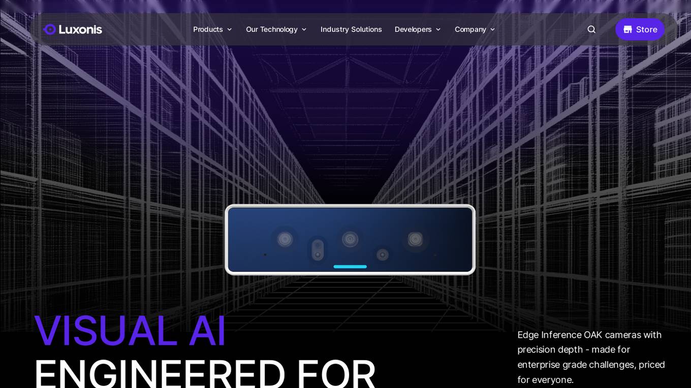
Luxonis
Luxonis is an AI application that offers Visual AI solutions engineered for precision edge inference. The application provides stereo depth cameras with unique features and quality, enabling users to perform advanced vision tasks on-device, reducing latency and bandwidth demands. With open-source DepthAI API, users can create and deploy custom vision solutions that scale with their needs. Luxonis also offers real-world training data for self-improving vision intelligence and operates flawlessly through vibrations, temperature shifts, and extended use. The application integrates advanced sensing capabilities with up to 48MP cameras, wide field of view, IMUs, microphones, ToF, thermal, IR illumination, and active stereo for unparalleled perception.
For similar tasks
DWE.ai
DWE.ai is an AI-powered platform specializing in DeepWater Exploration. The platform offers cutting-edge marine optics for crystal clear underwater imaging data, empowering marine robotics, surface vehicles, aquaculture farms, and aerial drones with advanced mapping and vision capabilities. DWE.ai provides cost-effective equipment for monitoring subsea assets, conducting detailed inspections, and collecting essential environmental data to revolutionize underwater research and operations.
For similar jobs
DWE.ai
DWE.ai is an AI-powered platform specializing in DeepWater Exploration. The platform offers cutting-edge marine optics for crystal clear underwater imaging data, empowering marine robotics, surface vehicles, aquaculture farms, and aerial drones with advanced mapping and vision capabilities. DWE.ai provides cost-effective equipment for monitoring subsea assets, conducting detailed inspections, and collecting essential environmental data to revolutionize underwater research and operations.
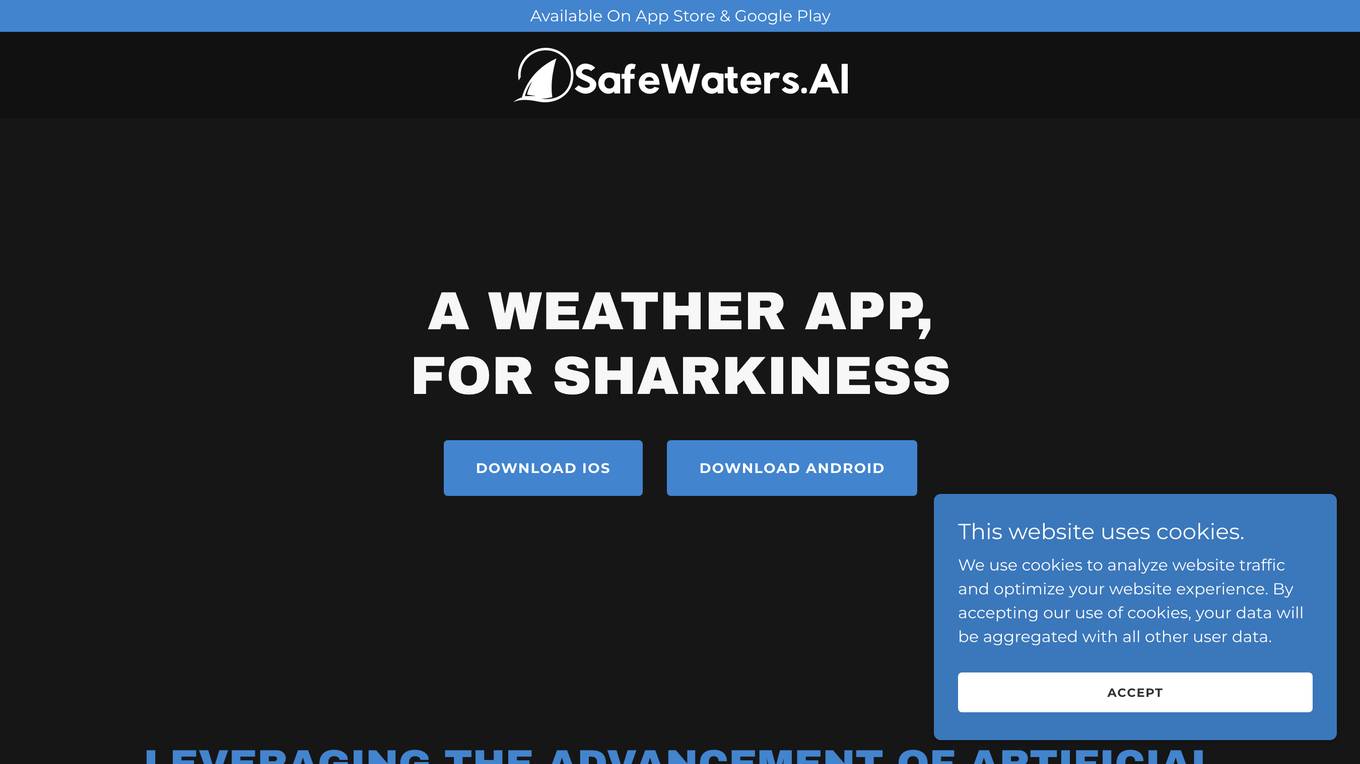
SafeWaters.ai
SafeWaters.ai is an AI-powered application that provides shark risk forecasts for beaches globally. The app utilizes predictive AI technology trained on 200+ years of shark attack and marine weather data to deliver accurate 7-day forecasts. Users can search for any beach in the world, save favorites, and receive current and future risk assessments. Additionally, SafeWaters.ai offers features like Shark Spotting Drones Live Feed, Chatbot assistance, and Shark Tracking & Pattern Predictions based on tagged shark data.