
GeoInfer
Professional AI-powered geolocation for investigative intelligence
GeoInfer is a professional AI-powered geolocation platform that analyzes photographs to determine where they were taken. It uses visual-only inference technology to examine visual elements like architecture, terrain, vegetation, and environmental markers to identify geographic locations without requiring GPS metadata or EXIF data. The platform offers transparent accuracy levels for different use cases, including a Global Model with 1km-100km accuracy ideal for regional and city-level identification. Additionally, GeoInfer provides custom regional models for organizations requiring higher precision, such as meter-level accuracy for specific geographic areas. The platform is designed for professionals in various industries, including law enforcement, insurance fraud investigation, digital forensics, and security research.
For Tasks:
Click tags to check more tools for each tasksFor Jobs:
Features
Advantages
Disadvantages
Frequently Asked Questions
Alternative AI tools for GeoInfer
Similar sites
GeoInfer
GeoInfer is a professional AI-powered geolocation platform that analyzes photographs to determine where they were taken. It uses visual-only inference technology to examine visual elements like architecture, terrain, vegetation, and environmental markers to identify geographic locations without requiring GPS metadata or EXIF data. The platform offers transparent accuracy levels for different use cases, including a Global Model with 1km-100km accuracy ideal for regional and city-level identification. Additionally, GeoInfer provides custom regional models for organizations requiring higher precision, such as meter-level accuracy for specific geographic areas. The platform is designed for professionals in various industries, including law enforcement, insurance fraud investigation, digital forensics, and security research.

Mixpeek
Mixpeek is a multimodal intelligence platform that helps users extract important data from videos, images, audio, and documents. It enables users to focus on insights rather than data preparation by identifying concepts, activities, and objects from various sources. Mixpeek offers features such as real-time synchronization, extraction and embedding, fine-tuning and scaling of models, and seamless integration with various data sources. The platform is designed to be easy to use, scalable, and secure, making it suitable for a wide range of applications.
Macgence AI Training Data Services
Macgence is an AI training data services platform that offers high-quality off-the-shelf structured training data for organizations to build effective AI systems at scale. They provide services such as custom data sourcing, data annotation, data validation, content moderation, and localization. Macgence combines global linguistic, cultural, and technological expertise to create high-quality datasets for AI models, enabling faster time-to-market across the entire model value chain. With more than 5 years of experience, they support and scale AI initiatives of leading global innovators by designing custom data collection programs. Macgence specializes in handling AI training data for text, speech, image, and video data, offering cognitive annotation services to unlock the potential of unstructured textual data.
Innovatiana
Innovatiana is a data labeling outsourcing platform that offers high-quality datasets for artificial intelligence models. They specialize in image, audio/video, and text data labeling tasks, providing ethical outsourcing with a focus on impact and transparency. Innovatiana recruits and trains their own team in Madagascar, ensuring fair pay and good working conditions. They offer competitive rates, secure data handling, and high-quality labeled data to feed AI models. The platform supports various AI tasks such as Computer Vision, Data Collection, Data Moderation, Documents Processing, and Natural Language Processing.
Innovatiana
Innovatiana is a data labeling outsourcing company that provides high-quality training data for AI models. They specialize in computer vision, data moderation, document processing, natural language processing, and data collection. Innovatiana is committed to ethical and sustainable practices, and they pay their data labelers fair wages and provide them with good working conditions. They also use a variety of quality control measures to ensure that their data is accurate and reliable.
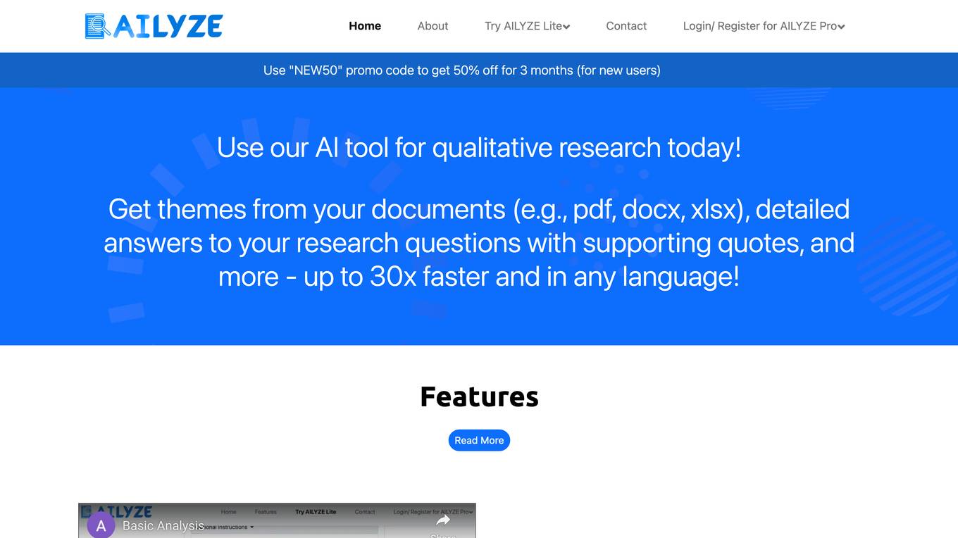
AILYZE
AILYZE is an AI tool designed for qualitative data collection and analysis. Users can upload various document formats in any language to generate codes, conduct thematic, frequency, content, and cross-group analysis, extract top quotes, and more. The tool also allows users to create surveys, utilize an AI voice interviewer, and recruit participants globally. AILYZE offers different plans with varying features and data security measures, including options for advanced analysis and AI interviewer add-ons. Additionally, users can tap into data scientists for detailed and customized analyses on a wide range of documents.

Syntho
Syntho is a self-service AI-generated synthetic data platform that offers a comprehensive solution for generating synthetic data for various purposes. It provides tools for de-identification, test data management, rule-based synthetic data generation, data masking, and more. With a focus on privacy and accuracy, Syntho enables users to create synthetic data that mirrors real production data while ensuring compliance with regulations and data privacy standards. The platform offers a range of features and use cases tailored to different industries, including healthcare, finance, and public organizations.
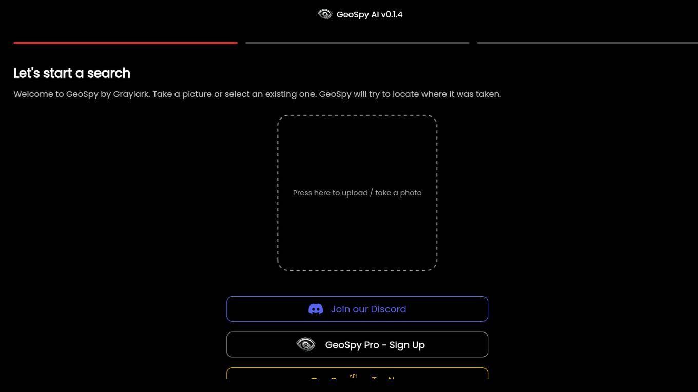
GeoSpy.ai
GeoSpy.ai is a web-based geospatial intelligence platform that provides users with access to a variety of geospatial data and tools. The platform allows users to create and share maps, analyze data, and collaborate with others. GeoSpy.ai is used by a variety of professionals, including law enforcement, intelligence analysts, and environmental scientists.
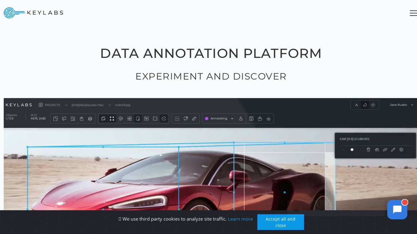
Keylabs
Keylabs is a state-of-the-art data annotation platform that enhances AI projects with highly precise data annotation and innovative tools. It offers image and video annotation, labeling, and ML-assisted features for industries such as automotive, aerial, agriculture, robotics, manufacturing, waste management, medical, healthcare, retail, fashion, sports, security, livestock, construction, and logistics. Keylabs provides advanced annotation tools, built-in machine learning, efficient operation management, and extra high performance to boost the preparation of visual data for machine learning. The platform ensures transparency in pricing with no hidden fees and offers a free trial for users to experience its capabilities.

Pongo
Pongo is an AI-powered tool that helps reduce hallucinations in Large Language Models (LLMs) by up to 80%. It utilizes multiple state-of-the-art semantic similarity models and a proprietary ranking algorithm to ensure accurate and relevant search results. Pongo integrates seamlessly with existing pipelines, whether using a vector database or Elasticsearch, and processes top search results to deliver refined and reliable information. Its distributed architecture ensures consistent latency, handling a wide range of requests without compromising speed. Pongo prioritizes data security, operating at runtime with zero data retention and no data leaving its secure AWS VPC.
Kensho Solutions
Kensho Solutions is an AI tool that illuminates insights in the world's data by providing AI solutions for audio transcription, entity identification, document classification, data extraction, and company data mapping. Their AI solutions unlock insights, enabling users to make data-driven decisions with conviction. In partnership with S&P Global, Kensho Solutions has access to vast amounts of data, which they use to train and develop machine learning algorithms to address the business world's most pressing challenges.
Tableau
Tableau is a visual analytics platform that helps people see, understand, and act on data. It is used by organizations of all sizes to solve problems, make better decisions, and improve operations. Tableau's platform is intuitive and easy to use, making it accessible to people of all skill levels. It also offers a wide range of features and capabilities, making it a powerful tool for data analysis and visualization.
Image Bear AI
Image Bear AI is an advanced image recognition tool that utilizes artificial intelligence to analyze and identify objects within images. The application is designed to assist users in various industries such as e-commerce, security, and healthcare by providing accurate and efficient image analysis capabilities. With its cutting-edge technology, Image Bear AI offers a user-friendly interface and fast processing speeds, making it a valuable tool for businesses looking to streamline their image recognition processes.
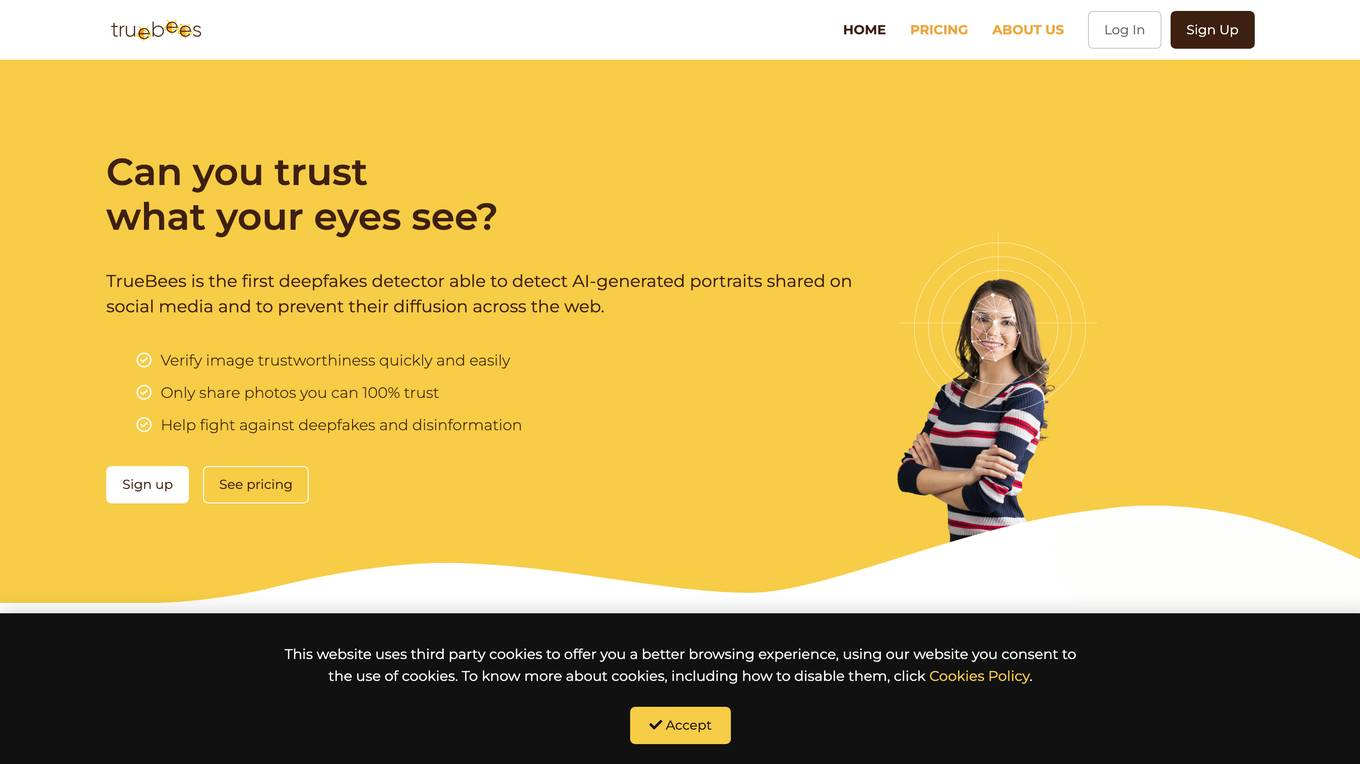
TrueBees
TrueBees is a deepfakes detector application that leverages the power of Artificial Intelligence to detect and prevent the spread of AI-generated images on social media. It provides a reliable solution for media professionals and individuals to verify the trustworthiness of images, combat deepfakes, and ensure the authenticity of visual content shared online. By combining digital media forensics and blockchain technology, TrueBees offers a secure and accurate platform for image authentication, making it a valuable tool in the fight against disinformation and fraudulent content.
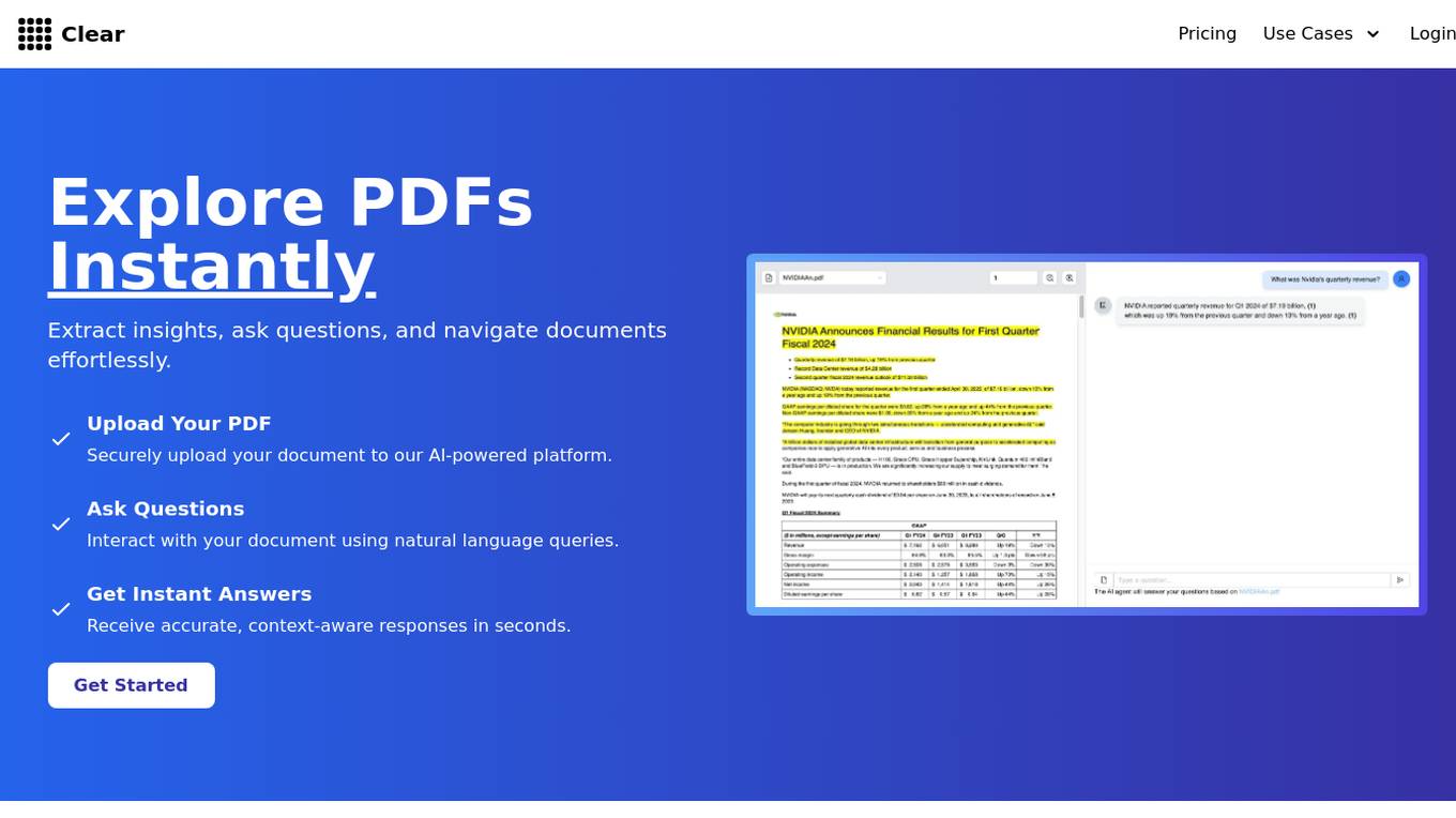
ClearAI
ClearAI is an AI-powered platform that offers instant extraction of insights, effortless document navigation, and natural language interaction. It enables users to upload PDFs securely, ask questions, and receive accurate responses in seconds. With features like structured results, intelligent search, and lifetime access offers, ClearAI simplifies tasks such as analyzing company reports, risk assessment, audit support, contract review, legal research, and due diligence. The platform is designed to streamline document analysis and provide relevant data efficiently.
OpenTrain AI
OpenTrain AI is a data labeling marketplace that leverages artificial intelligence to streamline the process of labeling data for machine learning models. It provides a platform where users can crowdsource data labeling tasks to a global community of annotators, ensuring high-quality labeled datasets for training AI algorithms. With advanced AI algorithms and human-in-the-loop validation, OpenTrain AI offers efficient and accurate data labeling services for various industries such as autonomous vehicles, healthcare, and natural language processing.
For similar tasks
LensAI
LensAI is an AI-powered contextual computer vision ad solution that monetizes any visual content and fine-tunes targeting through identifying objects, logos, actions, and context and matching them with relevant ads.

Luxi
Luxi is an AI-powered tool that enables users to automatically discover items in images. By leveraging advanced image recognition technology, Luxi can accurately identify objects within images, making it easier for users to search, categorize, and analyze visual content. With Luxi, users can streamline their image processing workflows, saving time and effort in identifying and tagging objects within large image datasets.
GeoInfer
GeoInfer is a professional AI-powered geolocation platform that analyzes photographs to determine where they were taken. It uses visual-only inference technology to examine visual elements like architecture, terrain, vegetation, and environmental markers to identify geographic locations without requiring GPS metadata or EXIF data. The platform offers transparent accuracy levels for different use cases, including a Global Model with 1km-100km accuracy ideal for regional and city-level identification. Additionally, GeoInfer provides custom regional models for organizations requiring higher precision, such as meter-level accuracy for specific geographic areas. The platform is designed for professionals in various industries, including law enforcement, insurance fraud investigation, digital forensics, and security research.
For similar jobs
Polycam
The website offers a cross-platform 3D scanning tool for floor plans and drone mapping. It allows users to capture and collaborate in new ways, providing reality capture for professionals to document, measure, and design various spaces. Users can create instantly shareable 3D models, generate customizable 2D floor plans, capture drone footage for 3D models, and document detailed metrics for site surveys, construction sites, products, and more. The tool is suitable for teams in architecture, engineering, construction, forensics, investigation, product design, manufacturing, media, and entertainment industries.
Amped Software
Amped Software develops solutions for the analysis and enhancement of images and videos for forensic, security, and investigative applications. Their tools are used by top forensic labs, law enforcement, military, security, and government agencies worldwide.
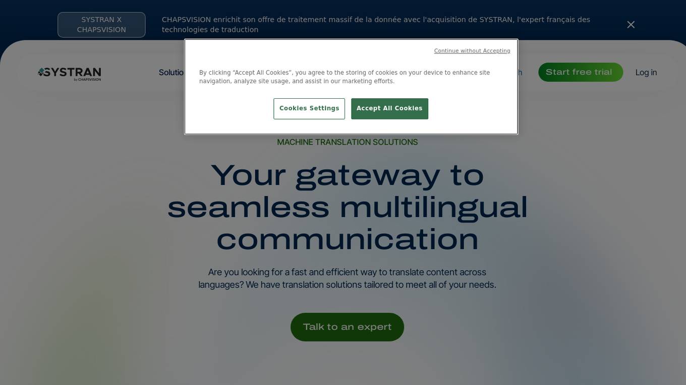
SYSTRAN
SYSTRAN is a professional translation tool that enables multilingual communication and collaboration, providing fast, accurate, and enhanced machine translations for various industries. It offers solutions for global customer service and support, forensics and eDiscovery, content localization, education and eLearning, and big data analysis for government. The tool also includes features like machine translation server, private cloud solutions, model training, and API integration, ensuring efficient and secure online translation. With over 50 years of expertise, SYSTRAN leverages AI technology to deliver precise translations tailored to meet diverse business needs.
GeoInfer
GeoInfer is a professional AI-powered geolocation platform that analyzes photographs to determine where they were taken. It uses visual-only inference technology to examine visual elements like architecture, terrain, vegetation, and environmental markers to identify geographic locations without requiring GPS metadata or EXIF data. The platform offers transparent accuracy levels for different use cases, including a Global Model with 1km-100km accuracy ideal for regional and city-level identification. Additionally, GeoInfer provides custom regional models for organizations requiring higher precision, such as meter-level accuracy for specific geographic areas. The platform is designed for professionals in various industries, including law enforcement, insurance fraud investigation, digital forensics, and security research.
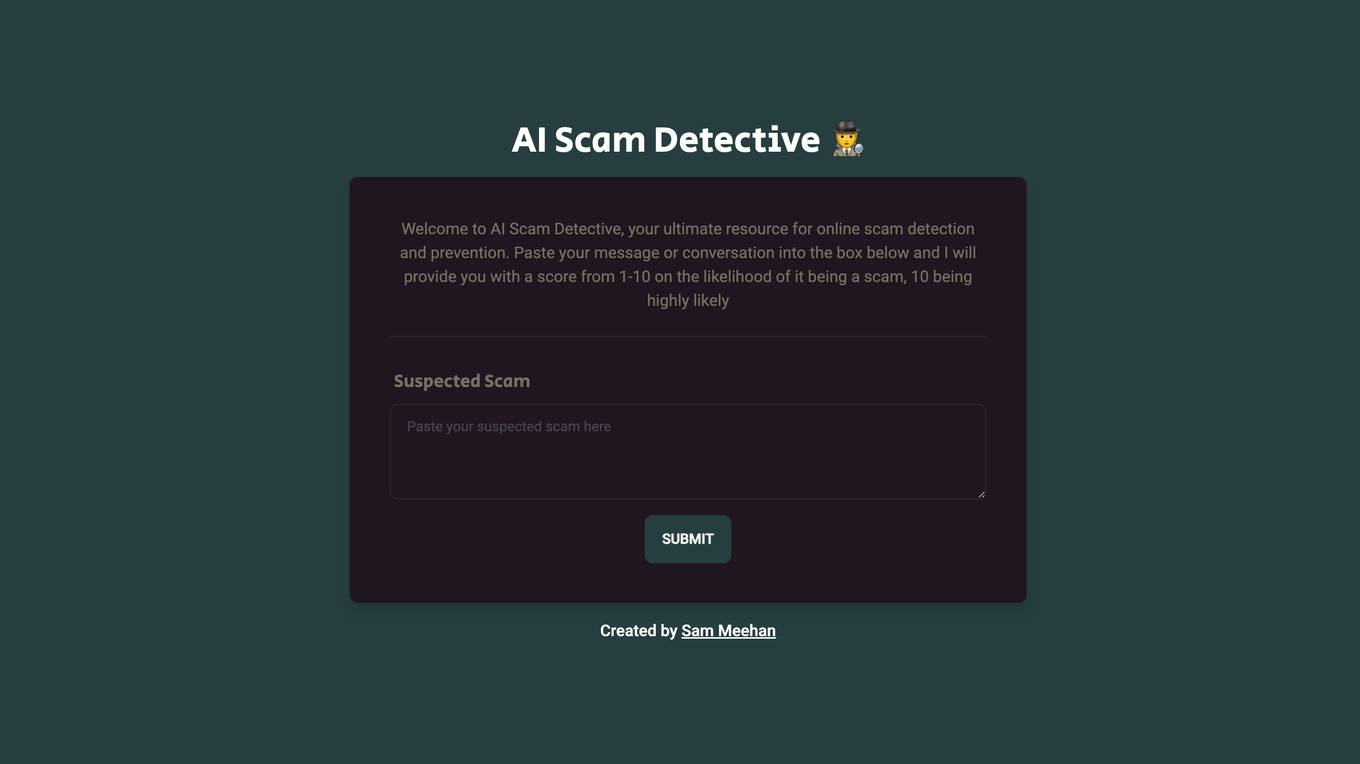
AI Scam Detective
AI Scam Detective is an AI tool designed to help users detect and prevent online scams. Users can input messages or conversations into the tool, which then provides a scam likelihood score from 1 to 10. The tool aims to empower users to identify potential scams and protect themselves from fraudulent activities. Created by Sam Meehan.
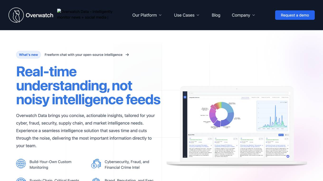
Overwatch Data
Overwatch Data is an AI-powered threat intelligence platform designed to provide fraud and cyber threat intelligence to businesses. The platform utilizes AI agents to monitor over 300k sources, including deep & dark web channels and social media platforms, to deliver real-time threat intelligence. Overwatch helps businesses prevent fraud campaigns, data breaches, and cyberattacks by providing personalized and contextualized intelligence. The platform offers customizable AI agents, tailored intelligence workflows, and context-rich alerts to enable fraud and security teams to respond quickly and confidently to threats.

Veriff
Veriff is an AI-powered identity verification platform that combines automation and human expertise to detect deepfakes, prevent fraud, and onboard verified customers globally. It offers a range of verification services including identity & document verification, biometric authentication, age estimation, fraud prevention, and more. Veriff helps businesses restore trust to the internet by providing fast, accurate, and secure identity verification solutions that comply with global regulations and standards.
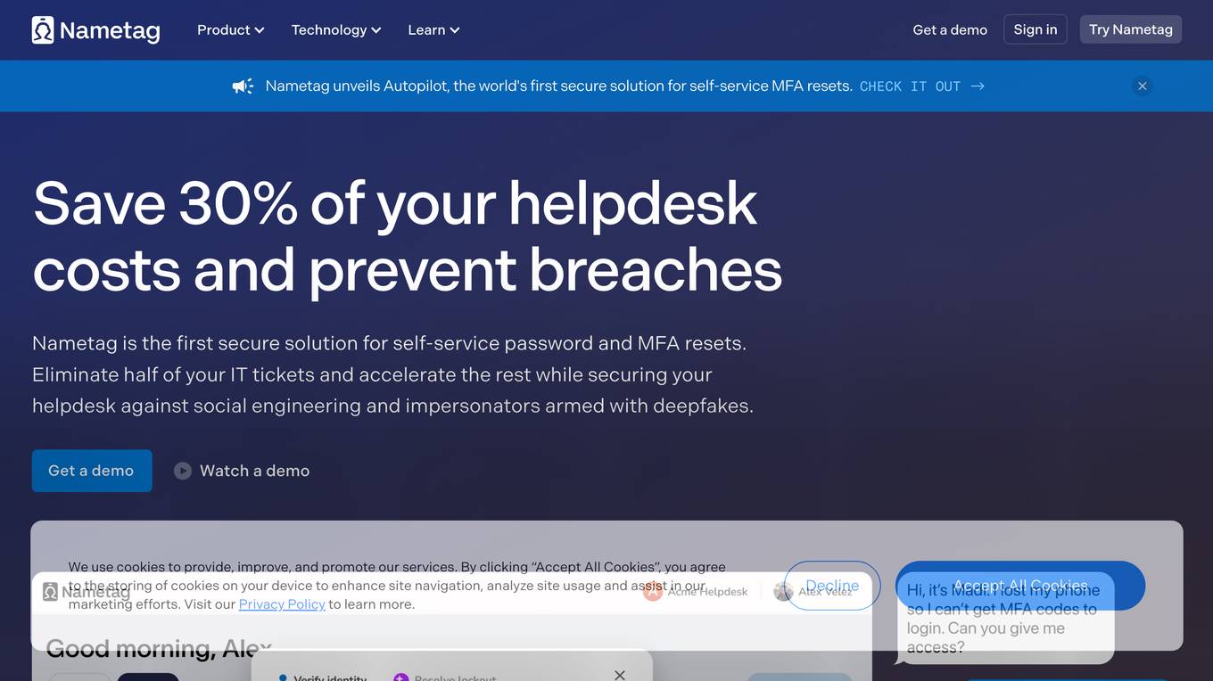
Nametag
Nametag is an identity verification solution designed specifically for IT helpdesks. It helps businesses prevent social engineering attacks, account takeovers, and data breaches by verifying the identity of users at critical moments, such as password resets, MFA resets, and high-risk transactions. Nametag's unique approach to identity verification combines mobile cryptography, device telemetry, and proprietary AI models to provide unmatched security and better user experiences.

SafeSpeak
SafeSpeak is an AI-powered mobile security solution that protects users from phone scams, SIM swaps, and other malicious activities. It uses advanced machine learning and large language models to detect and block threats in real-time. SafeSpeak offers a range of features for both personal and business use, including malicious behavior detection, community immunity, SIM swap detection, weekly and monthly reporting, quick and easy setup, admin dashboard, extensible API, custom reporting, and visibility into tactics, techniques, and procedures (TTPs).
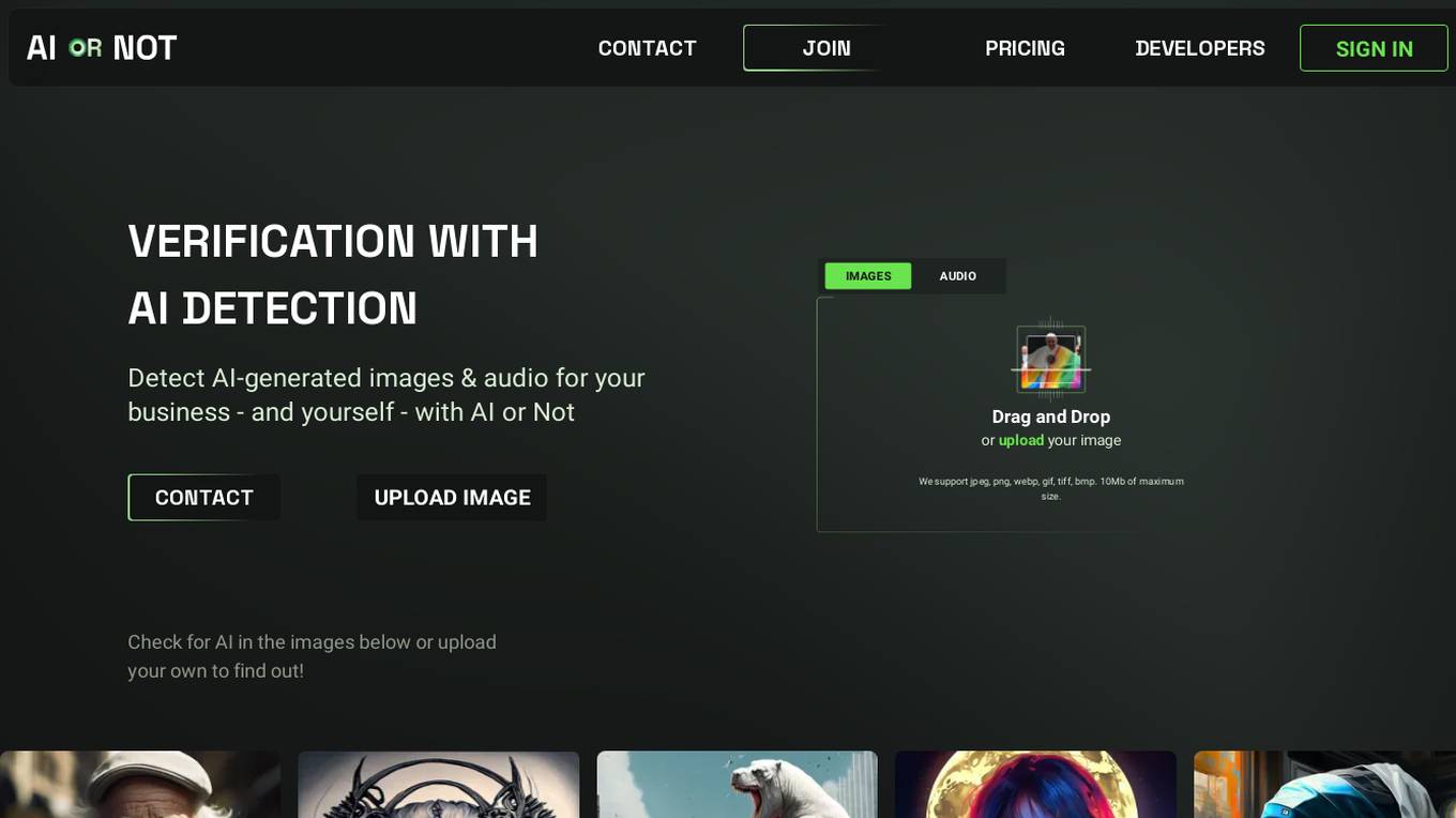
AI or Not
AI or Not is an AI-powered tool that helps businesses and individuals detect AI-generated images and audio. It uses advanced machine learning algorithms to analyze content and determine the likelihood of AI manipulation. With AI or Not, users can protect themselves from fraud, misinformation, and other malicious activities involving AI-generated content.
Brighterion AI
Brighterion AI, a Mastercard company, offers advanced AI solutions for financial institutions, merchants, and healthcare providers. With over 20 years of experience, Brighterion has revolutionized AI by providing market-ready models that enhance customer experience, reduce financial fraud, and mitigate risks. Their solutions are enriched with Mastercard's global network intelligence, ensuring scalability and powerful personalization. Brighterion's AI applications cater to acquirers, PSPs, issuers, and healthcare providers, offering custom AI solutions for transaction fraud monitoring, merchant monitoring, AML & compliance, and healthcare fraud detection. The company has received several prestigious awards for its excellence in AI and financial security.

ScamAlert
ScamAlert is an AI-powered application designed to help users avert scams in a smarter way. By adopting the power of AI and building smart systems, ScamAlert protects users from being scammed by analyzing risks, conducting manual reviews, providing timely alerts, and fostering a social community to prevent similar scams. The application enhances the online experience by taking care of risky aspects while empowering users to make well-informed decisions.

Rank One Computing
Rank One Computing (ROC) is an American-made provider of multimodal biometrics and computer vision solutions, specializing in face recognition, fingerprint recognition, and artificial intelligence technologies. Trusted by the U.S. military, law enforcement, and leading FinTech brands, ROC offers top-ranked software for identity proofing and threat detection. Their suite of products includes ROC SDK, ROC Watch, and custom enterprise AI development services. With a focus on security and efficiency, ROC aims to make the world safer and more convenient through unbiased and privacy-conscious applications.
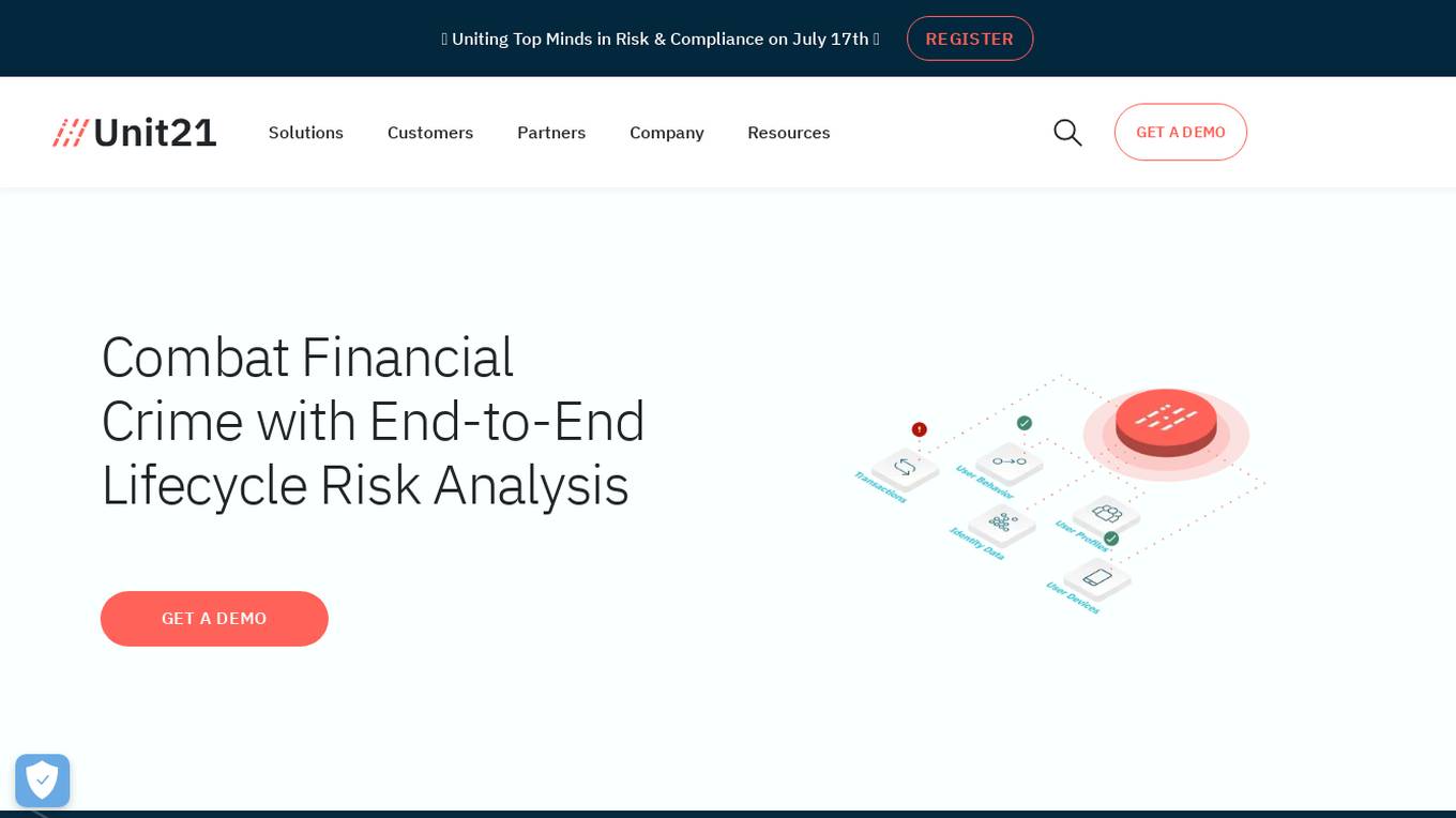
Unit21
Unit21 is a customizable no-code platform designed for risk and compliance operations. It empowers organizations to combat financial crime by providing end-to-end lifecycle risk analysis, fraud prevention, case management, and real-time monitoring solutions. The platform offers features such as AI Copilot for alert prioritization, Ask Your Data for data analysis, Watchlist & Sanctions for ongoing screening, and more. Unit21 focuses on fraud prevention and AML compliance, simplifying operations and accelerating investigations to respond to financial threats effectively and efficiently.

CARCO
CARCO is an advanced Mobile AI Fraud Prevention application designed to protect insurance carriers and consumers by identifying and preventing risk events and fraudulent activities. The application streamlines the inspection process through integrated AI and fraud alert validation technology, providing a back-office solution that is easily integrated into mobile platforms, cost-effective, and fraud-detecting. CARCO also offers NMVTIS, a premier system in the U.S. that requires reporting of vehicle title data. With over 50 million transactions completed to date, CARCO has a proven track record in fraud prevention and risk mitigation for the insurance industry.
Subex
Subex is a Telecom AI company that enables Connected Experiences for CFOs, CTOs, and CMOs. With over 25 years of experience, Subex helps Communications Service Providers (CSPs) worldwide maximize revenues and profitability by leveraging AI to create connected experiences in business ecosystems. The company offers AI solutions, including Business Assurance, Fraud and Security management, Network Analytics, Enterprise Cybersecurity, Enterprise Billing, and more. Subex is trusted by over 75% of the world's top 50 telcos and provides a range of industry-leading solutions to enhance operational efficiency and effectiveness.
SymphonyAI Financial Crime Prevention AI SaaS Solutions
SymphonyAI offers AI SaaS solutions for financial crime prevention, helping organizations detect fraud, conduct customer due diligence, and prevent payment fraud. Their solutions leverage generative and predictive AI to enhance efficiency and effectiveness in investigating financial crimes. SymphonyAI's products cater to industries like banking, insurance, financial markets, and private banking, providing rapid deployment, scalability, and seamless integration to meet regulatory compliance requirements.
FOCAL
FOCAL is an AI-driven platform designed for AML compliance and anti-fraud purposes. It offers solutions for verification, customer due diligence, fraud prevention, and financial insights. The platform leverages AI technology to streamline onboarding processes, enhance trust through advanced customer screening, and detect and prevent fraud using advanced AI algorithms. FOCAL is tailored to meet industry-specific needs, provides seamless integration with existing systems, and offers localized expertise with global standards for regulatory compliance.
Attestiv
Attestiv is an AI-powered digital content analysis and forensics platform that offers solutions to prevent fraud, losses, and cyber threats from deepfakes. The platform helps in reducing costs through automated photo, video, and document inspection and analysis, protecting company reputation, and monetizing trust in secure systems. Attestiv's technology provides validation and authenticity for all digital assets, safeguarding against altered photos, videos, and documents that are increasingly easy to create but difficult to detect. The platform uses patented AI technology to ensure the authenticity of uploaded media and offers sector-agnostic solutions for various industries.
NICE Actimize
NICE Actimize is an AI-driven platform that offers solutions for combatting financial crime, including Anti-Money Laundering (AML), Enterprise Fraud Management, Financial Markets Compliance, Investigation and Case Management, and Data Intelligence. The platform utilizes AI and machine learning to optimize efficacy, accuracy, and regulatory compliance coverage in the fight against financial crime.
Trust Stamp
Trust Stamp is an AI-powered digital identity solution that focuses on mitigating fraud through biometrics, privacy, and cybersecurity. The platform offers secure authentication and multi-factor authentication using biometric data, along with features like KYC/AML compliance, tokenization, and age estimation. Trust Stamp helps financial institutions, healthcare providers, dating platforms, and other industries prevent identity theft and fraud by providing innovative solutions for account recovery and user security.

iSEM.ai
iSEM.ai is an end-to-end AI-powered AML and Fraud Detection solution that empowers users to identify risks, investigate anomalies, and streamline reporting. The platform combines human intelligence with machine technology to adapt, reduce risks, and enhance efficiency in combating financial crimes. iSEM.ai offers tailored solutions to manage client data, onboard monitoring, client profile management, watchlist monitoring, transaction monitoring, transaction screening, and fraud monitoring. The application is designed to help businesses comply with regulations, detect suspicious activities, and ensure seamless protection at every step.
Feedzai
Feedzai is an AI-native Fraud & Financial Crime Prevention Platform that uses purpose-built AI to stop fraud and lower compliance costs. The platform covers the entire financial crime lifecycle, from account opening to fraud prevention to AML compliance. It applies behavioral analytics to detect and prevent fraud, reduces AML compliance costs, and empowers customers to stop scams before they happen. Feedzai is trusted by global financial leaders and helps protect billions of consumers worldwide while enabling better customer experiences.
Verisquad
Verisquad is an AI-powered platform that specializes in claim verification. It leverages advanced artificial intelligence algorithms to streamline and automate the process of verifying claims, ensuring accuracy and efficiency. By harnessing the power of AI, Verisquad offers a reliable solution for businesses and individuals seeking to validate claims quickly and effectively.