Satlas
Explore Earth's Changes with AI-Generated Geospatial Data
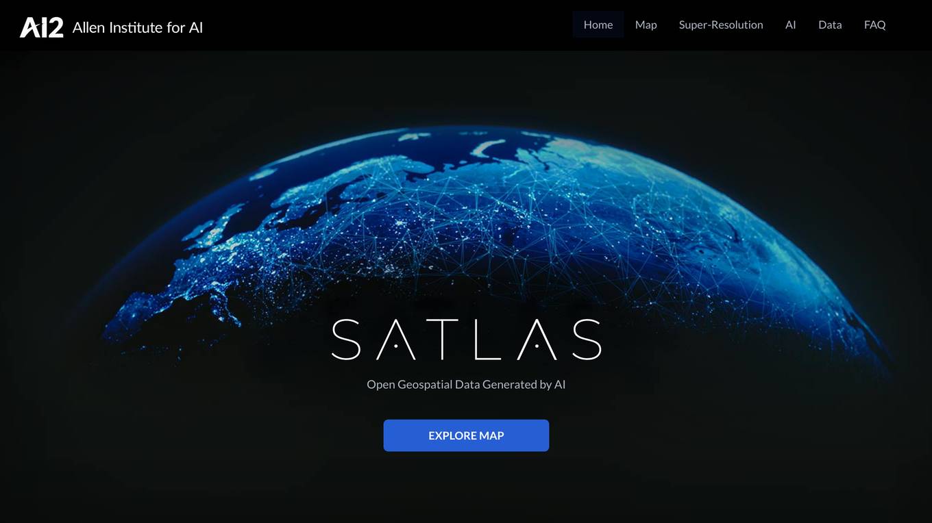
Satlas is an AI-powered platform that provides geospatial data generated by AI models. The platform offers insights into changes in marine infrastructure, renewable energy infrastructure, and tree cover on a monthly basis. Users can explore maps showcasing developments such as wind farms, solar farms, deforestation, and more. Satlas employs advanced AI architectures and training algorithms in computer vision to enhance low-resolution satellite imagery and produce high-resolution images globally. The platform's geospatial datasets are freely available for offline analysis, along with AI models and training labels. Developed by the Allen Institute for AI, Satlas aims to advance computer vision technology for better understanding and monitoring of Earth's changes.
For Tasks:
Click tags to check more tools for each tasksFor Jobs:
Features
Advantages
Disadvantages
Frequently Asked Questions
Alternative AI tools for Satlas
Similar sites
Satlas
Satlas is an AI-powered platform that provides geospatial data generated by AI models. The platform offers insights into changes in marine infrastructure, renewable energy infrastructure, and tree cover on a monthly basis. Users can explore maps showcasing developments such as wind farms, solar farms, deforestation, and more. Satlas employs advanced AI architectures and training algorithms in computer vision to enhance low-resolution satellite imagery and produce high-resolution images globally. The platform's geospatial datasets are freely available for offline analysis, along with AI models and training labels. Developed by the Allen Institute for AI, Satlas aims to advance computer vision technology for better understanding and monitoring of Earth's changes.
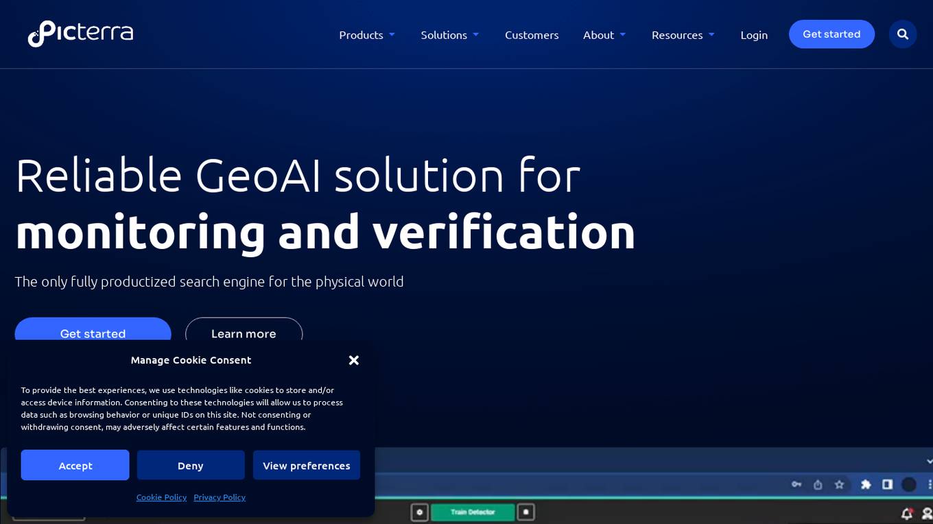
Picterra
Picterra is a geospatial AI platform that offers reliable solutions for sustainability, compliance, monitoring, and verification. It provides an all-in-one plot monitoring system, professional services, and interactive tours. Users can build custom AI models to detect objects, changes, or patterns using various geospatial imagery data. Picterra aims to revolutionize geospatial analysis with its category-leading AI technology, enabling users to solve challenges swiftly, collaborate more effectively, and scale further.
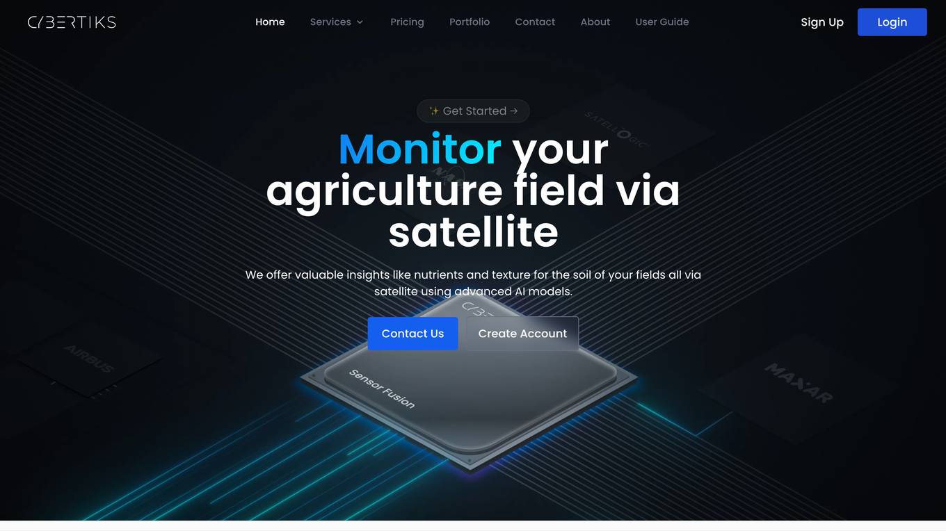
Cybertiks
Cybertiks is an AI-powered platform that offers remote monitoring and analysis of agriculture fields using satellite imagery. The platform provides valuable insights such as soil nutrients and texture, tailored AI models for accurate metrics, historical data analysis, and visualization of results on a map. Cybertiks integrates various data sources, including optical and radar data, to deliver comprehensive and strategic information to clients. The platform utilizes quantum-enabled artificial intelligence for material detection, classification, and quantification. With a focus on tailored solutions, Cybertiks empowers clients with expert knowledge in agriculture, artificial intelligence, and software development.
Blackshark.ai
Blackshark.ai is an AI-based platform that generates real-time accurate semantic photorealistic 3D digital twin of the entire planet. The platform extracts insights about the planet's infrastructure from satellite and aerial imagery via machine learning at a global scale. It enriches missing attributes using AI to provide a photorealistic, geo-typical, or asset-specific digital twin. The results can be used for visualization, simulation, mapping, mixed reality environments, and other enterprise solutions. The platform offers end-to-end geospatial solutions, including globe data input sources, no-code data labeling, geointelligence at scale, 3D semantic map, and synthetic environments.
FlyPix
FlyPix is an AI-enabled geospatial solutions platform that leverages advanced AI technology to transform object detection, localization, tracking, and monitoring in the field of geospatial technology. The platform offers a wide range of capabilities, including AI-driven object analysis, change and anomaly detection, dynamic tracking, and custom use cases tailored to meet unique industry needs. FlyPix aims to provide unparalleled precision and efficiency in operations by converting complex imagery into actionable, geo-referenced insights.
Voxel51
Voxel51 is an AI tool that provides open-source computer vision tools for machine learning. It offers solutions for various industries such as agriculture, aviation, driving, healthcare, manufacturing, retail, robotics, and security. Voxel51's main product, FiftyOne, helps users explore, visualize, and curate visual data to improve model performance and accelerate the development of visual AI applications. The platform is trusted by thousands of users and companies, offering both open-source and enterprise-ready solutions to manage and refine data and models for visual AI.
Derwen
Derwen is an open-source integration platform for production machine learning in enterprise, specializing in natural language processing, graph technologies, and decision support. It offers expertise in developing knowledge graph applications and domain-specific authoring. Derwen collaborates closely with Hugging Face and provides strong data privacy guarantees, low carbon footprint, and no cloud vendor involvement. The platform aims to empower AI engineers and domain experts with quality, time-to-value, and ownership since 2017.
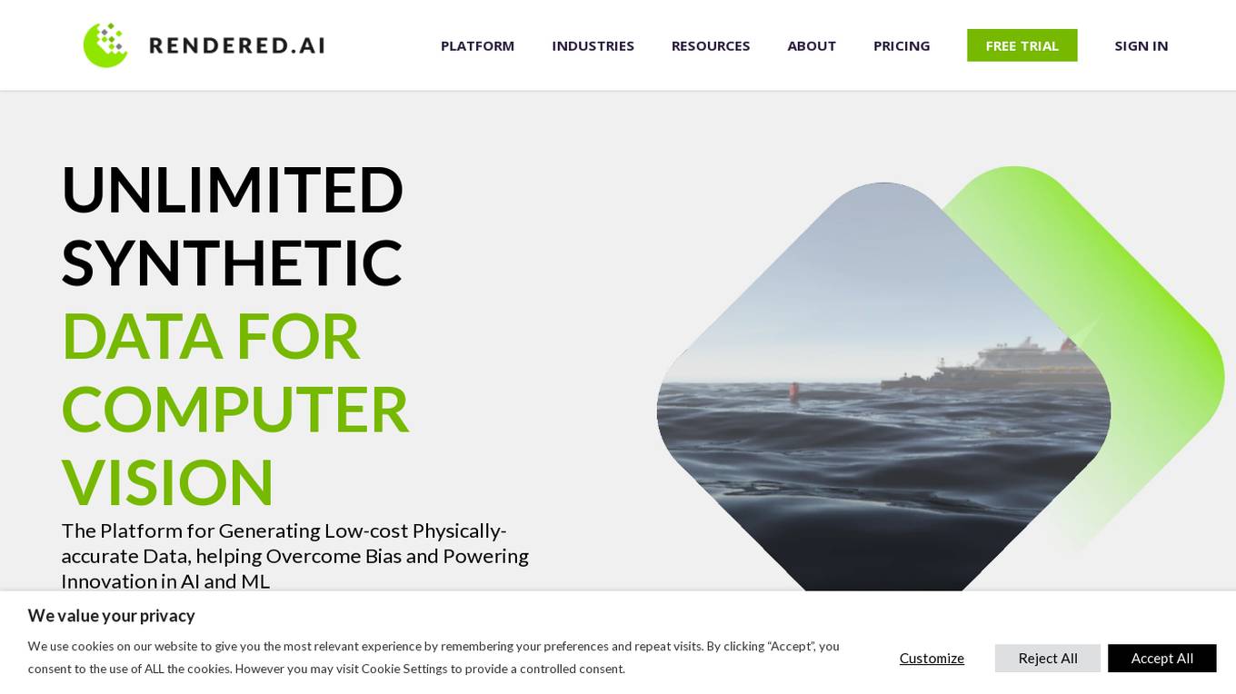
Rendered.ai
Rendered.ai is a platform that provides unlimited synthetic data for AI and ML applications, specifically focusing on computer vision. It helps in generating low-cost physically-accurate data to overcome bias and power innovation in AI and ML. The platform allows users to capture rare events and edge cases, acquire data that is difficult to obtain, overcome data labeling challenges, and simulate restricted or high-risk scenarios. Rendered.ai aims to revolutionize the use of synthetic data in AI and data analytics projects, with a vision that by 2030, synthetic data will surpass real data in AI models.
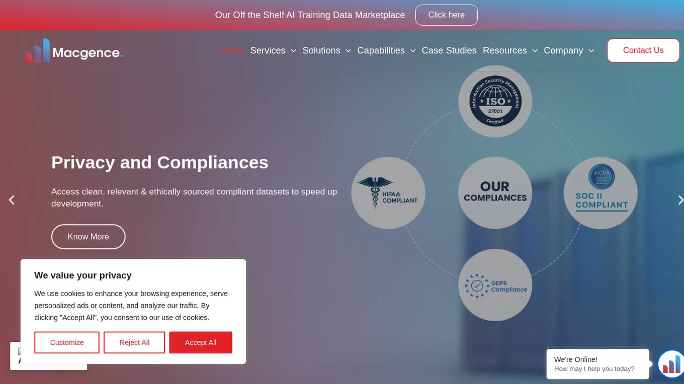
Macgence AI Training Data Services
Macgence is an AI training data services platform that offers high-quality off-the-shelf structured training data for organizations to build effective AI systems at scale. They provide services such as custom data sourcing, data annotation, data validation, content moderation, and localization. Macgence combines global linguistic, cultural, and technological expertise to create high-quality datasets for AI models, enabling faster time-to-market across the entire model value chain. With more than 5 years of experience, they support and scale AI initiatives of leading global innovators by designing custom data collection programs. Macgence specializes in handling AI training data for text, speech, image, and video data, offering cognitive annotation services to unlock the potential of unstructured textual data.
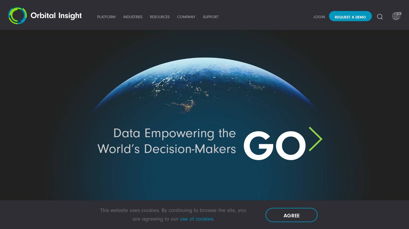
Orbital Insight GO Platform
Orbital Insight is a leading geospatial data analytics platform that provides users with the ability to query the world with three basic parameters: WHAT type of activity? WHERE on earth? WHEN? The platform automates the most difficult steps of deriving insights, allowing you to answer many challenging geospatial questions. Orbital Insight's GO platform is designed for enterprise collaboration and transforms multiple geospatial data sources to accelerate and streamline team member's research, reporting, due diligence, and more.
Synthesis AI
Synthesis AI is a synthetic data platform that enables more capable and ethical computer vision AI. It provides on-demand labeled images and videos, photorealistic images, and 3D generative AI to help developers build better models faster. Synthesis AI's products include Synthesis Humans, which allows users to create detailed images and videos of digital humans with rich annotations; Synthesis Scenarios, which enables users to craft complex multi-human simulations across a variety of environments; and a range of applications for industries such as ID verification, automotive, avatar creation, virtual fashion, AI fitness, teleconferencing, visual effects, and security.
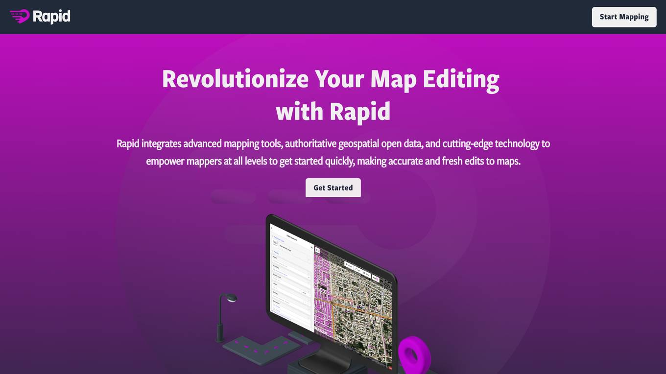
Rapid Editor
Rapid Editor is an advanced mapping tool that revolutionizes map editing by integrating cutting-edge technology and authoritative geospatial open data. It empowers OpenStreetMap mappers of all levels to quickly make accurate and fresh edits to maps. The tool saves effort by tapping into open data and AI-predicted features to draw map geometry, provides AI-analyzed satellite imagery for a high-level overview of unmapped areas, and displays open map data and machine learning detections in an intuitive user interface. Rapid Editor is designed to help map the world efficiently and is supported by a strong community of humanitarian and community groups.
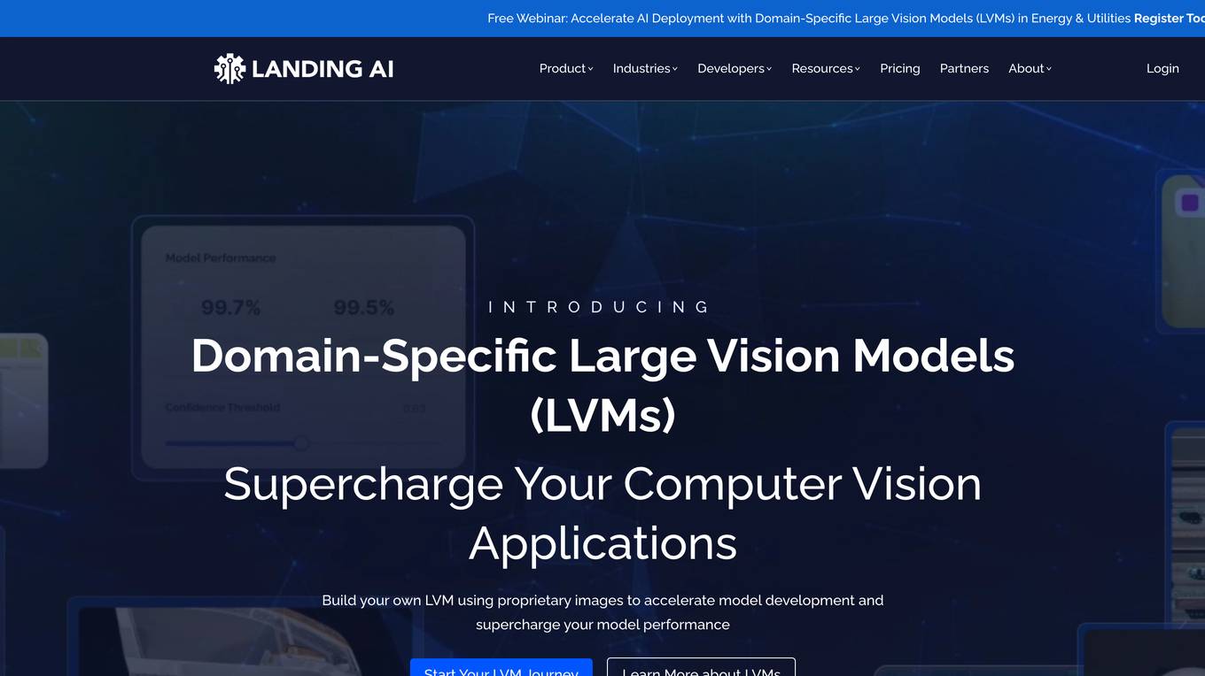
Landing AI
Landing AI is a computer vision platform and AI software company that provides a cloud-based platform for building and deploying computer vision applications. The platform includes a library of pre-trained models, a set of tools for data labeling and model training, and a deployment service that allows users to deploy their models to the cloud or edge devices. Landing AI's platform is used by a variety of industries, including automotive, electronics, food and beverage, medical devices, life sciences, agriculture, manufacturing, infrastructure, and pharma.
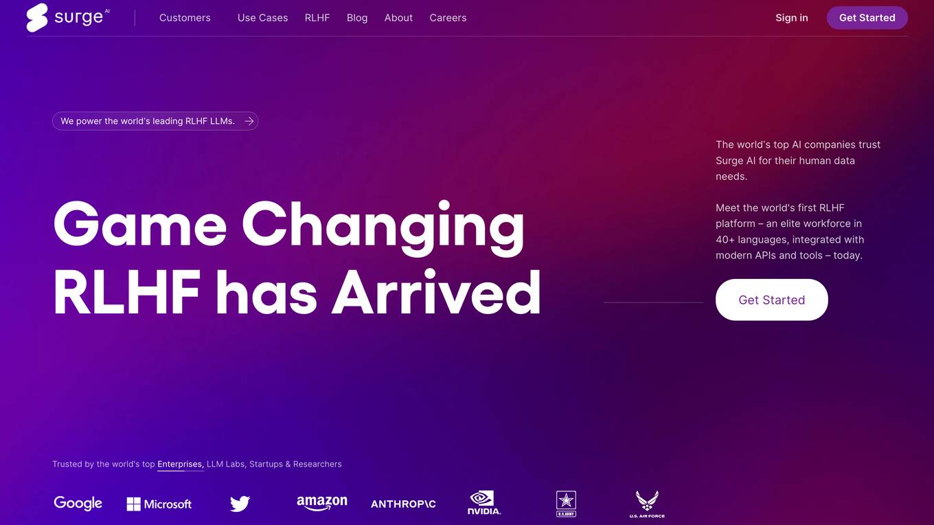
Surge AI
Surge AI is a data labeling platform that provides human-generated data for training and evaluating large language models (LLMs). It offers a global workforce of annotators who can label data in over 40 languages. Surge AI's platform is designed to be easy to use and integrates with popular machine learning tools and frameworks. The company's customers include leading AI companies, research labs, and startups.

DagsHub
DagsHub is an open source data science collaboration platform that helps AI teams build better models and manage data projects. It provides a central location for data, code, experiments, and models, making it easy for teams to collaborate and track their progress. DagsHub also integrates with a variety of popular data science tools and frameworks, making it a powerful tool for data scientists and machine learning engineers.
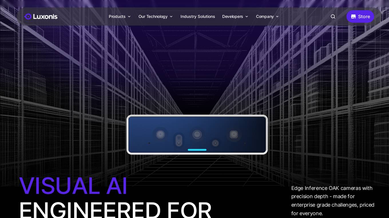
Luxonis
Luxonis is an AI application that offers Visual AI solutions engineered for precision edge inference. The application provides stereo depth cameras with unique features and quality, enabling users to perform advanced vision tasks on-device, reducing latency and bandwidth demands. With open-source DepthAI API, users can create and deploy custom vision solutions that scale with their needs. Luxonis also offers real-world training data for self-improving vision intelligence and operates flawlessly through vibrations, temperature shifts, and extended use. The application integrates advanced sensing capabilities with up to 48MP cameras, wide field of view, IMUs, microphones, ToF, thermal, IR illumination, and active stereo for unparalleled perception.
For similar tasks
Satlas
Satlas is an AI-powered platform that provides geospatial data generated by AI models. The platform offers insights into changes in marine infrastructure, renewable energy infrastructure, and tree cover on a monthly basis. Users can explore maps showcasing developments such as wind farms, solar farms, deforestation, and more. Satlas employs advanced AI architectures and training algorithms in computer vision to enhance low-resolution satellite imagery and produce high-resolution images globally. The platform's geospatial datasets are freely available for offline analysis, along with AI models and training labels. Developed by the Allen Institute for AI, Satlas aims to advance computer vision technology for better understanding and monitoring of Earth's changes.
For similar jobs
Satlas
Satlas is an AI-powered platform that provides geospatial data generated by AI models. The platform offers insights into changes in marine infrastructure, renewable energy infrastructure, and tree cover on a monthly basis. Users can explore maps showcasing developments such as wind farms, solar farms, deforestation, and more. Satlas employs advanced AI architectures and training algorithms in computer vision to enhance low-resolution satellite imagery and produce high-resolution images globally. The platform's geospatial datasets are freely available for offline analysis, along with AI models and training labels. Developed by the Allen Institute for AI, Satlas aims to advance computer vision technology for better understanding and monitoring of Earth's changes.
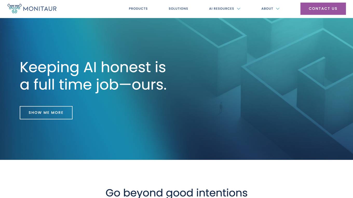
Monitaur
Monitaur is an AI governance software that provides a comprehensive platform for organizations to manage the entire lifecycle of their AI systems. It brings together data, governance, risk, and compliance teams onto one platform to mitigate AI risk, leverage full potential, and turn intention into action. Monitaur's SaaS products offer user-friendly workflows that document the lifecycle of AI journey on one platform, providing a single source of truth for AI that stays honest.

SpatialBrowser
SpatialBrowser is a web application that provides spatial browsing capabilities for users to explore and analyze spatial data. The platform allows users to visualize geographic information, perform spatial analysis, and create interactive maps. With SpatialBrowser, users can easily navigate through spatial datasets, conduct geospatial queries, and gain insights from the data. The application is designed to be user-friendly and intuitive, making it suitable for both beginners and advanced users in various industries such as urban planning, environmental management, and business analytics.
Cybertiks
Cybertiks is an AI-powered platform that offers remote monitoring and analysis of agriculture fields using satellite imagery. The platform provides valuable insights such as soil nutrients and texture, tailored AI models for accurate metrics, historical data analysis, and visualization of results on a map. Cybertiks integrates various data sources, including optical and radar data, to deliver comprehensive and strategic information to clients. The platform utilizes quantum-enabled artificial intelligence for material detection, classification, and quantification. With a focus on tailored solutions, Cybertiks empowers clients with expert knowledge in agriculture, artificial intelligence, and software development.