Best AI tools for< Geospatial Researcher >
Infographic
20 - AI tool Sites
Satlas
Satlas is an AI-powered platform that provides geospatial data generated by AI models. The platform offers insights into changes in marine infrastructure, renewable energy infrastructure, and tree cover on a monthly basis. Users can explore maps showcasing developments such as wind farms, solar farms, deforestation, and more. Satlas employs advanced AI architectures and training algorithms in computer vision to enhance low-resolution satellite imagery and produce high-resolution images globally. The platform's geospatial datasets are freely available for offline analysis, along with AI models and training labels. Developed by the Allen Institute for AI, Satlas aims to advance computer vision technology for better understanding and monitoring of Earth's changes.
FlyPix
FlyPix is an AI-enabled geospatial solutions platform that leverages advanced AI technology to transform object detection, localization, tracking, and monitoring in the field of geospatial technology. The platform offers a wide range of capabilities, including AI-driven object analysis, change and anomaly detection, dynamic tracking, and custom use cases tailored to meet unique industry needs. FlyPix aims to provide unparalleled precision and efficiency in operations by converting complex imagery into actionable, geo-referenced insights.
Bayanat
Bayanat is an AI-powered geospatial intelligence company that offers predictive intelligence solutions, smart operations solutions, and smart mobility solutions to various sectors such as defense, environment, energy & resources, smart cities, and transportation. With over 50 years of experience, Bayanat provides high-quality geospatial data, geo-intelligence, and AI-powered data analytics to drive human progress and create game-changing advantages for its clients in the UAE, the Middle East, and beyond.
GeoInfer
GeoInfer is a professional AI-powered geolocation platform that analyzes photographs to determine where they were taken. It uses visual-only inference technology to examine visual elements like architecture, terrain, vegetation, and environmental markers to identify geographic locations without requiring GPS metadata or EXIF data. The platform offers transparent accuracy levels for different use cases, including a Global Model with 1km-100km accuracy ideal for regional and city-level identification. Additionally, GeoInfer provides custom regional models for organizations requiring higher precision, such as meter-level accuracy for specific geographic areas. The platform is designed for professionals in various industries, including law enforcement, insurance fraud investigation, digital forensics, and security research.
SheetBot AI
SheetBot AI is an AI data analyst tool that enables users to analyze data quickly without the need for coding. It automates repetitive and time-consuming data tasks, making data visualization and analysis more efficient. With SheetBot AI, users can generate accurate and visually appealing graphs in seconds, streamlining the data analysis process.

Gemini AI
Gemini AI is an AI and ML solutions provider that accelerates innovation through artificial intelligence. The company leads the revolution of artificial intelligence for augmented intelligence, leveraging cutting-edge AI and ML to solve challenging problems and augment human intelligence. Gemini AI specializes in areas such as computer vision, geospatial science, human health, and integrative technologies. Their services include data and sensors analysis, modeling with deep learning techniques, and deployment of predictive models for real-time insights.
Nucleai
Nucleai is an AI-driven spatial biomarker analysis tool that leverages military intelligence-grade geospatial AI methods to analyze complex cellular interactions in a patient's biopsy. The platform offers a first-of-its-kind multimodal solution by ingesting images from various modalities and delivering actionable insights to optimize biomarker scoring, predict response to therapy, and revolutionize disease diagnosis and treatment.
ChartFast
ChartFast is an AI Data Analyzer tool that automates data visualization and analysis tasks, powered by GPT-4 technology. It allows users to generate precise and sleek graphs in seconds, process vast amounts of data, and provide interactive data queries and quick exports. With features like specialized internal libraries for complex graph generation, customizable visualization code, and instant data export, ChartFast aims to streamline data work and enhance data analysis efficiency.
Orbital Insight GO Platform
Orbital Insight is a leading geospatial data analytics platform that provides users with the ability to query the world with three basic parameters: WHAT type of activity? WHERE on earth? WHEN? The platform automates the most difficult steps of deriving insights, allowing you to answer many challenging geospatial questions. Orbital Insight's GO platform is designed for enterprise collaboration and transforms multiple geospatial data sources to accelerate and streamline team member's research, reporting, due diligence, and more.
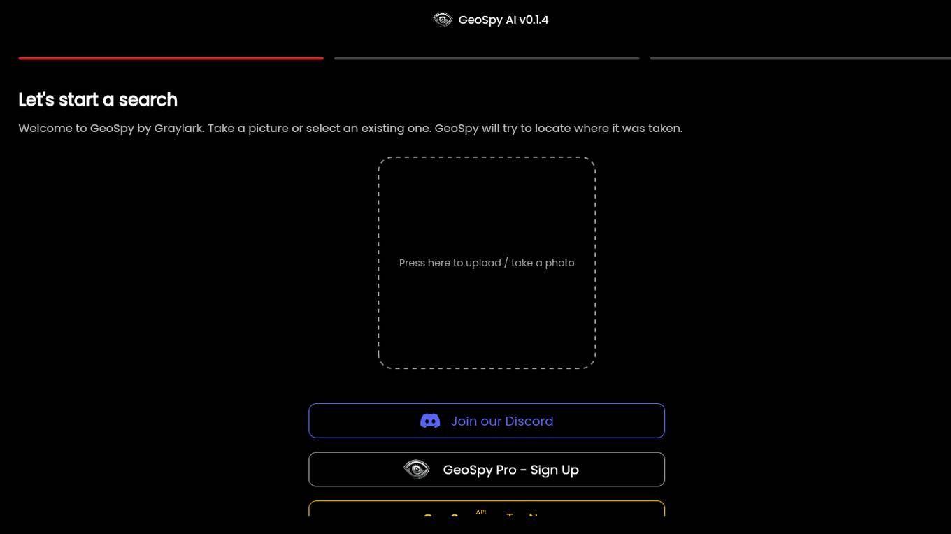
GeoSpy.ai
GeoSpy.ai is a web-based geospatial intelligence platform that provides users with access to a variety of geospatial data and tools. The platform allows users to create and share maps, analyze data, and collaborate with others. GeoSpy.ai is used by a variety of professionals, including law enforcement, intelligence analysts, and environmental scientists.
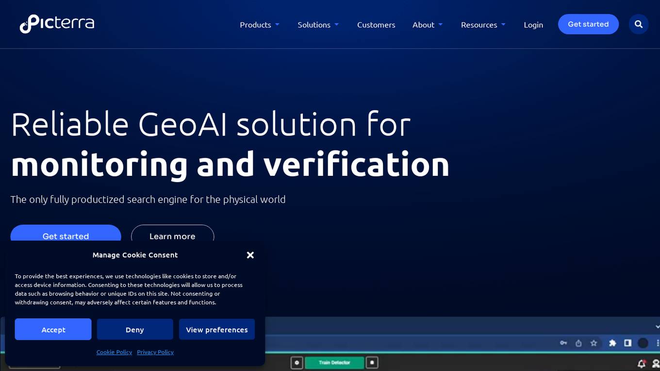
Picterra
Picterra is a geospatial AI platform that offers reliable solutions for sustainability, compliance, monitoring, and verification. It provides an all-in-one plot monitoring system, professional services, and interactive tours. Users can build custom AI models to detect objects, changes, or patterns using various geospatial imagery data. Picterra aims to revolutionize geospatial analysis with its category-leading AI technology, enabling users to solve challenges swiftly, collaborate more effectively, and scale further.
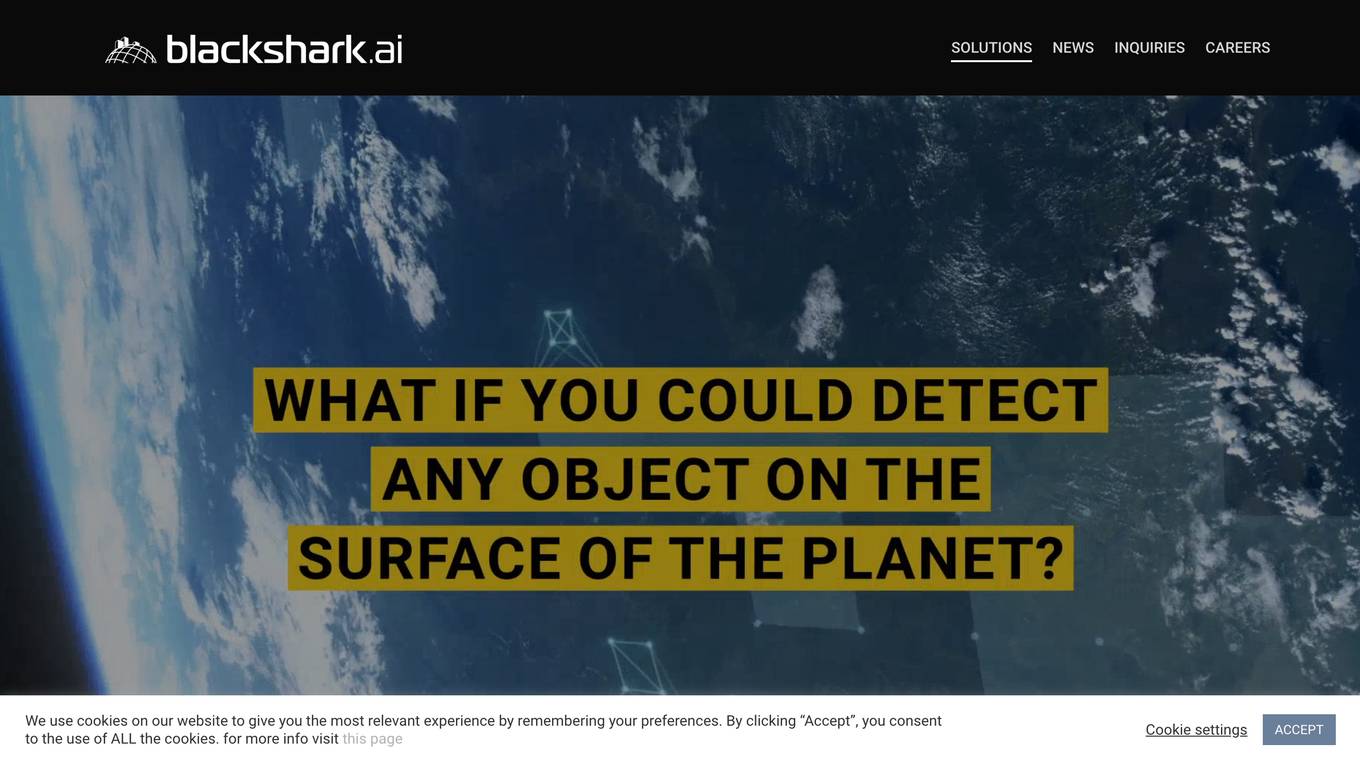
Blackshark.ai
Blackshark.ai is an AI-based platform that generates real-time accurate semantic photorealistic 3D digital twin of the entire planet. The platform extracts insights about the planet's infrastructure from satellite and aerial imagery via machine learning at a global scale. It enriches missing attributes using AI to provide a photorealistic, geo-typical, or asset-specific digital twin. The results can be used for visualization, simulation, mapping, mixed reality environments, and other enterprise solutions. The platform offers end-to-end geospatial solutions, including globe data input sources, no-code data labeling, geointelligence at scale, 3D semantic map, and synthetic environments.
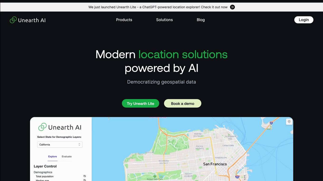
Unearth AI
Unearth AI is a platform offering geospatial data and location solutions. It provides various products like Unearth Lite, Unearth Insights, and Unearth Platform to cater to different needs. Unearth Lite is a ChatGPT-powered location explorer that offers a simple dashboard to explore locations worldwide. The platform aims to democratize geospatial data and is trusted by fast-growing businesses. With modern location solutions powered by AI, Unearth AI is revolutionizing the way businesses interact with and analyze location-based data.
Pointly
Pointly is an intelligent, cloud-based B2B software solution that enables efficient automatic and advanced manual classification in 3D point clouds. It offers innovative AI techniques for fast and precise data classification and vectorization, transforming point cloud analysis into an enjoyable and efficient workflow. Pointly provides standard and custom classifiers, tools for classification and vectorization, API and on-premise classification options, collaboration features, secure cloud processing, and scalability for handling large-scale point cloud data.
Terragentic
Terragentic is an AI-driven geospatial technology company that empowers sustainable resource management and transformative decision-making. They provide cutting-edge geospatial services, precise mapping, advanced data analytics, and innovative applications of artificial intelligence to solve complex challenges across diverse sectors. Terragentic is committed to environmental stewardship, ethical business practices, and delivering high-quality, AI-enhanced, accurate, and actionable geospatial intelligence to empower industries.
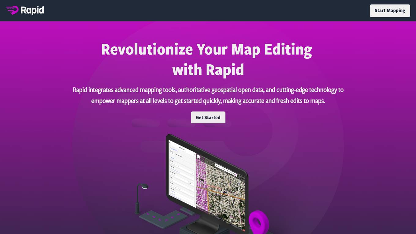
Rapid Editor
Rapid Editor is an advanced mapping tool that revolutionizes map editing by integrating cutting-edge technology and authoritative geospatial open data. It empowers OpenStreetMap mappers of all levels to make accurate and fresh edits quickly. The tool saves effort by utilizing AI to identify predicted features and provide a high-level overview of unmapped data globally. Rapid Editor's intuitive interface simplifies mapping, making it clear and simple for humanitarian and community groups to facilitate mapping projects.
HEAVY.AI
HEAVY.AI is a cutting-edge analytics and location intelligence platform that empowers users to make time-sensitive, high-impact decisions over vast datasets. The platform offers Conversational Analytics, enabling users to ask questions about their data in natural language and view actionable visualizations instantly. With HeavyEco, the platform also supports emergency response efforts by streamlining the management of weather events. HEAVY.AI combines interactive visual analytics, hardware-accelerated SQL, and advanced analytics & data science framework to uncover hidden opportunities and risks within enterprise datasets.

SpatialBrowser
SpatialBrowser is a web application that provides spatial browsing capabilities for users to explore and analyze spatial data. The platform allows users to visualize geographic information, perform spatial analysis, and create interactive maps. With SpatialBrowser, users can easily navigate through spatial datasets, conduct geospatial queries, and gain insights from the data. The application is designed to be user-friendly and intuitive, making it suitable for both beginners and advanced users in various industries such as urban planning, environmental management, and business analytics.
Rapid Editor
Rapid Editor is an advanced mapping tool that revolutionizes map editing by integrating cutting-edge technology and authoritative geospatial open data. It empowers OpenStreetMap mappers of all levels to quickly make accurate and fresh edits to maps. The tool saves effort by tapping into open data and AI-predicted features to draw map geometry, provides AI-analyzed satellite imagery for a high-level overview of unmapped areas, and displays open map data and machine learning detections in an intuitive user interface. Rapid Editor is designed to help map the world efficiently and is supported by a strong community of humanitarian and community groups.
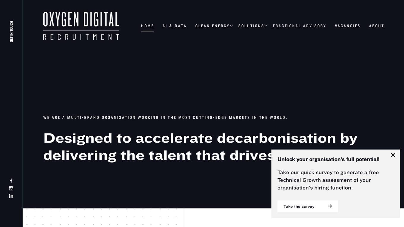
Oxygen Digital Recruitment
Oxygen Digital Recruitment is a specialized AI and Data Science recruitment platform that focuses on providing talent solutions for cutting-edge markets, including Geospatial & ESG, Energy Trading, Renewable Energy, Artificial Intelligence, and Data Science. The platform offers various services such as Permanent Search, Embedded Specialist Talent, Short-term Staffing, Retained Search, and Fractional Advisory. Oxygen Digital aims to accelerate decarbonization by delivering top talent to drive change in the industry. The platform collaborates with start-ups, scale-ups, and global enterprises to build domain-specific innovation teams, providing access to deep passive networks and the ability to hire blended workforces.
0 - Open Source Tools
7 - OpenAI Gpts
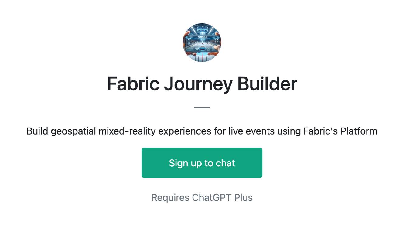
Fabric Journey Builder
Build geospatial mixed-reality experiences for live events using Fabric's Platform
GIS GPT
Expert in GIS, guiding users through learning, troubleshooting, automation and practical applications.