Best AI tools for< Urban Planner >
Infographic
26 - AI tool Sites
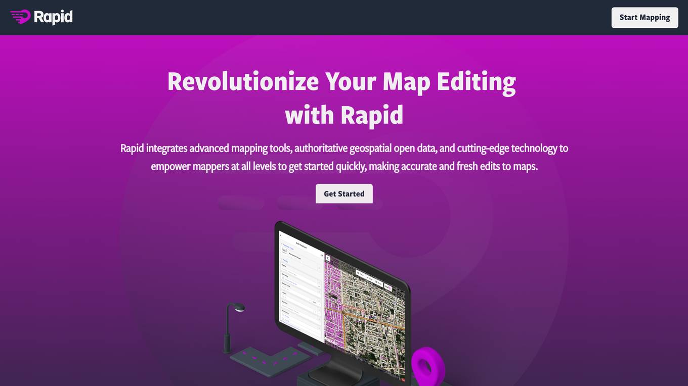
Rapid Editor
Rapid Editor is an advanced mapping tool that revolutionizes map editing by integrating cutting-edge technology and authoritative geospatial open data. It empowers OpenStreetMap mappers of all levels to quickly make accurate and fresh edits to maps. The tool saves effort by tapping into open data and AI-predicted features to draw map geometry, provides AI-analyzed satellite imagery for a high-level overview of unmapped areas, and displays open map data and machine learning detections in an intuitive user interface. Rapid Editor is designed to help map the world efficiently and is supported by a strong community of humanitarian and community groups.

SpatialBrowser
SpatialBrowser is a web application that provides spatial browsing capabilities for users to explore and analyze spatial data. The platform allows users to visualize geographic information, perform spatial analysis, and create interactive maps. With SpatialBrowser, users can easily navigate through spatial datasets, conduct geospatial queries, and gain insights from the data. The application is designed to be user-friendly and intuitive, making it suitable for both beginners and advanced users in various industries such as urban planning, environmental management, and business analytics.
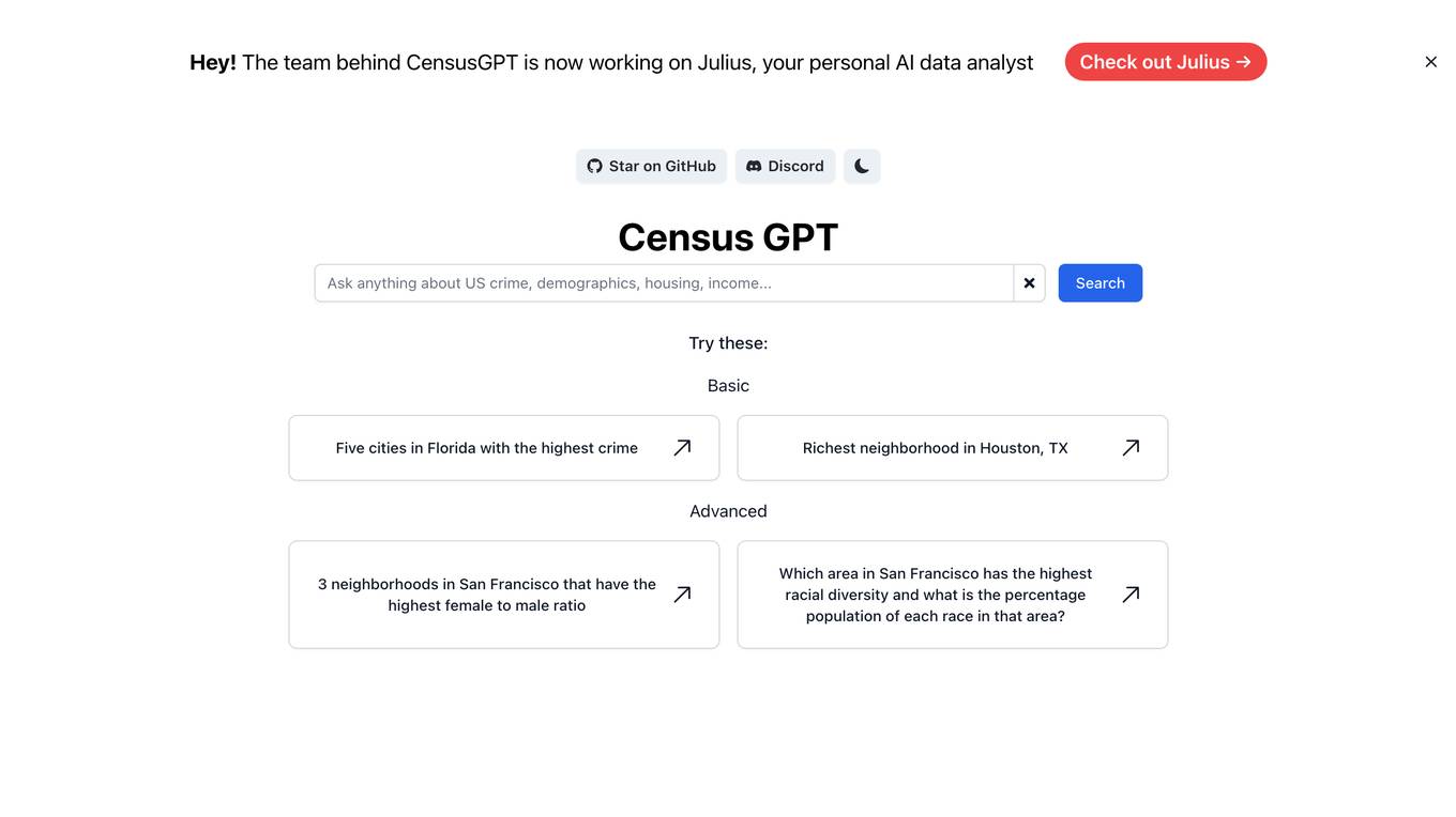
Census GPT
Census GPT is an AI tool that provides data analysis services based on census information in the USA. It offers insights on crime rates, demographics, income levels, education levels, and population statistics. Users can ask specific questions related to various locations and receive detailed answers generated by the AI.
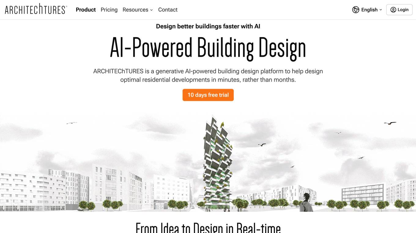
Architechtures
Architechtures is a generative AI-powered building design platform that helps architects and real estate developers design optimal residential developments in minutes. The platform uses AI technology to provide instant insights, regulatory confidence, and rapid iterations for architectural projects. Users can input design criteria, model solutions in 2D and 3D, and receive real-time architectural solutions that best fit their standards. Architechtures facilitates a collaborative design process between users and Artificial Intelligence, enabling efficient decision-making and control over design aspects.
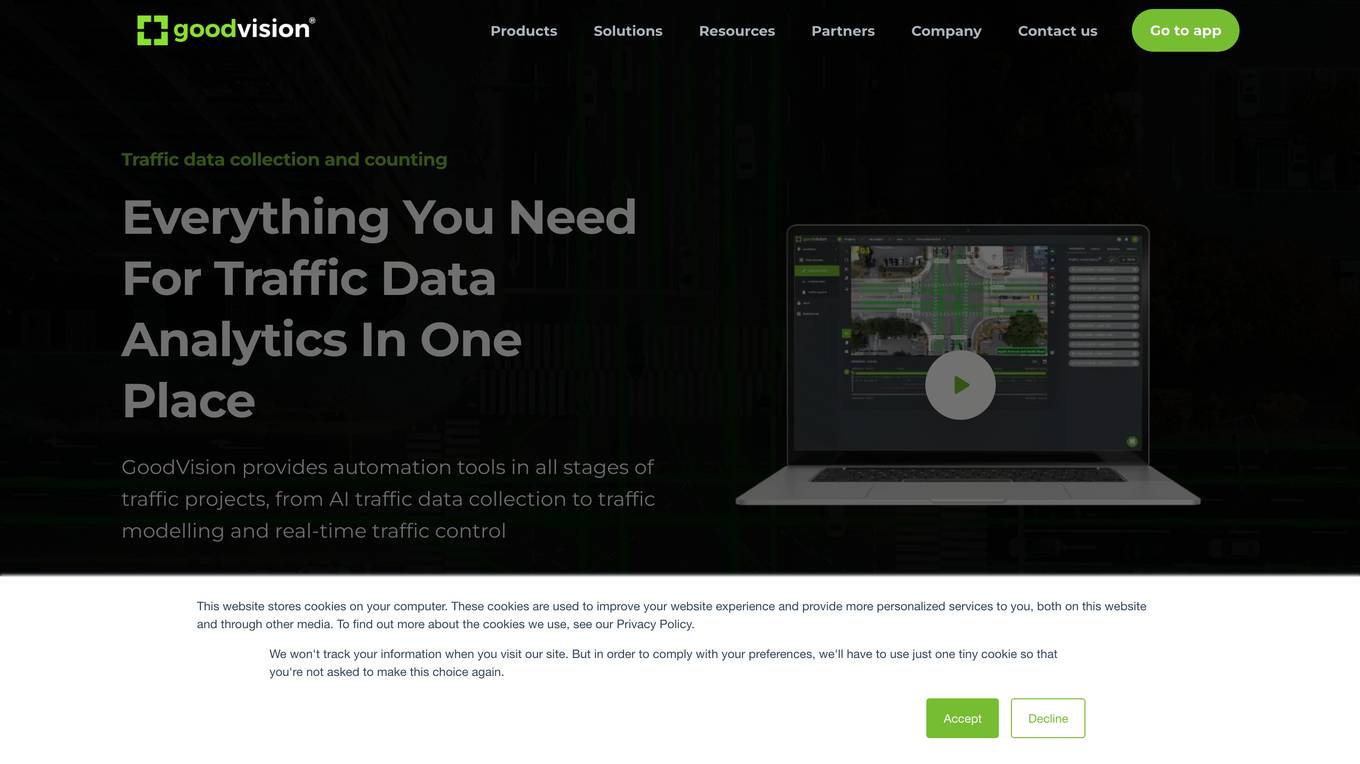
GoodVision
GoodVision is an AI-driven traffic solutions platform that empowers cities to prevent congestion, enhance safety, and optimize traffic flow using real-time camera-based analytics. The platform offers a range of products and services, including real-time traffic monitoring, automatic incident detection, traffic data collection from cameras and drones, and traffic data analytics for traffic modeling. GoodVision's cutting-edge solutions provide cities with the tools they need to make data-driven decisions and improve traffic management.
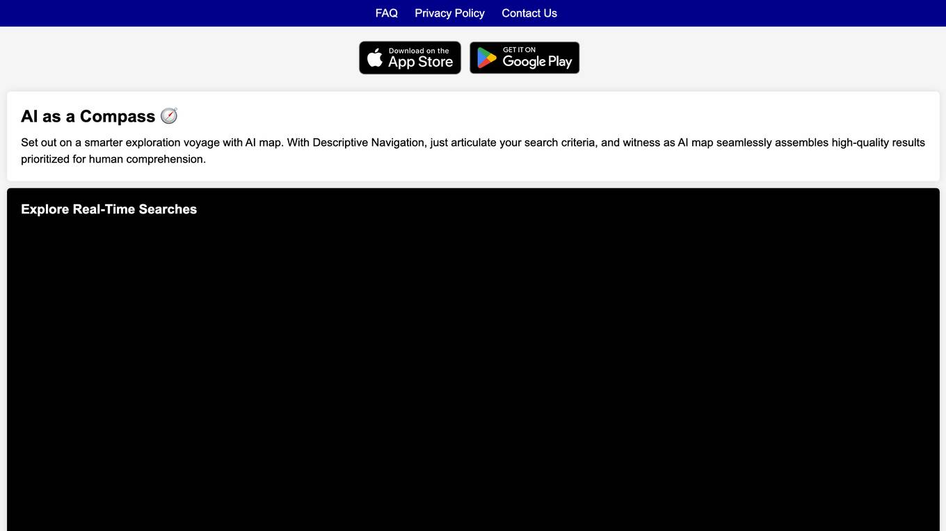
AI map
AI map is an innovative AI tool that offers smarter maps with descriptive navigation. Users can set out on a smarter exploration voyage by articulating their search criteria and witnessing AI map seamlessly assembling high-quality results prioritized for human comprehension. The application provides real-time search guides to enhance the user experience.
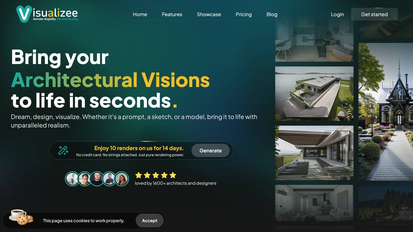
Visualizee.ai
Visualizee.ai is the #1 AI rendering tool that transforms sketches, images, 3D models, or text prompts into realistic renders in just 10 seconds. It offers tools to enhance creativity, such as converting low-detail models into high-resolution renders, inpainting missing parts of images, and upscaling image resolution without compromising detail. With pricing plans starting at $9, Visualizee.ai is trusted by over 2100 architects and designers for its ease of use and efficiency in generating renders. The application allows users to create unlimited renders, work directly on 3D models, and iterate quickly to achieve perfect results, making it an essential tool for architects and designers.
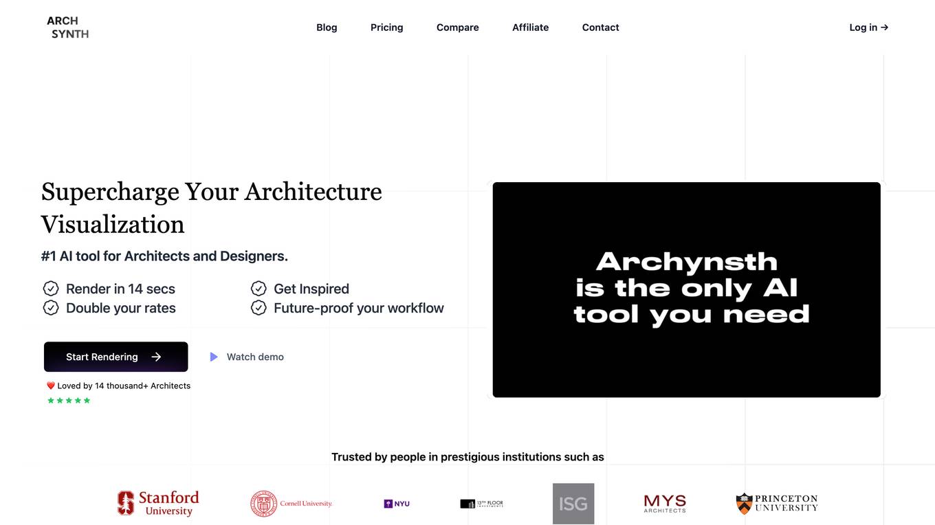
Archsynth
Archsynth is an AI-powered tool that helps architects and designers convert their sketches into realistic renders in seconds. It uses cutting-edge technology to enhance efficiency and image quality, allowing users to save time and money. With Archsynth, users can transform their ideas into stunning visuals effortlessly, explore multiple variations, and fine-tune their style with prebuilt templates. Trusted by over 14,000 architects, Archsynth is the #1 AI tool for architecture visualization.
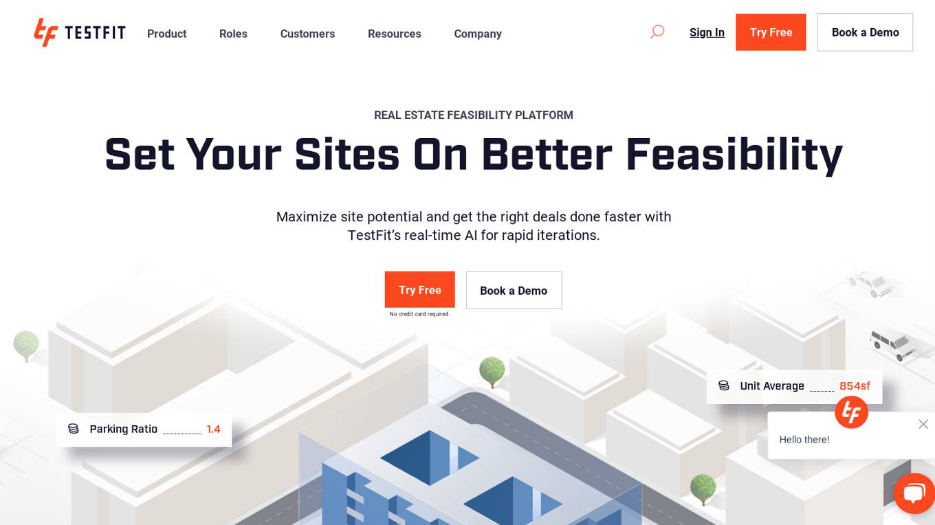
TestFit
TestFit is a real estate feasibility platform that uses AI to help developers, architects, contractors, and brokers evaluate deals and make better decisions. It provides real-time insights into design, cost, and constructability, and integrates with a variety of other software tools. TestFit can help users save time and money, and make more informed decisions about their real estate projects.
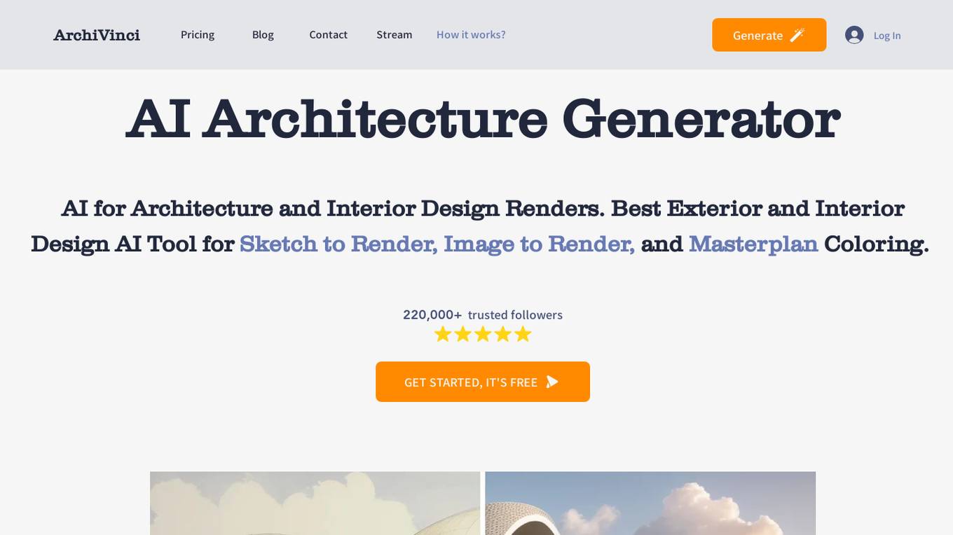
ArchiVinci
ArchiVinci is an innovative suite of AI-driven design tools encompassing the Sketch to Architectural Render AI Tool, Exterior Design AI Tool, Interior Design AI Tool, and Landscape Design AI Tool. It empowers users to effortlessly transform sketches into detailed architectural designs and enhance various aspects of design, from exteriors to interiors and landscapes.
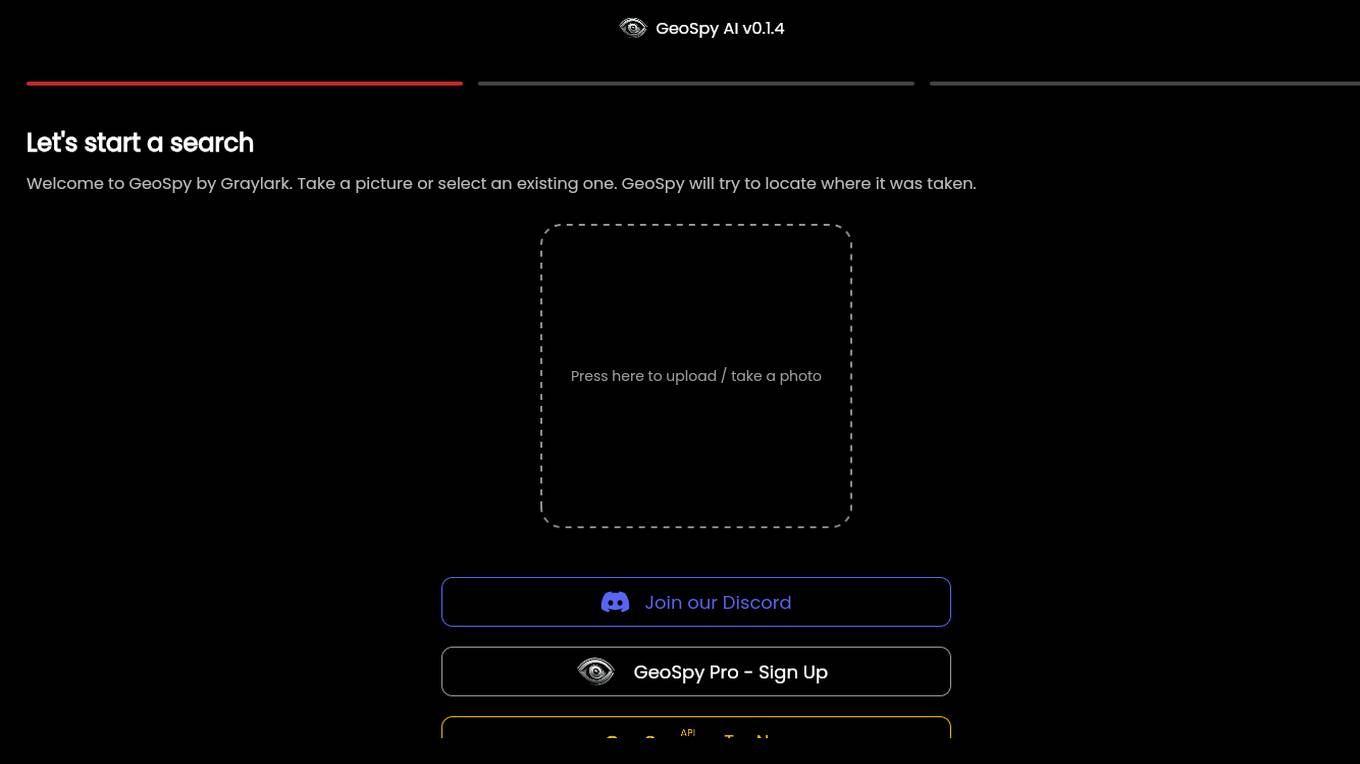
GeoSpy.ai
GeoSpy.ai is a web-based geospatial intelligence platform that provides users with access to a variety of geospatial data and tools. The platform allows users to create and share maps, analyze data, and collaborate with others. GeoSpy.ai is used by a variety of professionals, including law enforcement, intelligence analysts, and environmental scientists.
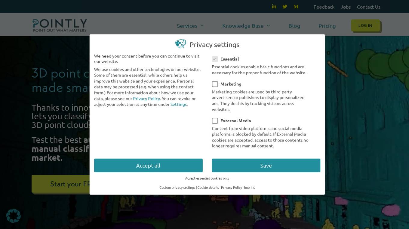
Pointly
Pointly is an intelligent, cloud-based B2B software solution that enables efficient automatic and advanced manual classification in 3D point clouds. It offers innovative AI techniques for fast and precise data classification and vectorization, transforming point cloud analysis into an enjoyable and efficient workflow. Pointly provides standard and custom classifiers, tools for classification and vectorization, API and on-premise classification options, collaboration features, secure cloud processing, and scalability for handling large-scale point cloud data.

Minimap.ai
Minimap.ai is an innovative AI-powered tool designed to provide users with detailed and accurate maps for various purposes. The tool utilizes advanced artificial intelligence algorithms to analyze and process geographical data, enabling users to generate customized maps quickly and efficiently. With Minimap.ai, users can create maps for navigation, urban planning, disaster management, and other applications with ease. The tool offers a user-friendly interface and a wide range of features to cater to different mapping needs.
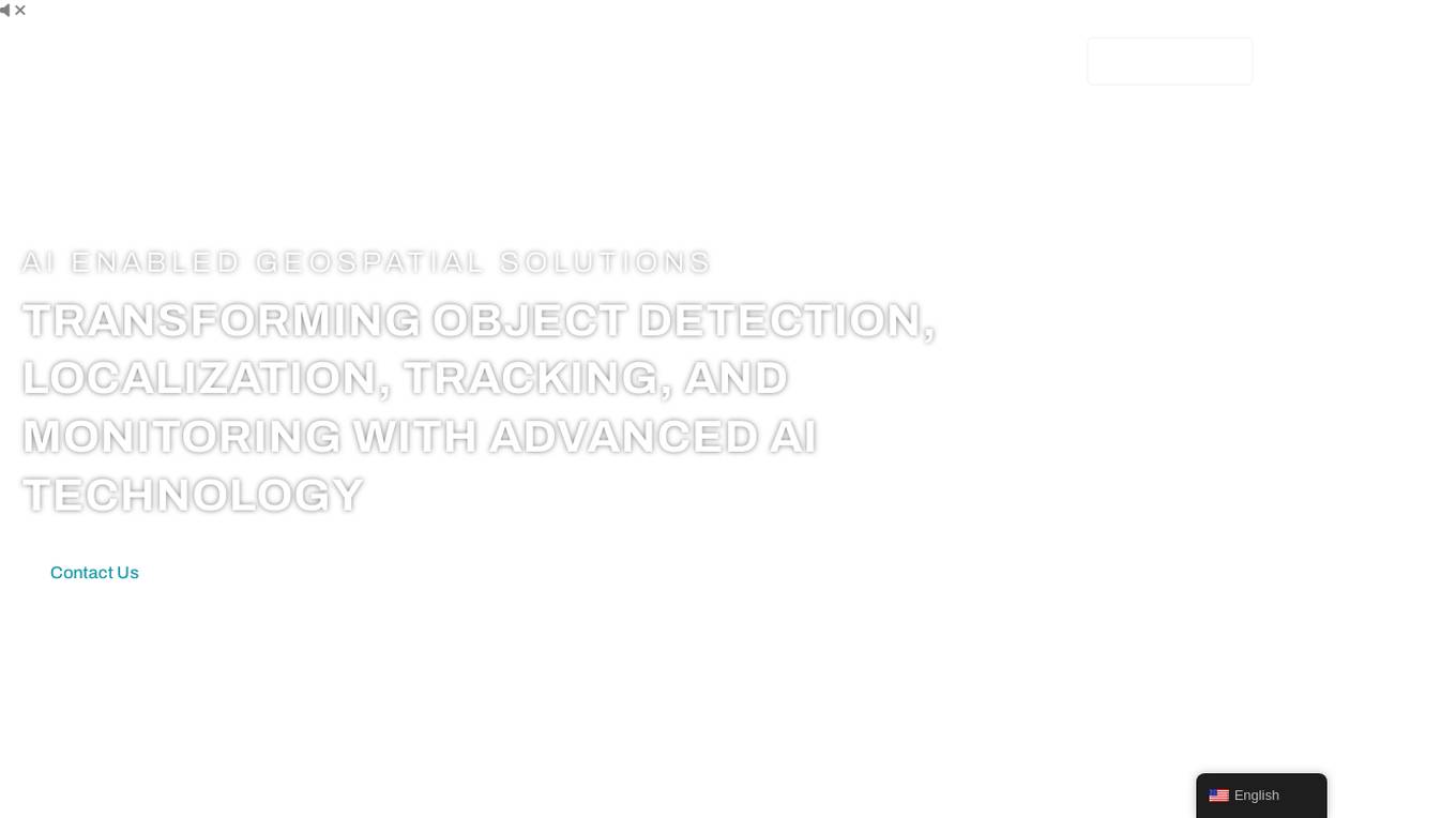
FlyPix
FlyPix is an AI-enabled geospatial solutions platform that leverages advanced AI technology to transform object detection, localization, tracking, and monitoring in the field of geospatial technology. The platform offers a wide range of capabilities, including AI-driven object analysis, change and anomaly detection, dynamic tracking, and custom use cases tailored to meet unique industry needs. FlyPix aims to provide unparalleled precision and efficiency in operations by converting complex imagery into actionable, geo-referenced insights.
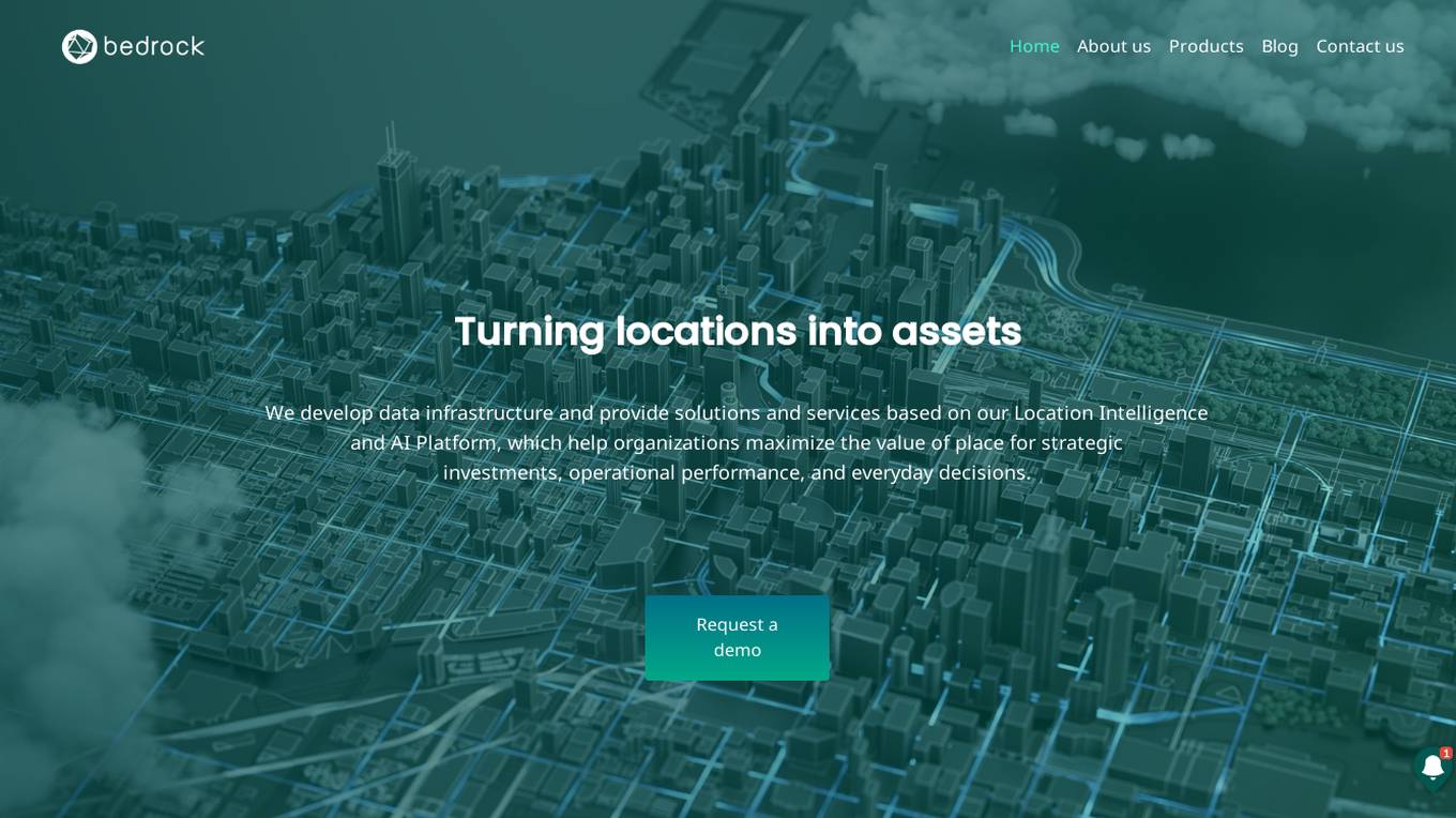
Bedrock Analytics
Bedrock Analytics is an AI-powered Location Intelligence and AI Platform that helps organizations maximize the value of place for strategic investments, operational performance, and everyday decisions. The platform offers scalable analysis and enrichment solutions embedded in web & mobile apps, with a wide range of data layers across categories such as human mobility, points of interest, and economic data. Bedrock Analytics turns locations into assets by providing the fastest, easiest, and most effective way to utilize location data for solving organizational tasks and challenges.
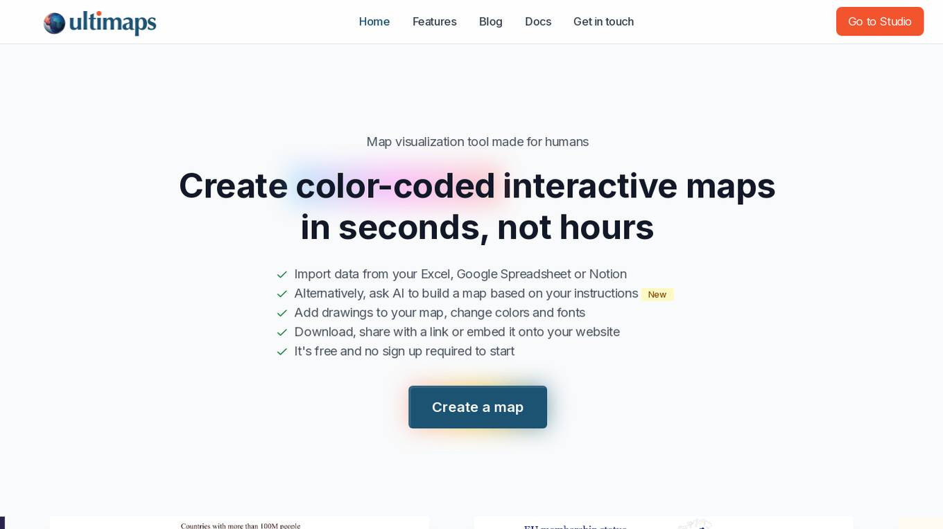
Ultimaps
Ultimaps is an AI-powered map visualization tool designed for humans to create color-coded interactive maps in seconds. Users can import data from Excel, Google Spreadsheet, or Notion, or instruct the AI to build a map based on their requirements. The tool allows users to add drawings, change colors and fonts, and easily download, share, or embed the maps. Ultimaps offers features like automatic color-coding based on imported data, customization options, auto-saving of visualizations, and the ability to create interactive maps without any coding. It is a user-friendly platform suitable for various mapping needs.
illustrarch
illustrarch is an AI-powered platform that offers a daily dose of architecture content, including articles, architectural portfolio presentations, visualizations, and design tips. The platform focuses on providing resources for architecture students and professionals to enhance their design skills and stay updated with the latest trends in the field. With a strong emphasis on artificial intelligence and technology, illustrarch aims to revolutionize the way architecture is approached and practiced.
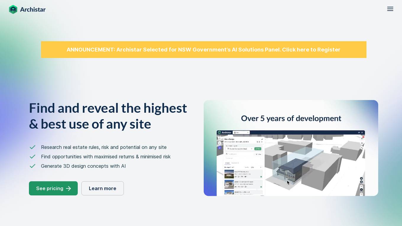
Archistar
Archistar is a leading property research platform that utilizes data and AI to help investors, developers, architects, and government officials make confident and compliant decisions. The platform offers features such as finding the best use of a site, researching real estate rules and risks, generating 3D design concepts with AI, and fast-tracking building permit assessments. With over 100,000 users, Archistar provides access to advanced algorithms, filters, and market insights to discover real estate opportunities efficiently.

VIZZIO.AI
VIZZIO.AI is an innovative AI-based platform that specializes in ultra-large-scale 3D reconstruction of digital city models worldwide. The platform utilizes smart AI algorithms to create dimensionally-accurate, photorealistic, and semantic 3D digital twins of the planet Earth. Powered by deep learning and satellite imagery, VIZZIO.AI offers timely global coverage for 3D mapping and visualization, enabling cross-platform embedding and planetary-scale city mapping. The platform's AI-based city modeling technology, known as 'EARTH ENGINE,' can identify buildings from above, extrapolate 3D reconstructions, and integrate live video feeds for immersive experiences.
Picterra
Picterra is a geospatial AI platform that offers reliable solutions for sustainability, compliance, monitoring, and verification. It provides an all-in-one plot monitoring system, professional services, and interactive tours. Users can build custom AI models to detect objects, changes, or patterns using various geospatial imagery data. Picterra aims to revolutionize geospatial analysis with its category-leading AI technology, enabling users to solve challenges swiftly, collaborate more effectively, and scale further.
Ark
Ark is an AI-powered platform that offers design and feasibility studies for multi-family and mixed-use projects. Architects and real estate developers can create automated floor plans and reports quickly. The platform is the first AI solution for architectural schematic design, optimizing profitability, density, and living standards while ensuring compliance with US codes and ordinances. With Ark, users can make better and faster decisions, maximizing saleable area, number of units, and overall efficiency.
Stackademic
Stackademic is an AI-powered platform that offers free education to anyone interested in pursuing a career in Software Development. The platform aims to provide accessible learning resources to individuals worldwide, leveraging artificial intelligence to enhance the learning experience. Stackademic covers a wide range of topics related to software development, including city planning, personalized learning, big data in finance, essential software tools for landlords, and AI-powered video editing. With a focus on innovation and efficiency, Stackademic equips software developers with the tools and knowledge necessary to excel in their field.
Terragentic
Terragentic is an AI-driven geospatial technology company that empowers sustainable resource management and transformative decision-making. They provide cutting-edge geospatial services, precise mapping, advanced data analytics, and innovative applications of artificial intelligence to solve complex challenges across diverse sectors. Terragentic is committed to environmental stewardship, ethical business practices, and delivering high-quality, AI-enhanced, accurate, and actionable geospatial intelligence to empower industries.
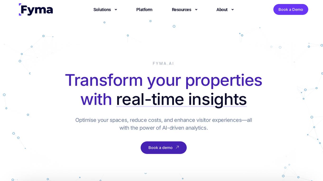
Fyma
Fyma is an AI-driven analytics tool that helps property managers, asset operators, and urban planners optimize spaces, reduce costs, and enhance visitor experiences by transforming existing cameras into AI-enabled sensors. It provides real-time insights on occupancy, space utilization, and tenant placement decisions, allowing users to make data-driven decisions for property management and revenue optimization.
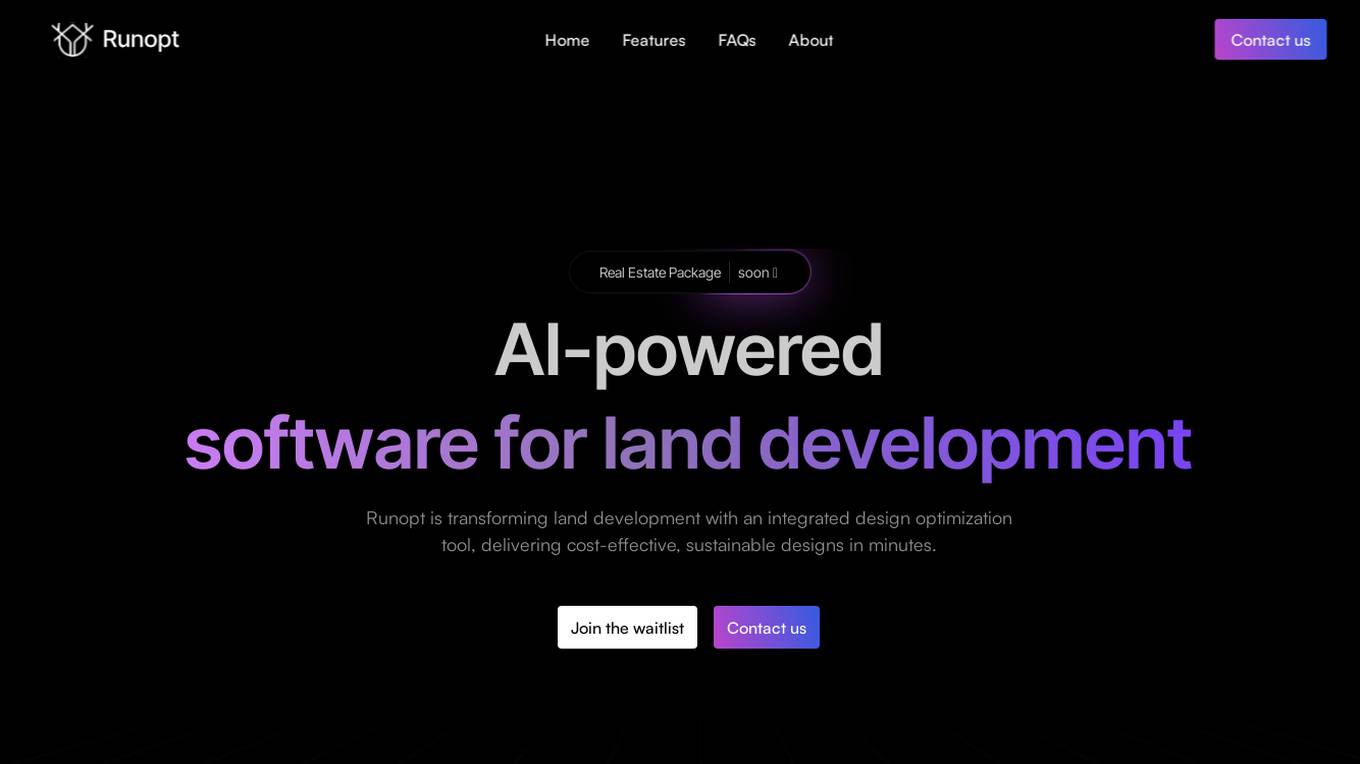
Runopt
Runopt is an AI-powered software for land development that revolutionizes the design process by integrating layout, grading, drainage, and utilities into one optimization problem. It aims to deliver cost-effective, sustainable designs in minutes, offering ecological and environmental benefits to developers, engineers, governments, and NGOs. Runopt automates complex calculations, enhances decision-making, and streamlines collaboration, making it a valuable tool for civil engineers, urban planners, and construction firms.
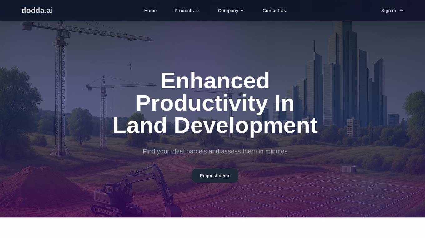
Dodda AI
Dodda AI (dodda.ai) is an AI application that automates site feasibility for Real Estate professionals, enabling quick decision-making by analyzing parcels in minutes. It offers a controlled environment focused on data accuracy, reliability, and scalability through a proprietary Land Use AI Model. Users can save up to 75% of their time compared to traditional methods, with features like instant ADU eligibility analysis, precise parking requirements calculation, feasibility determination, development options exploration, setback measurements, and more. The application is designed to enhance productivity in land development projects, providing verified results and unlocking opportunities with proprietary datasets.
5 - Open Source Tools
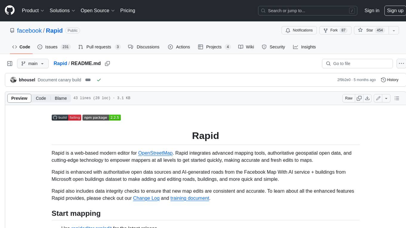
Rapid
Rapid is a web-based modern editor for OpenStreetMap. It integrates advanced mapping tools, authoritative geospatial open data, and cutting-edge technology to empower mappers at all levels to get started quickly, making accurate and fresh edits to maps. Rapid is enhanced with authoritative open data sources and AI-generated roads from the Facebook Map With AI service + buildings from Microsoft open buildings dataset to make adding and editing roads, buildings, and more quick and simple. Rapid also includes data integrity checks to ensure that new map edits are consistent and accurate.
LLMTSCS
LLMLight is a novel framework that employs Large Language Models (LLMs) as decision-making agents for Traffic Signal Control (TSC). The framework leverages the advanced generalization capabilities of LLMs to engage in a reasoning and decision-making process akin to human intuition for effective traffic control. LLMLight has been demonstrated to be remarkably effective, generalizable, and interpretable against various transportation-based and RL-based baselines on nine real-world and synthetic datasets.
agentsociety
AgentSociety is an advanced framework designed for building agents in urban simulation environments. It integrates LLMs' planning, memory, and reasoning capabilities to generate realistic behaviors. The framework supports dataset-based, text-based, and rule-based environments with interactive visualization. It includes tools for interviews, surveys, interventions, and metric recording tailored for social experimentation.
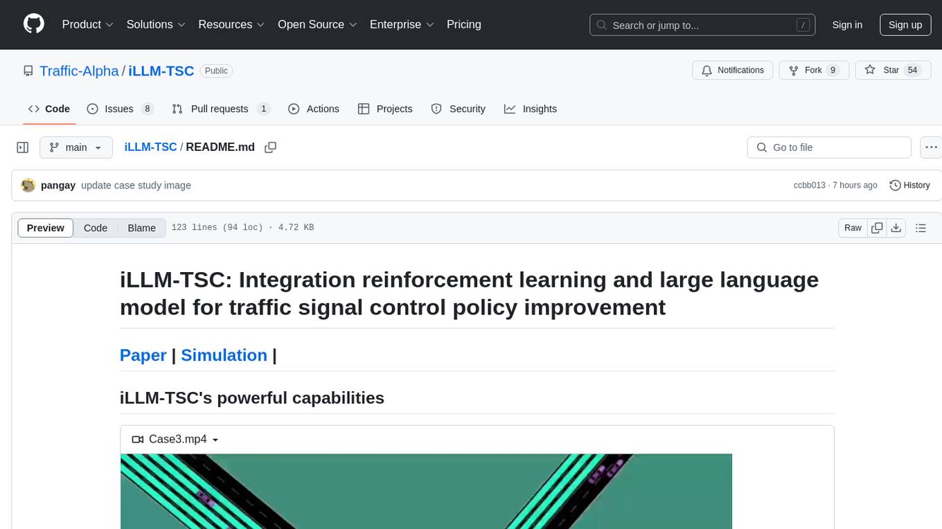
iLLM-TSC
iLLM-TSC is a framework that integrates reinforcement learning and large language models for traffic signal control policy improvement. It refines RL decisions based on real-world contexts and provides reasonable actions when RL agents make erroneous decisions. The framework includes cases where the large language model provides explanations and recommendations for RL agent actions, such as prioritizing emergency vehicles at intersections. Users can install and run the framework locally to train RL models and evaluate the combined RL+LLM approach.
gis-mcp
This repository contains a Geographic Information System (GIS) tool for performing Minimum Cumulative Path (MCP) analysis. The tool allows users to calculate the optimal path that minimizes cumulative cost between multiple locations on a map. It is particularly useful for urban planning, transportation route optimization, and environmental impact assessment. The tool supports various cost functions such as distance, travel time, and resource consumption, providing flexibility for different applications. Users can visualize the results on interactive maps and export the analysis outputs for further processing. The tool is implemented in Python and leverages popular GIS libraries such as GeoPandas and NetworkX for efficient spatial analysis.
63 - OpenAI Gpts

Biophilia Sage
I'll help you to make decisions that are imbued with Biophilia - the human tendency to be drawn towards life and life-like processes.

Visual Pedestrian Pathfinder
I create tailored walks, asking detailed preferences and giving distance in km!
Pattern Language Analyzer
Analyzes architectural photos for patterns from "A Pattern Language". (Click the paperclip to upload your photo.)

SwissArchitectGPT
Your expert guide to the intricate world of Swiss architecture, blending sustainability with innovation.
My Dollar General Parking Lot Focus Group
Generates a unique parking lot scenario with each response.

OpenStreetMap Query
Helps get map data from Open Street Map by generating Overpass Turbo queries. Ask me for mapping features like cafes, rivers or highways


Eco Architect
Expert in sustainable & modern architecture, integrating permaculture principles.


Where Should I live?
Expert in major city property searches, offering real-time data and personalized advice.

Why do I live here?
I'm here to remind you of all the great things that exist where you live.


PósArquiteturaEUrbanismoBR
Especialista em dados de pós-graduação em Arquitetura e Urbanismo.

Pós Engenharia de Transportes BR
Especialista em teses de Engenharia de Transportes do Brasil

Home Innovator
Property and land advisor with real-time search, focusing on sustainability and history.

Planificación Sostenible
Experto en urbanismo sostenible de ciudades. Entrenado por Pau Seguí
PlanGPT
Formal, professional urban planning expert, skilled in document analysis and feedback interpretation.
Cycling Route Planner
Generates custom cycling routes based on user preferences and fitness levels.

Urban Planning & Development Advisor
Urban Planning & Development Advisor discussing sustainable development and community building.

Geo Explorer
I'm a geography enthusiast eager to share fun and interesting facts about our world!


末日幸存者:社会动态模拟 Doomsday Survivor
上帝视角观察、探索和影响一个末日丧尸灾难后的人类社会。Observe, explore and influence human society after the apocalyptic zombie disaster from a God's perspective. Sponsor:小红书“ ItsJoe就出行 ”


Urban Innovator
Futuristic City Planner specializing in sustainable, innovative urban designs.

Why Buy a Flat in London
Have you ever wondered what it's like to own a flat in the heart of London? Let's dive into this exciting prospect. But why buy a flat here? For starters, London's property market is known for its resilience and long-term value. Isn't it time you considered being a part of London's unfolding story?

EarthMap - Geography Facts, Maps and Images
Discover geographic info, explore landmarks, view detailed maps, and enjoy vivid visuals.
Fantastic City & Landscape Rendering Assistant
Upload your simple sketch to turn into fantastic perspective rendering with 5 styles and 5 scales
Urban Analyzer: LP Report Q4 2023
Urban Analyzer with consolidated files containing just UR information.
Lambeth Planning Policy Bot
I search Lambeth's planning site to provide links to policies and documents.
Carbon Emissions calculator: from A to B
Fornisce template per calcolare emissioni da A a B.
TrafficFlow
A specialized AI for optimizing traffic control, predicting bottlenecks, and improving road safety.