Best AI tools for< Segment Remote Sensing Data >
20 - AI tool Sites
No-Background
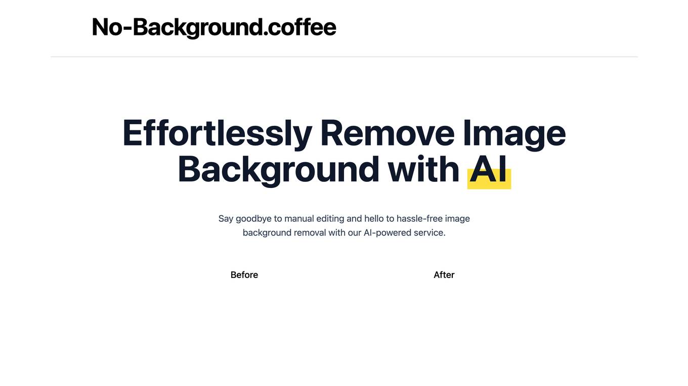
No-Background is an AI-powered image background removal service that makes it easy to remove backgrounds from images with just a few clicks. It uses a deep learning approach based on MODNet to accurately segment the foreground from the background, resulting in high-quality, transparent images. No-Background is free to use and does not store any user data, ensuring privacy and security.
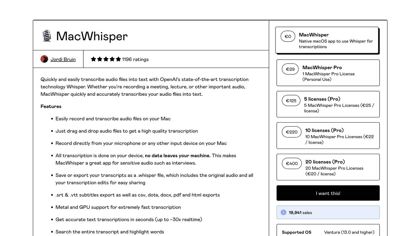
MacWhisper
MacWhisper is a native macOS application that utilizes OpenAI's Whisper technology for transcribing audio files into text. It offers a user-friendly interface for recording, transcribing, and editing audio, making it suitable for various use cases such as transcribing meetings, lectures, interviews, and podcasts. The application is designed to protect user privacy by performing all transcriptions locally on the device, ensuring that no data leaves the user's machine.

Segment Anything by Meta AI
Segment Anything by Meta AI is an advanced AI model that specializes in image segmentation, allowing users to easily 'cut out' any object in an image with a single click. The model, named SAM, offers zero-shot generalization to unfamiliar objects and images without the need for additional training. SAM's promptable design enables a wide range of segmentation tasks through input prompts, making it a versatile tool for various applications.
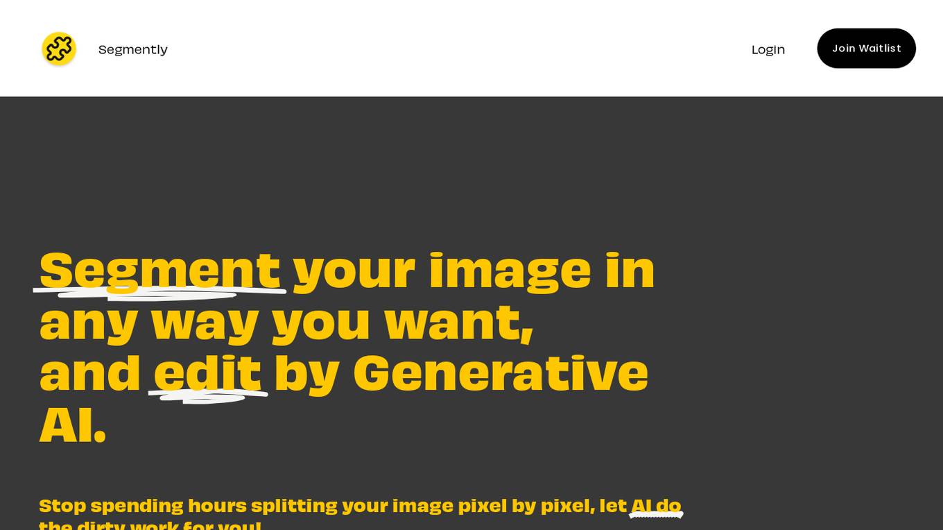
Segmently
Segmently is an AI-powered image segmentation tool that allows users to segment images in any desired way and edit them using Generative AI. It eliminates the need for manual pixel-by-pixel image splitting, saving users time and effort. The tool offers extremely accurate segmentation and provides controllability and editability features through text prompts or clicks. Users can segment objects, human figures, body parts, or anything else they desire, and then edit the segmented images with ease. Segmently is designed for post-editability, allowing users to download the segmented images as layered PSD files for further editing.
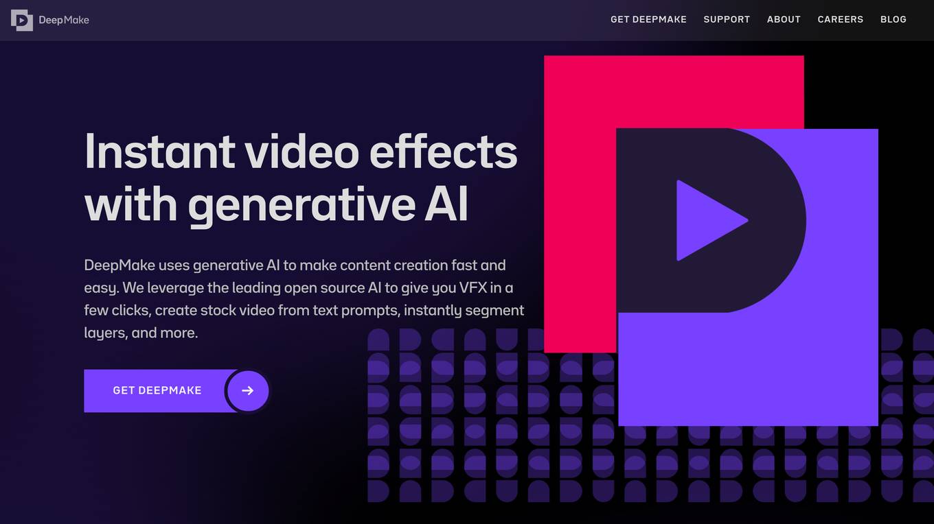
DeepMake
DeepMake is a powerful AI tool that empowers users to unleash their creativity by providing control over Open Source AI tools for enhancing visual content. With DeepMake, users can create, edit, and enhance images and videos without any usage limits or reliance on cloud services. The application runs locally on the user's computer, offering a higher level of control over AI-generated output and introducing new AI tools regularly to stay at the forefront of AI capabilities.
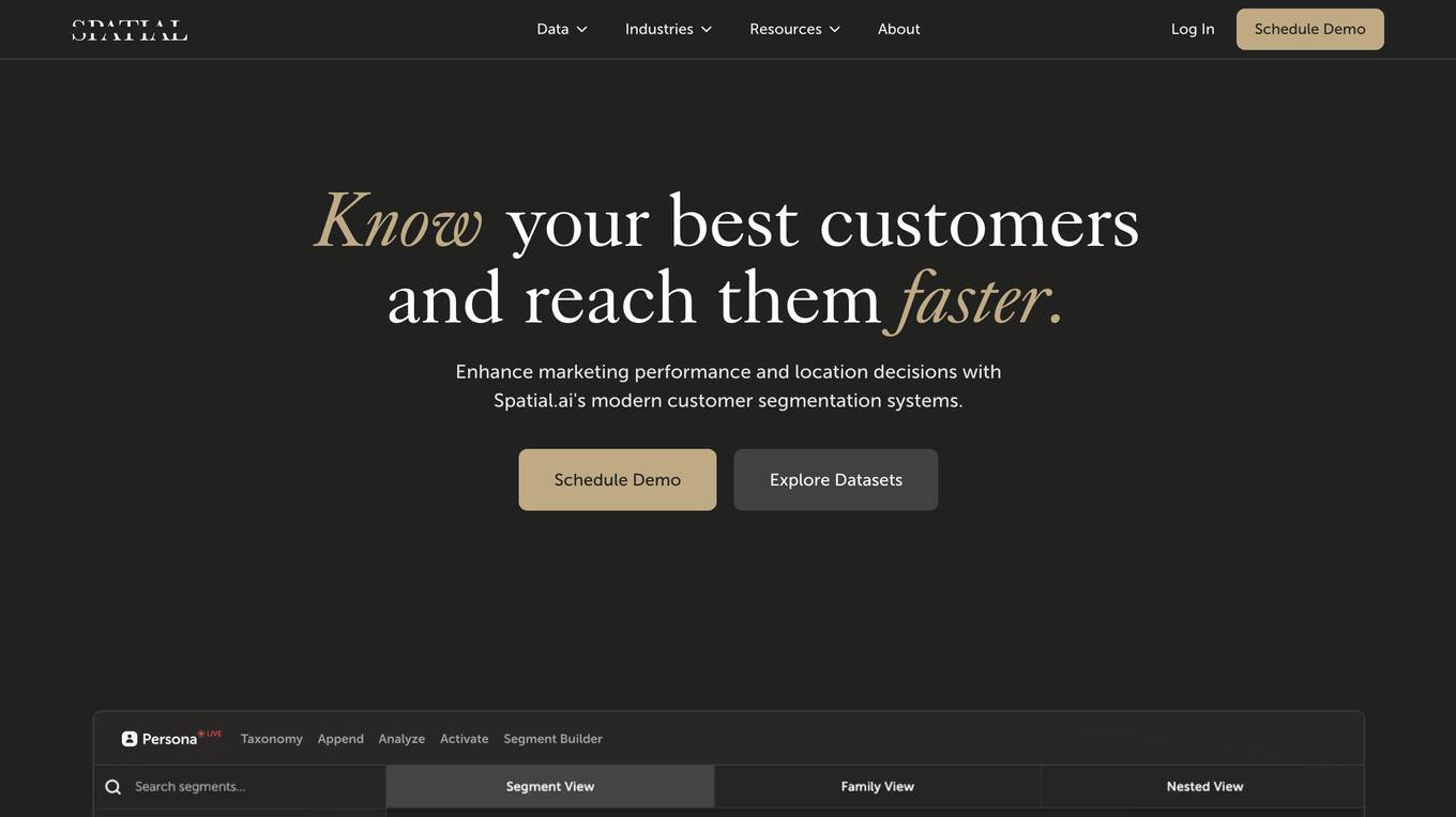
Spatial.ai
Spatial.ai is a customer segmentation platform that helps businesses understand their customers' social, mobile, and web behaviors. This data can be used to create targeted marketing campaigns, make better location decisions, and develop predictive models. Spatial.ai's data is built directly from organic consumer behavior, which means richer insights and higher accuracy.
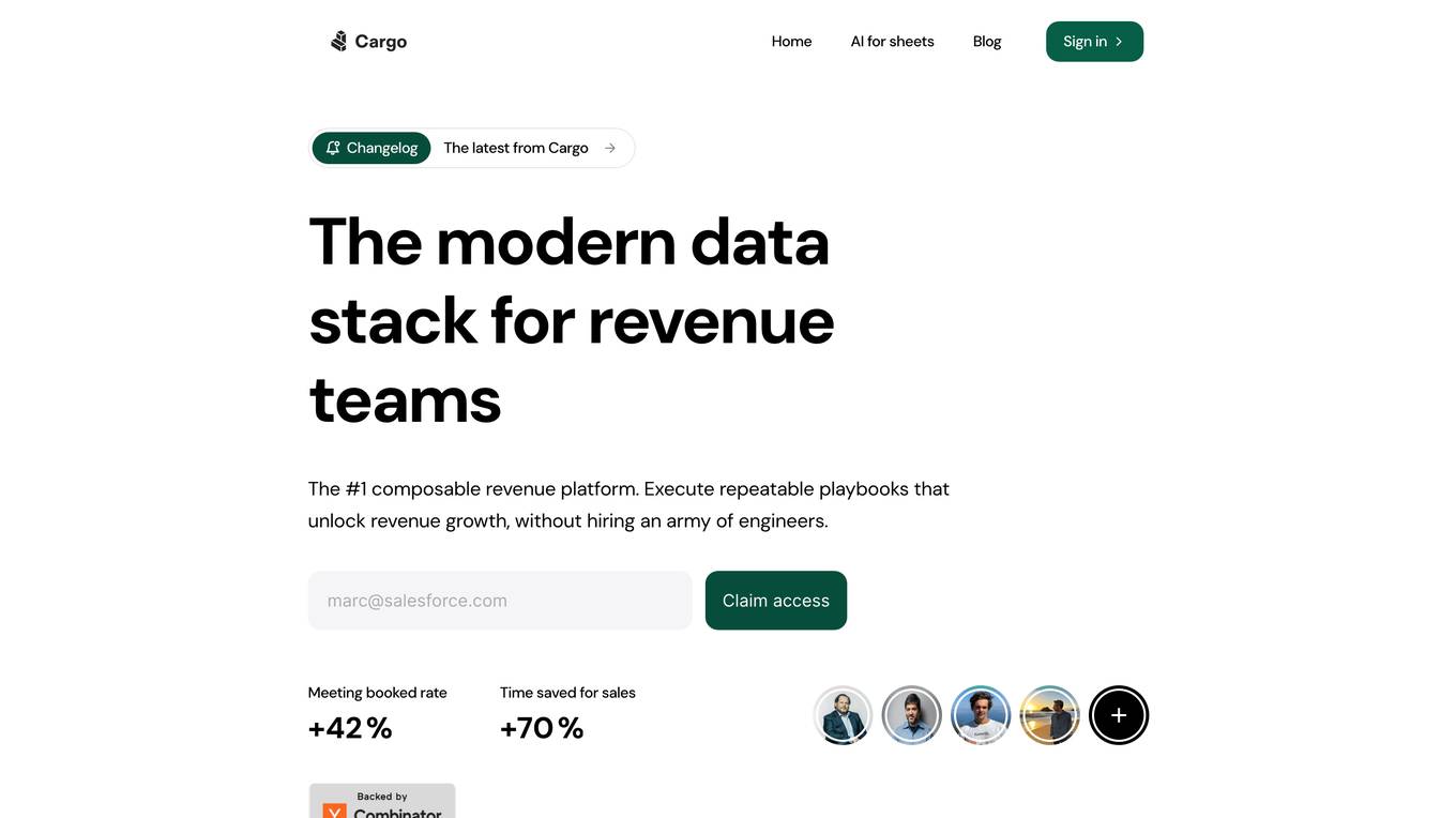
Cargo
Cargo is a revenue operations platform that helps businesses grow their revenue by providing them with the tools they need to segment, enrich, score, and assign leads, as well as automate their revenue operations. Cargo is designed to be easy to use, even for non-technical users, and it can be integrated with a variety of other business tools. With Cargo, businesses can improve their sales performance, increase their efficiency, and make better decisions about their revenue operations.

Meta AI
Meta AI is an intelligent assistant that offers a range of AI experiences for users, including answering questions, providing advice, creating images, and more. Users can also create their own AI characters or explore AIs made by others through AI Studio. The platform aims to empower users to connect with what matters to them and discover new possibilities through AI technology.
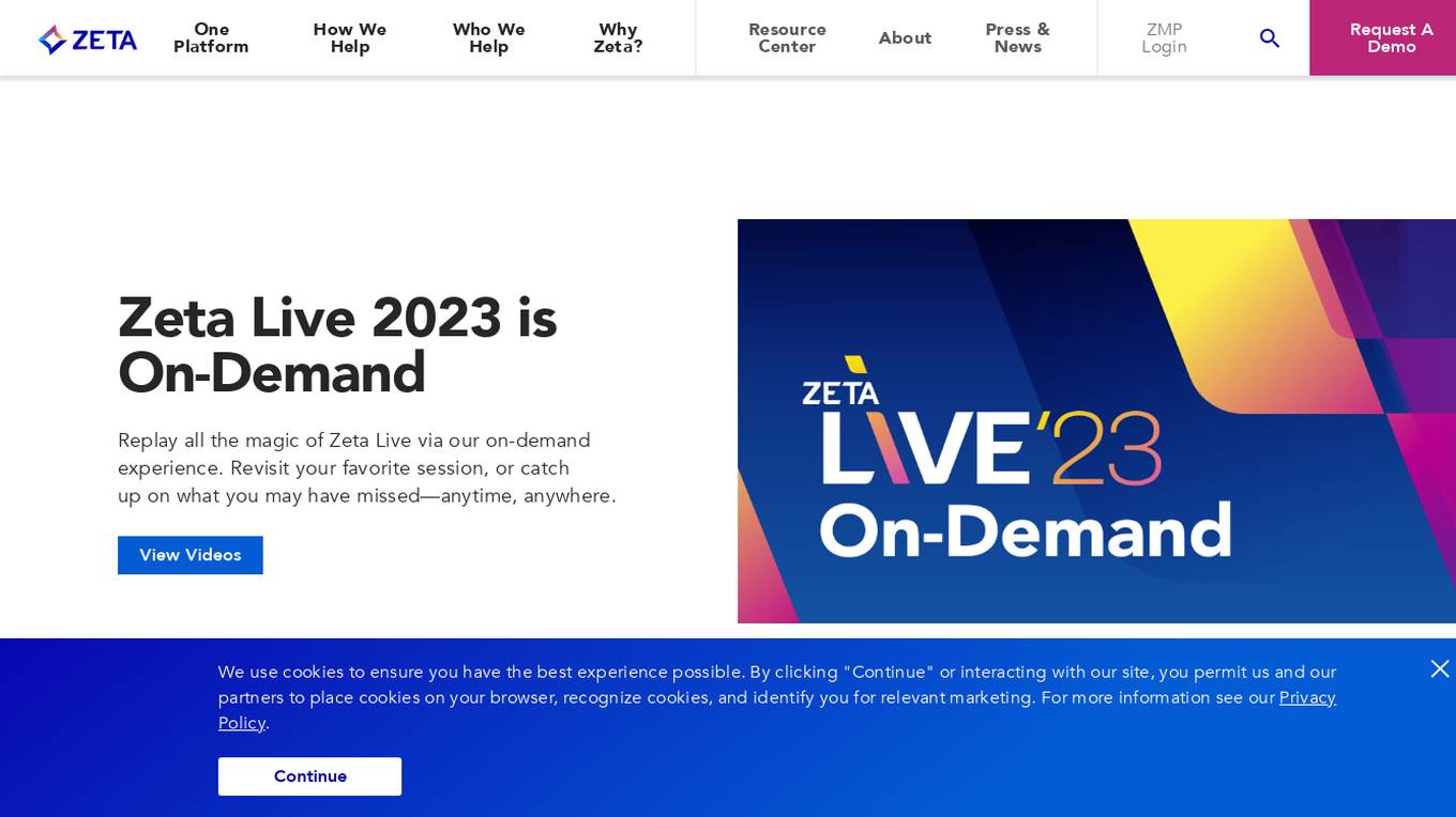
Zeta Global
Zeta Global is an AI-powered marketing cloud that helps businesses acquire, grow, and retain customers more efficiently. The Zeta Marketing Platform (ZMP) is a cloud-based system that provides tools for data management, messaging, activation, and more. ZMP is powered by proprietary data and AI, which enables businesses to create individualized experiences and drive outcomes throughout the customer lifecycle.

Show by Animaker
Show by Animaker is an AI-powered email marketing tool that helps businesses create personalized and engaging email campaigns. With Show, you can automate interactive email creation, define unlimited custom user journeys and audience segments, and track campaign performance with advanced analytics. Show also offers deliverability features such as in-built hard stops, deliverability alerts, and domain warm-up capabilities.
Inventoro
Inventoro is a smart inventory forecasting and replenishment tool that helps businesses optimize their inventory management processes. By analyzing past sales data, the tool predicts future sales, recommends order quantities, reduces inventory size, identifies profitable inventory items, and ensures customer satisfaction by avoiding stockouts. Inventoro offers features such as sales forecasting, product segmentation, replenishment, system integration, and forecast automations. The tool is designed to help businesses decrease inventory, increase revenue, save time, and improve product availability. It is suitable for businesses of all sizes and industries looking to streamline their inventory management operations.
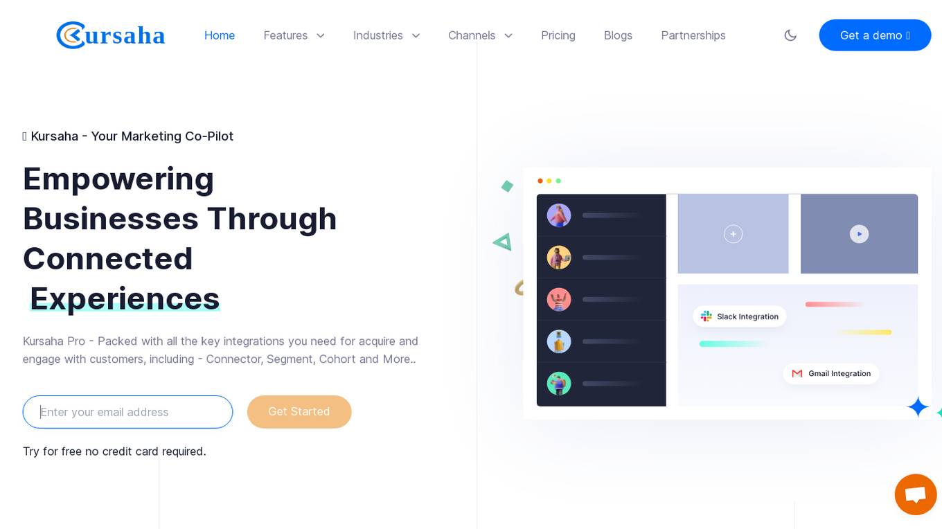
Kursaha
Kursaha is an AI-powered customer engagement and acquisition platform that helps businesses connect with their audiences in a personalized and meaningful way. It offers a range of features such as chat automation, OTP automation, real-time analytics, audience segmentation, and content generation. Kursaha integrates with various tools and systems, making it a comprehensive solution for marketing, data, and product teams.
KLING AI
KLING AI is an advanced artificial intelligence tool designed to streamline and enhance various business processes. It leverages cutting-edge machine learning algorithms to provide accurate insights and predictions for data analysis, customer segmentation, and personalized recommendations. With a user-friendly interface, KLING AI empowers users to make informed decisions and optimize their operations efficiently.

Ultralytics YOLO
Ultralytics YOLO is an advanced real-time object detection and image segmentation model that leverages cutting-edge advancements in deep learning and computer vision. It offers unparalleled performance in terms of speed and accuracy, making it suitable for various applications and easily adaptable to different hardware platforms. The comprehensive Ultralytics Docs provide resources to help users understand and utilize its features and capabilities, catering to both seasoned machine learning practitioners and newcomers to the field.
Klaviyo
Klaviyo is a comprehensive marketing platform that offers email, SMS, and B2C CRM solutions. It provides marketing automation, personalized customer service, analytics, and data platform capabilities. With omnichannel marketing features and AI integration, Klaviyo aims to help businesses create lasting customer relationships and drive growth. The platform unifies customer data, offers segmentation tools, and enables advanced analytics for better decision-making. Klaviyo caters to B2C brands looking to enhance their marketing strategies and customer engagement.

ActiveCampaign
ActiveCampaign is an all-in-one marketing automation platform that helps businesses create and automate personalized customer experiences. It offers a wide range of features, including email marketing, dynamic content, segmentation, sales CRM, landing pages, and forms. ActiveCampaign also integrates with over 900 other marketing apps, making it a powerful tool for businesses of all sizes.
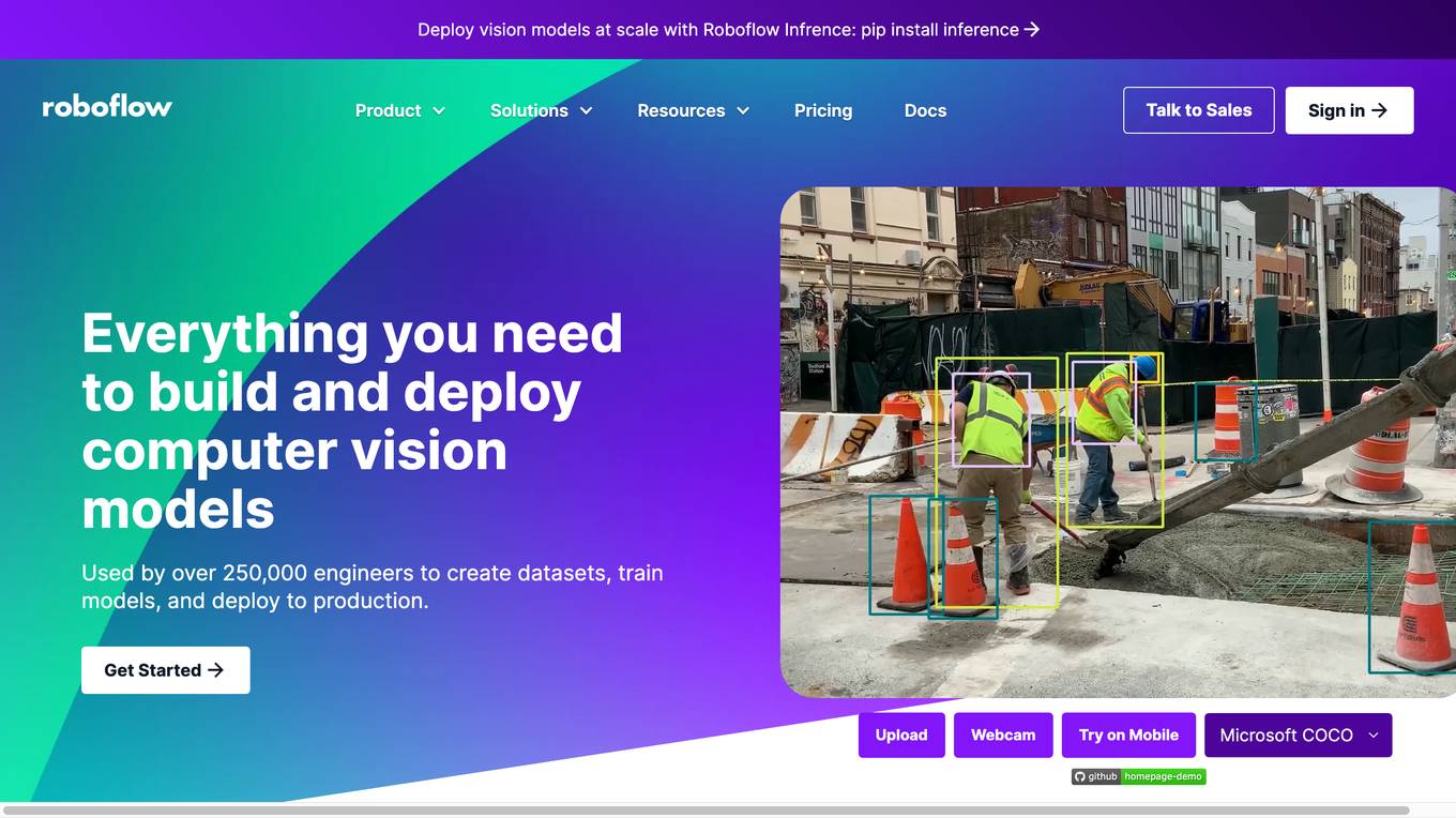
Roboflow
Roboflow is a platform that provides tools for building and deploying computer vision models. It offers a range of features, including data annotation, model training, and deployment. Roboflow is used by over 250,000 engineers to create datasets, train models, and deploy to production.
ScoreApp
ScoreApp is a quiz marketing platform that helps businesses attract warm leads, gain powerful insights, and increase sales. With ScoreApp, businesses can create customized quiz funnels that engage customers and deliver personalized results based on their answers. ScoreApp also offers a variety of features to help businesses promote their quizzes and track their results.
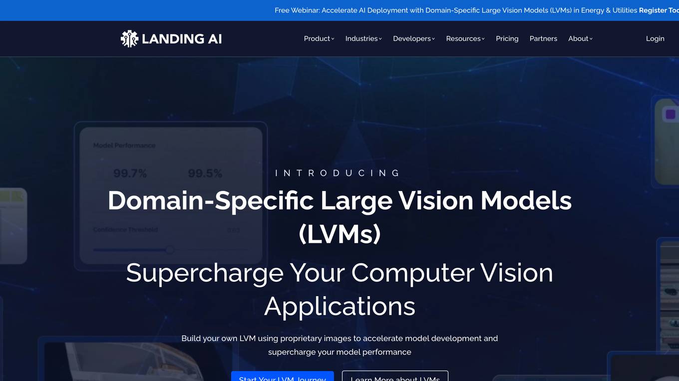
Landing AI
Landing AI is a computer vision platform and AI software company that provides a cloud-based platform for building and deploying computer vision applications. The platform includes a library of pre-trained models, a set of tools for data labeling and model training, and a deployment service that allows users to deploy their models to the cloud or edge devices. Landing AI's platform is used by a variety of industries, including automotive, electronics, food and beverage, medical devices, life sciences, agriculture, manufacturing, infrastructure, and pharma.
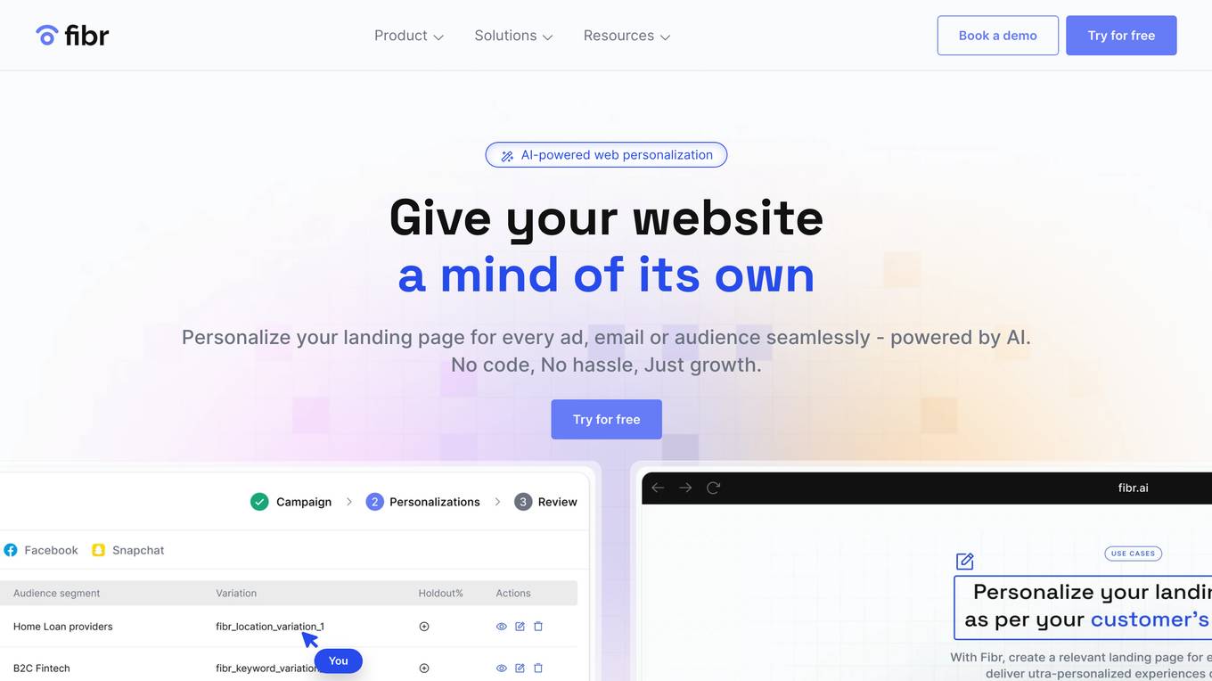
Fibr AI
Fibr AI is a personalized landing page platform that uses AI to deliver ultra-personalized experiences for every ad, email, or audience. With Fibr, businesses can create relevant landing pages for every ad and deliver personalized experiences dynamically, without any coding or hassle. Fibr's key features include a WYSIWYG editor, dynamic web personalization, ad connect, bulk creation, audience building, AI personalizations at scale, A/B testing, reporting and analytics, and integrations with popular marketing platforms. Fibr's benefits include increased conversions, reduced customer acquisition costs, and improved ROI. Fibr is suitable for businesses of all sizes and industries, and is particularly beneficial for businesses with high customer acquisition costs or low conversion rates.
1 - Open Source AI Tools
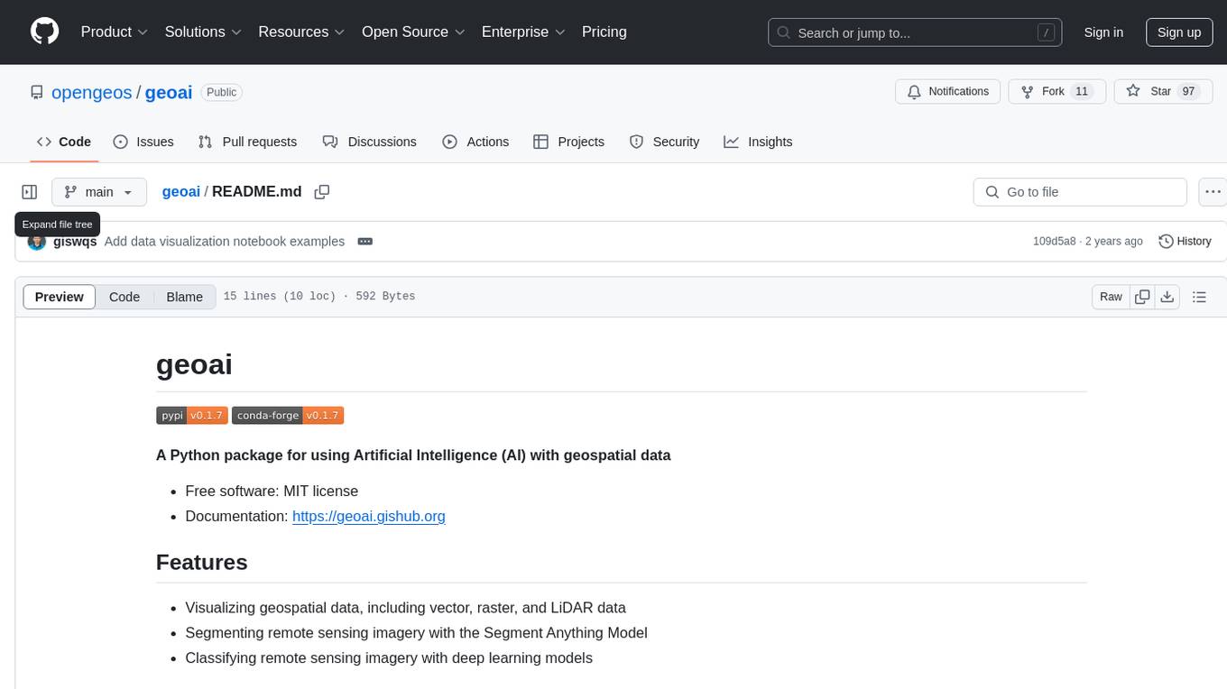
geoai
geoai is a Python package designed for utilizing Artificial Intelligence (AI) in the context of geospatial data. It allows users to visualize various types of geospatial data such as vector, raster, and LiDAR data. Additionally, the package offers functionalities for segmenting remote sensing imagery using the Segment Anything Model and classifying remote sensing imagery with deep learning models. With a focus on geospatial AI applications, geoai provides a versatile tool for processing and analyzing spatial data with the power of AI.
9 - OpenAI Gpts
B2B Startup Ideal Customer Co-pilot
Guides B2B startups in a structured customer segment evaluation process. Stop guessing! Ideate, Evaluate & Make data-driven decision.
Artie's Adventure Magic
A storyteller AI that draws a new illustration for every story segment.
AI for Medical Imaging GPT
Expert in medical imaging AI, adept in machine learning tools.

E-Commerce Email Expert
Assists with personalized, effective email marketing for e-commerce, focusing on engaging content and trends.
Family Asset Management
Guides asset allocation in family segments, focusing on investments.
