Best AI tools for< Analyze Geospatial Data >
20 - AI tool Sites
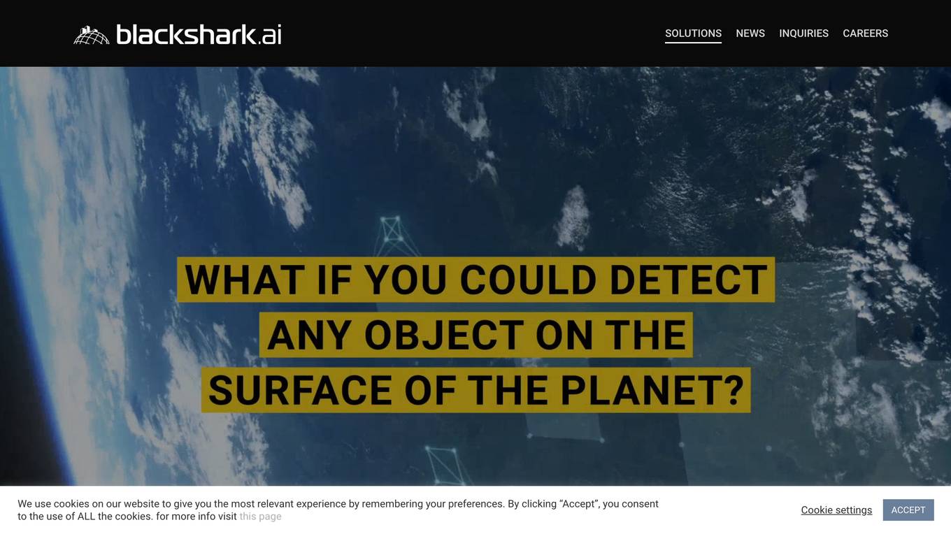
Blackshark.ai
Blackshark.ai is an AI-based platform that generates real-time accurate semantic photorealistic 3D digital twin of the entire planet. The platform extracts insights about the planet's infrastructure from satellite and aerial imagery via machine learning at a global scale. It enriches missing attributes using AI to provide a photorealistic, geo-typical, or asset-specific digital twin. The results can be used for visualization, simulation, mapping, mixed reality environments, and other enterprise solutions. The platform offers end-to-end geospatial solutions, including globe data input sources, no-code data labeling, geointelligence at scale, 3D semantic map, and synthetic environments.
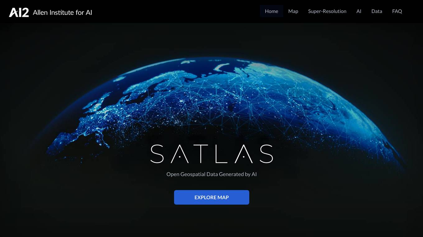
Satlas
Satlas is an AI-powered platform that provides geospatial data generated by AI models. The platform offers insights into changes in marine infrastructure, renewable energy infrastructure, and tree cover on a monthly basis. Users can explore maps showcasing developments such as wind farms, solar farms, deforestation, and more. Satlas employs advanced AI architectures and training algorithms in computer vision to enhance low-resolution satellite imagery and produce high-resolution images globally. The platform's geospatial datasets are freely available for offline analysis, along with AI models and training labels. Developed by the Allen Institute for AI, Satlas aims to advance computer vision technology for better understanding and monitoring of Earth's changes.
Bayanat
Bayanat is an AI-powered geospatial intelligence company that offers predictive intelligence solutions, smart operations solutions, and smart mobility solutions to various sectors such as defense, environment, energy & resources, smart cities, and transportation. With over 50 years of experience, Bayanat provides high-quality geospatial data, geo-intelligence, and AI-powered data analytics to drive human progress and create game-changing advantages for its clients in the UAE, the Middle East, and beyond.
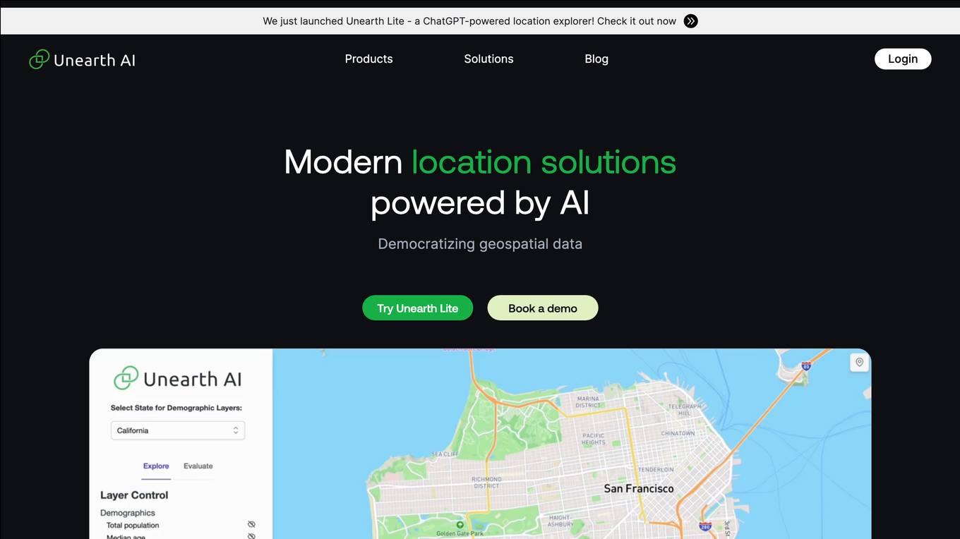
Unearth AI
Unearth AI is a platform offering geospatial data and location solutions. It provides various products like Unearth Lite, Unearth Insights, and Unearth Platform to cater to different needs. Unearth Lite is a ChatGPT-powered location explorer that offers a simple dashboard to explore locations worldwide. The platform aims to democratize geospatial data and is trusted by fast-growing businesses. With modern location solutions powered by AI, Unearth AI is revolutionizing the way businesses interact with and analyze location-based data.
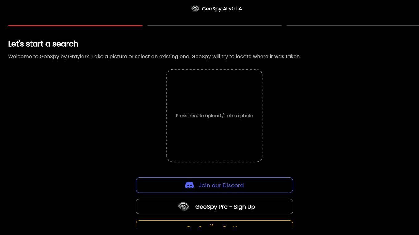
GeoSpy.ai
GeoSpy.ai is a web-based geospatial intelligence platform that provides users with access to a variety of geospatial data and tools. The platform allows users to create and share maps, analyze data, and collaborate with others. GeoSpy.ai is used by a variety of professionals, including law enforcement, intelligence analysts, and environmental scientists.
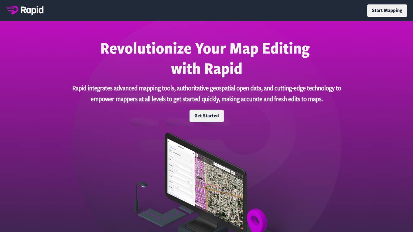
Rapid Editor
Rapid Editor is an advanced mapping tool that revolutionizes map editing by integrating cutting-edge technology and authoritative geospatial open data. It empowers OpenStreetMap mappers of all levels to make accurate and fresh edits quickly. The tool saves effort by utilizing AI to identify predicted features and provide a high-level overview of unmapped data globally. Rapid Editor's intuitive interface simplifies mapping, making it clear and simple for humanitarian and community groups to facilitate mapping projects.
Rapid Editor
Rapid Editor is an advanced mapping tool that revolutionizes map editing by integrating cutting-edge technology and authoritative geospatial open data. It empowers OpenStreetMap mappers of all levels to quickly make accurate and fresh edits to maps. The tool saves effort by tapping into open data and AI-predicted features to draw map geometry, provides AI-analyzed satellite imagery for a high-level overview of unmapped areas, and displays open map data and machine learning detections in an intuitive user interface. Rapid Editor is designed to help map the world efficiently and is supported by a strong community of humanitarian and community groups.
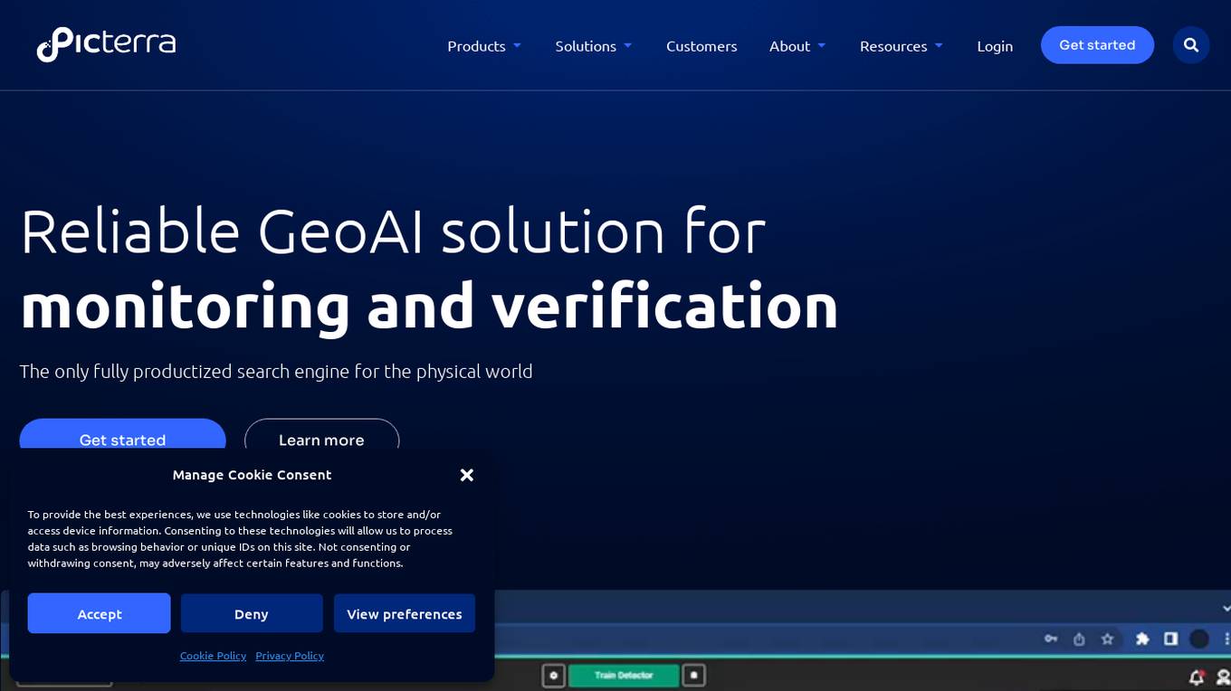
Picterra
Picterra is a geospatial AI platform that offers reliable solutions for sustainability, compliance, monitoring, and verification. It provides an all-in-one plot monitoring system, professional services, and interactive tours. Users can build custom AI models to detect objects, changes, or patterns using various geospatial imagery data. Picterra aims to revolutionize geospatial analysis with its category-leading AI technology, enabling users to solve challenges swiftly, collaborate more effectively, and scale further.
SheetBot AI
SheetBot AI is an AI data analyst tool that enables users to analyze data quickly without the need for coding. It automates repetitive and time-consuming data tasks, making data visualization and analysis more efficient. With SheetBot AI, users can generate accurate and visually appealing graphs in seconds, streamlining the data analysis process.
ChartFast
ChartFast is an AI Data Analyzer tool that automates data visualization and analysis tasks, powered by GPT-4 technology. It allows users to generate precise and sleek graphs in seconds, process vast amounts of data, and provide interactive data queries and quick exports. With features like specialized internal libraries for complex graph generation, customizable visualization code, and instant data export, ChartFast aims to streamline data work and enhance data analysis efficiency.
HEAVY.AI
HEAVY.AI is a cutting-edge analytics and location intelligence platform that empowers users to make time-sensitive, high-impact decisions over vast datasets. The platform offers Conversational Analytics, enabling users to ask questions about their data in natural language and view actionable visualizations instantly. With HeavyEco, the platform also supports emergency response efforts by streamlining the management of weather events. HEAVY.AI combines interactive visual analytics, hardware-accelerated SQL, and advanced analytics & data science framework to uncover hidden opportunities and risks within enterprise datasets.
Terragentic
Terragentic is an AI-driven geospatial technology company that empowers sustainable resource management and transformative decision-making. They provide cutting-edge geospatial services, precise mapping, advanced data analytics, and innovative applications of artificial intelligence to solve complex challenges across diverse sectors. Terragentic is committed to environmental stewardship, ethical business practices, and delivering high-quality, AI-enhanced, accurate, and actionable geospatial intelligence to empower industries.
Gemini AI
Gemini AI is an AI and ML solutions provider that accelerates innovation through artificial intelligence. The company leads the revolution of artificial intelligence for augmented intelligence, leveraging cutting-edge AI and ML to solve challenging problems and augment human intelligence. Gemini AI specializes in areas such as computer vision, geospatial science, human health, and integrative technologies. Their services include data and sensors analysis, modeling with deep learning techniques, and deployment of predictive models for real-time insights.

Minimap.ai
Minimap.ai is an innovative AI-powered tool designed to provide users with detailed and accurate maps for various purposes. The tool utilizes advanced artificial intelligence algorithms to analyze and process geographical data, enabling users to generate customized maps quickly and efficiently. With Minimap.ai, users can create maps for navigation, urban planning, disaster management, and other applications with ease. The tool offers a user-friendly interface and a wide range of features to cater to different mapping needs.
FlyPix
FlyPix is an AI-enabled geospatial solutions platform that leverages advanced AI technology to transform object detection, localization, tracking, and monitoring in the field of geospatial technology. The platform offers a wide range of capabilities, including AI-driven object analysis, change and anomaly detection, dynamic tracking, and custom use cases tailored to meet unique industry needs. FlyPix aims to provide unparalleled precision and efficiency in operations by converting complex imagery into actionable, geo-referenced insights.
Nucleai
Nucleai is an AI-driven spatial biomarker analysis tool that leverages military intelligence-grade geospatial AI methods to analyze complex cellular interactions in a patient's biopsy. The platform offers a first-of-its-kind multimodal solution by ingesting images from various modalities and delivering actionable insights to optimize biomarker scoring, predict response to therapy, and revolutionize disease diagnosis and treatment.
Elicit
Elicit is a research tool that uses artificial intelligence to help researchers analyze research papers more efficiently. It can summarize papers, extract data, and synthesize findings, saving researchers time and effort. Elicit is used by over 800,000 researchers worldwide and has been featured in publications such as Nature and Science. It is a powerful tool that can help researchers stay up-to-date on the latest research and make new discoveries.
Plerdy
Plerdy is a comprehensive suite of conversion rate optimization tools that helps businesses track, analyze, and convert their website visitors into buyers. With a range of features including website heatmaps, session replay software, pop-up software, website feedback tools, and more, Plerdy provides businesses with the insights they need to improve their website's usability and conversion rates.
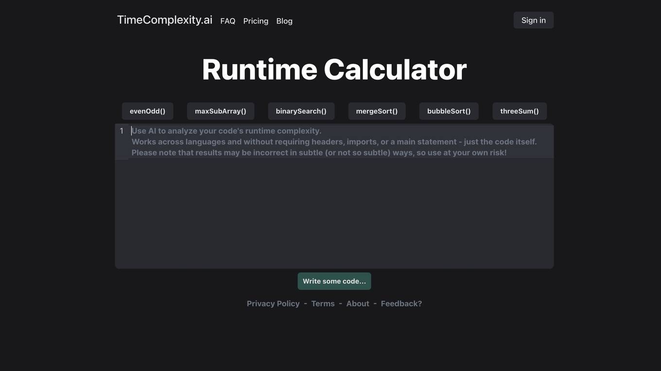
TimeComplexity.ai
TimeComplexity.ai is an AI tool that helps users analyze the runtime complexity of their code. It works seamlessly across different programming languages without the need for headers, imports, or a main statement. Users can input their code and receive insights on its runtime efficiency. However, it's important to note that the results may not always be accurate, so caution is advised when using the tool.
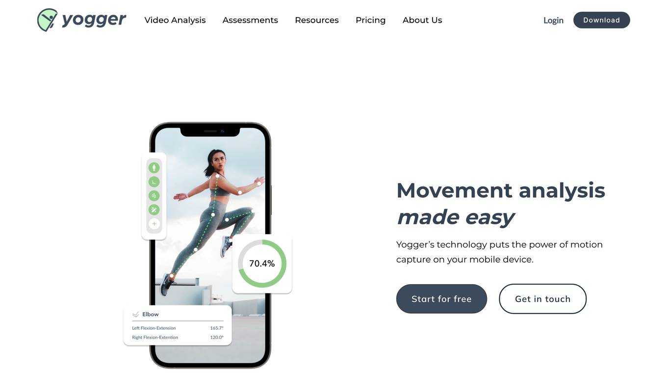
Yogger
Yogger is an AI-powered video analysis and movement assessment tool designed for coaches, trainers, physical therapists, and athletes. It allows users to track form, gather data, and analyze movement for any sport or activity in seconds. With AI-powered screenings, users can get instant scores and insights whether training in person or online. Yogger helps in recovery, training enhancement, and injury prevention, all accessible from a mobile device.
0 - Open Source AI Tools
20 - OpenAI Gpts
Fabric Journey Builder
Build geospatial mixed-reality experiences for live events using Fabric's Platform
GIS GPT
Expert in GIS, guiding users through learning, troubleshooting, automation and practical applications.
Wowza Bias Detective
I analyze cognitive biases in scenarios and thoughts, providing neutral, educational insights.
Art Engineer
Analyze and reverse engineer images. Receive style descriptions and image re-creation prompts.
Stock Market Analyst
I read and analyze annual reports of companies. Just upload the annual report PDF and start asking me questions!

Good Design Advisor
As a Good Design Advisor, I provide consultation and advice on design topics and analyze designs that are provided through documents or links. I can also generate visual representations myself to illustrate design concepts.
History Perspectives
I analyze historical events, offering insights from multiple perspectives.
Automated Knowledge Distillation
For strategic knowledge distillation, upload the document you need to analyze and use !start. ENSURE the uploaded file shows DOCUMENT and NOT PDF. This workflow requires leveraging RAG to operate. Only a small amount of PDFs are supported, convert to txt or doc. For timeout, refresh & !continue
Art Enthusiast
Analyze any uploaded art piece, providing thoughtful insight on the history of the piece and its maker. Replicate art pieces in new styles generated by the user. Be an overall expert in art and help users navigate the art scene. Inform them of different types of art
Historical Image Analyzer
A tool for historians to analyze and catalog historical images and documents.
Phish or No Phish Trainer
Hone your phishing detection skills! Analyze emails, texts, and calls to spot deception. Become a security pro!

Actor Audition Coach
I analyze audition sides to help actors prepare for in-person and self-taped auditions for TV and Film