Best AI tools for< Analyze Environmental Impact >
20 - AI tool Sites
Trazable LifeCycle
Trazable LifeCycle is a sustainability software designed to measure, improve, and report the sustainability of companies. It simplifies the process of measuring and reporting environmental impact by providing tools to create process maps, add environmental impact data, and generate key sustainability indicators. The software is tailored for the food industry, offering over 50 million industry-specific data points to aid in decision-making and compliance with sustainability regulations. Trazable LifeCycle ensures data validity by using constantly updated and validated datasets, allowing users to measure both product and organizational carbon footprints.
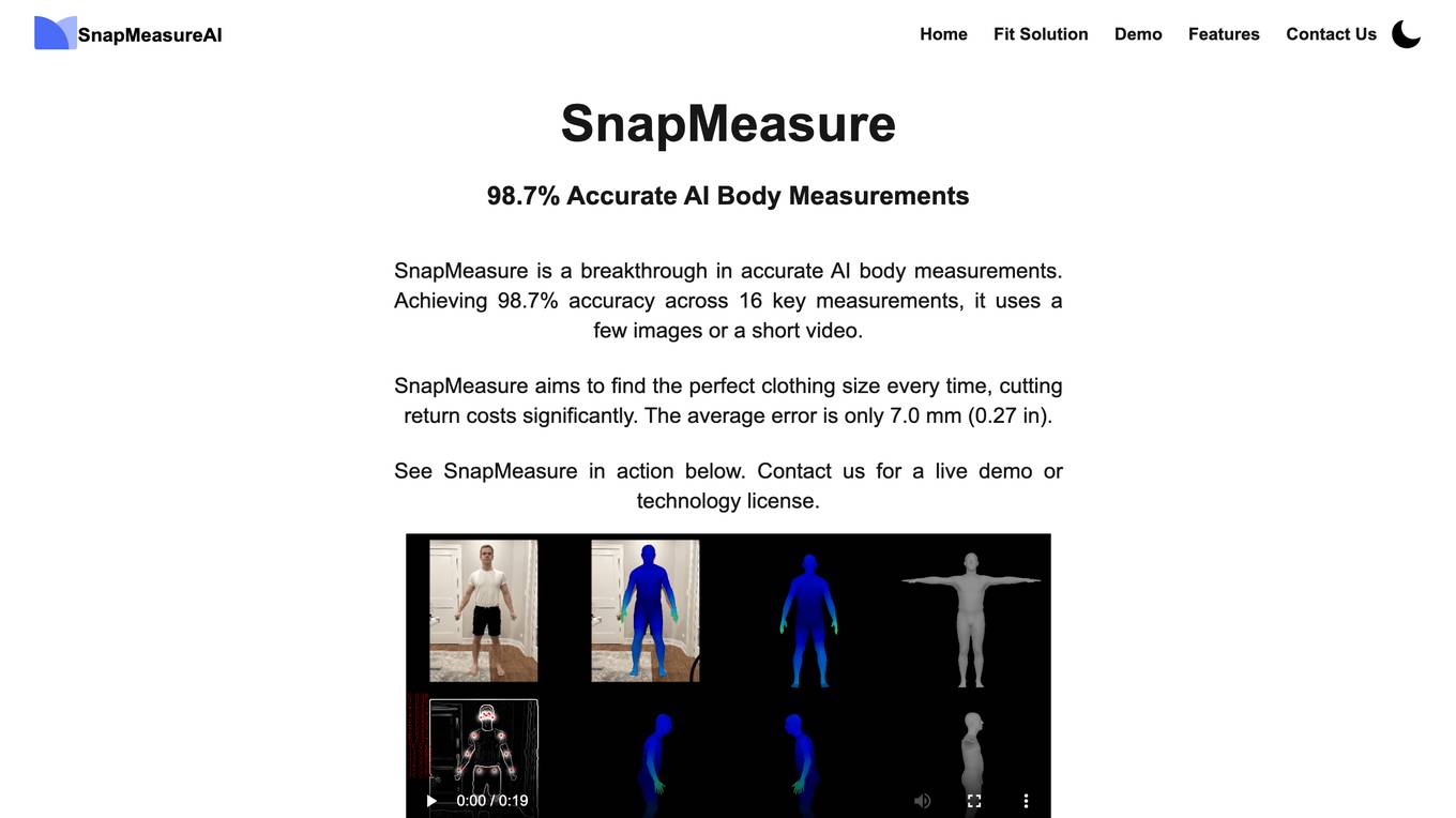
SnapMeasureAI
SnapMeasureAI is an AI application that specializes in automated AI image labeling, precise 3D body measurements, and video-based motion capture. It uses advanced AI technology to accurately understand and model the human body, working with any body type, skin tone, pose, or background. The application caters to various industries such as retail, fitness & health, AI training data, and security, offering a free demo for interested users.
Climate Change AI
Climate Change AI is a community platform dedicated to leveraging artificial intelligence to address the challenges of climate change. The platform serves as a hub for researchers, practitioners, and policymakers to collaborate, share knowledge, and develop AI solutions for mitigating the impacts of climate change. By harnessing the power of AI technologies, Climate Change AI aims to accelerate the transition to a sustainable and resilient future.
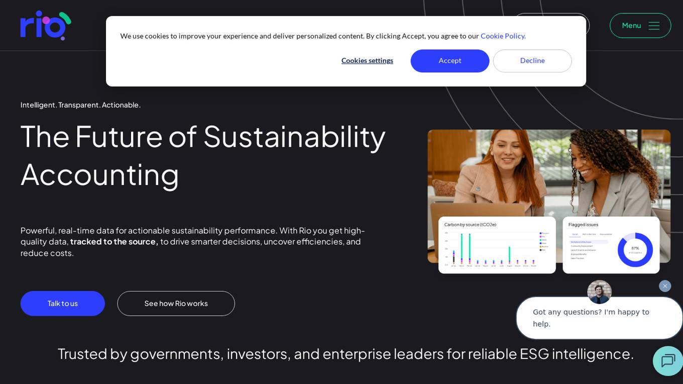
Rio Sustainability Platform
Rio Sustainability Platform is an intelligent and transparent sustainability accounting application that provides powerful, real-time data for actionable sustainability performance. The platform offers high-quality data tracked to the source to drive smarter decisions, uncover efficiencies, and reduce costs. Rio is trusted by governments, investors, and enterprise leaders for reliable ESG intelligence, translating sustainability ambitions into real-time, verifiable results using operational data and AI.
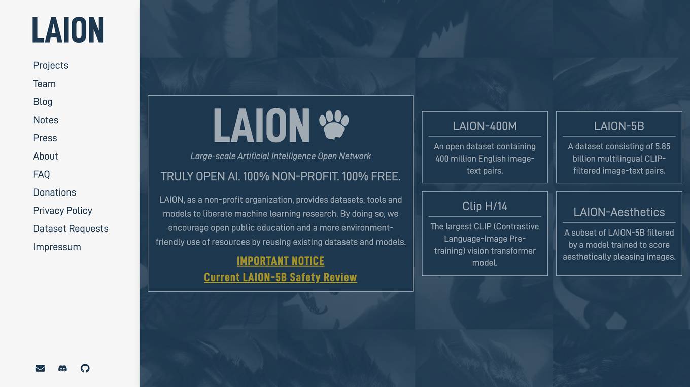
LAION
LAION is a non-profit organization that provides datasets, tools, and models to advance machine learning research. The organization's goal is to promote open public education and encourage the reuse of existing datasets and models to reduce the environmental impact of machine learning research.
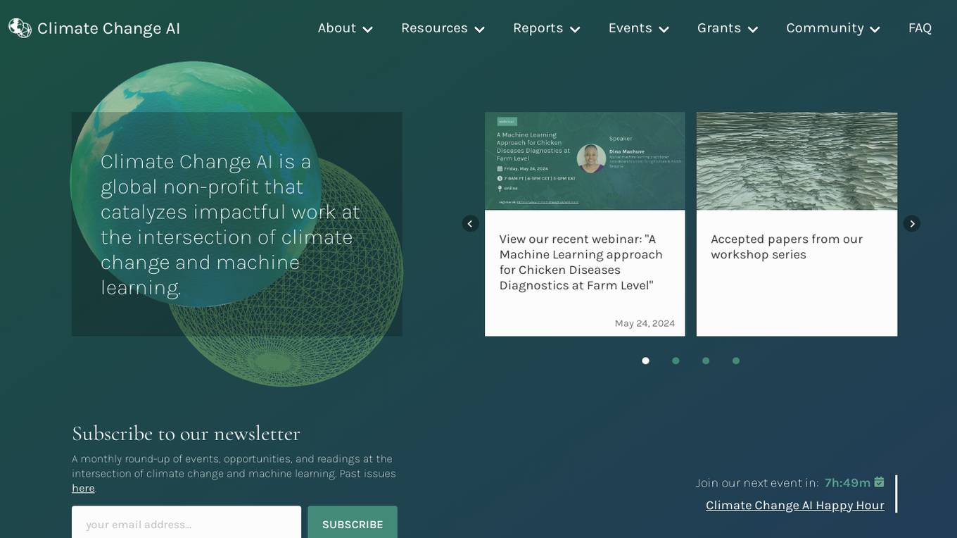
Climate Change AI
Climate Change AI is a global non-profit organization that focuses on catalyzing impactful work at the intersection of climate change and machine learning. They provide resources, reports, events, and grants to support the use of machine learning in addressing climate change challenges.
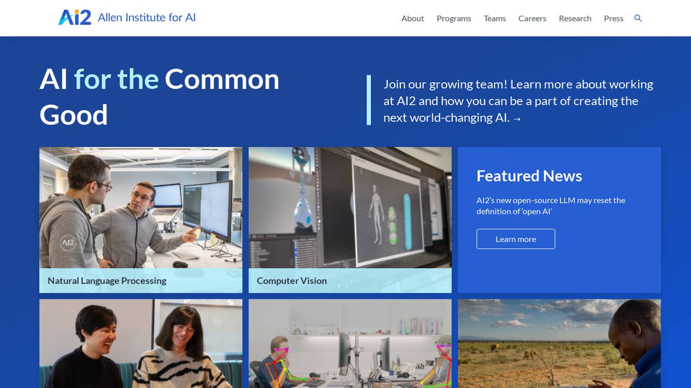
Allen Institute for AI (AI2)
The Allen Institute for AI (AI2) is a leading research institute dedicated to advancing artificial intelligence technologies for the common good. They focus on Natural Language Processing, Computer Vision, and AI applications for the environment. AI2 collaborates with diverse teams to tackle challenging problems in AI research, aiming to create world-changing AI solutions. The institute promotes diversity, equity, and inclusion in the research community, and offers opportunities for individuals to contribute to impactful AI projects.
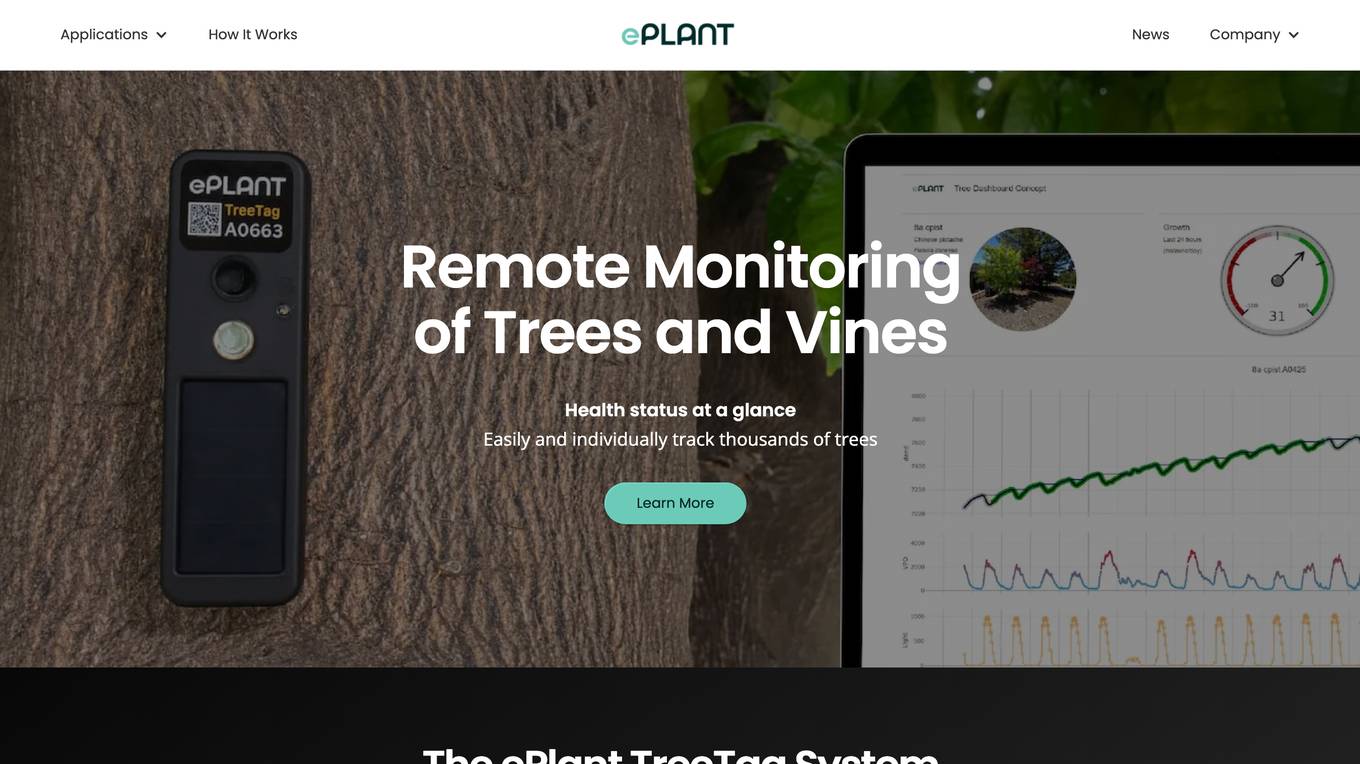
ePlant
ePlant is an advanced solution for tree care and plant research, offering precision tree monitoring from the lab to the landscape. It provides wireless monitoring solutions with advanced sensors for plant researchers and consulting arborists, enabling efficient data collection and analysis for better decision-making. The platform empowers users to track plant growth, water stress, tree lean, and sway through innovative sensors and data visualization tools. ePlant aims to simplify data management and transform complex datasets into actionable insights for users in the field of plant science and arboriculture.
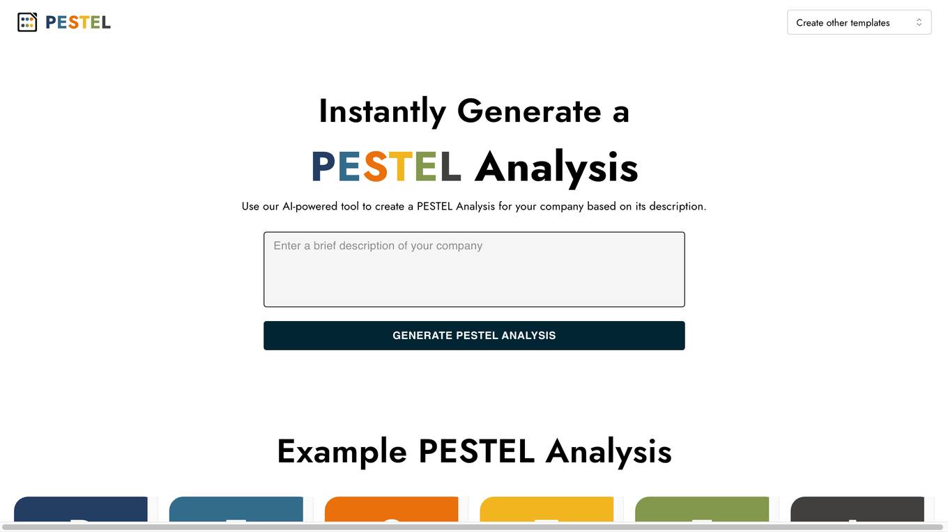
AI PESTEL Analysis Generator
The AI PESTEL Analysis Generator is a powerful tool designed to help organizations understand and evaluate external macro-environmental factors that can impact their business operations. By utilizing artificial intelligence technology, this tool instantly generates a comprehensive PESTEL Analysis based on the company's description. Users can easily edit and download the analysis as an image, enabling them to develop strategic plans to adapt and succeed in the marketplace. The tool simplifies the process of conducting a PESTEL analysis, providing valuable insights for decision-making and planning.
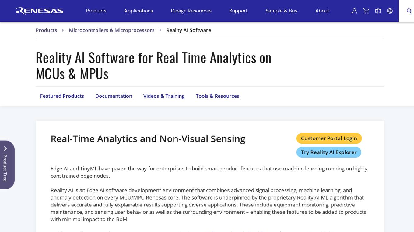
Reality AI Software
Reality AI Software is an Edge AI software development environment that combines advanced signal processing, machine learning, and anomaly detection on every MCU/MPU Renesas core. The software is underpinned by the proprietary Reality AI ML algorithm that delivers accurate and fully explainable results supporting diverse applications. It enables features like equipment monitoring, predictive maintenance, and sensing user behavior and the surrounding environment with minimal impact on the Bill of Materials (BoM). Reality AI software running on Renesas processors helps deliver endpoint intelligence in products across various markets.
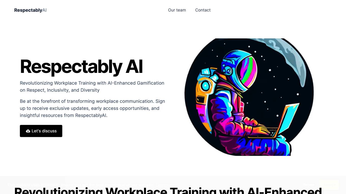
RespectablyAI
RespectablyAI is an AI-driven platform revolutionizing workplace communication by combining gamification and AI insights to provide interactive and impactful learning experiences on respect, inclusivity, and diversity. The platform offers contextual learning, adaptive feedback, seamless integration with corporate systems, engaging gamified training, and insightful analytics for targeted learning. It aims to help organizations enhance workplace culture and create respectful, inclusive, and diverse environments.
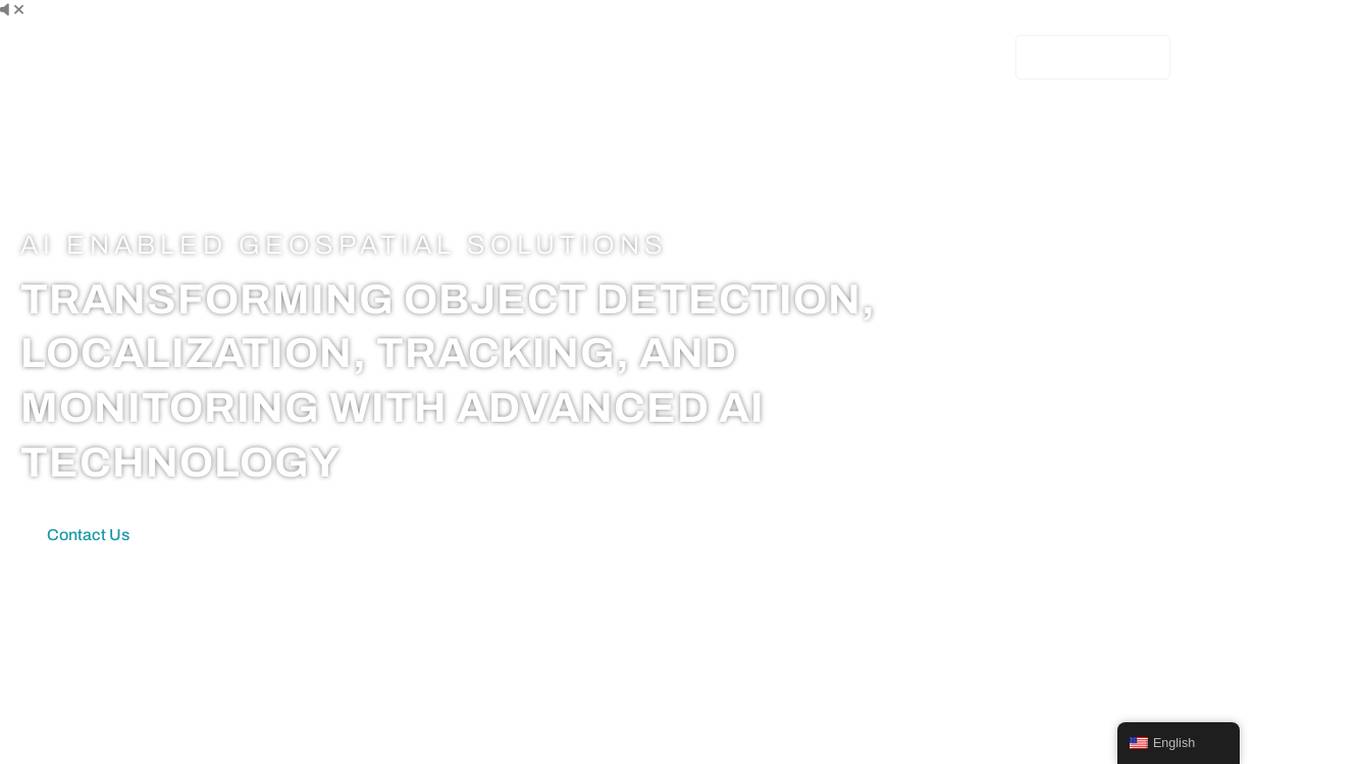
FlyPix
FlyPix is an AI-enabled geospatial solutions platform that leverages advanced AI technology to transform object detection, localization, tracking, and monitoring in the field of geospatial technology. The platform offers a wide range of capabilities, including AI-driven object analysis, change and anomaly detection, dynamic tracking, and custom use cases tailored to meet unique industry needs. FlyPix aims to provide unparalleled precision and efficiency in operations by converting complex imagery into actionable, geo-referenced insights.
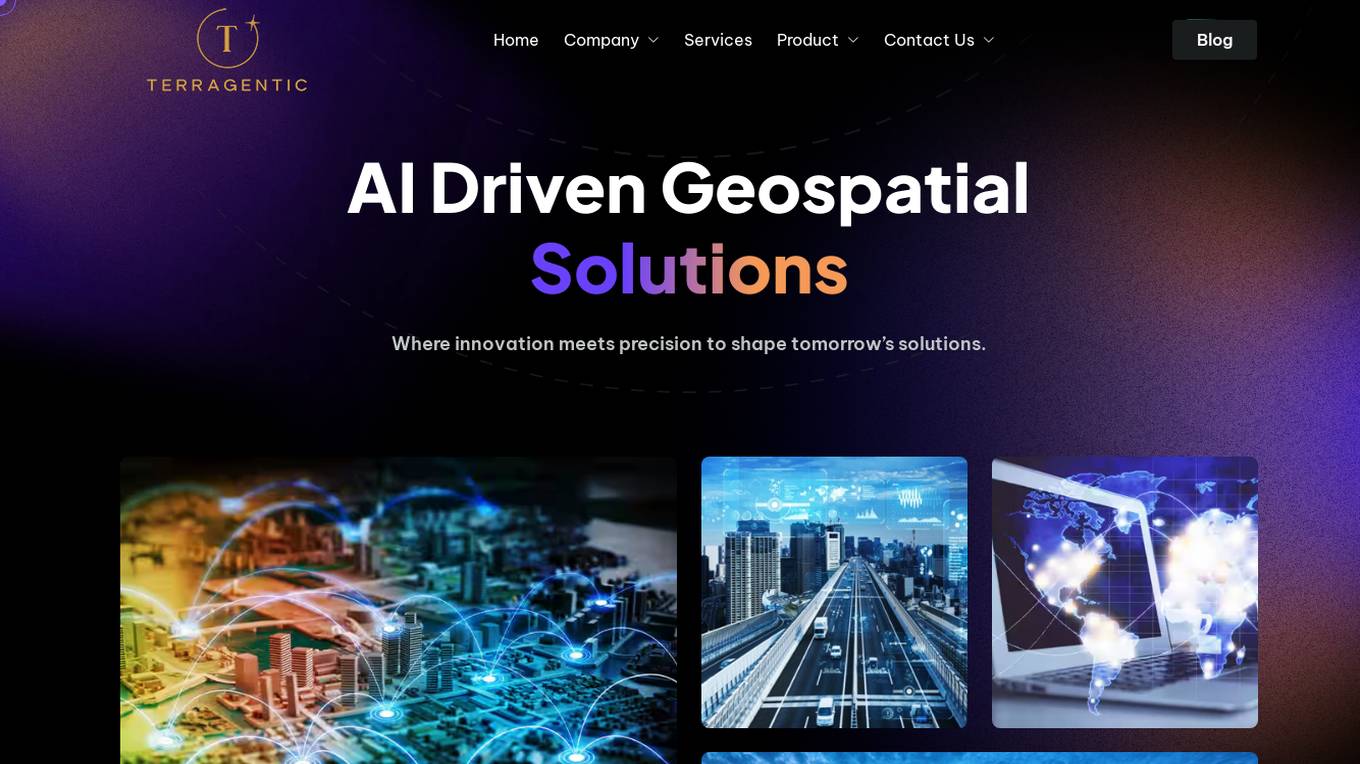
Terragentic
Terragentic is an AI-driven geospatial technology company that empowers sustainable resource management and transformative decision-making. They provide cutting-edge geospatial services, precise mapping, advanced data analytics, and innovative applications of artificial intelligence to solve complex challenges across diverse sectors. Terragentic is committed to environmental stewardship, ethical business practices, and delivering high-quality, AI-enhanced, accurate, and actionable geospatial intelligence to empower industries.
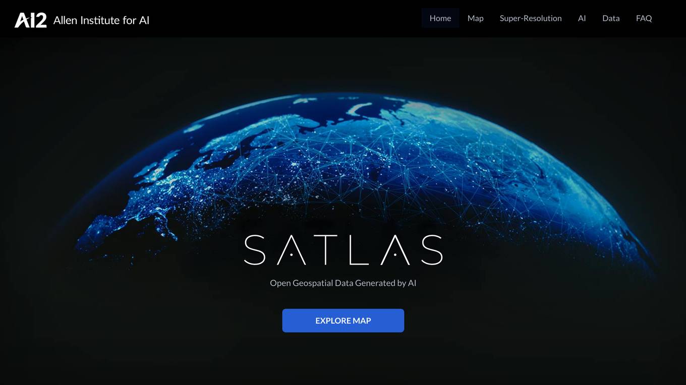
Satlas
Satlas is an AI-powered platform that provides geospatial data generated by AI models. The platform offers insights into changes in marine infrastructure, renewable energy infrastructure, and tree cover on a monthly basis. Users can explore maps showcasing developments such as wind farms, solar farms, deforestation, and more. Satlas employs advanced AI architectures and training algorithms in computer vision to enhance low-resolution satellite imagery and produce high-resolution images globally. The platform's geospatial datasets are freely available for offline analysis, along with AI models and training labels. Developed by the Allen Institute for AI, Satlas aims to advance computer vision technology for better understanding and monitoring of Earth's changes.
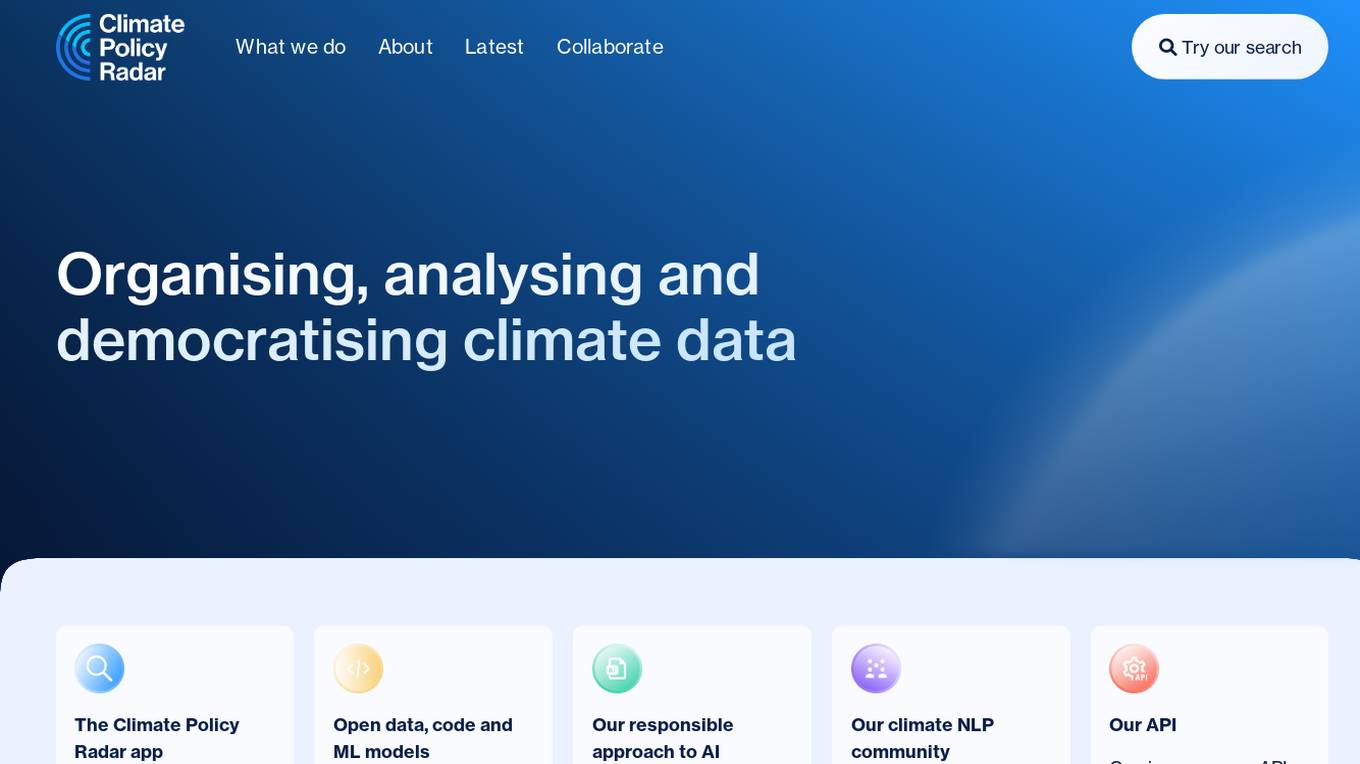
Climate Policy Radar
Climate Policy Radar is an AI-powered application that serves as a live, searchable database containing over 5,000 national climate laws, policies, and UN submissions. The app aims to organize, analyze, and democratize climate data by providing open data, code, and machine learning models. It promotes a responsible approach to AI, fosters a climate NLP community, and offers an API for organizations to utilize the data. The tool addresses the challenge of sparse and siloed climate-related information, empowering decision-makers with evidence-based policies to accelerate climate action.
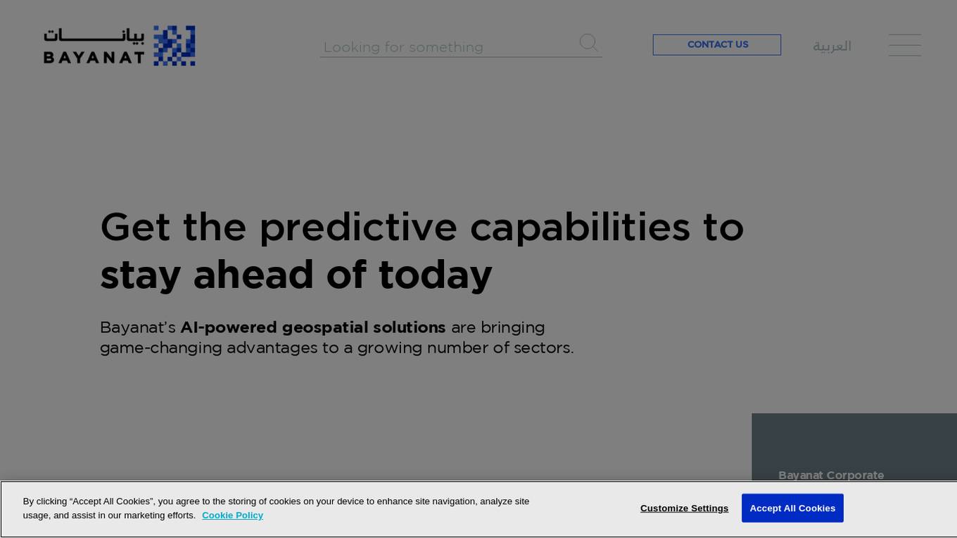
Bayanat
Bayanat is an AI-powered geospatial intelligence company that offers predictive intelligence solutions, smart operations solutions, and smart mobility solutions to various sectors such as defense, environment, energy & resources, smart cities, and transportation. With over 50 years of experience, Bayanat provides high-quality geospatial data, geo-intelligence, and AI-powered data analytics to drive human progress and create game-changing advantages for its clients in the UAE, the Middle East, and beyond.

SpatialBrowser
SpatialBrowser is a web application that provides spatial browsing capabilities for users to explore and analyze spatial data. The platform allows users to visualize geographic information, perform spatial analysis, and create interactive maps. With SpatialBrowser, users can easily navigate through spatial datasets, conduct geospatial queries, and gain insights from the data. The application is designed to be user-friendly and intuitive, making it suitable for both beginners and advanced users in various industries such as urban planning, environmental management, and business analytics.
Picterra
Picterra is a geospatial AI platform that offers reliable solutions for sustainability, compliance, monitoring, and verification. It provides an all-in-one plot monitoring system, professional services, and interactive tours. Users can build custom AI models to detect objects, changes, or patterns using various geospatial imagery data. Picterra aims to revolutionize geospatial analysis with its category-leading AI technology, enabling users to solve challenges swiftly, collaborate more effectively, and scale further.
Telborg
Telborg is a global climate news platform that provides reliable, unbiased, and ad-free reporting on climate and energy news. It offers nature-based solutions, climate finance, renewables, energy storage, hydrogen, synthetic fuels, nuclear and geothermal energy, AI and robotics for climate, materials and critical minerals, biodiversity and carbon removal, industrial decarbonization, and ClimateTech. Telborg stands out by directly sourcing news from official sources worldwide, ensuring credibility and independence in reporting.

Minimap.ai
Minimap.ai is an innovative AI-powered tool designed to provide users with detailed and accurate maps for various purposes. The tool utilizes advanced artificial intelligence algorithms to analyze and process geographical data, enabling users to generate customized maps quickly and efficiently. With Minimap.ai, users can create maps for navigation, urban planning, disaster management, and other applications with ease. The tool offers a user-friendly interface and a wide range of features to cater to different mapping needs.
0 - Open Source AI Tools
20 - OpenAI Gpts
Eco Advisor
I'm an Environmental Impact Analyzer, here to calculate and reduce your carbon footprint.
Carbon Emissions calculator: from A to B
Fornisce template per calcolare emissioni da A a B.
EcoTracker Pro 🌱📊
Track & analyze your carbon footprint with ease! EcoTracker Pro helps you make eco-friendly choices & reduce your impact. 🌎♻️
GaiaAI
The pressing environmental issues we face today require novel approaches and technological advancements to effectively mitigate their impacts. GaiaAI offers a range of tools and modes to promote sustainable practices and enhance environmental stewardship.
Botanist
Focused on groundbreaking plant biology research for agricultural, medicinal, and environmental advancements.

Climate Guardian
Expert in climate policy, data analysis, roadmaps, and socio-economic impacts, providing up-to-date news and insights
ESG Consultant
Get all the information you need for your ESG report faster and precise from the relevant documents!

PósCiênciasAmbientaisBR
Especialista em dados de pós-graduação em Ciências Ambientais do Brasil.
Environmental Disaster Analyst
Simulates and analyzes potential environmental disaster scenarios for preparedness.