Best AI tools for< Satellite Operator >
Infographic
10 - AI tool Sites

Neuraspace
Neuraspace is an AI/ML solution that offers smart autonomy for space traffic management, leading the way for Space Domain Awareness and safety. It streamlines operations by automating risk assessment and providing maneuver suggestions up to 5 days before a conjunction. Neuraspace helps satellite operators, launch service providers, defense and governmental organizations, insurance carriers, and regulators manage space traffic efficiently and cost-effectively. The platform detects threats early, provides intelligence, integrates space domain awareness, and uses a global network of sensors for 24/7 real-time protection.
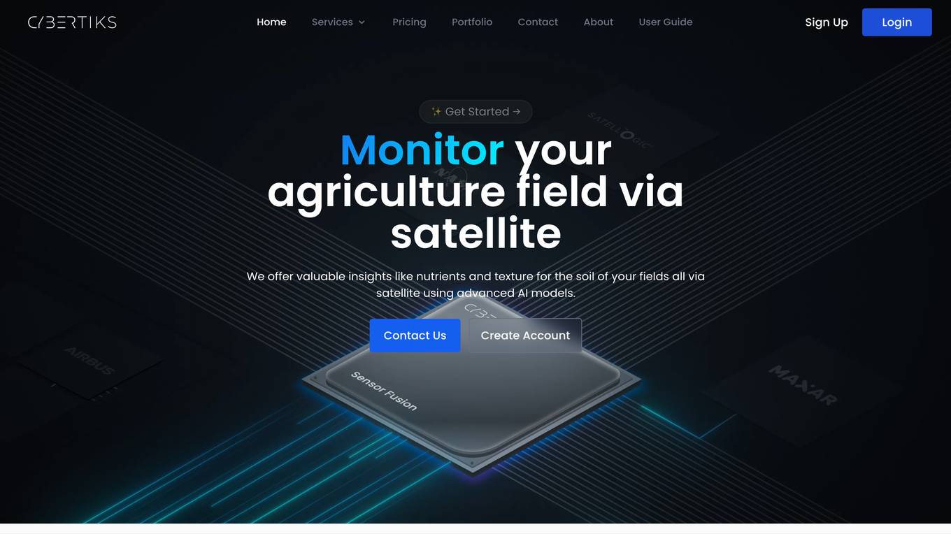
Cybertiks
Cybertiks is an AI-powered platform that offers remote monitoring and analysis of agriculture fields using satellite imagery. The platform provides valuable insights such as soil nutrients and texture, tailored AI models for accurate metrics, historical data analysis, and visualization of results on a map. Cybertiks integrates various data sources, including optical and radar data, to deliver comprehensive and strategic information to clients. The platform utilizes quantum-enabled artificial intelligence for material detection, classification, and quantification. With a focus on tailored solutions, Cybertiks empowers clients with expert knowledge in agriculture, artificial intelligence, and software development.
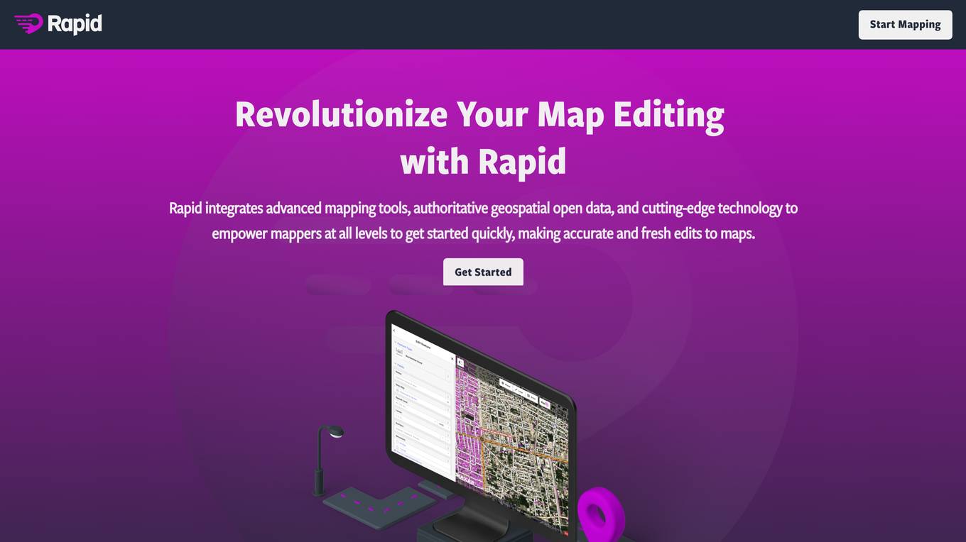
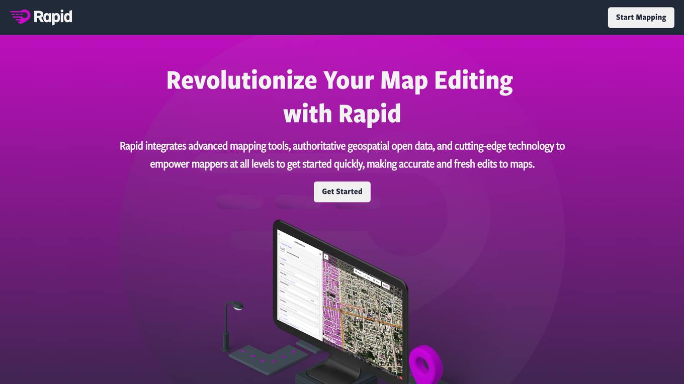
Rapid Editor
Rapid Editor is an advanced mapping tool that revolutionizes map editing by integrating cutting-edge technology and authoritative geospatial open data. It empowers OpenStreetMap mappers of all levels to quickly make accurate and fresh edits to maps. The tool saves effort by tapping into open data and AI-predicted features to draw map geometry, provides AI-analyzed satellite imagery for a high-level overview of unmapped areas, and displays open map data and machine learning detections in an intuitive user interface. Rapid Editor is designed to help map the world efficiently and is supported by a strong community of humanitarian and community groups.
Rapid Editor
Rapid Editor is an advanced mapping tool that revolutionizes map editing by integrating cutting-edge technology and authoritative geospatial open data. It empowers OpenStreetMap mappers of all levels to make accurate and fresh edits quickly. The tool saves effort by utilizing AI to identify predicted features and provide a high-level overview of unmapped data globally. Rapid Editor's intuitive interface simplifies mapping, making it clear and simple for humanitarian and community groups to facilitate mapping projects.
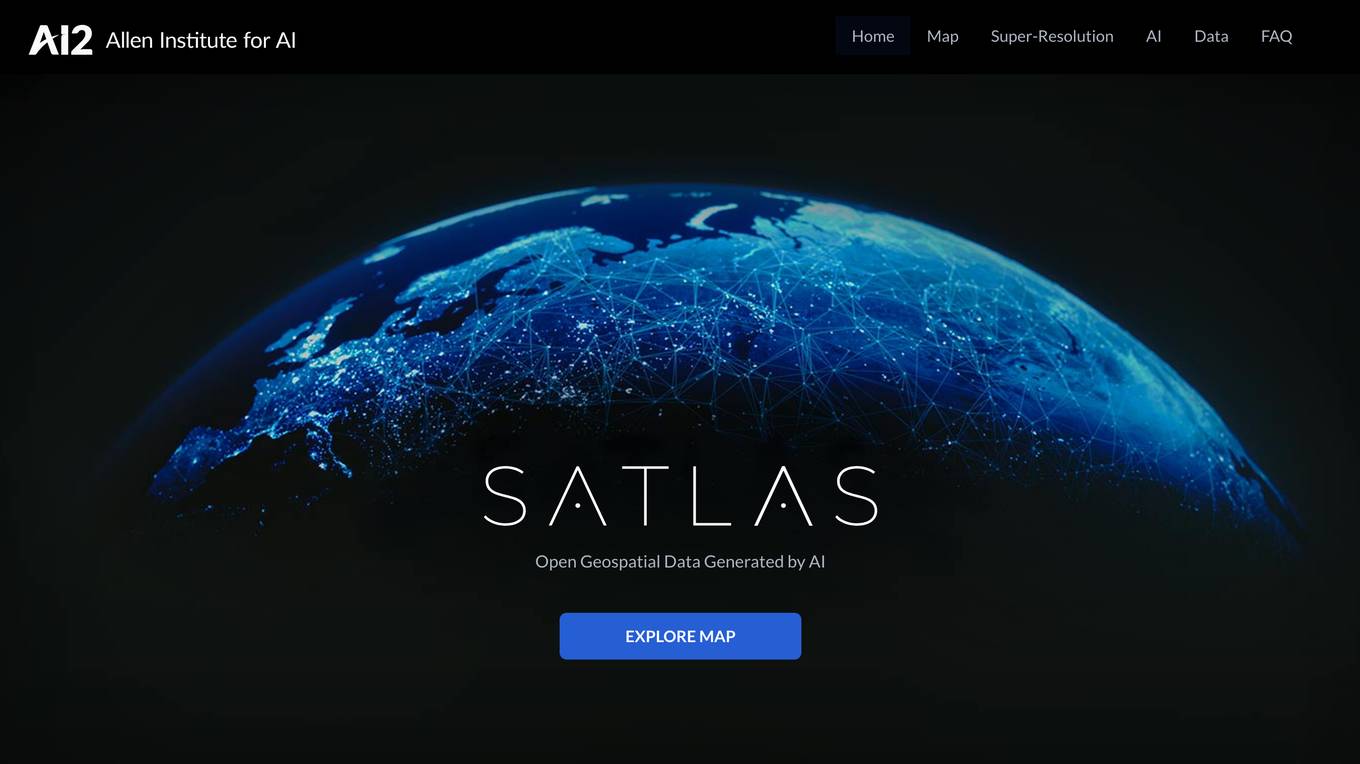
Satlas
Satlas is an AI-powered platform that provides geospatial data generated by AI models. The platform offers insights into changes in marine infrastructure, renewable energy infrastructure, and tree cover on a monthly basis. Users can explore maps showcasing developments such as wind farms, solar farms, deforestation, and more. Satlas employs advanced AI architectures and training algorithms in computer vision to enhance low-resolution satellite imagery and produce high-resolution images globally. The platform's geospatial datasets are freely available for offline analysis, along with AI models and training labels. Developed by the Allen Institute for AI, Satlas aims to advance computer vision technology for better understanding and monitoring of Earth's changes.
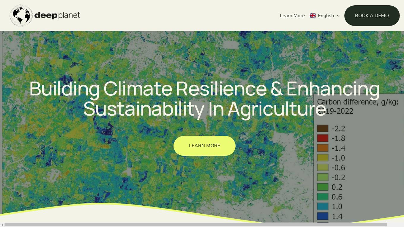
Deep Planet
Deep Planet is a precision viticulture platform powered by AI that focuses on enhancing sustainability in agriculture. It offers solutions for the wine industry, landowners, farmers, and supply chain companies by providing data-driven insights to maximize potential, optimize nutrient application, and support the transition to achieve net zero targets. The platform leverages AI and satellite imagery to empower users with actionable intelligence for better decision-making in vineyard management and soil health.
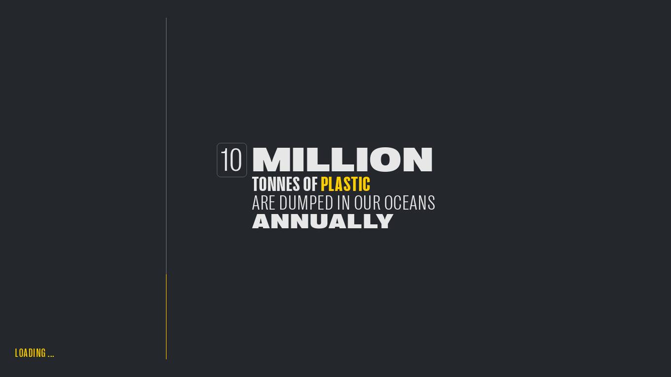
Global Plastic Watch
Global Plastic Watch (GPW) is a digital platform that maps the world's plastic pollution in near real-time using a unique combination of satellite imagery and artificial intelligence. It provides a comprehensive view of the global plastic waste crisis, including the location and size of plastic waste sites, the types of plastic waste, and the impact of plastic pollution on the environment and human health.
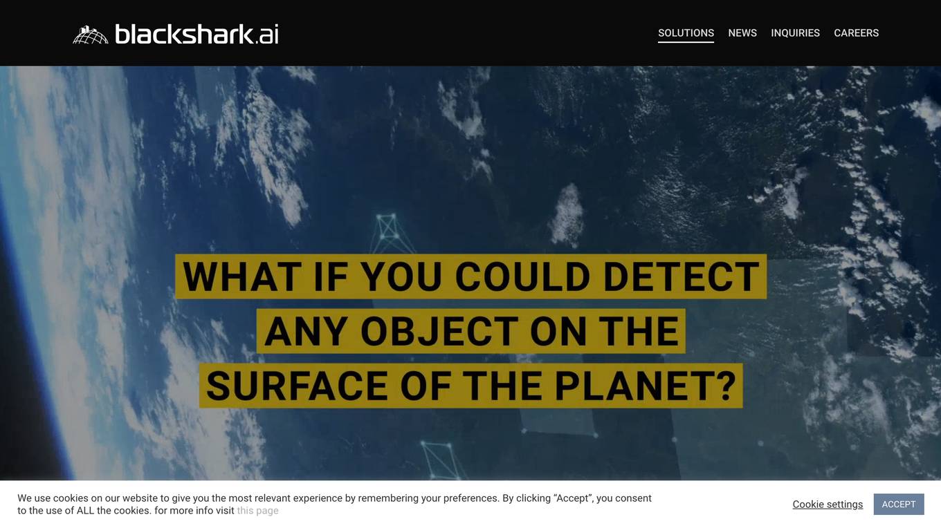
Blackshark.ai
Blackshark.ai is an AI-based platform that generates real-time accurate semantic photorealistic 3D digital twin of the entire planet. The platform extracts insights about the planet's infrastructure from satellite and aerial imagery via machine learning at a global scale. It enriches missing attributes using AI to provide a photorealistic, geo-typical, or asset-specific digital twin. The results can be used for visualization, simulation, mapping, mixed reality environments, and other enterprise solutions. The platform offers end-to-end geospatial solutions, including globe data input sources, no-code data labeling, geointelligence at scale, 3D semantic map, and synthetic environments.

VIZZIO.AI
VIZZIO.AI is an innovative AI-based platform that specializes in ultra-large-scale 3D reconstruction of digital city models worldwide. The platform utilizes smart AI algorithms to create dimensionally-accurate, photorealistic, and semantic 3D digital twins of the planet Earth. Powered by deep learning and satellite imagery, VIZZIO.AI offers timely global coverage for 3D mapping and visualization, enabling cross-platform embedding and planetary-scale city mapping. The platform's AI-based city modeling technology, known as 'EARTH ENGINE,' can identify buildings from above, extrapolate 3D reconstructions, and integrate live video feeds for immersive experiences.
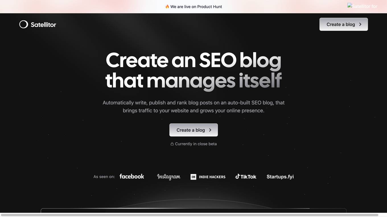
Satellitor
Satellitor is an AI-powered SEO tool that helps businesses create and manage SEO-optimized blogs. It automates the entire process of content creation, publishing, and ranking, freeing up business owners to focus on other aspects of their business. Satellitor's AI-generated content is of high quality and adheres to Google's best practices, ensuring that your blog ranks well in search results and attracts organic traffic to your website.
0 - Open Source Tools
4 - OpenAI Gpts

Secure Space Advisor
Technical satellite security expert trained on space focused cybersecurity frameworks, best practices and process.
🛸👽Sky-Watcher Ai - UFO/UAP reporting🛸👽
UFO/UAP reporting assistant with real-time satellite & flight data analysis.
Ordinals API
Knows the docs and can query official ordinal endpoints—Sat Numbers, Inscription IDs, and more.