Best AI tools for< Environmental Justice Advocate >
Infographic
20 - AI tool Sites
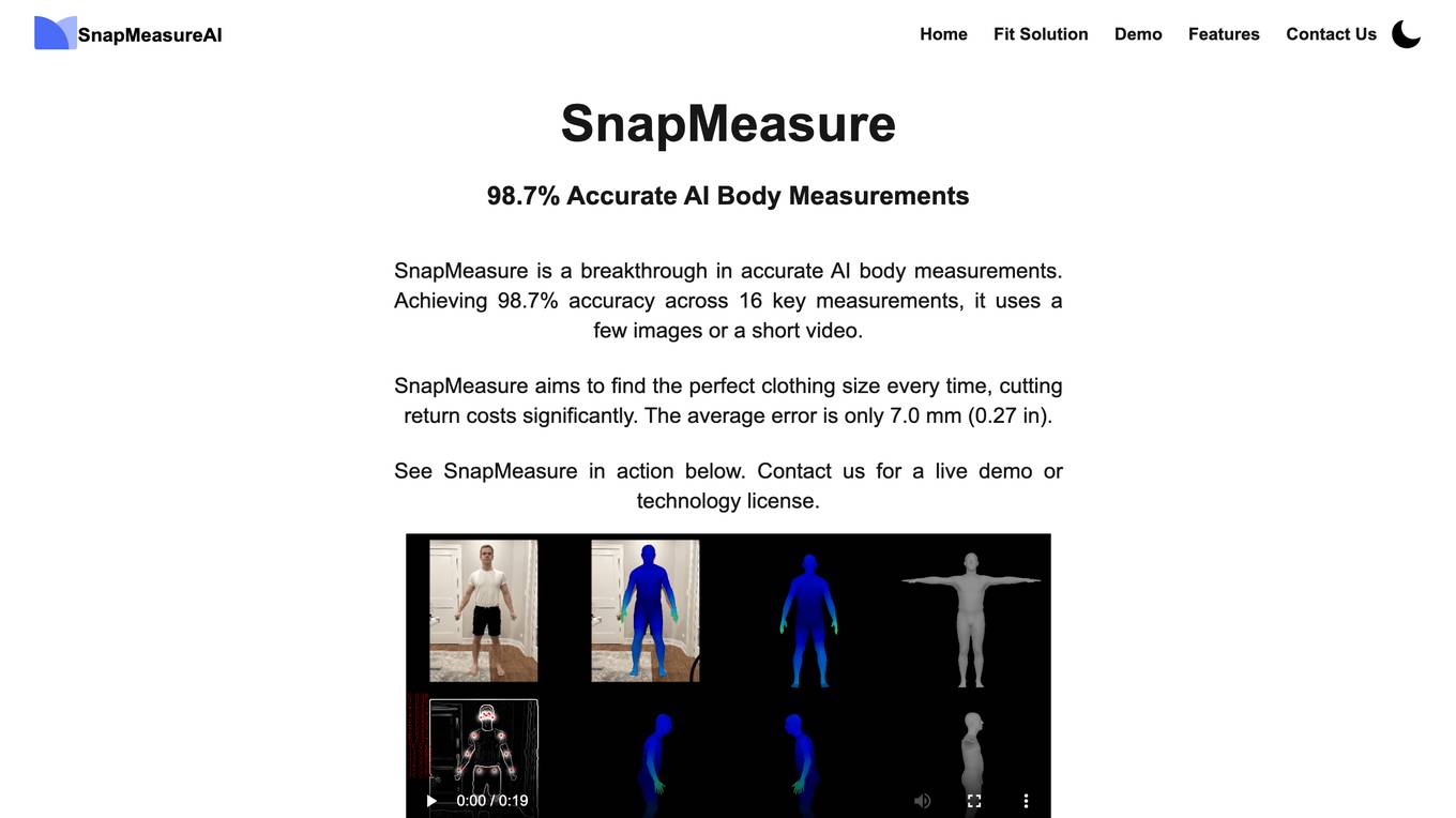
SnapMeasureAI
SnapMeasureAI is an AI application that specializes in automated AI image labeling, precise 3D body measurements, and video-based motion capture. It uses advanced AI technology to accurately understand and model the human body, working with any body type, skin tone, pose, or background. The application caters to various industries such as retail, fitness & health, AI training data, and security, offering a free demo for interested users.

viAct.ai
viAct.ai is an AI-powered construction management software and app that utilizes computer vision and video analytics to enhance workplace safety. The platform offers scenario-based AI vision technology to simplify monitoring processes, improve productivity, reduce time and cost overruns, and enhance safety measures in the construction industry. viAct.ai provides automated monitoring, PPE detection, environmental monitoring, danger zone alerts, fleet management, and work at height safety solutions. The platform's computer vision technology enables 24/7 remote visual monitoring, real-time smart alerts, and data visualization for better site progress monitoring and performance measurement.
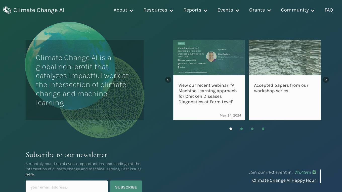
Climate Change AI
Climate Change AI is a global non-profit organization that focuses on catalyzing impactful work at the intersection of climate change and machine learning. They provide resources, reports, events, and grants to support the use of machine learning in addressing climate change challenges.
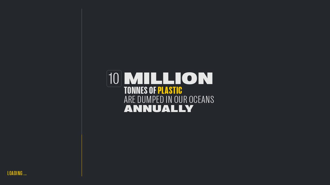
Global Plastic Watch
Global Plastic Watch (GPW) is a digital platform that maps the world's plastic pollution in near real-time using a unique combination of satellite imagery and artificial intelligence. It provides a comprehensive view of the global plastic waste crisis, including the location and size of plastic waste sites, the types of plastic waste, and the impact of plastic pollution on the environment and human health.
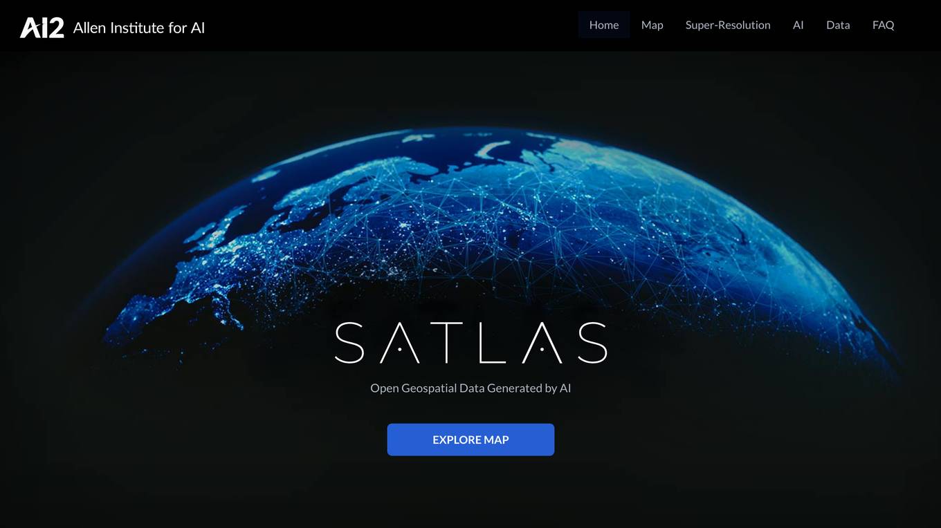
Satlas
Satlas is an AI-powered platform that provides geospatial data generated by AI models. The platform offers insights into changes in marine infrastructure, renewable energy infrastructure, and tree cover on a monthly basis. Users can explore maps showcasing developments such as wind farms, solar farms, deforestation, and more. Satlas employs advanced AI architectures and training algorithms in computer vision to enhance low-resolution satellite imagery and produce high-resolution images globally. The platform's geospatial datasets are freely available for offline analysis, along with AI models and training labels. Developed by the Allen Institute for AI, Satlas aims to advance computer vision technology for better understanding and monitoring of Earth's changes.
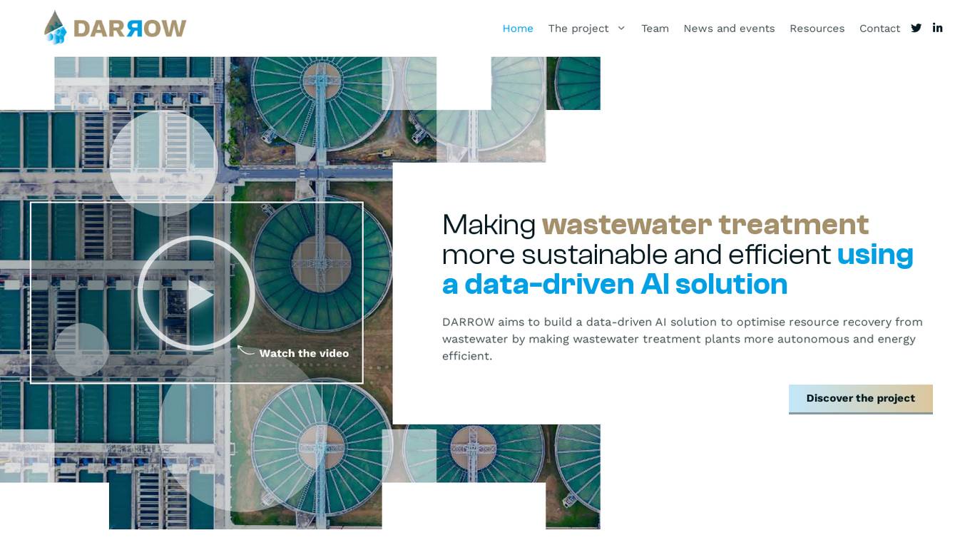
DARROW
The website focuses on the DARROW project, which aims to make wastewater treatment more sustainable and efficient using a data-driven AI solution. It brings together experts from various disciplines to optimize resource recovery from wastewater, reduce energy consumption, and contribute to a circular economy. The project utilizes AI to enhance operational efficiency in wastewater treatment plants and explores innovative solutions for cleaner water management.
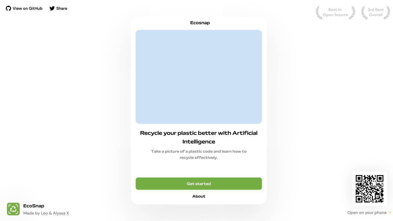
EcoSnap
EcoSnap is an AI tool designed to help users recycle plastic more effectively. By simply taking a picture of a plastic code, users can learn how to recycle the item properly. The tool aims to promote environmental sustainability by providing accurate recycling information based on artificial intelligence technology. EcoSnap is user-friendly and accessible, making it convenient for individuals looking to contribute to a greener planet.
Green Cubes
Green Cubes is an AI application that provides precise volume, complexity, and biodiversity indication of terrestrial areas at scale for Digital Reality and Sponsorship. It shapes the digital twin of nature, offering transparency and trust through Measure, Report, and Verification (MVR) using data collection, AI computation, and 3D visualization. Green Cubes enables corporations to sponsor nature impact with confidence and transparency, contributing to the preservation of biodiversity.
FlyPix
FlyPix is an AI-enabled geospatial solutions platform that leverages advanced AI technology to transform object detection, localization, tracking, and monitoring in the field of geospatial technology. The platform offers a wide range of capabilities, including AI-driven object analysis, change and anomaly detection, dynamic tracking, and custom use cases tailored to meet unique industry needs. FlyPix aims to provide unparalleled precision and efficiency in operations by converting complex imagery into actionable, geo-referenced insights.
Picterra
Picterra is a geospatial AI platform that offers reliable solutions for sustainability, compliance, monitoring, and verification. It provides an all-in-one plot monitoring system, professional services, and interactive tours. Users can build custom AI models to detect objects, changes, or patterns using various geospatial imagery data. Picterra aims to revolutionize geospatial analysis with its category-leading AI technology, enabling users to solve challenges swiftly, collaborate more effectively, and scale further.
Flora Incognita
Flora Incognita is an interactive plant species identification application that combines AI-supported plant identification with citizen science. With the ability to identify over 30,000 plant species, users can save their plant observations and access extensive plant fact sheets. The app is free of charge, advertising-free, and can be used offline, making it ideal for educational purposes and nature conservation initiatives.
Trazable LifeCycle
Trazable LifeCycle is a sustainability software designed to measure, improve, and report the sustainability of companies. It simplifies the process of measuring and reporting environmental impact by providing tools to create process maps, add environmental impact data, and generate key sustainability indicators. The software is tailored for the food industry, offering over 50 million industry-specific data points to aid in decision-making and compliance with sustainability regulations. Trazable LifeCycle ensures data validity by using constantly updated and validated datasets, allowing users to measure both product and organizational carbon footprints.
Telborg
Telborg is a global climate news platform that provides reliable, unbiased, and ad-free reporting on climate and energy news. It offers nature-based solutions, climate finance, renewables, energy storage, hydrogen, synthetic fuels, nuclear and geothermal energy, AI and robotics for climate, materials and critical minerals, biodiversity and carbon removal, industrial decarbonization, and ClimateTech. Telborg stands out by directly sourcing news from official sources worldwide, ensuring credibility and independence in reporting.
Terragentic
Terragentic is an AI-driven geospatial technology company that empowers sustainable resource management and transformative decision-making. They provide cutting-edge geospatial services, precise mapping, advanced data analytics, and innovative applications of artificial intelligence to solve complex challenges across diverse sectors. Terragentic is committed to environmental stewardship, ethical business practices, and delivering high-quality, AI-enhanced, accurate, and actionable geospatial intelligence to empower industries.
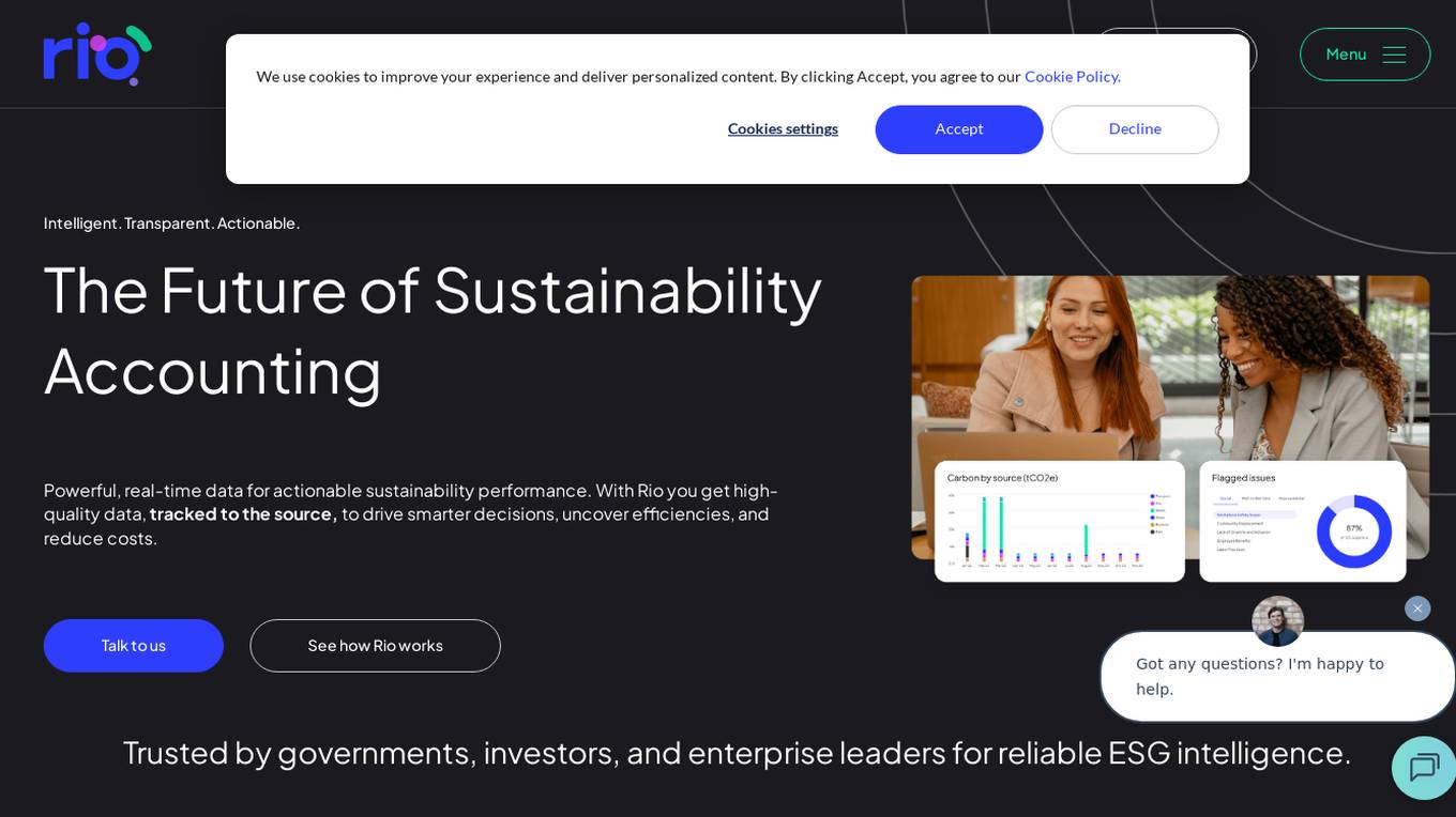
Rio Sustainability Platform
Rio Sustainability Platform is an intelligent and transparent sustainability accounting application that provides powerful, real-time data for actionable sustainability performance. The platform offers high-quality data tracked to the source to drive smarter decisions, uncover efficiencies, and reduce costs. Rio is trusted by governments, investors, and enterprise leaders for reliable ESG intelligence, translating sustainability ambitions into real-time, verifiable results using operational data and AI.
Climate Policy Radar
Climate Policy Radar is an AI-powered application that serves as a live, searchable database containing over 5,000 national climate laws, policies, and UN submissions. The app aims to organize, analyze, and democratize climate data by providing open data, code, and machine learning models. It promotes a responsible approach to AI, fosters a climate NLP community, and offers an API for organizations to utilize the data. The tool addresses the challenge of sparse and siloed climate-related information, empowering decision-makers with evidence-based policies to accelerate climate action.
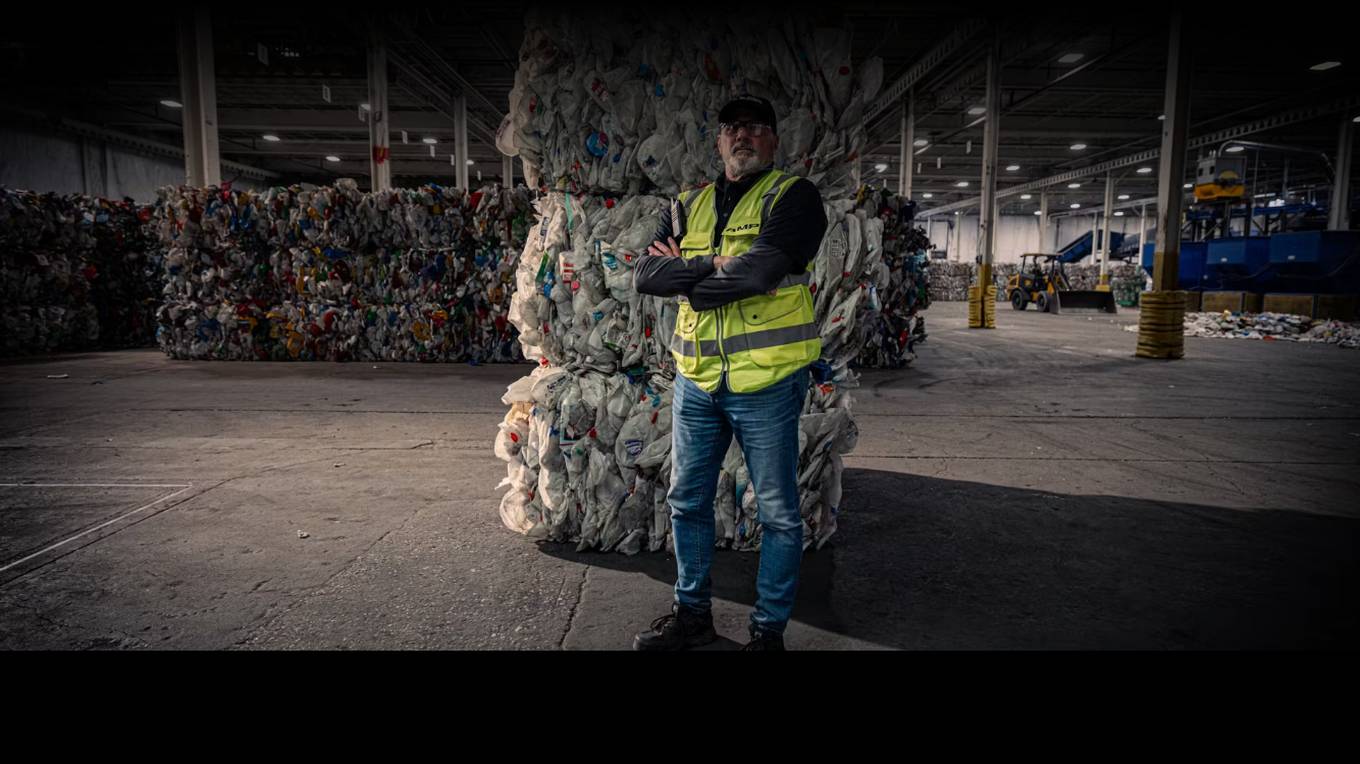
AMP Smart Sortation
AMP Smart Sortation™ is waste sortation's permanent solution. As the leader in AI-powered sortation, we give waste and recycling leaders the power to reduce labor costs, increase resource recovery, and deliver more reliable operations. AMP's AI-powered automation allows real-time material characterization and configuration to capture the most value from any material stream.
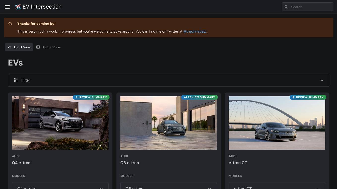
EV Intersection
EV Intersection is a website dedicated to helping users find their next electric vehicle. The site provides detailed information on various electric vehicle models, including specifications such as range, price, motor type, acceleration, and horsepower. Users can easily compare different EV models and filter them based on their preferences. Whether you're looking for a compact city car or a high-performance luxury SUV, EV Intersection has you covered with comprehensive reviews and summaries.
Value Chain Generator®
The Value Chain Generator® is an AI & Big Data platform for circular bioeconomy that helps companies, waste processors, and regions maximize the value and minimize the carbon footprint of by-products and waste. It uses global techno-economic and climate intelligence to identify circular opportunities, match with suitable partners and technologies, and create profitable and impactful solutions. The platform accelerates the circular transition by integrating local industries through technology, reducing waste, and increasing profits.

Minimap.ai
Minimap.ai is an innovative AI-powered tool designed to provide users with detailed and accurate maps for various purposes. The tool utilizes advanced artificial intelligence algorithms to analyze and process geographical data, enabling users to generate customized maps quickly and efficiently. With Minimap.ai, users can create maps for navigation, urban planning, disaster management, and other applications with ease. The tool offers a user-friendly interface and a wide range of features to cater to different mapping needs.
0 - Open Source Tools
20 - OpenAI Gpts


Revelations: Detectives, a text adventure game
Justice hangs in the balance between good and evil. Let me entertain you with this interactive true crime mystery game, lovingly illustrated in the style of the angelic and demonic hosts of Renaissance paintings.

Environmental Engineering Advisor
Advises on sustainable engineering solutions to environmental challenges.
Environmental Disaster Analyst
Simulates and analyzes potential environmental disaster scenarios for preparedness.
GaiaAI
The pressing environmental issues we face today require novel approaches and technological advancements to effectively mitigate their impacts. GaiaAI offers a range of tools and modes to promote sustainable practices and enhance environmental stewardship.
AquaAirAI
AquaAirAI is a specialized assistant that compares air and water quality across cities and regions, providing insightful reports and recommendations based on comprehensive environmental data analysis from Excel files.
EIA model
Generates Environmental impact assessment templates based on specific global locations and parameters.
Burning Earth
I'm Burning Earth, alarming users about environmental harm and climate change. Powered by Breebs (www.breebs.com)

Eco Audit
Highlights ambiguities in environmental claims, suggesting further investigation.
Wetlands
Guiding users through the world of swamps and wetlands with environmental expertise.