Best AI tools for< Analyze Urban Structures >
20 - AI tool Sites

VIZZIO.AI
VIZZIO.AI is an innovative AI-based platform that specializes in ultra-large-scale 3D reconstruction of digital city models worldwide. The platform utilizes smart AI algorithms to create dimensionally-accurate, photorealistic, and semantic 3D digital twins of the planet Earth. Powered by deep learning and satellite imagery, VIZZIO.AI offers timely global coverage for 3D mapping and visualization, enabling cross-platform embedding and planetary-scale city mapping. The platform's AI-based city modeling technology, known as 'EARTH ENGINE,' can identify buildings from above, extrapolate 3D reconstructions, and integrate live video feeds for immersive experiences.
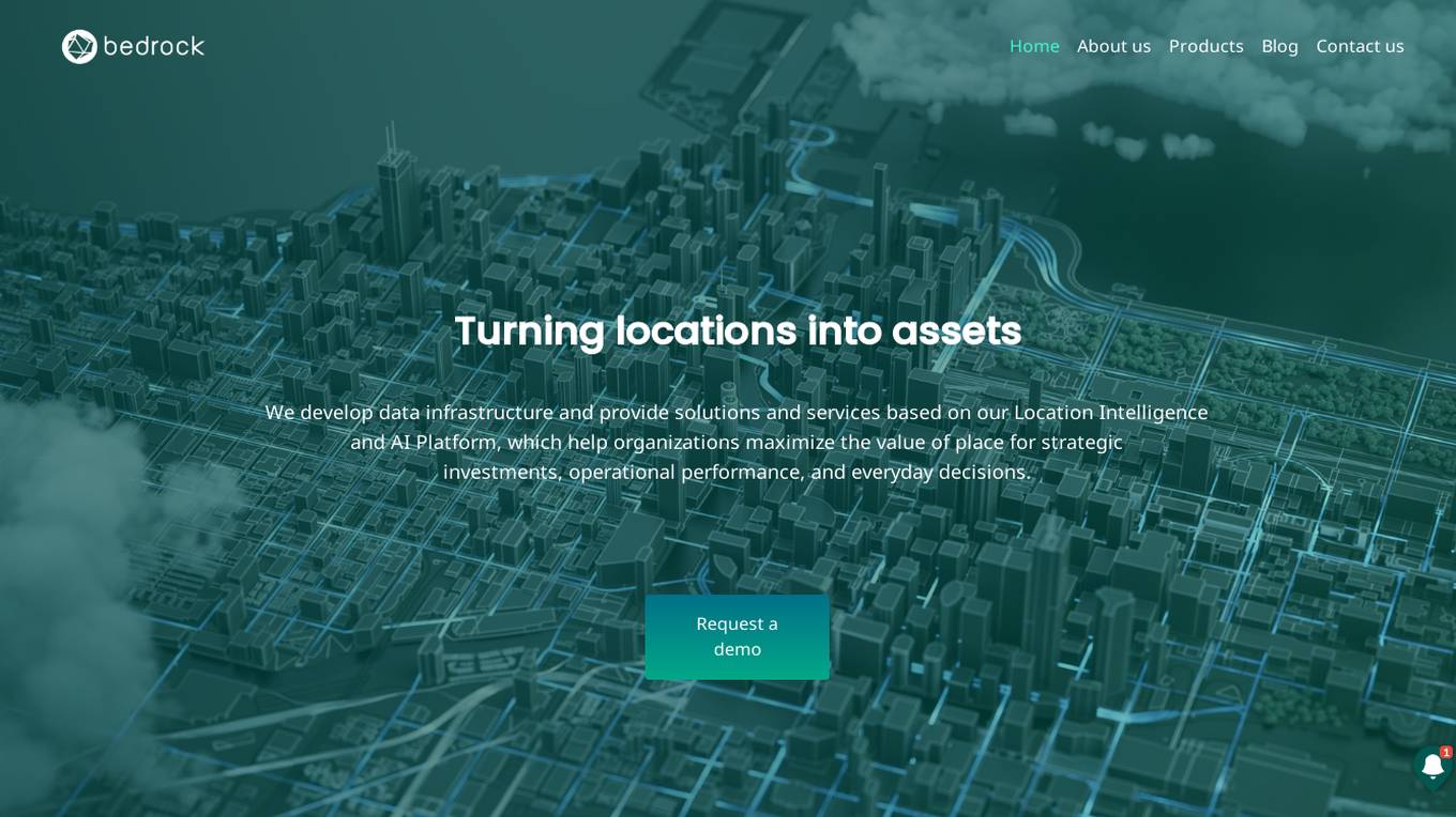
Bedrock Analytics
Bedrock Analytics is an AI-powered Location Intelligence and AI Platform that helps organizations maximize the value of place for strategic investments, operational performance, and everyday decisions. The platform offers scalable analysis and enrichment solutions embedded in web & mobile apps, with a wide range of data layers across categories such as human mobility, points of interest, and economic data. Bedrock Analytics turns locations into assets by providing the fastest, easiest, and most effective way to utilize location data for solving organizational tasks and challenges.

Minimap.ai
Minimap.ai is an innovative AI-powered tool designed to provide users with detailed and accurate maps for various purposes. The tool utilizes advanced artificial intelligence algorithms to analyze and process geographical data, enabling users to generate customized maps quickly and efficiently. With Minimap.ai, users can create maps for navigation, urban planning, disaster management, and other applications with ease. The tool offers a user-friendly interface and a wide range of features to cater to different mapping needs.
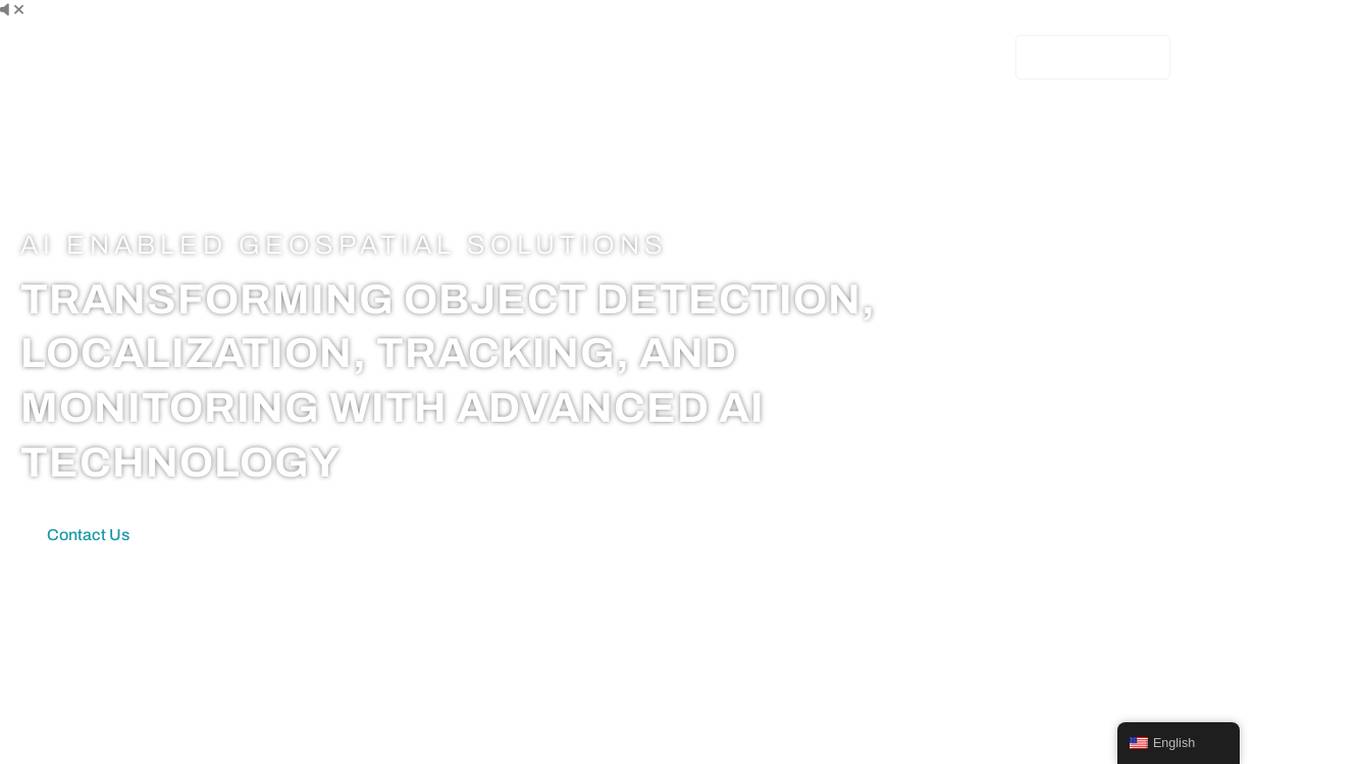
FlyPix
FlyPix is an AI-enabled geospatial solutions platform that leverages advanced AI technology to transform object detection, localization, tracking, and monitoring in the field of geospatial technology. The platform offers a wide range of capabilities, including AI-driven object analysis, change and anomaly detection, dynamic tracking, and custom use cases tailored to meet unique industry needs. FlyPix aims to provide unparalleled precision and efficiency in operations by converting complex imagery into actionable, geo-referenced insights.
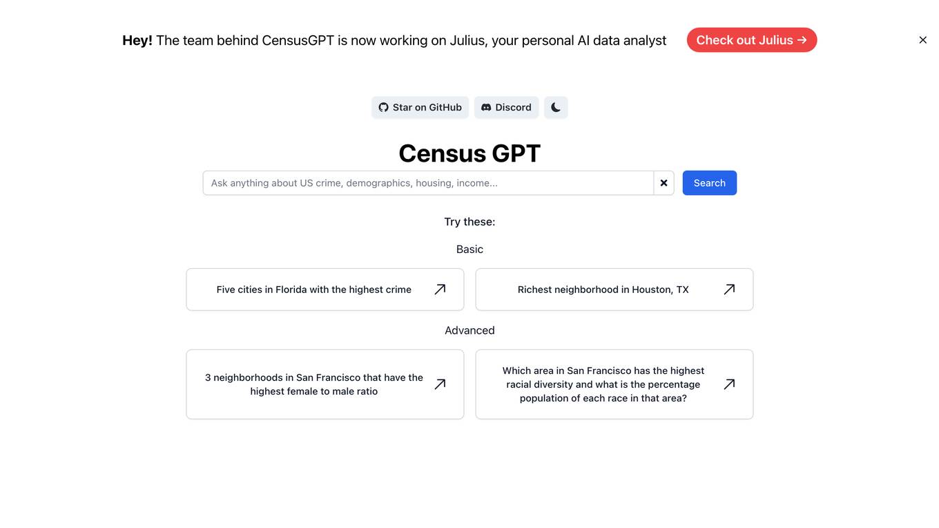
Census GPT
Census GPT is an AI tool that provides data analysis services based on census information in the USA. It offers insights on crime rates, demographics, income levels, education levels, and population statistics. Users can ask specific questions related to various locations and receive detailed answers generated by the AI.
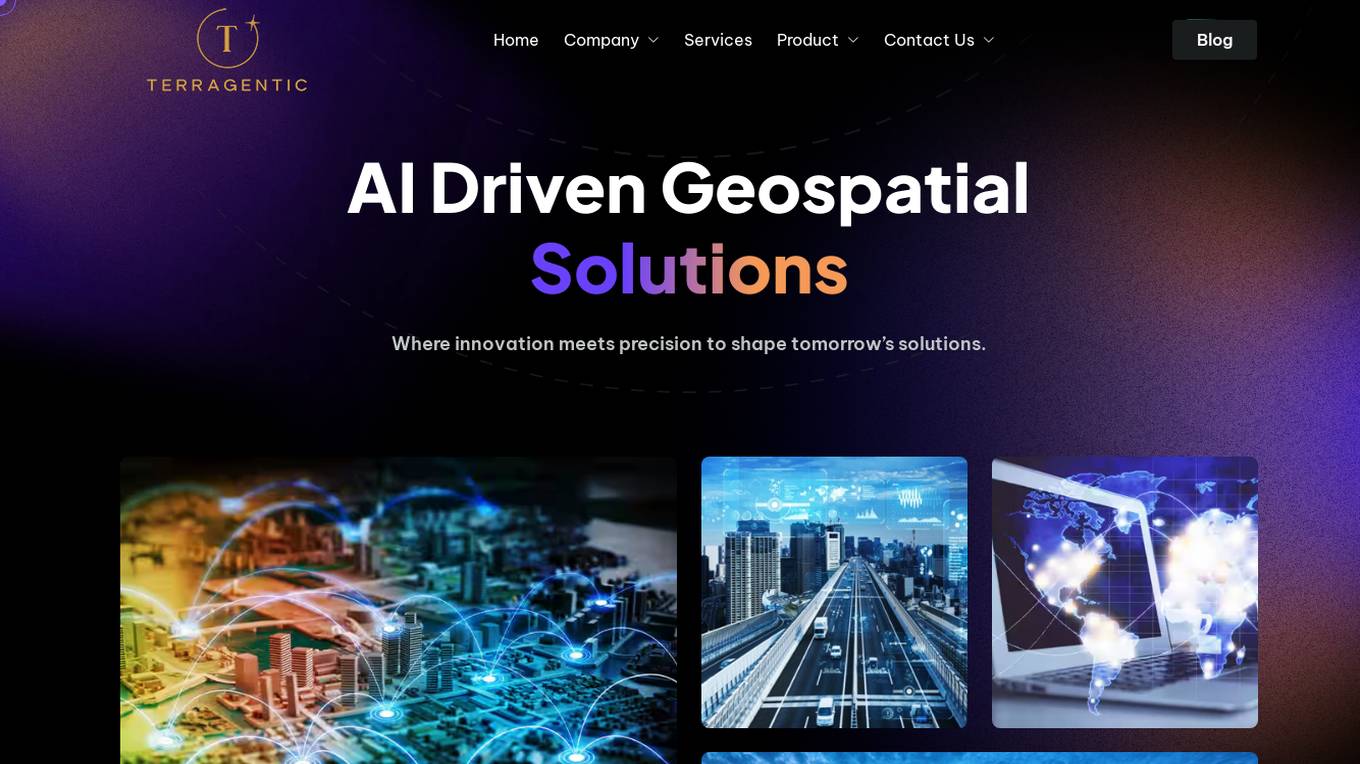
Terragentic
Terragentic is an AI-driven geospatial technology company that empowers sustainable resource management and transformative decision-making. They provide cutting-edge geospatial services, precise mapping, advanced data analytics, and innovative applications of artificial intelligence to solve complex challenges across diverse sectors. Terragentic is committed to environmental stewardship, ethical business practices, and delivering high-quality, AI-enhanced, accurate, and actionable geospatial intelligence to empower industries.
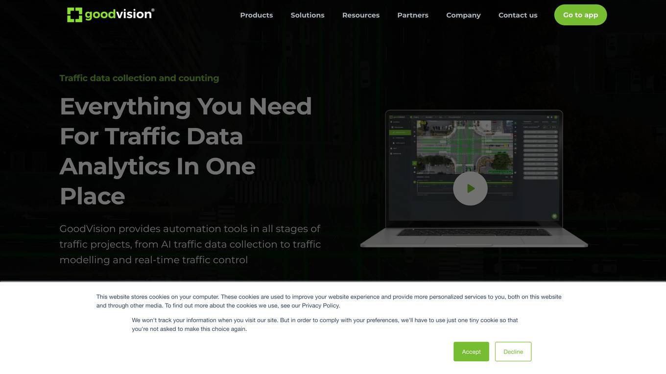
GoodVision
GoodVision is an AI-driven traffic solutions platform that empowers cities to prevent congestion, enhance safety, and optimize traffic flow using real-time camera-based analytics. The platform offers a range of products and services, including real-time traffic monitoring, automatic incident detection, traffic data collection from cameras and drones, and traffic data analytics for traffic modeling. GoodVision's cutting-edge solutions provide cities with the tools they need to make data-driven decisions and improve traffic management.
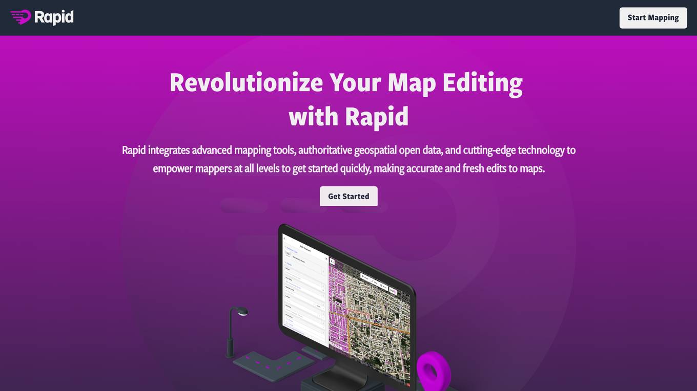
Rapid Editor
Rapid Editor is an advanced mapping tool that revolutionizes map editing by integrating cutting-edge technology and authoritative geospatial open data. It empowers OpenStreetMap mappers of all levels to quickly make accurate and fresh edits to maps. The tool saves effort by tapping into open data and AI-predicted features to draw map geometry, provides AI-analyzed satellite imagery for a high-level overview of unmapped areas, and displays open map data and machine learning detections in an intuitive user interface. Rapid Editor is designed to help map the world efficiently and is supported by a strong community of humanitarian and community groups.
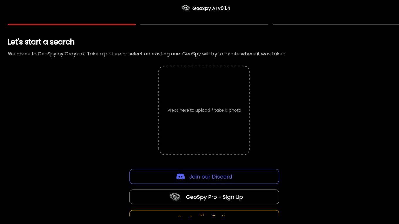
GeoSpy.ai
GeoSpy.ai is a web-based geospatial intelligence platform that provides users with access to a variety of geospatial data and tools. The platform allows users to create and share maps, analyze data, and collaborate with others. GeoSpy.ai is used by a variety of professionals, including law enforcement, intelligence analysts, and environmental scientists.
Stackademic
Stackademic is an AI-powered platform that offers free education to anyone interested in pursuing a career in Software Development. The platform aims to provide accessible learning resources to individuals worldwide, leveraging artificial intelligence to enhance the learning experience. Stackademic covers a wide range of topics related to software development, including city planning, personalized learning, big data in finance, essential software tools for landlords, and AI-powered video editing. With a focus on innovation and efficiency, Stackademic equips software developers with the tools and knowledge necessary to excel in their field.
Picterra
Picterra is a geospatial AI platform that offers reliable solutions for sustainability, compliance, monitoring, and verification. It provides an all-in-one plot monitoring system, professional services, and interactive tours. Users can build custom AI models to detect objects, changes, or patterns using various geospatial imagery data. Picterra aims to revolutionize geospatial analysis with its category-leading AI technology, enabling users to solve challenges swiftly, collaborate more effectively, and scale further.
Susterra
Susterra is an advanced analytics platform for Public Finance stakeholders, aiming to catalyze urban development by providing powerful insights. The platform integrates leading practices from academia, utilizes public data for creating relevant insights, and leverages technology innovations like ML and AI. Susterra offers solutions such as TerraScore, TerraVision, TerraView, and Impact IQ, enabling evaluation of public benefit programs in various sectors. The platform also provides data visualization tools and is powered by Google Cloud, offering state-of-the-art analytics for smart decision-making in the Municipal Bond Market and Smart Cities development.
Rekor
Rekor is an AI-powered platform that delivers revolutionary roadway intelligence by collecting, connecting, and organizing mobility data. It offers a range of software platforms, hardware systems, and applications for urban mobility, transportation management, and public safety. Rekor's technology utilizes computer vision, edge processing, and predictive algorithms to transform data into actionable intelligence, benefiting communities and businesses on a daily basis. With a focus on security standards and data governance, Rekor provides comprehensive traffic and vehicle analytics, license plate recognition, and compliance automation solutions.
Elicit
Elicit is a research tool that uses artificial intelligence to help researchers analyze research papers more efficiently. It can summarize papers, extract data, and synthesize findings, saving researchers time and effort. Elicit is used by over 800,000 researchers worldwide and has been featured in publications such as Nature and Science. It is a powerful tool that can help researchers stay up-to-date on the latest research and make new discoveries.
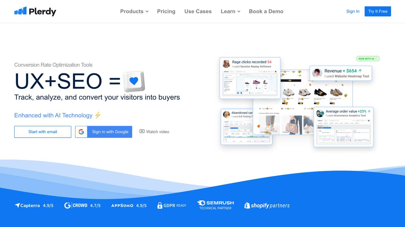
Plerdy
Plerdy is a comprehensive suite of conversion rate optimization tools that helps businesses track, analyze, and convert their website visitors into buyers. With a range of features including website heatmaps, session replay software, pop-up software, website feedback tools, and more, Plerdy provides businesses with the insights they need to improve their website's usability and conversion rates.
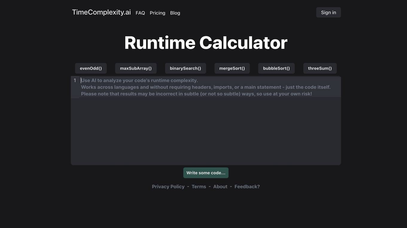
TimeComplexity.ai
TimeComplexity.ai is an AI tool that helps users analyze the runtime complexity of their code. It works seamlessly across different programming languages without the need for headers, imports, or a main statement. Users can input their code and receive insights on its runtime efficiency. However, it's important to note that the results may not always be accurate, so caution is advised when using the tool.
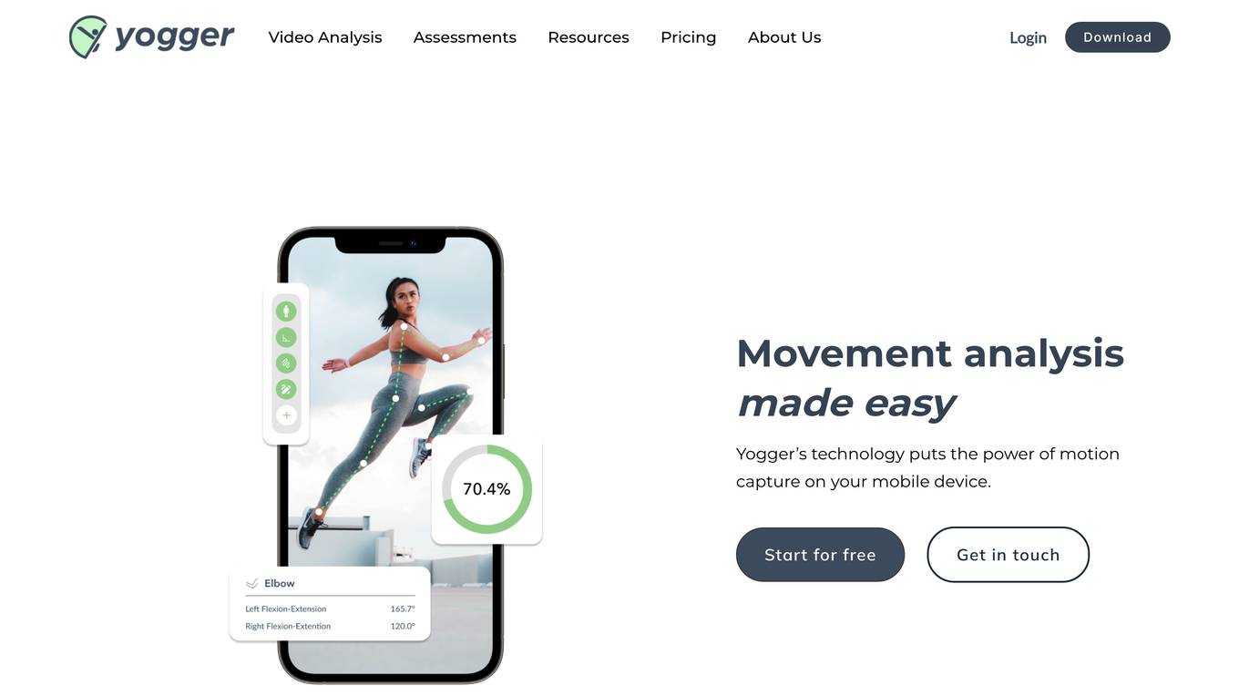
Yogger
Yogger is an AI-powered video analysis and movement assessment tool designed for coaches, trainers, physical therapists, and athletes. It allows users to track form, gather data, and analyze movement for any sport or activity in seconds. With AI-powered screenings, users can get instant scores and insights whether training in person or online. Yogger helps in recovery, training enhancement, and injury prevention, all accessible from a mobile device.
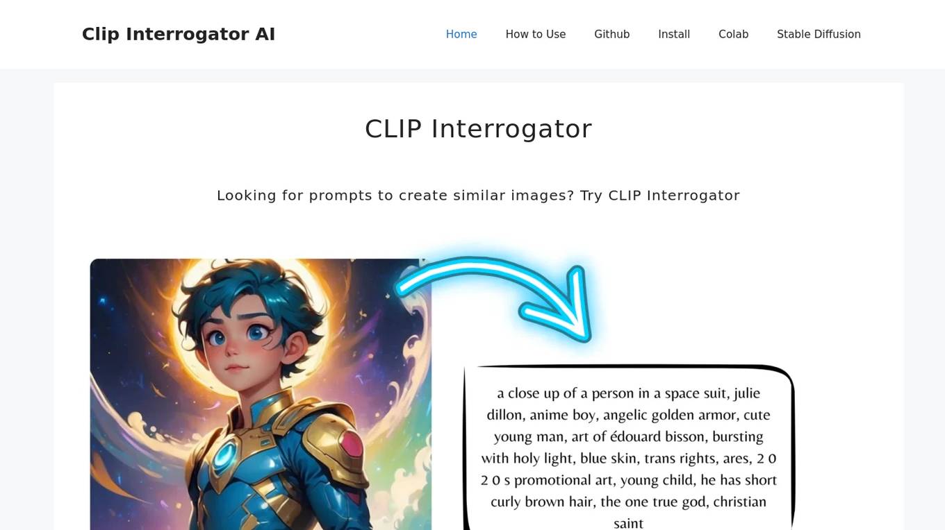
CLIP Interrogator
CLIP Interrogator is a tool that uses the CLIP (Contrastive Language–Image Pre-training) model to analyze images and generate descriptive text or tags. It effectively bridges the gap between visual content and language by interpreting the contents of images through natural language descriptions. The tool is particularly useful for understanding or replicating the style and content of existing images, as it helps in identifying key elements and suggesting prompts for creating similar imagery.
Surveyed.live
Surveyed.live is an AI-powered video survey platform that allows businesses to collect feedback and insights from customers through customizable survey templates. The platform offers features such as video surveys, AI touch response, comprehensible dashboard, Chrome extension, actionable insights, integration, predefined library, appealing survey creation, customer experience statistics, and more. Surveyed.live helps businesses enhance customer satisfaction, improve decision-making, and drive business growth by leveraging AI technology for video reviews and surveys. The platform caters to various industries including hospitality, healthcare, education, customer service, delivery services, and more, providing a versatile solution for optimizing customer relationships and improving overall business performance.
DINGR
DINGR is an AI-powered solution designed to help gamers analyze their performance in League of Legends. The tool uses AI algorithms to provide accurate insights into gameplay, comparing performance metrics with friends and offering suggestions for improvement. DINGR is currently in development, with a focus on enhancing the gaming experience through data-driven analysis and personalized feedback.
0 - Open Source AI Tools
20 - OpenAI Gpts
Urban Analyzer: LP Report Q4 2023
Urban Analyzer with consolidated files containing just UR information.

Urban Planning & Development Advisor
Urban Planning & Development Advisor discussing sustainable development and community building.
PlanGPT
Formal, professional urban planning expert, skilled in document analysis and feedback interpretation.
Pattern Language Analyzer
Analyzes architectural photos for patterns from "A Pattern Language". (Click the paperclip to upload your photo.)


PósArquiteturaEUrbanismoBR
Especialista em dados de pós-graduação em Arquitetura e Urbanismo.
Code Navigator - Hempstead, NY
Answers questions about Hempstead, NY's code with diagrams and sources.
Carbon Emissions calculator: from A to B
Fornisce template per calcolare emissioni da A a B.
TrafficFlow
A specialized AI for optimizing traffic control, predicting bottlenecks, and improving road safety.