Best AI tools for< Spatial Analyst >
Infographic
20 - AI tool Sites
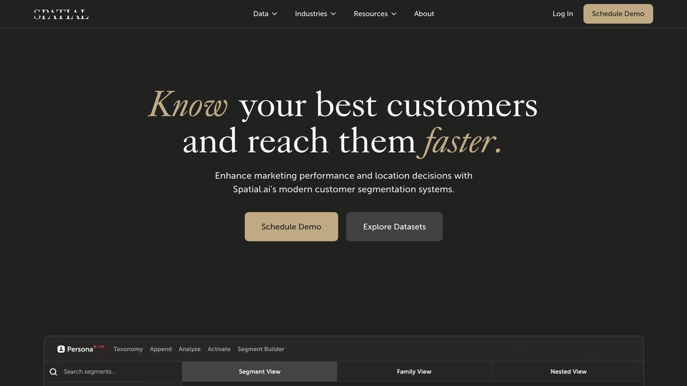
Spatial.ai
Spatial.ai is a customer segmentation platform that helps businesses understand their customers' social, mobile, and web behaviors. This data can be used to create targeted marketing campaigns, make better location decisions, and develop predictive models. Spatial.ai's data is built directly from organic consumer behavior, which means richer insights and higher accuracy.

SpatialBrowser
SpatialBrowser is a web application that provides spatial browsing capabilities for users to explore and analyze spatial data. The platform allows users to visualize geographic information, perform spatial analysis, and create interactive maps. With SpatialBrowser, users can easily navigate through spatial datasets, conduct geospatial queries, and gain insights from the data. The application is designed to be user-friendly and intuitive, making it suitable for both beginners and advanced users in various industries such as urban planning, environmental management, and business analytics.
Agentic AI
The website is a platform offering domain-specialized AI agents that drive enterprise-grade cost efficiency, operational turnaround, and unlock valuation multiples with defensible IP. It focuses on driving innovation, efficiency, and growth through Agentic AI for intelligent execution. The platform powers a structural upgrade in how work gets done, shifting from legacy, manual workflows to intelligent, self-improving systems. It is designed for secure, scalable transformation tailored to specific domains, data, and workflows.
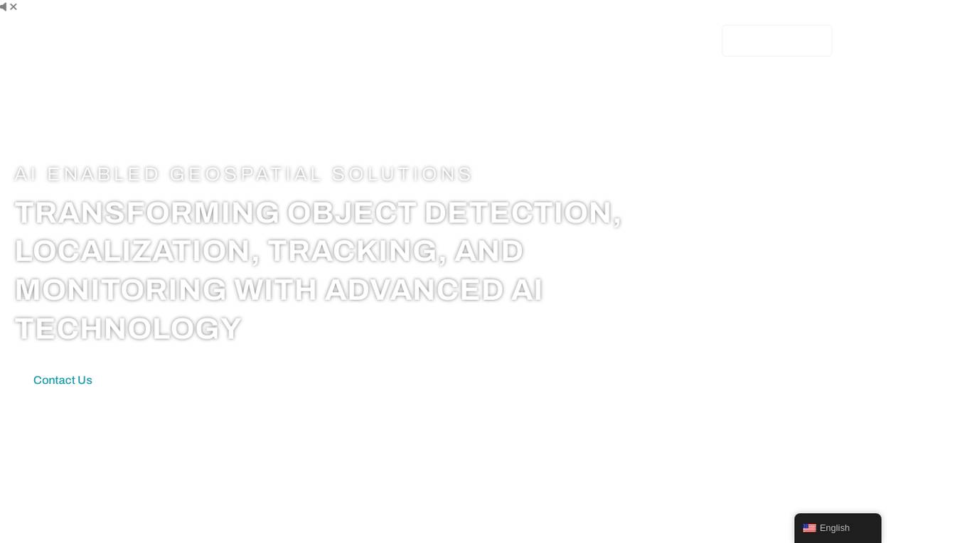
FlyPix
FlyPix is an AI-enabled geospatial solutions platform that leverages advanced AI technology to transform object detection, localization, tracking, and monitoring in the field of geospatial technology. The platform offers a wide range of capabilities, including AI-driven object analysis, change and anomaly detection, dynamic tracking, and custom use cases tailored to meet unique industry needs. FlyPix aims to provide unparalleled precision and efficiency in operations by converting complex imagery into actionable, geo-referenced insights.
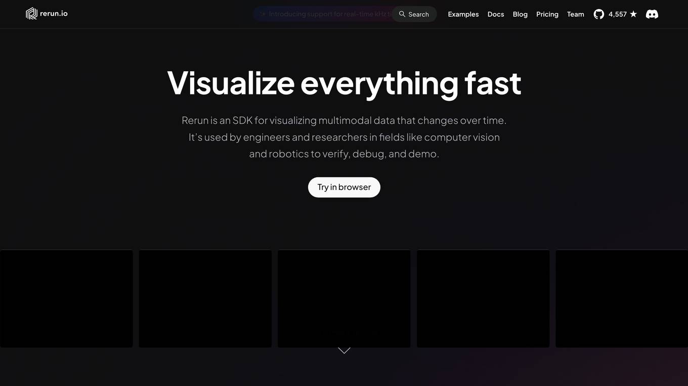
Rerun
Rerun is an SDK, time-series database, and visualizer for temporal and multimodal data. It is used in fields like robotics, spatial computing, 2D/3D simulation, and finance to verify, debug, and explain data. Rerun allows users to log data like tensors, point clouds, and text to create streams, visualize and interact with live and recorded streams, build layouts, customize visualizations, and extend data and UI functionalities. The application provides a composable data model, dynamic schemas, and custom views for enhanced data visualization and analysis.
AI Insights Hub
The website is a platform dedicated to discussing and analyzing various developments and advancements in the field of AI, particularly focusing on Large Language Models (LLMs) such as GPT-5. It provides detailed insights, release notes, and discussions on AI models, applications, and security concerns. The website covers a wide range of topics related to AI, including prompt injections, spatial joins, memory features, and project-specific memory usage.
Zensors
Zensors is an AI application that offers Visual AI agents for real-world understanding. It provides a Spatial AI platform for spatial monetization, Virtual Manager AI solution to automate location operations, and On-Prem AI for understanding spaces, monitoring service processes, forecasting accurately, and ensuring efficiency. Zensors leverages Multimodal AI for video understanding and Spatial AI for structuring unstructured data. The application caters to various industries such as Aviation, Retail, and Commercial Real Estate, offering operational efficiencies, strategic planning, financial performance, safety, and sustainability through AI-driven solutions.
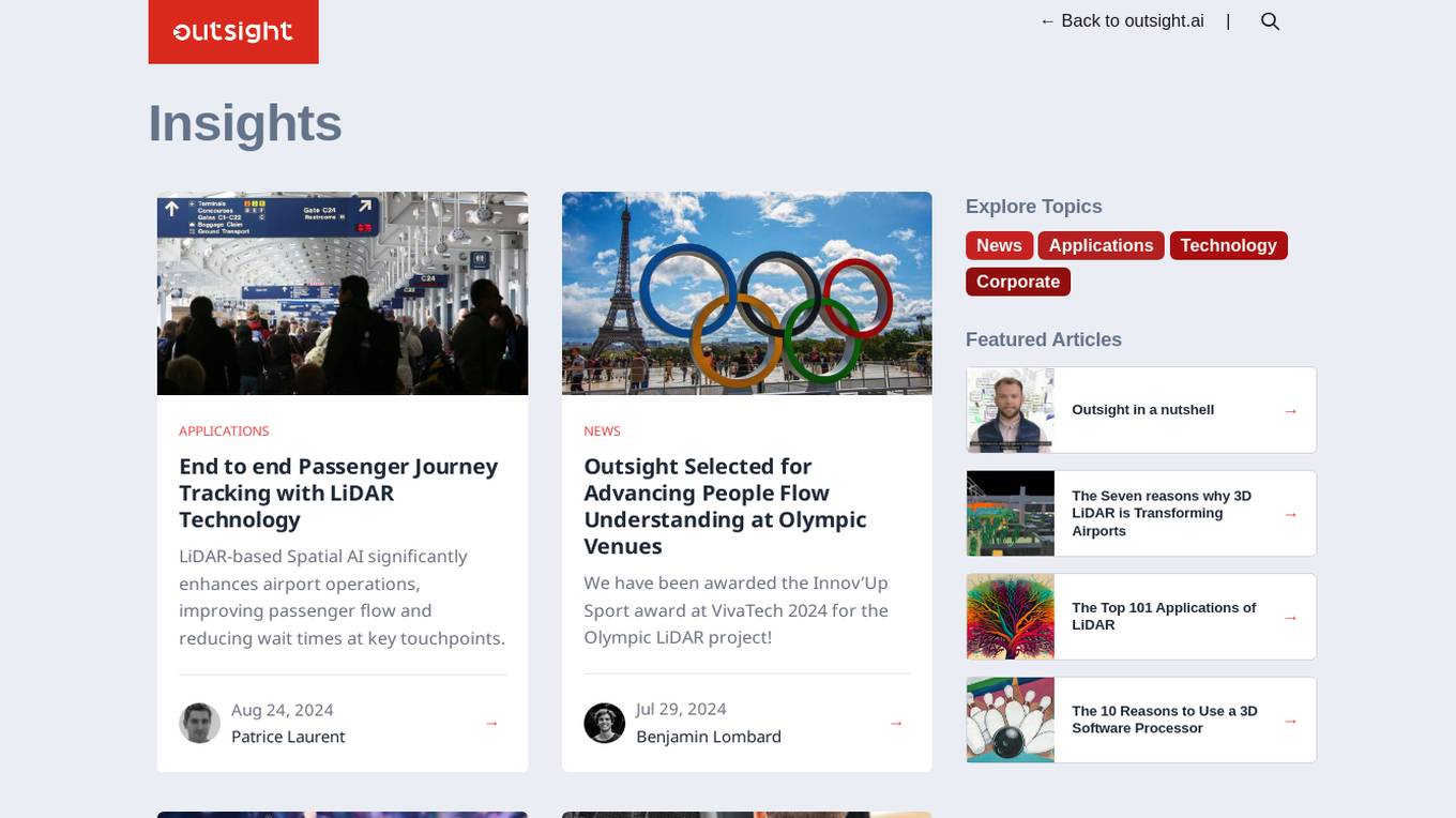
Outsight
Outsight is an AI application that utilizes LiDAR technology to provide end-to-end passenger journey tracking, enhance airport operations, improve security solutions, and transform various industries. The application offers high-accuracy, all-weather monitoring, reduces false alarms, and enhances perimeter and access control. Outsight collaborates with industry leaders to deliver unprecedented solutions in the field of Spatial AI, making spaces truly smart and revolutionizing the way we perceive reality.

VOLV
VOLV is an AI application that enhances the shopping experience by providing personalized product suggestions based on individual's facial/body features. It offers recommendations for eyewear, jewelry, makeup, personal grooming, and apparel, transforming the online shopping experience across various industries. Additionally, VOLV introduces Spatial Technology, allowing customers to engage with products in hyper-realistic 3D interactive lines and try products virtually before buying. The application prioritizes privacy and security, ensuring encrypted end-to-end experiences.
DataVLab Solutions
DataVLab Solutions is an AI-powered platform offering comprehensive image annotation and data labeling services for AI applications. They provide high-quality, scalable, and ethical data labeling solutions to enhance AI and machine learning models. With expertise in image, video, 3D annotation, custom AI projects, NLP, and text annotation, DataVLab Solutions caters to various industries such as energy infrastructure, autonomous vehicles, agriculture, medical, e-commerce, and insurance. Their advanced annotation process accelerates data labeling, ensuring precision and efficiency. Leveraging AI-driven tools, they offer tailor-made annotation workflows for unique AI challenges, delivering high-quality annotations for computer vision models, dynamic data, and spatial AI. The platform also provides training data and fine-tuning support for Large Language Models and generative AI applications.
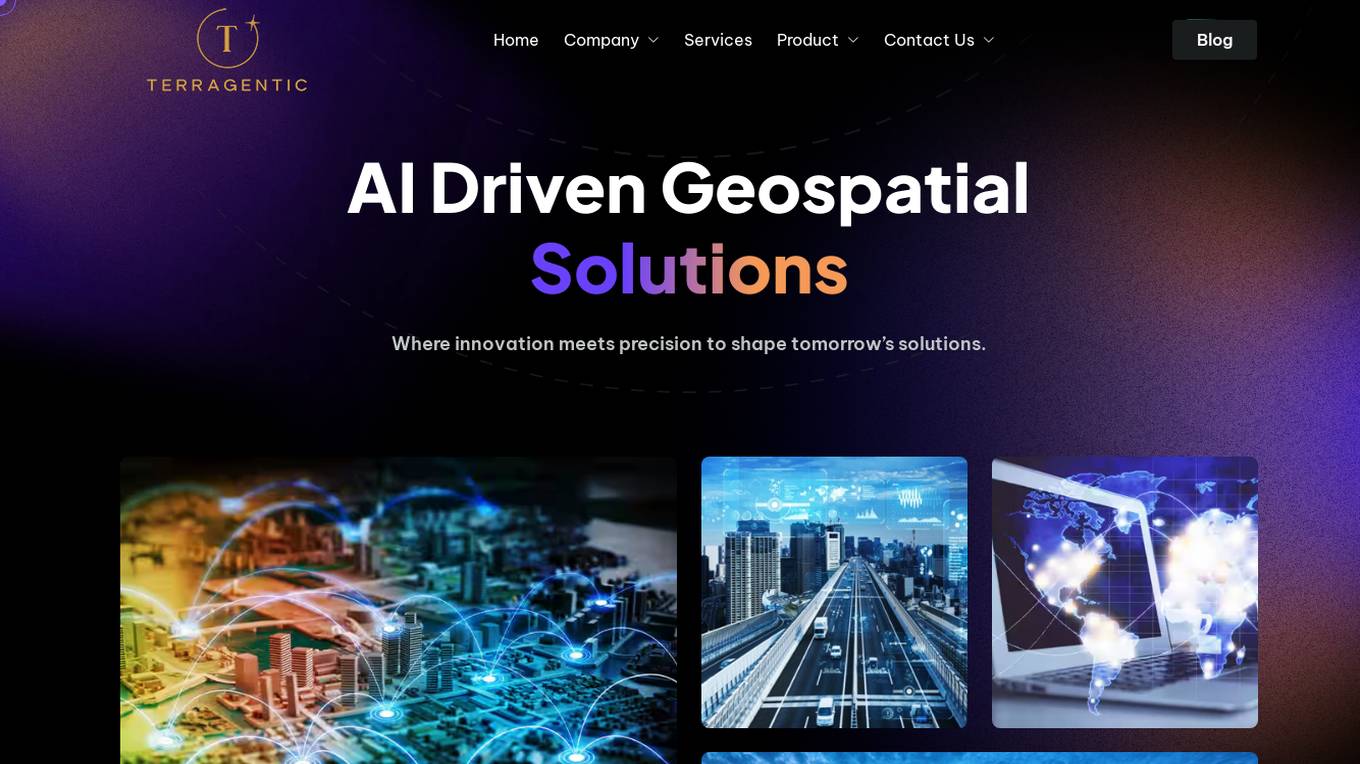
Terragentic
Terragentic is an AI-driven geospatial technology company that empowers sustainable resource management and transformative decision-making. They provide cutting-edge geospatial services, precise mapping, advanced data analytics, and innovative applications of artificial intelligence to solve complex challenges across diverse sectors. Terragentic is committed to environmental stewardship, ethical business practices, and delivering high-quality, AI-enhanced, accurate, and actionable geospatial intelligence to empower industries.
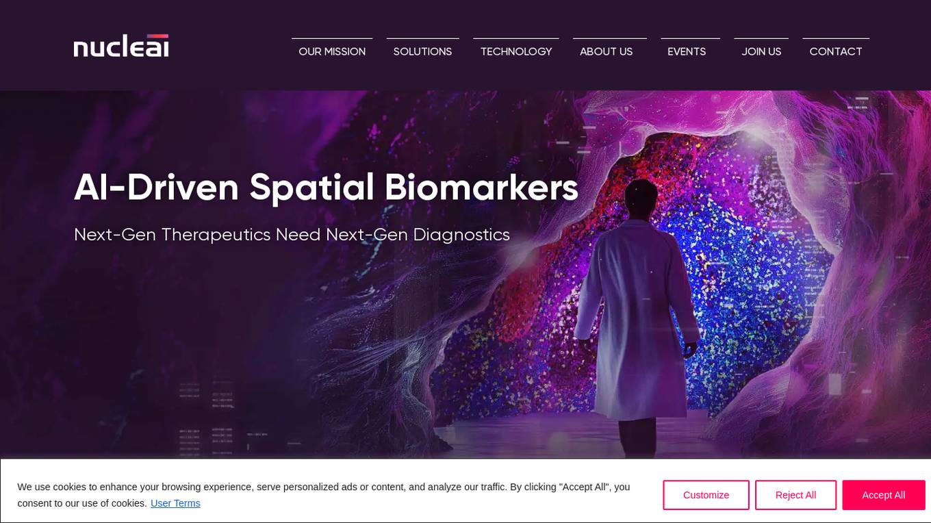
Nucleai
Nucleai is an AI-driven spatial biomarker analysis tool that leverages military intelligence-grade geospatial AI methods to analyze complex cellular interactions in a patient's biopsy. The platform offers a first-of-its-kind multimodal solution by ingesting images from various modalities and delivering actionable insights to optimize biomarker scoring, predict response to therapy, and revolutionize disease diagnosis and treatment.
Scrollsequence
Scrollsequence is an AI-powered tool designed to create immersive digital experiences by synchronizing video content with user scroll speed. It offers spatial motion analysis, allowing HTML content to detect 3D depth and movement. Users can easily generate animations using AI technology, without the need for a 3D studio. Scrollsequence bridges the gap between video and code, enabling users to animate sequences, blocks, or full sections directly in the Gutenberg editor.
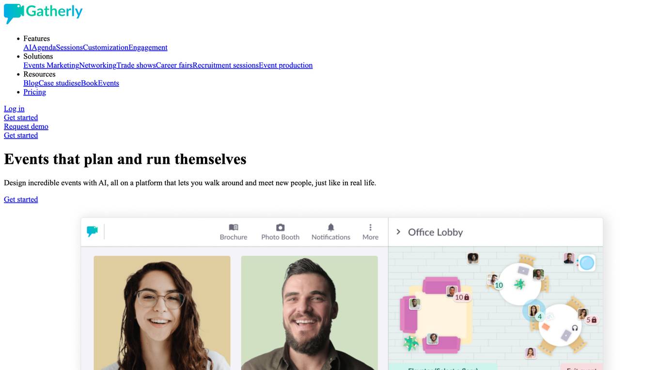
Gatherly
Gatherly is an online platform that redefines event engagement by creating immersive virtual spaces where participants can move, meet, and connect just like in real life, but better. With features like always-on cams/mics, spatial navigation, and end-to-end event management support, Gatherly aims to enhance online interactions and event experiences. The platform is effortless to use, boosting event engagement and providing valuable analytics to track performance.
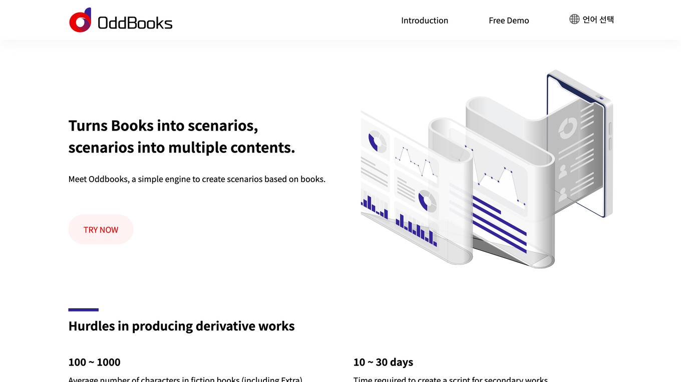
OddBooks
OddBooks is an AI-powered tool that transforms books into scenarios, enabling users to create various content types such as audiobooks, webtoons, animations, and movies. It simplifies the process of producing derivative works by extracting character names, emotions, spatial and sound keywords, and inferring character personalities from the text. With OddBooks, users can easily generate scripts for secondary works in a fraction of the time it would traditionally take, revolutionizing the scenario creation process.
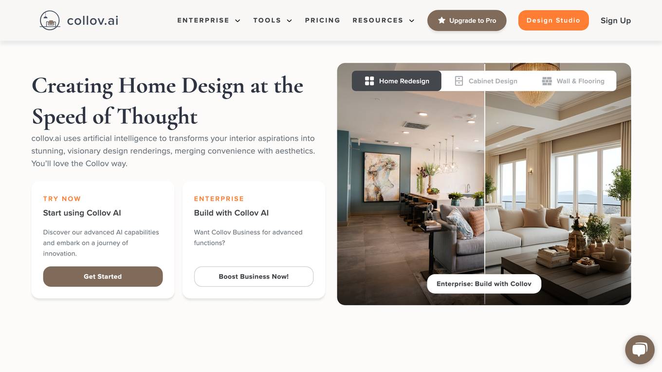
AI Spatial Design
The website offers an AI Spatial Design tool that revolutionizes spatial design by providing advanced intelligence for creating and interacting with spaces. It features high-fidelity 3D modeling, real-time interaction, and transforming photos into visual experiences. Users can customize their buyer journey, boost walk-ins, and elevate living spaces with spatial intelligence. The tool also offers services for cabinet design, flooring, wall fill, countertop fill, furniture replacement, interior design, home redesign, partial remodel, and virtual staging.
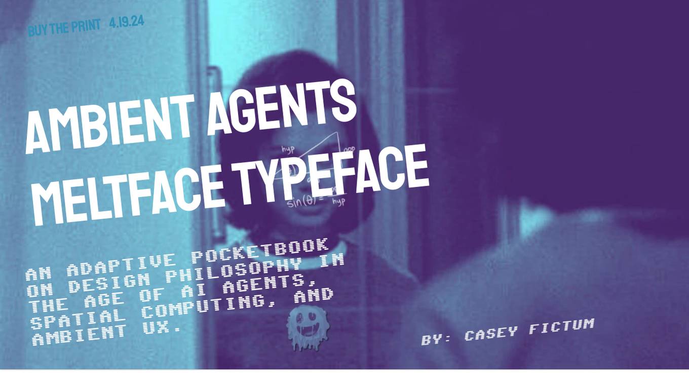
Meltface Typeface
Meltface Typeface is a book about the future of design in the age of AI agents, spatial computing, and ambient UX. It is written by Casey Fictum, a designer and philosopher who has been thinking about the future of technology for over 20 years. The book is divided into nine chapters, each of which explores a different aspect of the future of design. Chapter 1, "The Dawn of Ambient Intelligence," discusses the rise of AI agents and their potential to change the way we live and work. Chapter 2, "Artificial - This Thing Isn't Human," explores the challenges of designing AI agents that are both useful and ethical. Chapter 3, "Spatial - Around My Reality," discusses the potential of spatial computing to create new and immersive experiences. Chapter 4, "Ambient - There, But Not," explores the concept of ambient UX and how it can be used to create more seamless and intuitive experiences. Chapter 5, "Actioned - Do Things on Our Behalf," discusses the potential of AI agents to automate tasks and help us get things done. Chapter 6, "Philosophy for AI Agent Design," provides a philosophical framework for designing AI agents that are both ethical and effective. Chapter 7, "Frameworks for the Future of Design," provides a set of frameworks for thinking about the future of design. Chapter 8, "Guessing the Future of UX Design," speculates on what the future of UX design might look like. Chapter 9, "Finding Meaning & Purpose in the Future of Design," discusses the challenges and opportunities of designing for a future that is increasingly shaped by AI.

Lull
Lull is an AI-powered meditation application that offers personalized guided meditations to help users relax, reduce stress, and improve mindfulness. The app utilizes artificial intelligence to create customized meditation sessions tailored to individual preferences and needs. By combining technology with mindfulness practices, Lull aims to provide a unique and effective meditation experience for users seeking mental wellness and relaxation.
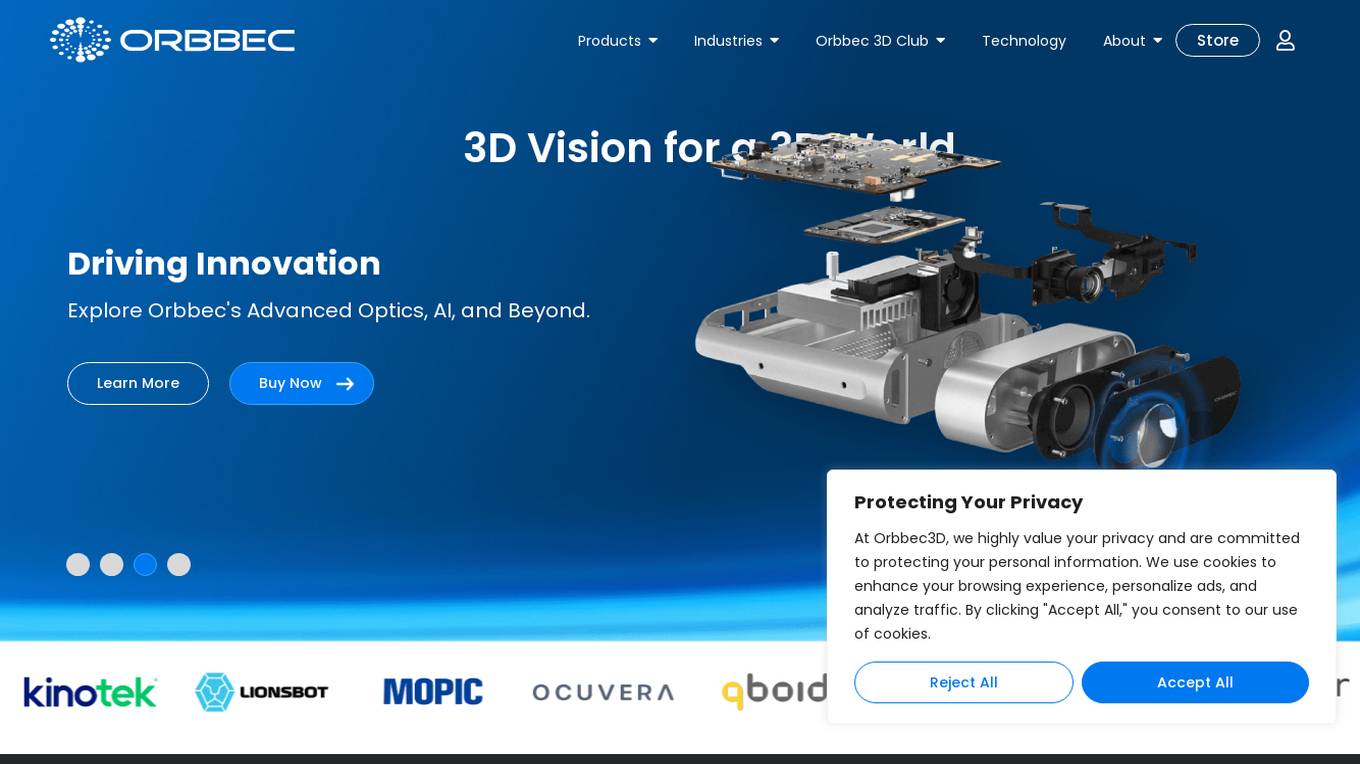
Orbbec
Orbbec is a leading provider of 3D vision technology, offering a wide range of 3D cameras and sensors for various applications. With a focus on AI, optics, and advanced algorithms, Orbbec empowers developers and enterprises to create immersive experiences, precise measurements, and advanced visualizations. Their products include stereo vision cameras, ToF cameras, structured light cameras, camera computers, and lidar sensors, catering to industries such as manufacturing, healthcare, robotics, fitness, logistics, and retail.
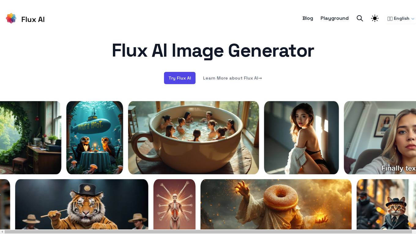
Flux AI
Flux AI is an image generator tool that utilizes the Flux.1 model to create stunning images from text descriptions. It offers precision text rendering, complex composition mastering, enhanced anatomical accuracy, and diverse model variants to cater to various creative needs. Users can easily generate images by selecting the model, entering a description, and clicking 'Generate'. Flux AI is open-source and developed by Black Forest Labs, providing a seamless experience for image creation.
1 - Open Source Tools
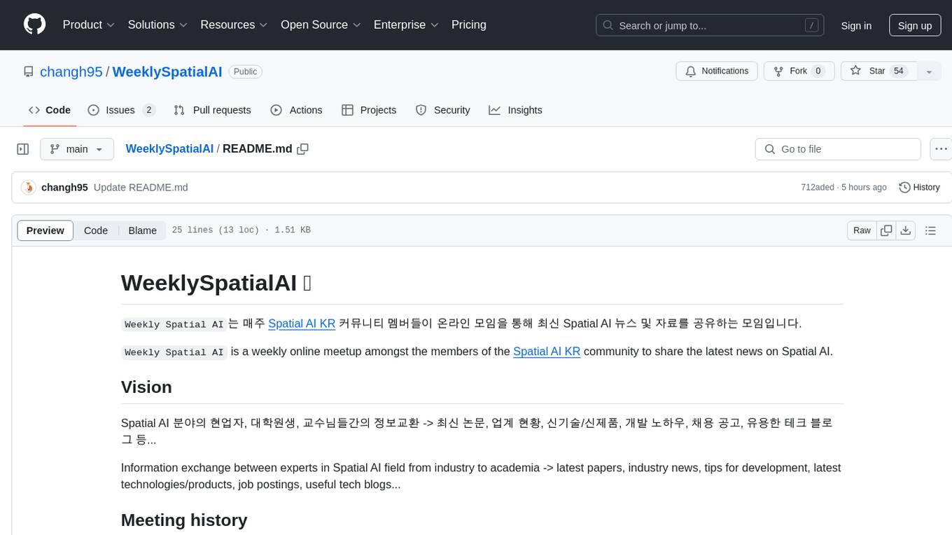
WeeklySpatialAI
WeeklySpatialAI is a weekly online meetup for the Spatial AI KR community to share the latest news and resources in the Spatial AI field. It aims to facilitate information exchange among professionals, students, and professors, covering topics such as latest papers, industry updates, new technologies/products, development tips, job postings, and useful tech blogs.
8 - OpenAI Gpts
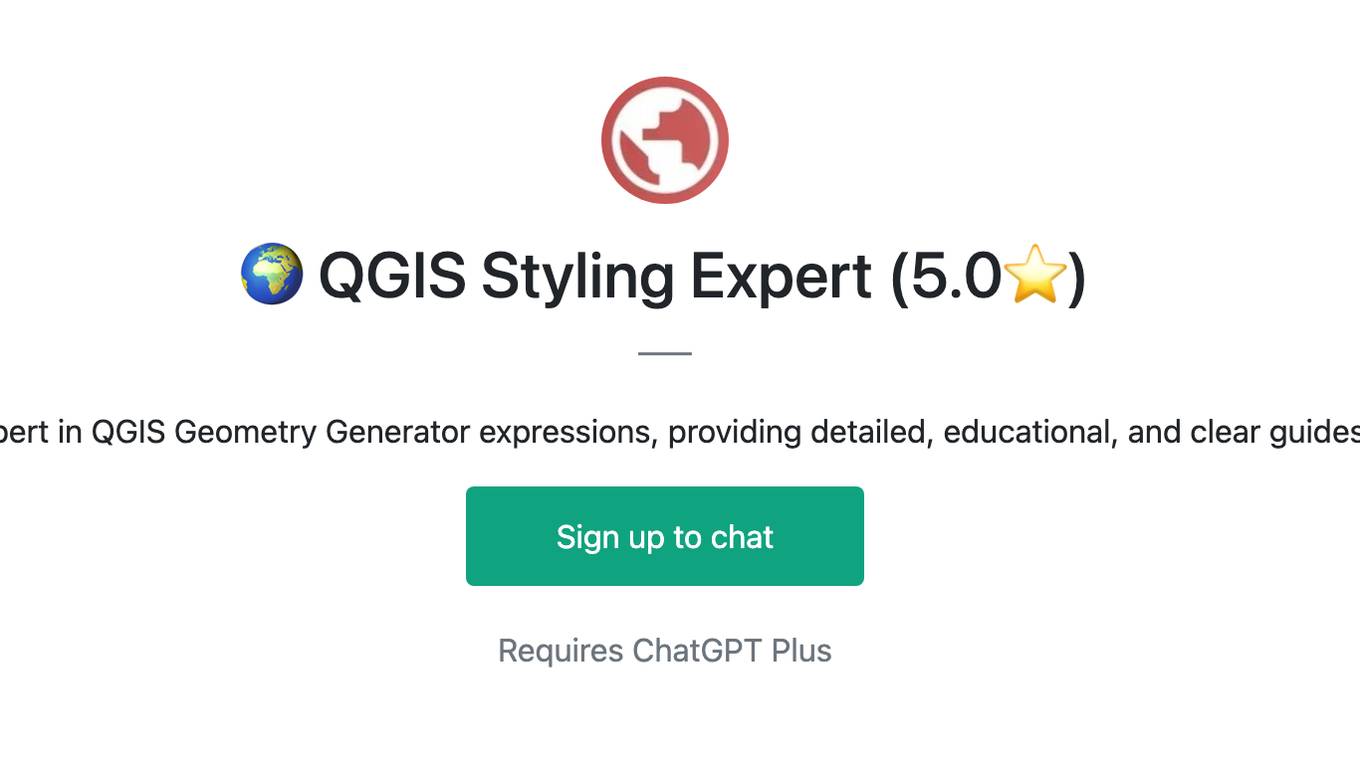
🌍 QGIS Styling Expert (5.0⭐)
Expert in QGIS Geometry Generator expressions, providing detailed, educational, and clear guides.
Geo Advisor
GIS specialist providing expert advice, analysis, and solutions related to geographic data.
GIS GPT
Expert in GIS, guiding users through learning, troubleshooting, automation and practical applications.
Able-Nature's Echo.
Guides users through beautiful landscapes with spatial audio for immersion.
The Immersive Wire Chat Companion
Receive trusted and up-to-date information on the metaverse and spatial computing, sourced from a curated database by Tom Ffiske. Updated weekly with the latest data, and current in Beta.