Best AI tools for< Humanitarian Aid Worker >
Infographic
4 - AI tool Sites
AI for Good Foundation
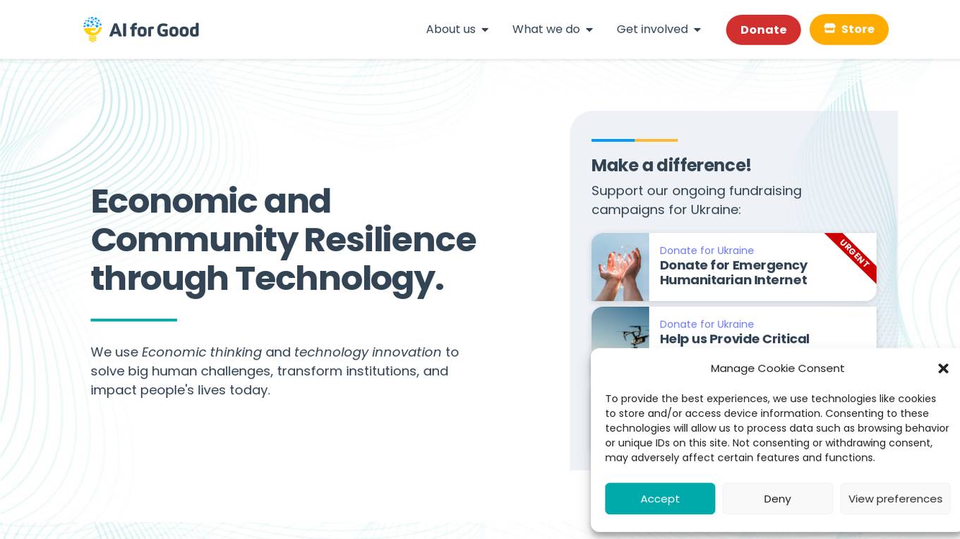
AI for Good Foundation is a platform dedicated to leveraging economic thinking and technology innovation to address significant human challenges, transform institutions, and positively impact people's lives. The foundation focuses on creating real economic and tech solutions, educating various stakeholders, and crafting technology-driven policy solutions at all levels of government. Through projects like Intelligent Societies, Humanitarian Aid 2.0, and Eureka - an intelligent assistant for refugees, AI for Good Foundation aims to make a difference by supporting ongoing fundraising campaigns and providing critical aid and support to communities in need.
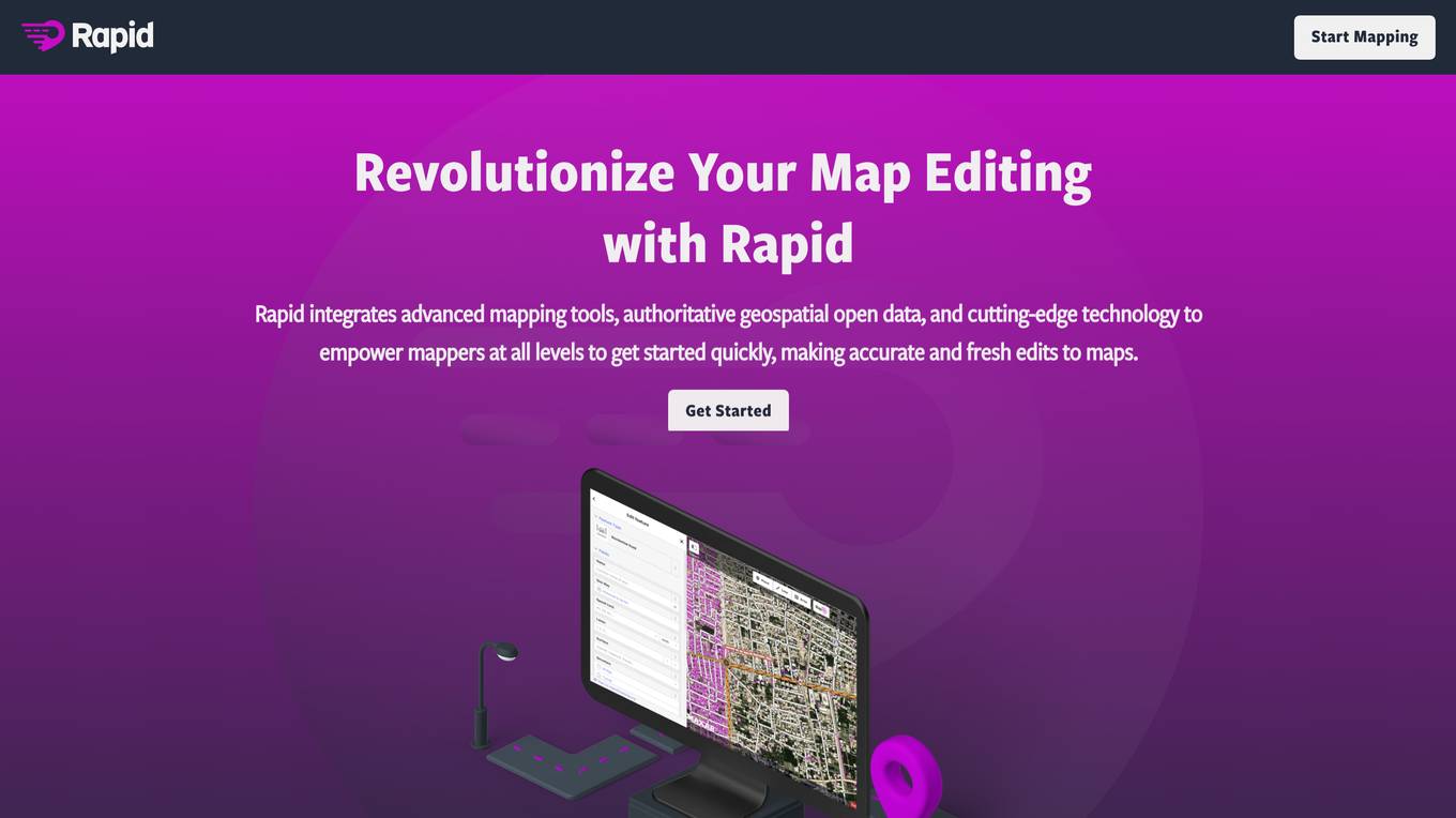
Rapid Editor
Rapid Editor is an advanced mapping tool that revolutionizes map editing by integrating cutting-edge technology and authoritative geospatial open data. It empowers OpenStreetMap mappers of all levels to quickly make accurate and fresh edits to maps. The tool saves effort by tapping into open data and AI-predicted features to draw map geometry, provides AI-analyzed satellite imagery for a high-level overview of unmapped areas, and displays open map data and machine learning detections in an intuitive user interface. Rapid Editor is designed to help map the world efficiently and is supported by a strong community of humanitarian and community groups.
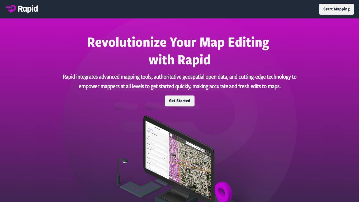
Rapid Editor
Rapid Editor is an advanced mapping tool that revolutionizes map editing by integrating cutting-edge technology and authoritative geospatial open data. It empowers OpenStreetMap mappers of all levels to make accurate and fresh edits quickly. The tool saves effort by utilizing AI to identify predicted features and provide a high-level overview of unmapped data globally. Rapid Editor's intuitive interface simplifies mapping, making it clear and simple for humanitarian and community groups to facilitate mapping projects.
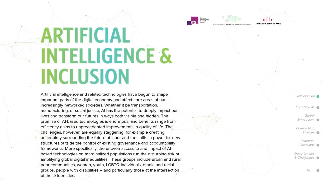
AI & Inclusion Hub
The website focuses on the intersection of artificial intelligence (AI) and inclusion, exploring the impact of AI technologies on marginalized populations and global digital inequalities. It provides resources, research findings, and ideas on themes like health, education, and humanitarian crisis mitigation. The site showcases the work of the Ethics and Governance of AI initiative in collaboration with the MIT Media Lab, incorporating perspectives from experts in the field. It aims to address challenges and opportunities related to AI and inclusion through research, events, and multi-stakeholder dialogues.
1 - Open Source Tools
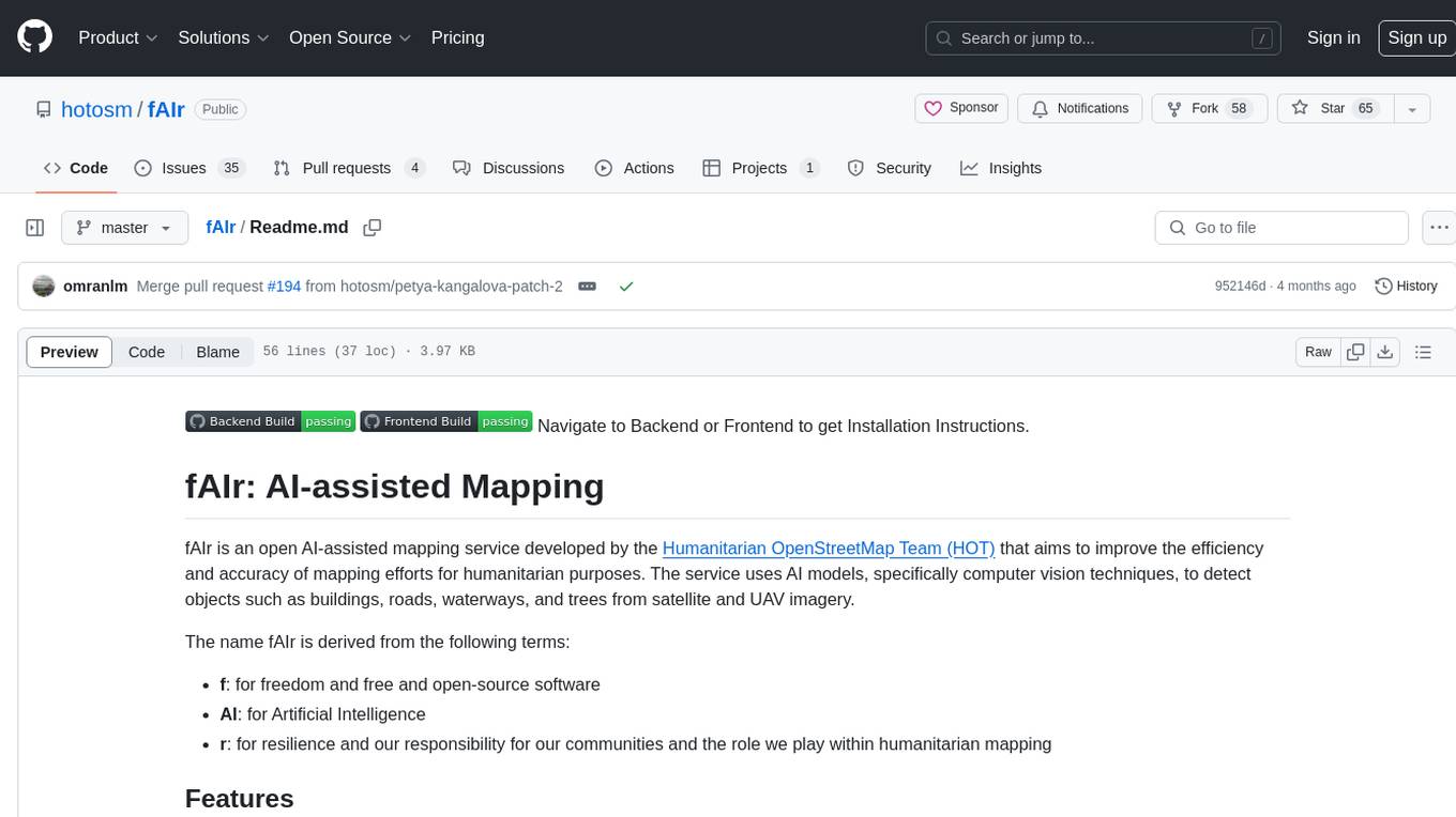
fAIr
fAIr is an open AI-assisted mapping service developed by the Humanitarian OpenStreetMap Team (HOT) to improve mapping efficiency and accuracy for humanitarian purposes. It uses AI models, specifically computer vision techniques, to detect objects like buildings, roads, waterways, and trees from satellite and UAV imagery. The service allows OSM community members to create and train their own AI models for mapping in their region of interest and ensures models are relevant to local communities. Constant feedback loop with local communities helps eliminate model biases and improve model accuracy.
4 - OpenAI Gpts
Palestine Gaza Advocate
A neutral guide on the Gaza situation, offering support and advocacy tips.
