Best AI tools for< Gis Analyst >
Infographic
11 - AI tool Sites
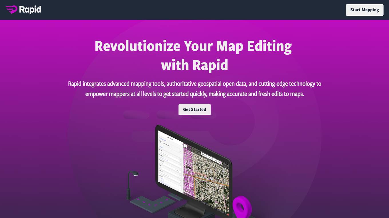
Rapid Editor
Rapid Editor is an advanced mapping tool that revolutionizes map editing by integrating cutting-edge technology and authoritative geospatial open data. It empowers OpenStreetMap mappers of all levels to quickly make accurate and fresh edits to maps. The tool saves effort by tapping into open data and AI-predicted features to draw map geometry, provides AI-analyzed satellite imagery for a high-level overview of unmapped areas, and displays open map data and machine learning detections in an intuitive user interface. Rapid Editor is designed to help map the world efficiently and is supported by a strong community of humanitarian and community groups.
Rapid Editor
Rapid Editor is an advanced mapping tool that revolutionizes map editing by integrating cutting-edge technology and authoritative geospatial open data. It empowers OpenStreetMap mappers of all levels to make accurate and fresh edits quickly. The tool saves effort by utilizing AI to identify predicted features and provide a high-level overview of unmapped data globally. Rapid Editor's intuitive interface simplifies mapping, making it clear and simple for humanitarian and community groups to facilitate mapping projects.

Minimap.ai
Minimap.ai is an innovative AI-powered tool designed to provide users with detailed and accurate maps for various purposes. The tool utilizes advanced artificial intelligence algorithms to analyze and process geographical data, enabling users to generate customized maps quickly and efficiently. With Minimap.ai, users can create maps for navigation, urban planning, disaster management, and other applications with ease. The tool offers a user-friendly interface and a wide range of features to cater to different mapping needs.

VIZZIO.AI
VIZZIO.AI is an innovative AI-based platform that specializes in ultra-large-scale 3D reconstruction of digital city models worldwide. The platform utilizes smart AI algorithms to create dimensionally-accurate, photorealistic, and semantic 3D digital twins of the planet Earth. Powered by deep learning and satellite imagery, VIZZIO.AI offers timely global coverage for 3D mapping and visualization, enabling cross-platform embedding and planetary-scale city mapping. The platform's AI-based city modeling technology, known as 'EARTH ENGINE,' can identify buildings from above, extrapolate 3D reconstructions, and integrate live video feeds for immersive experiences.
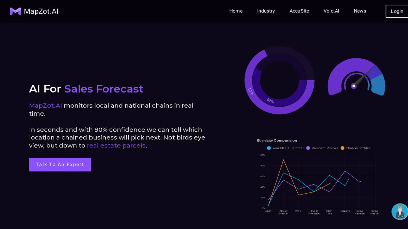
MapZot.AI
MapZot.AI is an advanced retail site selection and market analysis AI tool that leverages big data and unique algorithms to provide real-time insights for businesses. It monitors local and national chains, predicts their next locations with high confidence, and offers decision analytics to pinpoint the best real estate locations for various industries. With features like internal data utilization, store cannibalization models, and over 90% confidence in decision-making, MapZot.AI is a powerful platform for site selection and market planning.
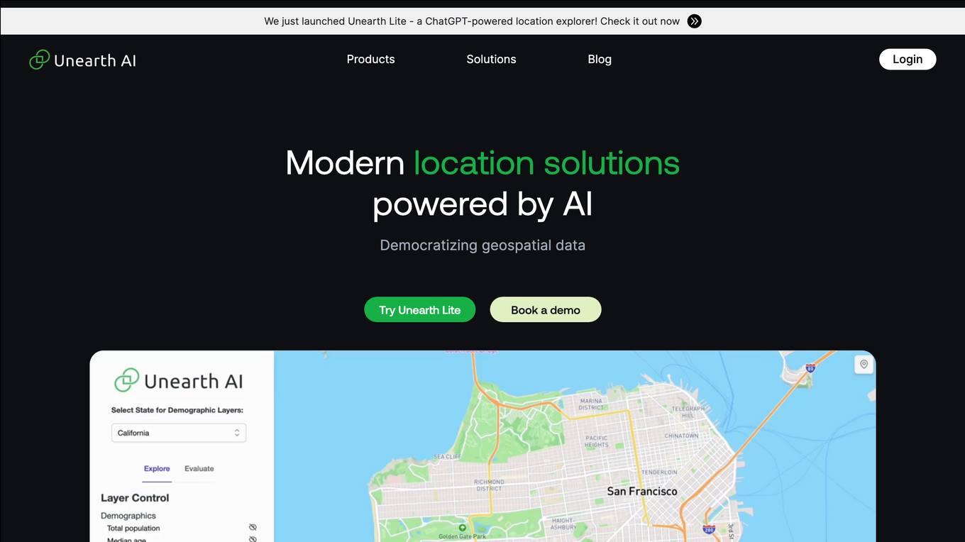
Unearth AI
Unearth AI is a platform offering geospatial data and location solutions. It provides various products like Unearth Lite, Unearth Insights, and Unearth Platform to cater to different needs. Unearth Lite is a ChatGPT-powered location explorer that offers a simple dashboard to explore locations worldwide. The platform aims to democratize geospatial data and is trusted by fast-growing businesses. With modern location solutions powered by AI, Unearth AI is revolutionizing the way businesses interact with and analyze location-based data.
Blackshark.ai
Blackshark.ai is an AI-based platform that generates real-time accurate semantic photorealistic 3D digital twin of the entire planet. The platform extracts insights about the planet's infrastructure from satellite and aerial imagery via machine learning at a global scale. It enriches missing attributes using AI to provide a photorealistic, geo-typical, or asset-specific digital twin. The results can be used for visualization, simulation, mapping, mixed reality environments, and other enterprise solutions. The platform offers end-to-end geospatial solutions, including globe data input sources, no-code data labeling, geointelligence at scale, 3D semantic map, and synthetic environments.
Bedrock Analytics
Bedrock Analytics is an AI-powered Location Intelligence and AI Platform that helps organizations maximize the value of place for strategic investments, operational performance, and everyday decisions. The platform offers scalable analysis and enrichment solutions embedded in web & mobile apps, with a wide range of data layers across categories such as human mobility, points of interest, and economic data. Bedrock Analytics turns locations into assets by providing the fastest, easiest, and most effective way to utilize location data for solving organizational tasks and challenges.
Pointly
Pointly is an intelligent, cloud-based B2B software solution that enables efficient automatic and advanced manual classification in 3D point clouds. It offers innovative AI techniques for fast and precise data classification and vectorization, transforming point cloud analysis into an enjoyable and efficient workflow. Pointly provides standard and custom classifiers, tools for classification and vectorization, API and on-premise classification options, collaboration features, secure cloud processing, and scalability for handling large-scale point cloud data.
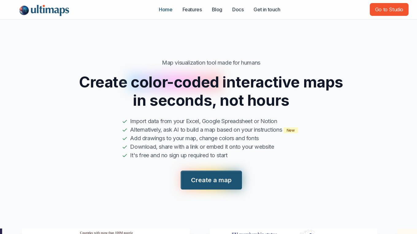
Ultimaps
Ultimaps is an AI-powered map visualization tool designed for humans to create color-coded interactive maps in seconds. Users can import data from Excel, Google Spreadsheet, or Notion, or instruct the AI to build a map based on their requirements. The tool allows users to add drawings, change colors and fonts, and easily download, share, or embed the maps. Ultimaps offers features like automatic color-coding based on imported data, customization options, auto-saving of visualizations, and the ability to create interactive maps without any coding. It is a user-friendly platform suitable for various mapping needs.
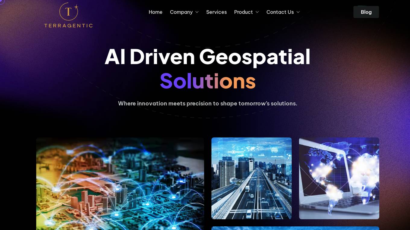
Terragentic
Terragentic is an AI-driven geospatial technology company that empowers sustainable resource management and transformative decision-making. They provide cutting-edge geospatial services, precise mapping, advanced data analytics, and innovative applications of artificial intelligence to solve complex challenges across diverse sectors. Terragentic is committed to environmental stewardship, ethical business practices, and delivering high-quality, AI-enhanced, accurate, and actionable geospatial intelligence to empower industries.
2 - Open Source Tools
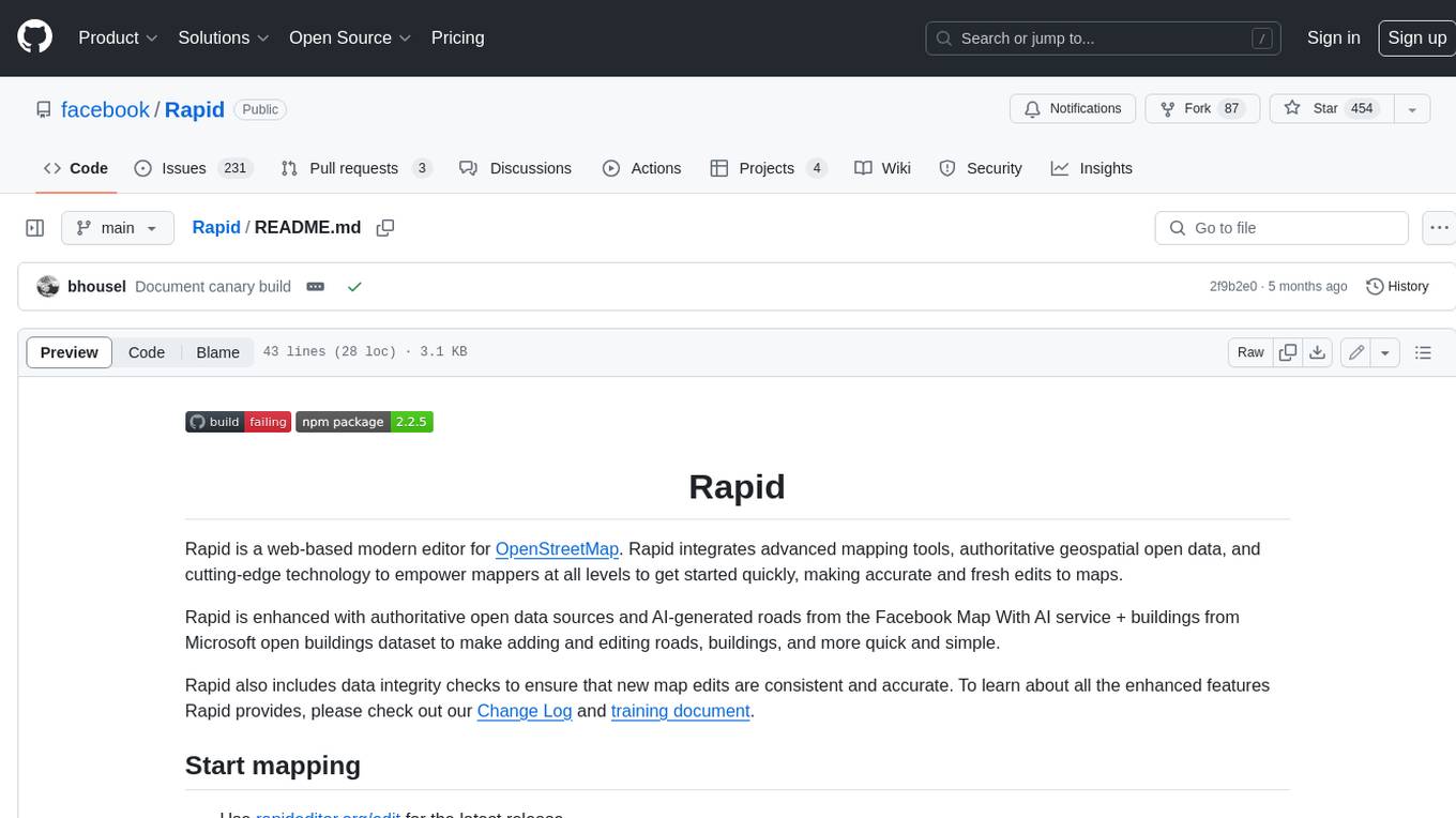
Rapid
Rapid is a web-based modern editor for OpenStreetMap. It integrates advanced mapping tools, authoritative geospatial open data, and cutting-edge technology to empower mappers at all levels to get started quickly, making accurate and fresh edits to maps. Rapid is enhanced with authoritative open data sources and AI-generated roads from the Facebook Map With AI service + buildings from Microsoft open buildings dataset to make adding and editing roads, buildings, and more quick and simple. Rapid also includes data integrity checks to ensure that new map edits are consistent and accurate.
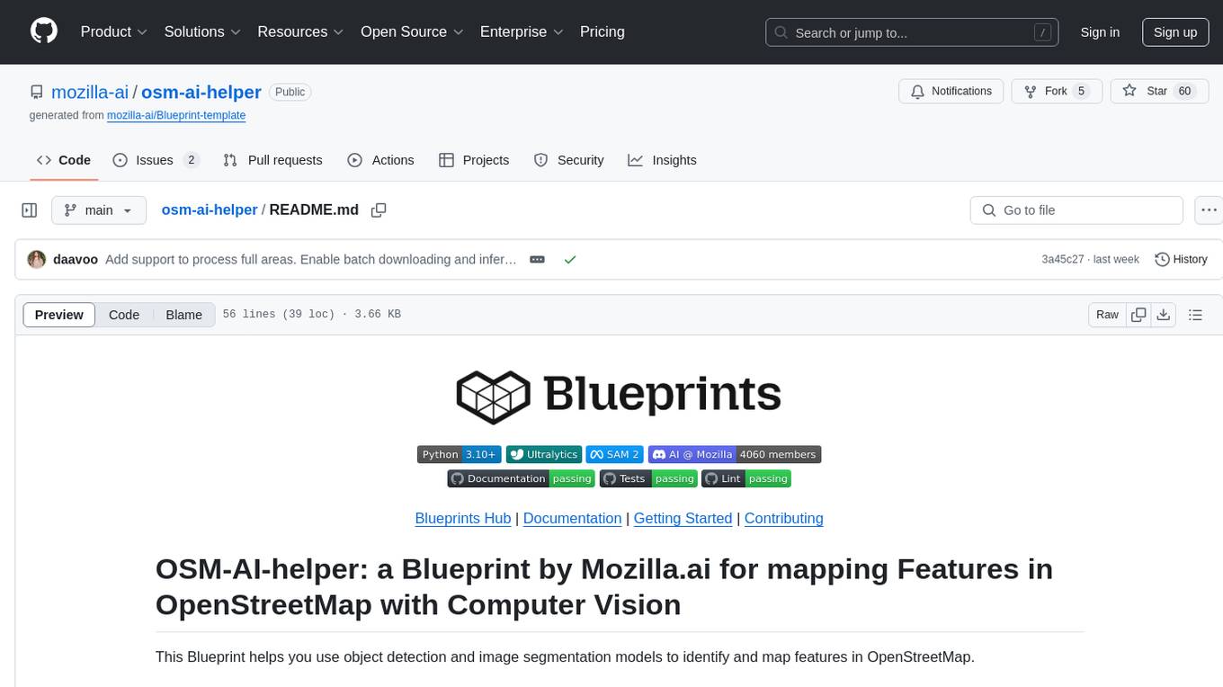
osm-ai-helper
OSM-AI-helper is a Blueprint by Mozilla.ai designed to assist users in mapping features in OpenStreetMap using object detection and image segmentation models. It provides tools for identifying and mapping various features, such as swimming pools, in OpenStreetMap. Users can also create custom datasets and fine-tune models for different use cases. The project is licensed under the AGPL-3.0 License and welcomes contributions from the community.
11 - OpenAI Gpts
GIS GPT
Expert in GIS, guiding users through learning, troubleshooting, automation and practical applications.
Geo Advisor
GIS specialist providing expert advice, analysis, and solutions related to geographic data.
OpenStreetMap Query
Helps get map data from Open Street Map by generating Overpass Turbo queries. Ask me for mapping features like cafes, rivers or highways

🌍 QGIS Styling Expert (5.0⭐)
Expert in QGIS Geometry Generator expressions, providing detailed, educational, and clear guides.
LiDAR GPT - LAStools Comprehensive Expert
Expert in LAStools with in-depth command line knowledge.

Urban Analyzer: LP Report Q4 2023
Urban Analyzer with consolidated files containing just UR information.