Best AI tools for< Environmental Planner >
Infographic
20 - AI tool Sites

SpatialBrowser
SpatialBrowser is a web application that provides spatial browsing capabilities for users to explore and analyze spatial data. The platform allows users to visualize geographic information, perform spatial analysis, and create interactive maps. With SpatialBrowser, users can easily navigate through spatial datasets, conduct geospatial queries, and gain insights from the data. The application is designed to be user-friendly and intuitive, making it suitable for both beginners and advanced users in various industries such as urban planning, environmental management, and business analytics.

Minimap.ai
Minimap.ai is an innovative AI-powered tool designed to provide users with detailed and accurate maps for various purposes. The tool utilizes advanced artificial intelligence algorithms to analyze and process geographical data, enabling users to generate customized maps quickly and efficiently. With Minimap.ai, users can create maps for navigation, urban planning, disaster management, and other applications with ease. The tool offers a user-friendly interface and a wide range of features to cater to different mapping needs.
FlyPix
FlyPix is an AI-enabled geospatial solutions platform that leverages advanced AI technology to transform object detection, localization, tracking, and monitoring in the field of geospatial technology. The platform offers a wide range of capabilities, including AI-driven object analysis, change and anomaly detection, dynamic tracking, and custom use cases tailored to meet unique industry needs. FlyPix aims to provide unparalleled precision and efficiency in operations by converting complex imagery into actionable, geo-referenced insights.
Terragentic
Terragentic is an AI-driven geospatial technology company that empowers sustainable resource management and transformative decision-making. They provide cutting-edge geospatial services, precise mapping, advanced data analytics, and innovative applications of artificial intelligence to solve complex challenges across diverse sectors. Terragentic is committed to environmental stewardship, ethical business practices, and delivering high-quality, AI-enhanced, accurate, and actionable geospatial intelligence to empower industries.
Picterra
Picterra is a geospatial AI platform that offers reliable solutions for sustainability, compliance, monitoring, and verification. It provides an all-in-one plot monitoring system, professional services, and interactive tours. Users can build custom AI models to detect objects, changes, or patterns using various geospatial imagery data. Picterra aims to revolutionize geospatial analysis with its category-leading AI technology, enabling users to solve challenges swiftly, collaborate more effectively, and scale further.
Runopt
Runopt is an AI-powered software for land development that revolutionizes the design process by integrating layout, grading, drainage, and utilities into one optimization problem. It aims to deliver cost-effective, sustainable designs in minutes, offering ecological and environmental benefits to developers, engineers, governments, and NGOs. Runopt automates complex calculations, enhances decision-making, and streamlines collaboration, making it a valuable tool for civil engineers, urban planners, and construction firms.
Bayanat
Bayanat is an AI-powered geospatial intelligence company that offers predictive intelligence solutions, smart operations solutions, and smart mobility solutions to various sectors such as defense, environment, energy & resources, smart cities, and transportation. With over 50 years of experience, Bayanat provides high-quality geospatial data, geo-intelligence, and AI-powered data analytics to drive human progress and create game-changing advantages for its clients in the UAE, the Middle East, and beyond.
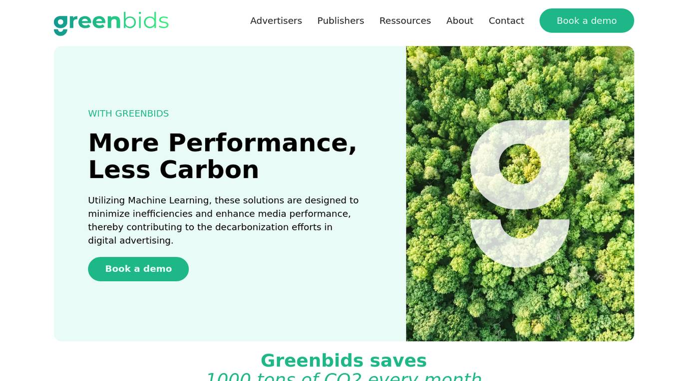
Greenbids
Greenbids is an AI application designed to minimize inefficiencies and enhance media performance in digital advertising, contributing to decarbonization efforts. By utilizing Machine Learning, Greenbids saves 1000 tons of CO2 every month and drives sustainable media effectiveness across the advertising ecosystem. The platform offers a unique solution to decrease ads' carbon footprint, with an average carbon intensity reduction of 36% and a 27% increase in media effectiveness. Greenbids aims to address the environmental impact of programmatic advertising by providing a more sustainable and efficient alternative.
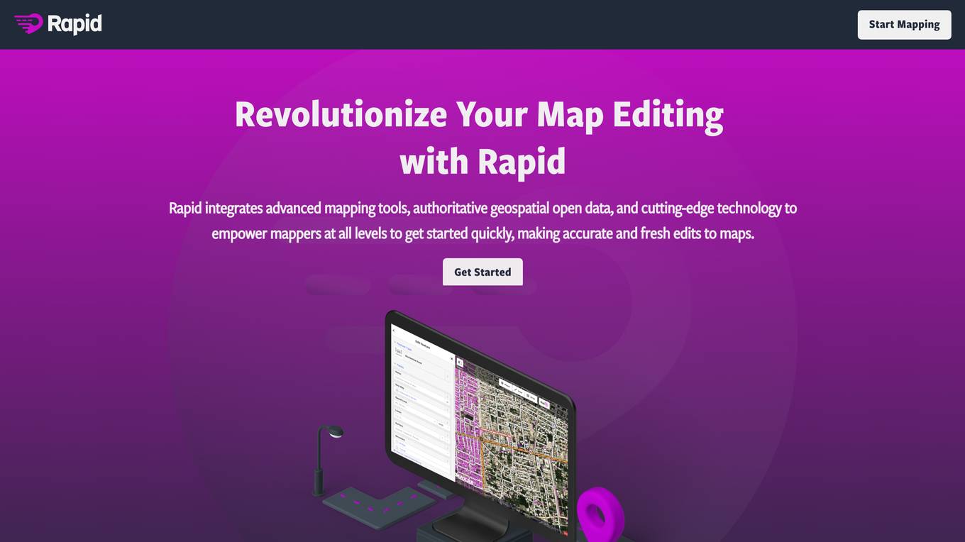
Rapid Editor
Rapid Editor is an advanced mapping tool that revolutionizes map editing by integrating cutting-edge technology and authoritative geospatial open data. It empowers OpenStreetMap mappers of all levels to quickly make accurate and fresh edits to maps. The tool saves effort by tapping into open data and AI-predicted features to draw map geometry, provides AI-analyzed satellite imagery for a high-level overview of unmapped areas, and displays open map data and machine learning detections in an intuitive user interface. Rapid Editor is designed to help map the world efficiently and is supported by a strong community of humanitarian and community groups.
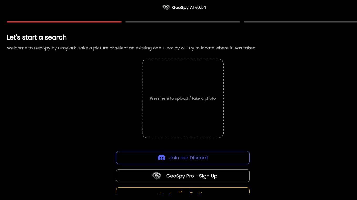
GeoSpy.ai
GeoSpy.ai is a web-based geospatial intelligence platform that provides users with access to a variety of geospatial data and tools. The platform allows users to create and share maps, analyze data, and collaborate with others. GeoSpy.ai is used by a variety of professionals, including law enforcement, intelligence analysts, and environmental scientists.
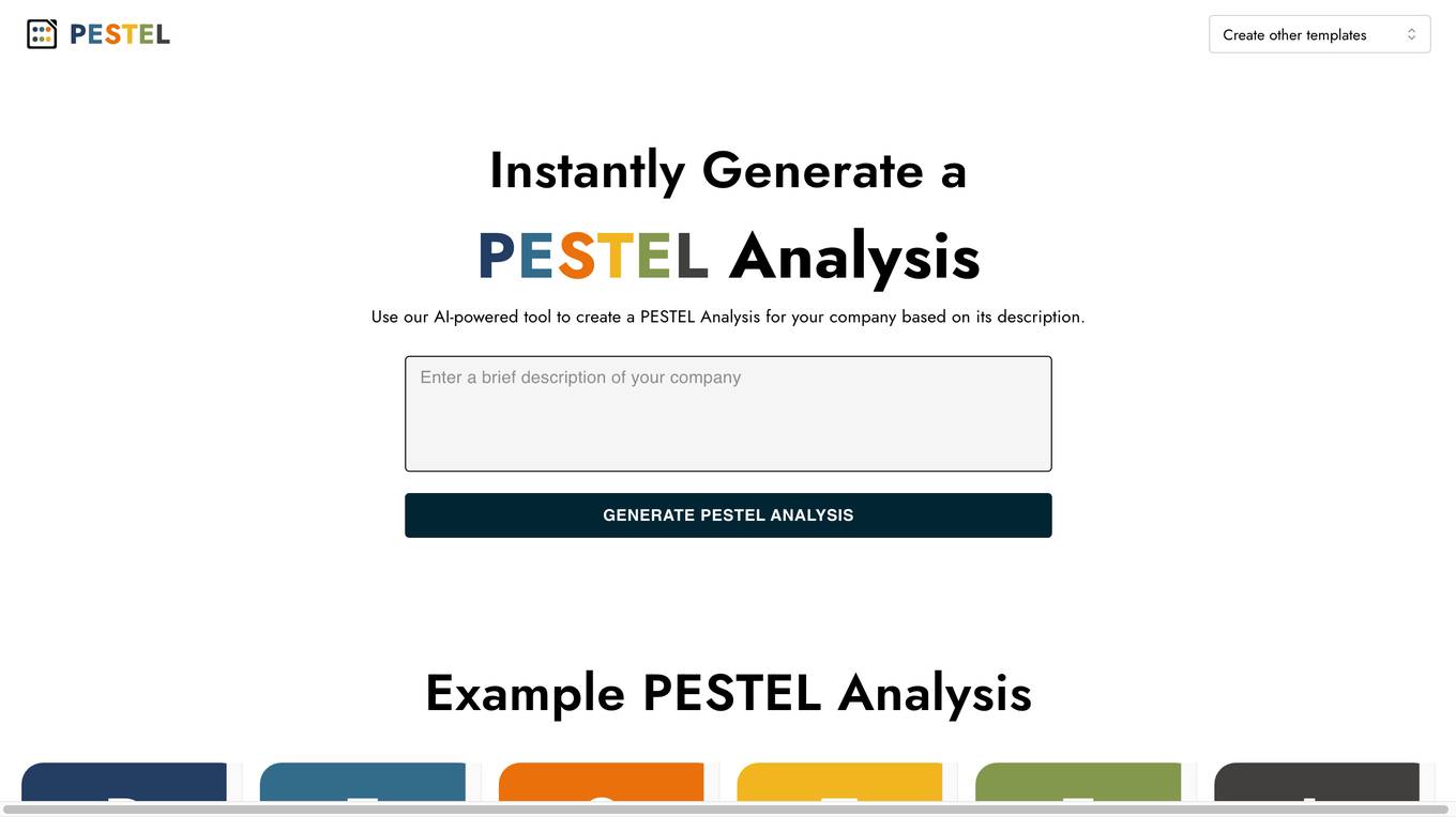
AI PESTEL Analysis Generator
The AI PESTEL Analysis Generator is a powerful tool designed to help organizations understand and evaluate external macro-environmental factors that can impact their business operations. By utilizing artificial intelligence technology, this tool instantly generates a comprehensive PESTEL Analysis based on the company's description. Users can easily edit and download the analysis as an image, enabling them to develop strategic plans to adapt and succeed in the marketplace. The tool simplifies the process of conducting a PESTEL analysis, providing valuable insights for decision-making and planning.
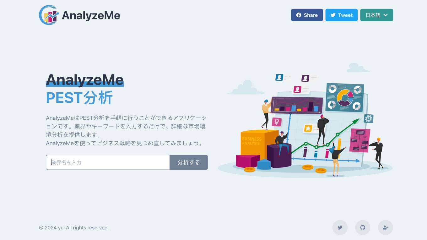
AnalyzeMe
AnalyzeMe is an application that allows users to easily conduct PEST analysis. By entering industry and keywords, it provides detailed market environmental analysis. Users can use AnalyzeMe to reassess their business strategies.
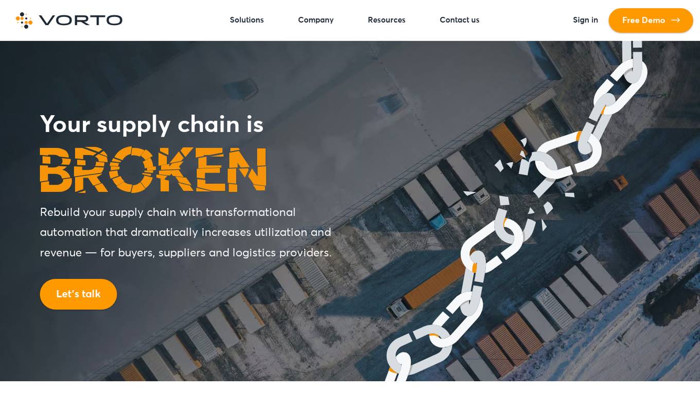
Vorto
Vorto is a transformative supply chain automation platform that aims to revolutionize supply chain management for a sustainable future. By leveraging AI technology, Vorto optimizes supply chain operations, increases efficiency, reduces costs, and minimizes environmental impact. The platform offers predictive capabilities, automates decision-making processes, and enhances visibility and collaboration among buyers, suppliers, and logistics providers. Vorto is designed to address the challenges faced by modern supply chains, such as driver shortages, supply chain disruptions, and rising costs, by providing innovative solutions that drive growth and profitability.

VIZZIO.AI
VIZZIO.AI is an innovative AI-based platform that specializes in ultra-large-scale 3D reconstruction of digital city models worldwide. The platform utilizes smart AI algorithms to create dimensionally-accurate, photorealistic, and semantic 3D digital twins of the planet Earth. Powered by deep learning and satellite imagery, VIZZIO.AI offers timely global coverage for 3D mapping and visualization, enabling cross-platform embedding and planetary-scale city mapping. The platform's AI-based city modeling technology, known as 'EARTH ENGINE,' can identify buildings from above, extrapolate 3D reconstructions, and integrate live video feeds for immersive experiences.
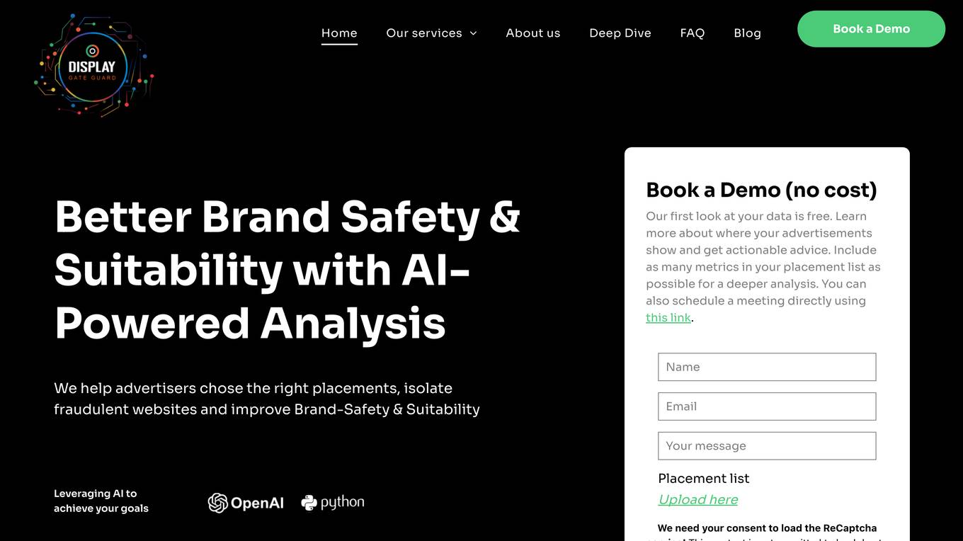
DisplayGateGuard
DisplayGateGuard is an AI-powered brand safety and suitability provider that helps advertisers choose the right placements, isolate fraudulent websites, and enhance brand safety. By leveraging artificial intelligence, the platform offers curated inclusion and exclusion lists to provide deeper insights into the environments and contexts where ads are shown, ensuring campaigns reach the right audience effectively.

HeardThat
HeardThat is a smartphone application designed to help users hear conversations more clearly in noisy environments. By leveraging AI technology, HeardThat separates speech from background noise, allowing users to control the amount of ambient sound they hear. The app works with existing Bluetooth earbuds or hearing aids, eliminating the need for additional devices. HeardThat aims to address the common complaint of struggling to hear in noisy settings, ultimately enhancing social interactions and reducing social isolation.

Shield AI
Shield AI is a defense technology company building the world's best AI pilot, Hivemind, to enable swarms of drones and aircraft to operate autonomously without GPS, communications, or a pilot. Their mission is to protect service members and civilians with intelligent systems. Hivemind is a top gun for every aircraft, more than just preset behaviors and waypoints. Like a human pilot, Hivemind reads and reacts to the battlefield and does not require GPS, waypoints, or prior knowledge to make decisions. It is the first and only fully autonomous AI pilot deployed in combat since 2018. From indoor building clearance with quadcopters to integrated air defense breach with fixed-wing drones and F-16 dogfights, Hivemind learns and autonomously executes missions. Shield AI also offers V-BAT teams, which enable multiple V-BATs to autonomously execute missions in electronically contested environments while reading and reacting to adversaries, the environment, and the other V-BATs executing the mission. V-BAT is combat-tested and deployed since 2018, and it flies in a class of its own. It's the most tactical, most logistically simple VTOL aircraft in the world, capable of executing group 2 to group 5 mission sets. It is the UAS of choice for US and allied forces. Nova 2 is built for the future fight and has proven its value in close-quarters combat with the most demanding customers in the world – on the most high-profile missions. Hivemind gives Nova 2 full autonomy - no GPS, no comms, no pilot needed.
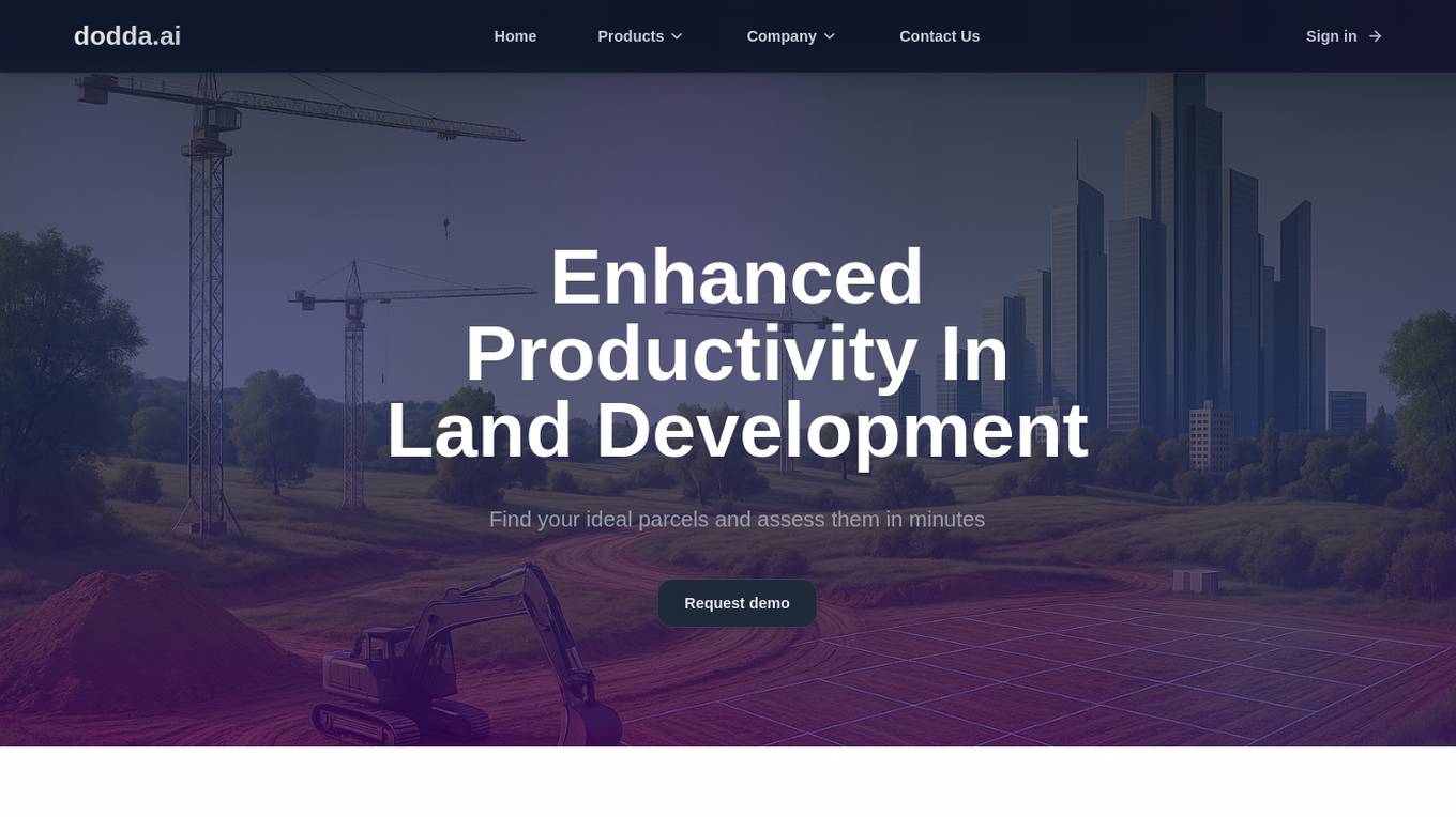
Dodda AI
Dodda AI (dodda.ai) is an AI application that automates site feasibility for Real Estate professionals, enabling quick decision-making by analyzing parcels in minutes. It offers a controlled environment focused on data accuracy, reliability, and scalability through a proprietary Land Use AI Model. Users can save up to 75% of their time compared to traditional methods, with features like instant ADU eligibility analysis, precise parking requirements calculation, feasibility determination, development options exploration, setback measurements, and more. The application is designed to enhance productivity in land development projects, providing verified results and unlocking opportunities with proprietary datasets.
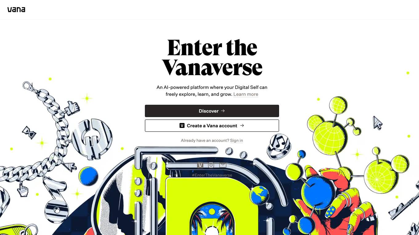
Vana
Vana is an AI-powered platform that allows users to create a digital version of themselves and explore, learn, and grow in a virtual world. Users can create their own avatars, interact with other users, and participate in a variety of activities, including games, educational experiences, and social events. Vana is designed to be a safe and supportive environment where users can learn and grow at their own pace.
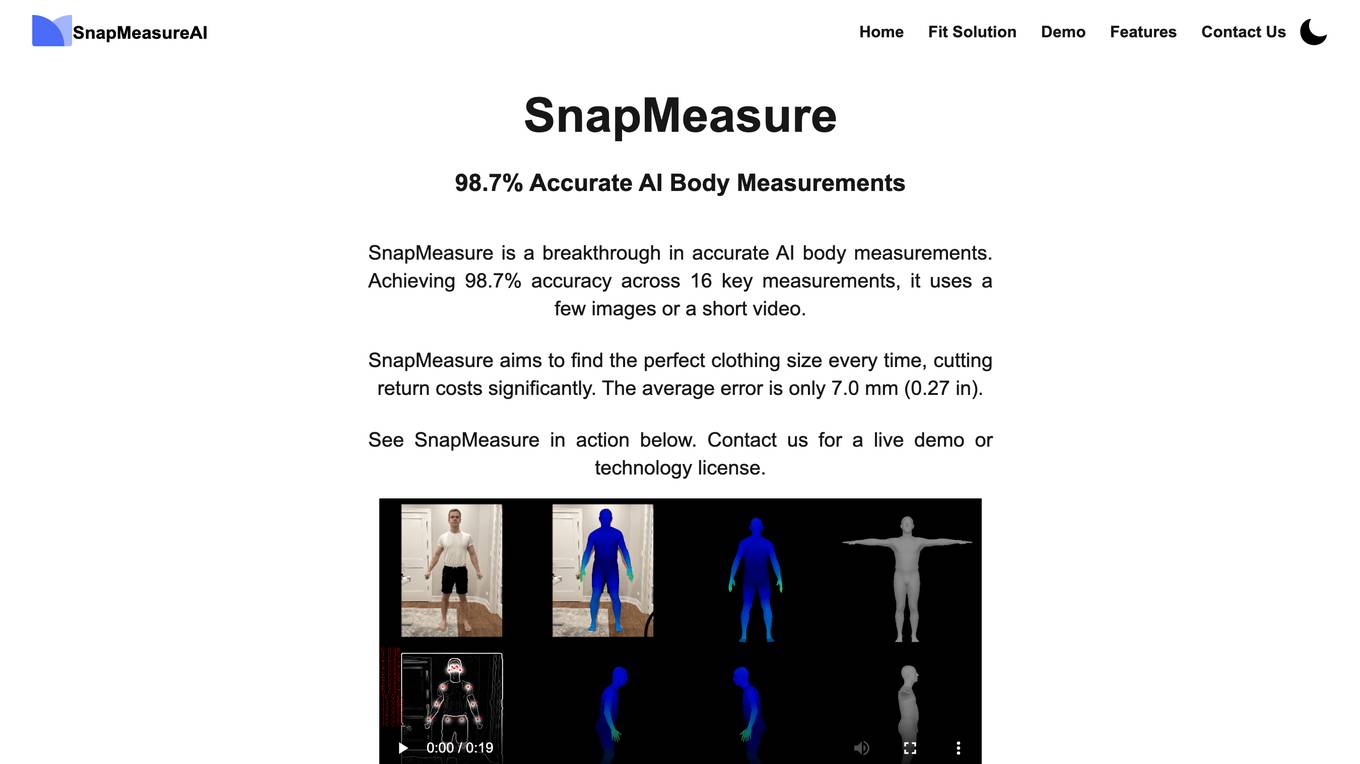
SnapMeasureAI
SnapMeasureAI is an AI application that specializes in automated AI image labeling, precise 3D body measurements, and video-based motion capture. It uses advanced AI technology to accurately understand and model the human body, working with any body type, skin tone, pose, or background. The application caters to various industries such as retail, fitness & health, AI training data, and security, offering a free demo for interested users.
0 - Open Source Tools
20 - OpenAI Gpts
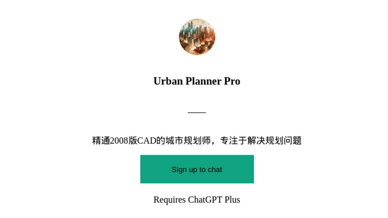
PlanGPT
Formal, professional urban planning expert, skilled in document analysis and feedback interpretation.

Urban Planning & Development Advisor
Urban Planning & Development Advisor discussing sustainable development and community building.
Environmental Disaster Analyst
Simulates and analyzes potential environmental disaster scenarios for preparedness.

Planificación Sostenible
Experto en urbanismo sostenible de ciudades. Entrenado por Pau Seguí
Carbon Emissions calculator: from A to B
Fornisce template per calcolare emissioni da A a B.
Fishing Hole
A fishing spot guide that suggests locations based on user's geographic input.


Biophilia Sage
I'll help you to make decisions that are imbued with Biophilia - the human tendency to be drawn towards life and life-like processes.
Water Resources Engineering Advisor
Advises on water resources management and infrastructure development.

Pós Engenharia de Transportes BR
Especialista em teses de Engenharia de Transportes do Brasil