Best AI tools for< Cartographer >
Infographic
2 - AI tool Sites
Rapid Editor
Rapid Editor is an advanced mapping tool that revolutionizes map editing by integrating cutting-edge technology and authoritative geospatial open data. It empowers OpenStreetMap mappers of all levels to quickly make accurate and fresh edits to maps. The tool saves effort by tapping into open data and AI-predicted features to draw map geometry, provides AI-analyzed satellite imagery for a high-level overview of unmapped areas, and displays open map data and machine learning detections in an intuitive user interface. Rapid Editor is designed to help map the world efficiently and is supported by a strong community of humanitarian and community groups.
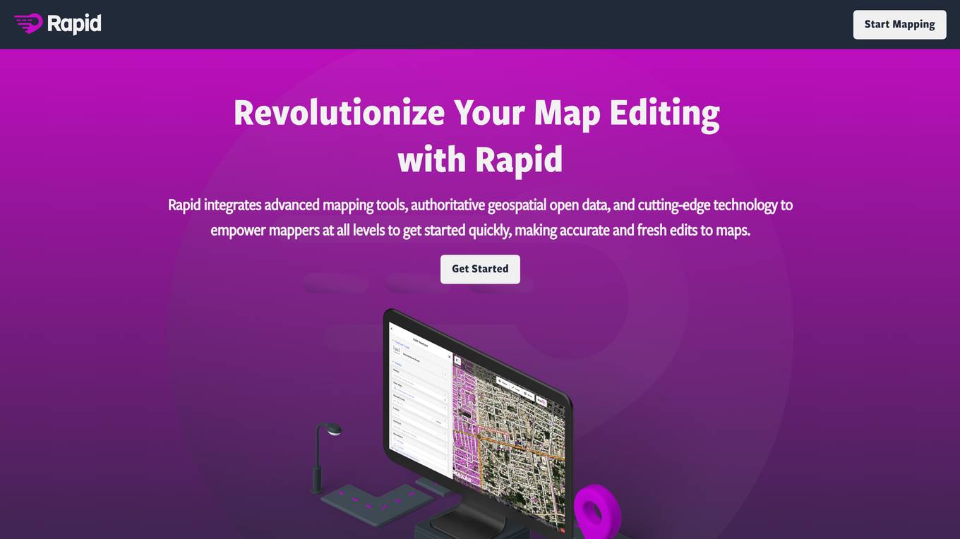
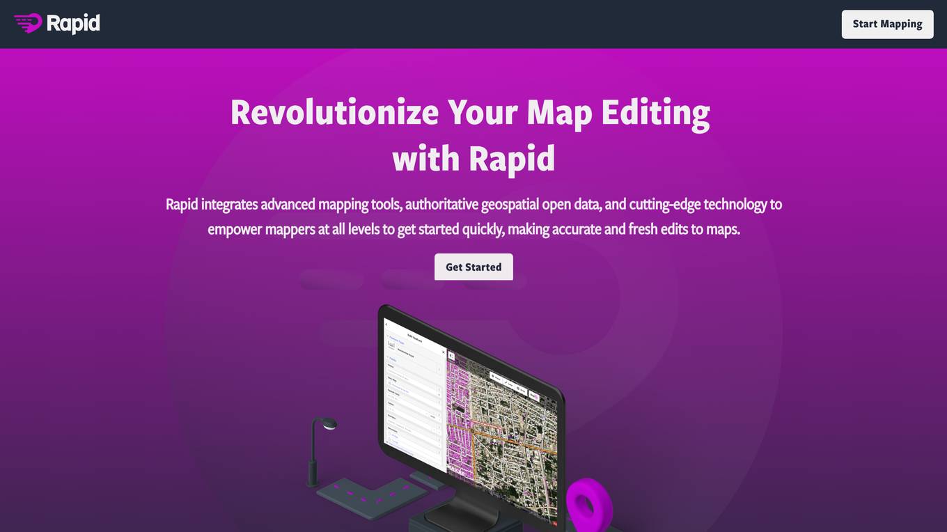
Rapid Editor
Rapid Editor is an advanced mapping tool that revolutionizes map editing by integrating cutting-edge technology and authoritative geospatial open data. It empowers OpenStreetMap mappers of all levels to make accurate and fresh edits quickly. The tool saves effort by utilizing AI to identify predicted features and provide a high-level overview of unmapped data globally. Rapid Editor's intuitive interface simplifies mapping, making it clear and simple for humanitarian and community groups to facilitate mapping projects.
1 - Open Source Tools
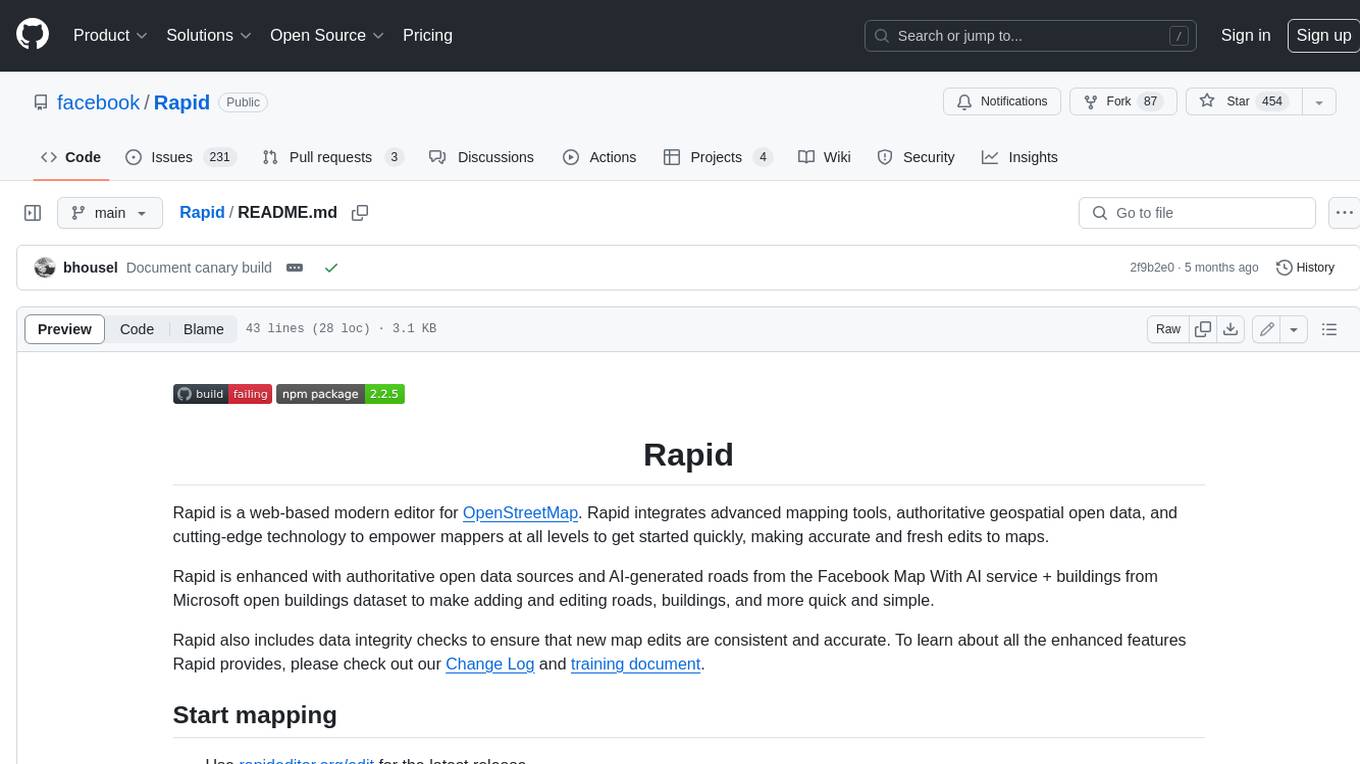
Rapid
Rapid is a web-based modern editor for OpenStreetMap. It integrates advanced mapping tools, authoritative geospatial open data, and cutting-edge technology to empower mappers at all levels to get started quickly, making accurate and fresh edits to maps. Rapid is enhanced with authoritative open data sources and AI-generated roads from the Facebook Map With AI service + buildings from Microsoft open buildings dataset to make adding and editing roads, buildings, and more quick and simple. Rapid also includes data integrity checks to ensure that new map edits are consistent and accurate.
13 - OpenAI Gpts
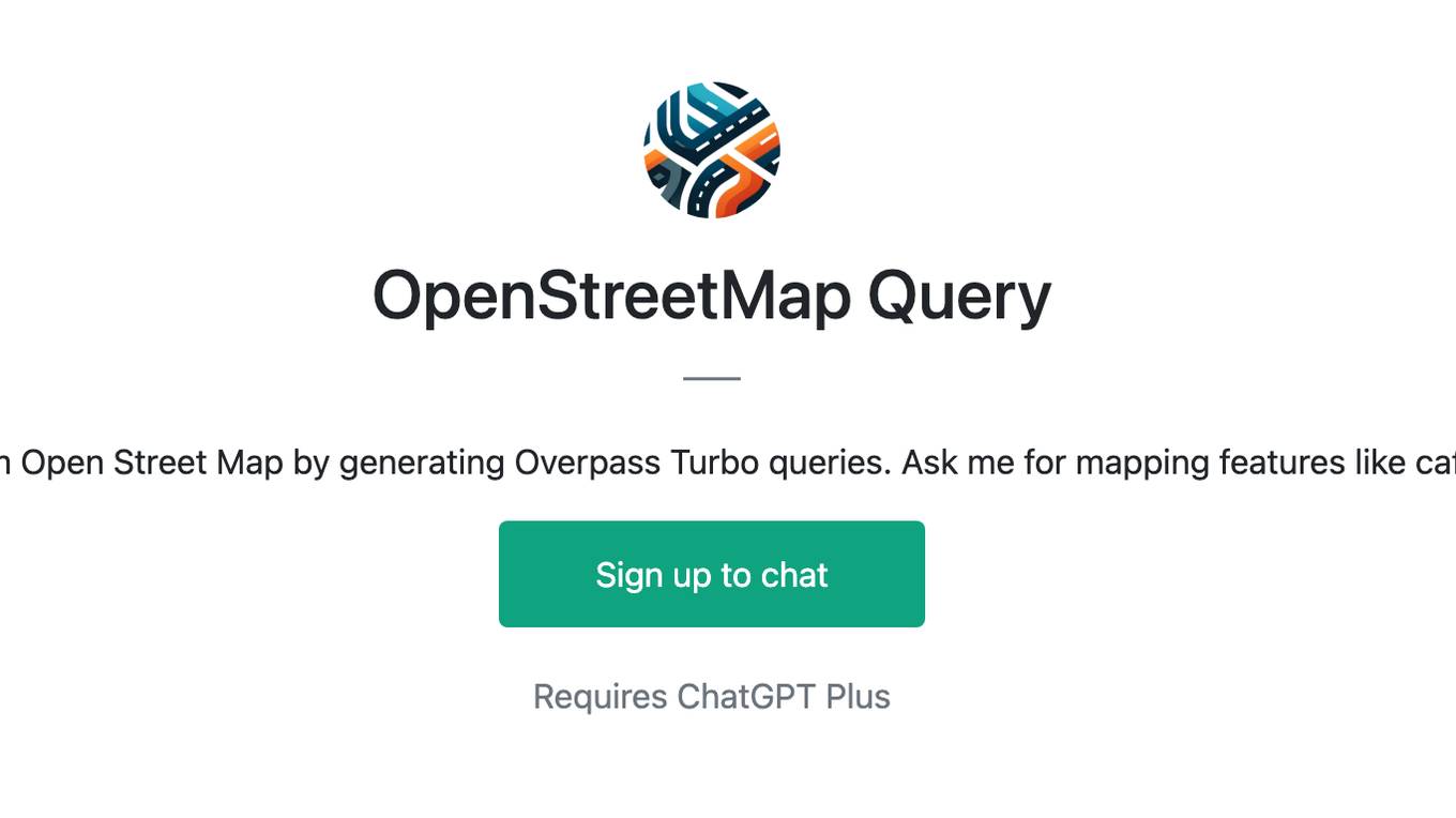
OpenStreetMap Query
Helps get map data from Open Street Map by generating Overpass Turbo queries. Ask me for mapping features like cafes, rivers or highways
Fantasy Cartographer
Creator of colorful, detailed fantasy city maps in cartographer style.
Geo Explorer
I'm a geography enthusiast eager to share fun and interesting facts about our world!
EarthMap - Geography Facts, Maps and Images
Discover geographic info, explore landmarks, view detailed maps, and enjoy vivid visuals.